The best MTB trails around Montereale
4.5
(136)
889
riders
45
rides
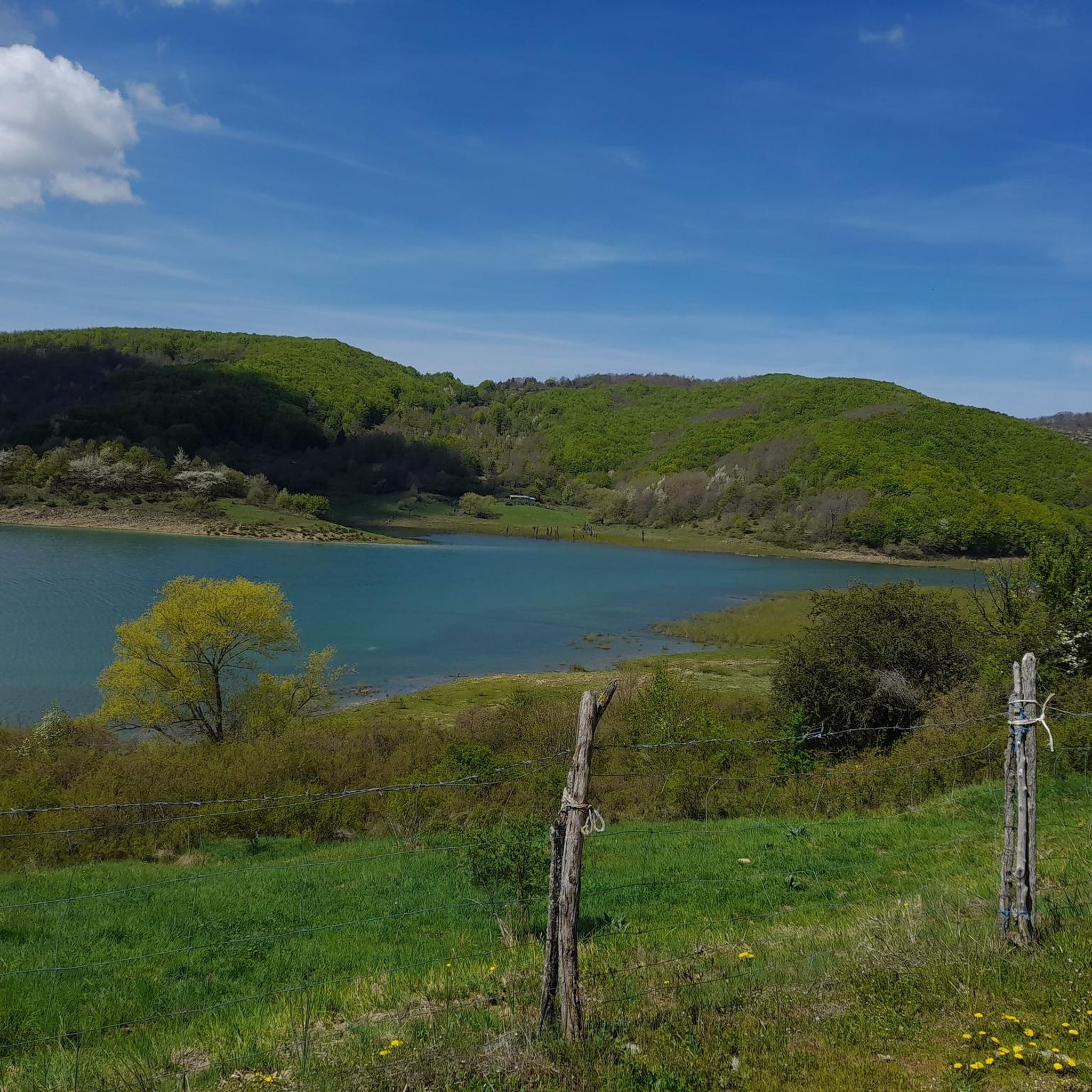
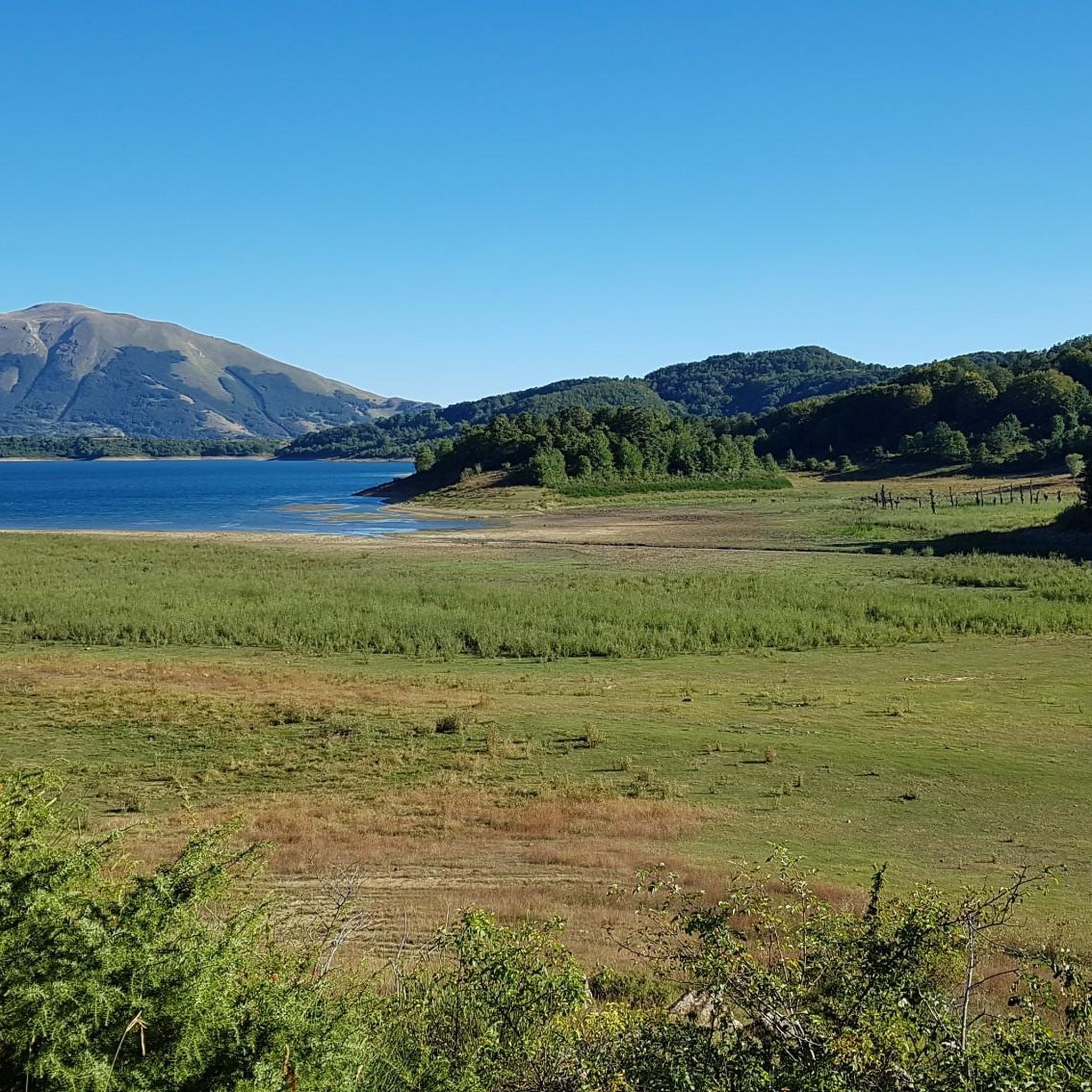
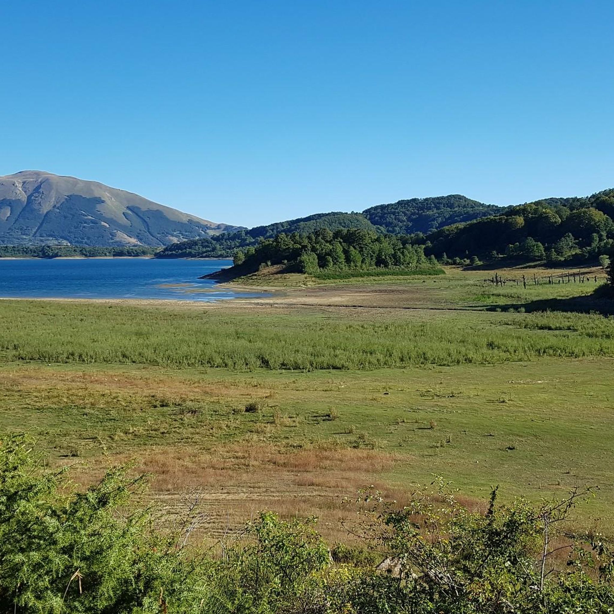
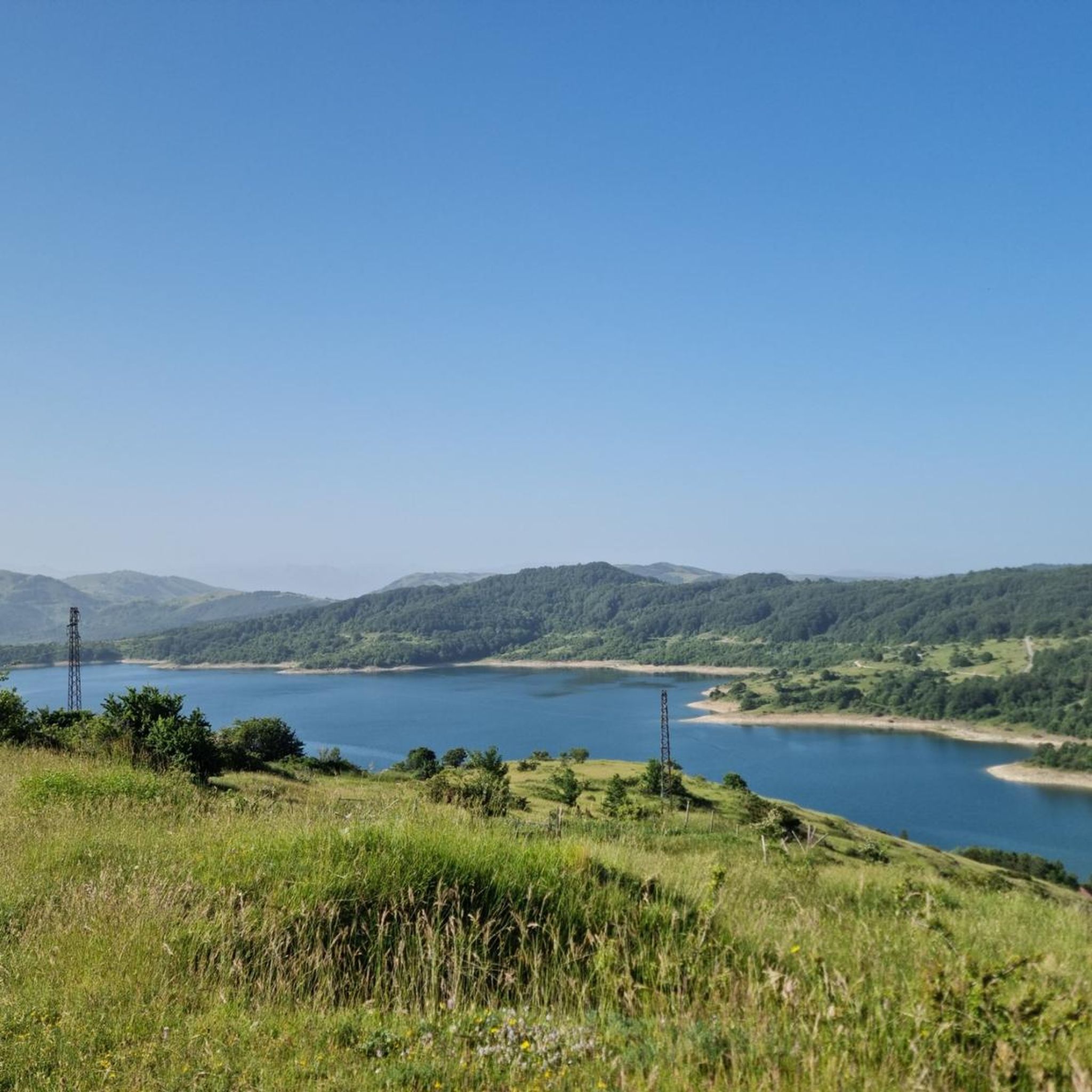
Mountain biking around Montereale, located in the Abruzzo region, offers diverse terrain within the Apennine mountains. The landscape is characterized by unspoiled nature, including mountainous backdrops, valleys, and significant water features like Lake Campotosto. Trails often feature varied elevations, leading through forests and open areas with panoramic views. This region provides a mix of challenging climbs and scenic descents suitable for mountain bikers.
Best mountain bike trails around Montereale
- The most popular mountain bike trail is Waterfall and Natural Pool…
Last updated: August 17, 2026
5.0
(6)
39
riders
44.9km
03:31
770m
770m
Moderate mountain bike ride. Good fitness required. Suitable for all skill levels.
5.0
(2)
6
riders
43.4km
03:42
850m
850m
Moderate mountain bike ride. Good fitness required. Suitable for all skill levels.

Sign up for free
4.0
(2)
6
riders
31.0km
02:51
800m
800m
Moderate mountain bike ride. Good fitness required. Suitable for all skill levels.
8
riders
52.2km
04:02
560m
560m
Moderate mountain bike ride. Good fitness required. Suitable for all skill levels.
3
riders
21.8km
01:50
460m
460m
Moderate mountain bike ride. Good fitness required. Suitable for all skill levels.
Get access to more routes and recommendations from other explorers.
Sign up for free
Already have an account?
Our route recommendations are based on thousands of hikes, rides, and runs completed by other people on komoot.
Start today with a free account
Your next adventure awaits.
Login or Signup
Tips from the Community

A border crossing in the province of L'Aquila located 1,300 meters above sea level to cross the Gran Sasso mountain range via state road 80, which connects the provinces of Teramo and L'Aquila.
0
0


The Capannelle pass is a very popular pass for cyclists and motorcyclists. This joins the Vomano valley to the Aterno valley along the "Strada Maestra del Parco". The name "capannelle" is due to the presence of small stone ruins guarding the fields, located throughout the area. The Capannelle pass is also mentioned by Carlo Emilio Gadda in "Towards Teramo": “At the Capannelle Pass there is a beginning or end, depending on who goes, a long mountain mouth, about one thousand three: whence, going east as I used to do, I greet you by addressing the hills, the waters, the fields dominated by the Eagle: which brings , in the eyes, the very bright sphere of the sun".
3
0

Starting from the amphitheater in the direction of Cermone, after about 100 m take the dirt road on the left and skirting the base of the hill proceeding for about 10km up to Teora and then continuing along the river up to the Riolitto mill (to reach the goal there are off-piste). Then go up to Barete-Pizzoli and go back.
0
0

The Valico delle Capannelle is located at 1300 m asl and probably takes its name from the small shepherds' huts scattered along the route. The effort of the climb is well rewarded by a spectacular panorama.
0
0


I had the streets completely to myself, no car, no bike, fantastic!
2
0

Frequently Asked Questions
How many mountain bike trails are available around Montereale?
Montereale offers a wide selection of mountain bike trails, with over 40 routes documented on komoot. These routes cater to various skill levels, from easy loops to more challenging climbs through the Apennine mountains.
What are the difficulty levels of mountain bike trails in Montereale?
The trails around Montereale provide a good mix of challenges. You'll find 4 easy routes, 26 moderate routes, and 14 difficult routes, ensuring options for all experience levels, from beginners to advanced riders seeking a challenge.
Are there any family-friendly mountain bike trails in Montereale?
Yes, Montereale has several easy routes suitable for families or those looking for a less strenuous ride. An excellent option is the Climb to Sella Pedicate Dam – Lake Campotosto loop from Mascioni, which is an easy 14.9 km path offering scenic views around Lake Campotosto.
What kind of natural features or landmarks can I expect to see on the trails?
The trails around Montereale are rich in natural beauty and offer stunning views. You can encounter significant water features like Lake Campotosto, and even waterfalls such as the Rivotico Waterfall. Many routes also provide panoramic vistas, including the View of Montereale and Gran Sasso.
Are there any circular mountain bike routes in Montereale?
Yes, many of the mountain bike trails in Montereale are designed as loops, allowing you to start and finish in the same location. Examples include the moderate Waterfall and Natural Pool – Picchi di Aielli loop from Marana and the challenging Pizzoli – Picchi di Aielli loop from San Giovanni.
What do other mountain bikers say about the trails in Montereale?
The mountain bike trails around Montereale are highly regarded by the komoot community, holding an average rating of 4.7 stars from over 100 reviews. Riders often praise the diverse terrain, scenic lakes, and varied forest paths that define the region's routes.
Are there trails with significant elevation changes for experienced riders?
Absolutely. Montereale, situated in the Apennine mountains, offers routes with considerable elevation gain, ideal for experienced riders. For example, the difficult Pizzoli – Picchi di Aielli loop from San Giovanni features over 930 meters of ascent over its 29.5 km distance.
Can I find trails that offer views of the Gran Sasso mountain range?
Yes, several routes provide spectacular views of the Gran Sasso. The View of Gran Sasso – Croce di Cardito loop from Mascioni is a moderate 37.1 km trail specifically designed to showcase these impressive mountain vistas.
Are there any trails that pass through mountain passes?
Yes, the mountainous terrain around Montereale includes several passes that can be incorporated into your rides. You might encounter highlights such as the Ascent to the Capannelle Pass or the Passo dell'Abate, offering challenging climbs and rewarding views.
What is the typical duration for a mountain bike ride in Montereale?
Ride durations vary significantly based on the trail's length and difficulty. Easy loops like the Climb to Sella Pedicate Dam – Lake Campotosto loop from Mascioni can take around 1 hour, while longer, more challenging routes such as the Valico delle Capannelle – Waterfall and Natural Pool loop from Marana may require up to 3 hours and 45 minutes.
What kind of landscape defines mountain biking in Montereale?
Mountain biking in Montereale is characterized by diverse terrain within the Apennine mountains. You'll experience unspoiled nature, including mountainous backdrops, scenic valleys, and significant water features like Lake Campotosto. Trails often lead through forests and open areas, providing a mix of challenging climbs and rewarding descents.
Most popular attractions around Montereale

Get inspired with the komoot mobile app


Explore more
Browse the best MTB trails in other regions.
