The best running trails around Pretoro
3.5
(8)
372
runners
50
runs
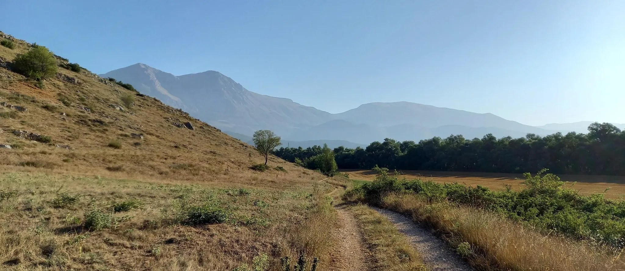
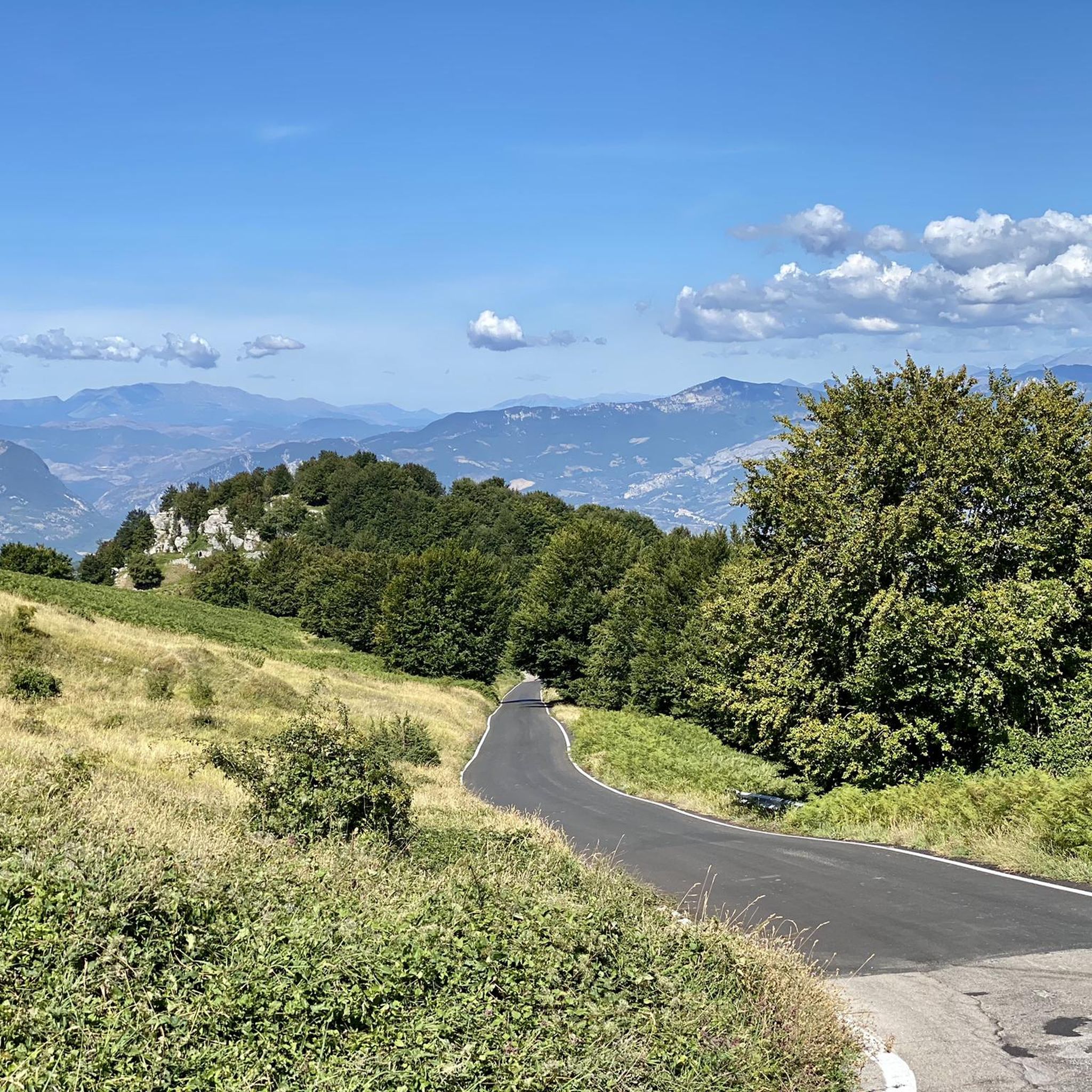
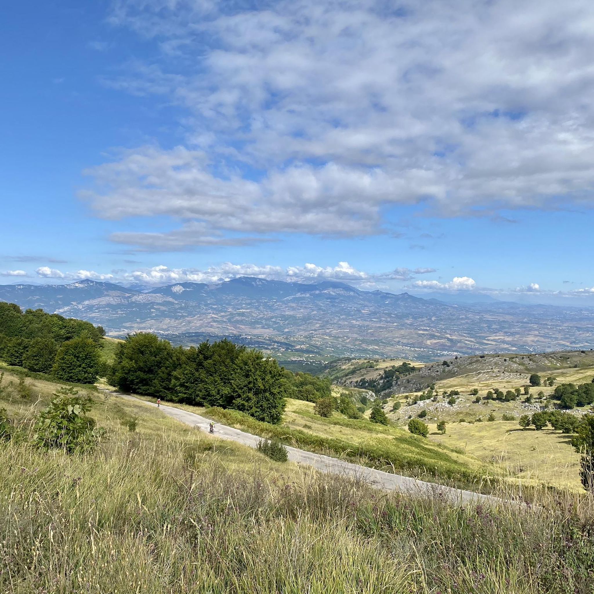
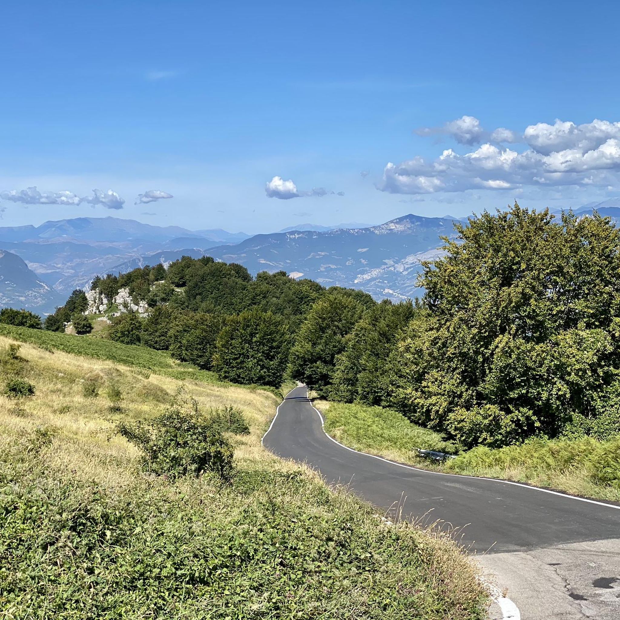
Jogging routes around Pretoro are set within the Maiella National Park, offering diverse terrain for runners. The region is characterized by steep hillsides, dense beech forests, and towering limestone peaks. Its unique topography provides varied running experiences, from paths within the historic village to trails leading into the expansive natural park. Pretoro's elevation of 602 meters above sea level contributes to more demanding climbs and scenic vistas.
Best jogging routes around Pretoro
- The most popular jogging route is Piana delle…
Last updated: August 10, 2026
4.51km
00:43
260m
260m
Moderate run. Good fitness required. Mostly accessible paths. Some sure footedness required.
8.05km
00:59
260m
260m
Moderate run. Good fitness required. Mostly paved surfaces. Suitable for all skill levels.

Sign up for free
11
runners
18.8km
03:08
1,180m
1,180m
Hard run. Very good fitness required. Sure-footedness, sturdy shoes and alpine experience required.
9
runners
15.3km
02:28
820m
820m
Hard run. Very good fitness required. Sure-footedness, sturdy shoes and alpine experience required.
4.0
(1)
6
runners
9.26km
01:06
310m
320m
Hard run. Very good fitness required. Mostly paved surfaces. Suitable for all skill levels.
Get access to more routes and recommendations from other explorers.
Sign up for free
Already have an account?
Our route recommendations are based on thousands of hikes, rides, and runs completed by other people on komoot.
Start today with a free account
Your next adventure awaits.
Login or Signup
Other adventures around Pretoro

Tips from the Community


The tower overlooks the valley through which the Alento River flows. Half intact (and the other half collapsed), it's certainly a landmark for a beautiful hike and a view that sweeps across these lands.
0
0


the place is magnificent and if you remain silent, you can hear the river flowing through the valley.
0
0

the Pomilio refuge, in addition to being a good restaurant, is also the start of the blockhaus and the path to reach the top of Mount Amaro
0
0

This place is very fascinating. The circular tower, of evident Lombard origin, stands alone overlooking the Alento valley. From here, in fact, you have a spectacular view of the surrounding landscape. It can be reached either from the Abbey of San Liberato, through the Alento gorges (shorter route), or from the state road to Pretoro (longer route).
2
0
The abbey is located in an extremely suggestive place. It is immersed in the greenery of the woods on the slopes of the Majella massif. The structure is impressive and it is worth entering to admire the interior. In addition to being a beautiful example of Romanesque architecture, it is also a perfect starting point for exploring the surrounding woods. In fact, it has a large parking area.
4
0
Frequently Asked Questions
How many running routes are available around Pretoro?
Pretoro offers a wide variety of running experiences, with over 40 routes documented on komoot. These range from easy paths to more challenging climbs within the Maiella National Park.
Are there easy jogging routes suitable for beginners or families in Pretoro?
Yes, while many routes in Pretoro feature challenging terrain due to its mountainous setting, there are options for easier runs. The Piana delle Mele - Valle delle Monache Loop is a moderate 2.8-mile route with mostly paved surfaces, making it suitable for various fitness levels and possibly families. The region has 1 easy route and 11 moderate routes.
What kind of natural features or landmarks can I expect to see on the running trails?
Jogging around Pretoro offers stunning natural beauty. You can expect panoramic mountain views, dense beech forests, and dramatic limestone peaks within the Maiella National Park. Some routes, like the Path of Peace - Stage 11, even feature waterfalls and historic abbeys. The area is also home to highlights such as the Alento River Waterfalls and the San Giovanni Waterfall.
Are there any circular running routes in Pretoro?
Yes, many of the running paths around Pretoro are designed as loops. For example, the Piana delle Mele - Valle delle Monache Loop is a popular circular option. Another notable circular route is the Running loop from Pretoro, which is a longer, more challenging 9.5-mile trail.
Can I bring my dog on the running trails in Pretoro?
Maiella National Park, which surrounds Pretoro, generally allows dogs on trails, often on a leash. However, specific regulations can vary, especially in protected areas or during certain seasons. It's always best to check local park rules or signage before heading out with your dog.
What is the best time of year for running in Pretoro?
Pretoro, situated at 602 meters above sea level, offers cooler temperatures than lower altitudes. Spring and autumn are generally ideal for running, with pleasant weather and vibrant natural scenery. Summer can also be good, especially in the mornings or late afternoons, to avoid the warmest part of the day. Winter running is possible but may require appropriate gear due to snow and colder conditions, especially at higher elevations.
Are there challenging running routes for experienced runners?
Absolutely. Pretoro's location within the Maiella National Park means there are plenty of demanding routes. The region features 30 difficult routes, characterized by steep hillsides and significant elevation gains. The Running loop from Pretoro, for instance, is a difficult 9.5-mile trail with over 800 meters of elevation gain, perfect for those seeking a vigorous workout.
What do other runners enjoy most about the trails in Pretoro?
The running routes in Pretoro are highly rated by the komoot community, with an average score of 4.0 stars from more than 4 reviews. Runners often praise the diverse terrain, the stunning mountain views, and the immersive experience within the pristine Maiella National Park. The combination of historic village charm and rugged natural beauty is frequently highlighted.
Are there running opportunities within Pretoro village itself?
Yes, Pretoro village, built into a steep mountainside, offers a unique urban jogging experience. Its compact stone houses, winding alleys, and stairways provide a stimulating run with unexpected glimpses of forested slopes and rustic charm. It's a great way to explore the historic center while getting a workout.
Can I find forest trails for running in Pretoro?
Definitely. Pretoro is a gateway to the Maiella National Park, which boasts extensive forest trails. The Valle del Foro Nature Reserve, within Pretoro's territory, features a vast tall beech forest with rich flora, offering an ideal environment for trail running and deep immersion in nature. Many guided nature tours also lead into these forest trails.
Is public transport available to reach the running trails around Pretoro?
While Pretoro is a village nestled in the mountains, public transport options might be limited, especially for direct access to specific trailheads within the Maiella National Park. It's advisable to check local bus schedules or consider driving to trail starting points, as many routes are more easily accessed by car.
Are there running routes that offer views of the Adriatic Sea?
Yes, from Pretoro and its surrounding trails, you can experience majestic panoramic views. On clear days, it is sometimes possible to catch a glimpse of the Adriatic Sea in the distance, adding another layer of scenic beauty to your run.
Most popular attractions around Pretoro

Get inspired with the komoot mobile app


Explore more
Browse the best Running Trails & Routes in other regions.
