The best walks and hikes around Rastenfeld
4.6
(1022)
4,770
hikers
60
hikes
Hiking around Rastenfeld offers diverse landscapes within the Waldviertel region of Lower Austria. The area is characterized by the Ottenstein Reservoir, known for its fjord-like, branching arms and extensively wooded shores. The surrounding terrain features rolling hills, dense forests, and granite rock formations, providing varied natural environments for exploration. This combination of water features, woodlands, and geological elements defines the hiking experience in Rastenfeld.
Best hiking trails around Rastenfeld
- The most popular hiking route is Nature, Energy, Kraft Trail,…
Last updated: July 17, 2026
4.7
(34)
134
hikers
13.4km
03:34
150m
150m
Moderate hike. Good fitness required. Easily-accessible paths. Suitable for all skill levels.
4.7
(3)
7
hikers
23.6km
06:27
360m
350m
Hard hike. Very good fitness required. Easily-accessible paths. Suitable for all skill levels.

Sign up for free
4.8
(72)
309
hikers
16.6km
04:45
350m
350m
Moderate hike. Good fitness required. Easily-accessible paths. Suitable for all skill levels.
4.5
(27)
170
hikers
5.56km
01:35
120m
120m
Easy hike. Great for any fitness level. Easily-accessible paths. Suitable for all skill levels.
4.8
(28)
163
hikers
13.4km
03:36
160m
160m
Moderate hike. Good fitness required. Easily-accessible paths. Suitable for all skill levels.
Get access to more routes and recommendations from other explorers.
Sign up for free
Already have an account?
Our route recommendations are based on thousands of hikes, rides, and runs completed by other people on komoot.
Start today with a free account
Your next adventure awaits.
Login or Signup
Popular around Rastenfeld
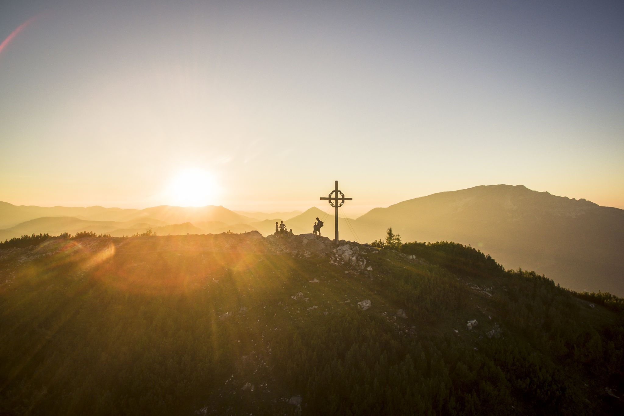
Hiking with a view – certified hiking villages in Lower Austria
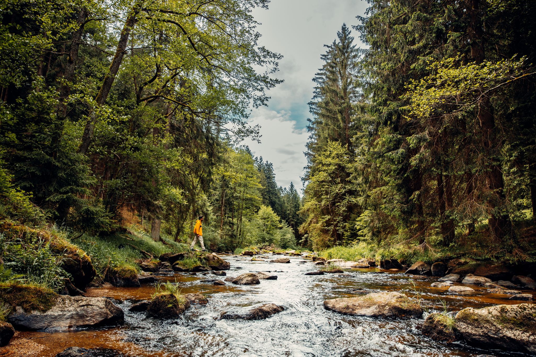
Cliffs, a gorge and vineyards – day hikes in the Waldviertel
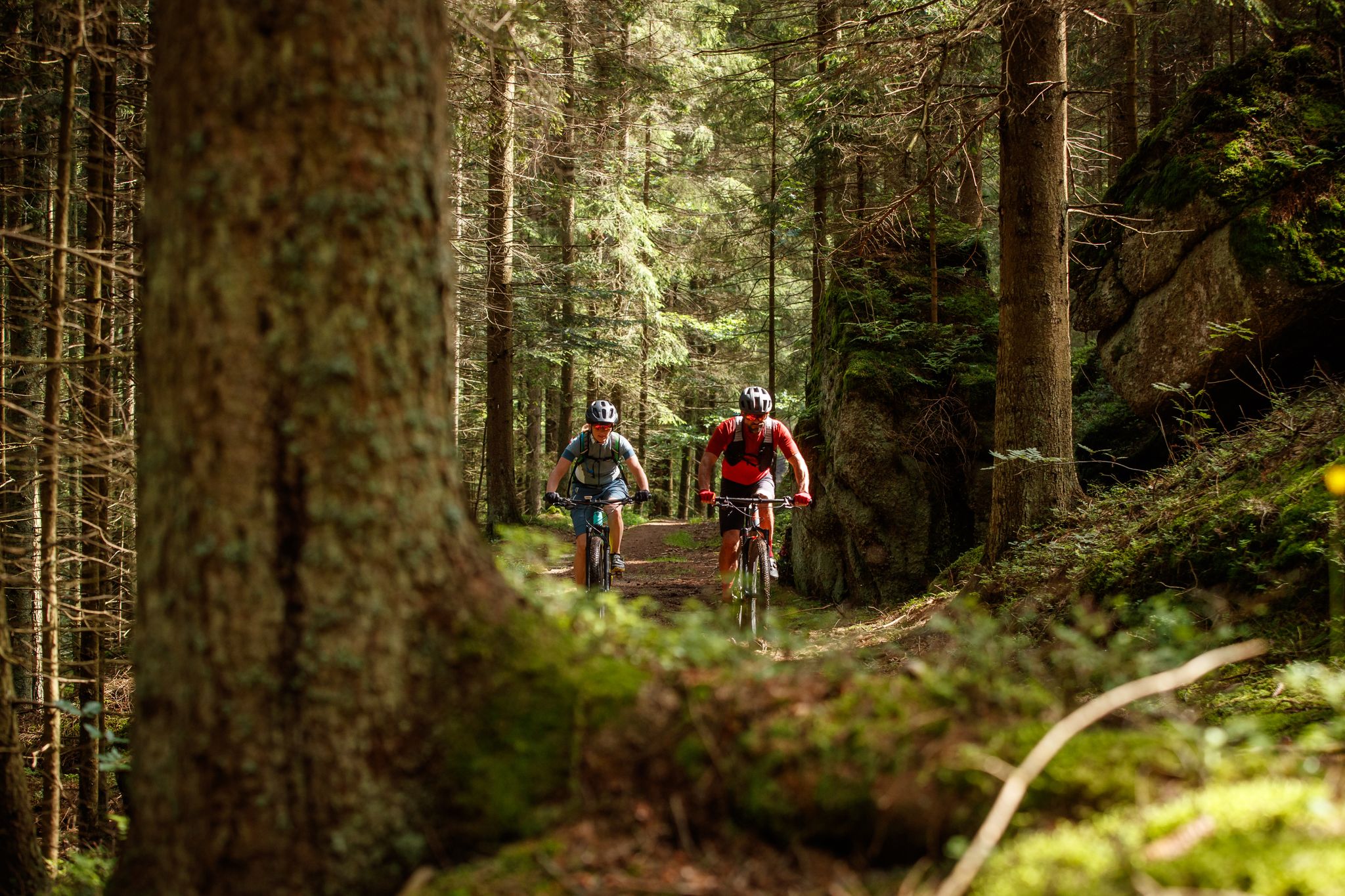
Between bizarre rocks and pristine forests – MTB in the Waldviertel
Cycling around Rastenfeld
MTB Trails around Rastenfeld
Road Cycling Routes around Rastenfeld
Running Trails around Rastenfeld

Gravel biking around Rastenfeld
Other adventures around Rastenfeld


Tips from the Community

From the 15th century onwards, Lichtenfels changed hands frequently until the castle came to Rastenberg in 1628. As the new owners moved their seat of power to Rastenberg, the slow decay of Lichtenfels began in 1774. In 1790, the Freiherrn von Bartenstein, who owned Rastenberg and Lichtenfels, sold the majority of the castle's roof to Stift Zwettl. The reason for this was the roof tax introduced by Emperor Joseph II, which was calculated based on the size of the roof areas. Numerous noble families throughout the country had their cold and uninhabitable castles de-roofed at that time to save taxes. In 1804, the last inhabitant left Lichtenfels castle, which has been owned by the Thurn-Valsassina family together with Rastenberg since 1872. The Romanesque chapel, formerly dedicated to the Apostle Paul, was a destination for small pilgrimages for a long time; the last one took place in 1960 from Friedersbach. Lichtenfels castle ruins can be visited all year round (at your own risk).
0
0
From the 15th century onwards, Lichtenfels frequently changed owners until the castle came into the possession of Rastenberg in 1628. As the new owners relocated their seat of power to Rastenberg, the slow decay of Lichtenfels began in 1774. In 1790, the barons von Bartenstein, who owned Rastenberg and Lichtenfels, sold the majority of the castle's roof to the Zwettl Abbey. The reason for this was the roof tax introduced by Emperor Joseph II, which was calculated based on the size of the roof areas. Numerous noble families throughout the country had their cold and uninhabitable castles stripped of their roofs at that time to save taxes. In 1804, the last inhabitant left Lichtenfels Castle, which, together with Rastenberg, has been owned by the Thurn-Valsassina family since 1872. The Romanesque chapel, formerly dedicated to the Apostle Paul, was a destination for small pilgrimages for a long time, the last of which took place in 1960 from Friedersbach. Lichtenfels Castle ruins can be visited all year round (at your own risk).
0
0
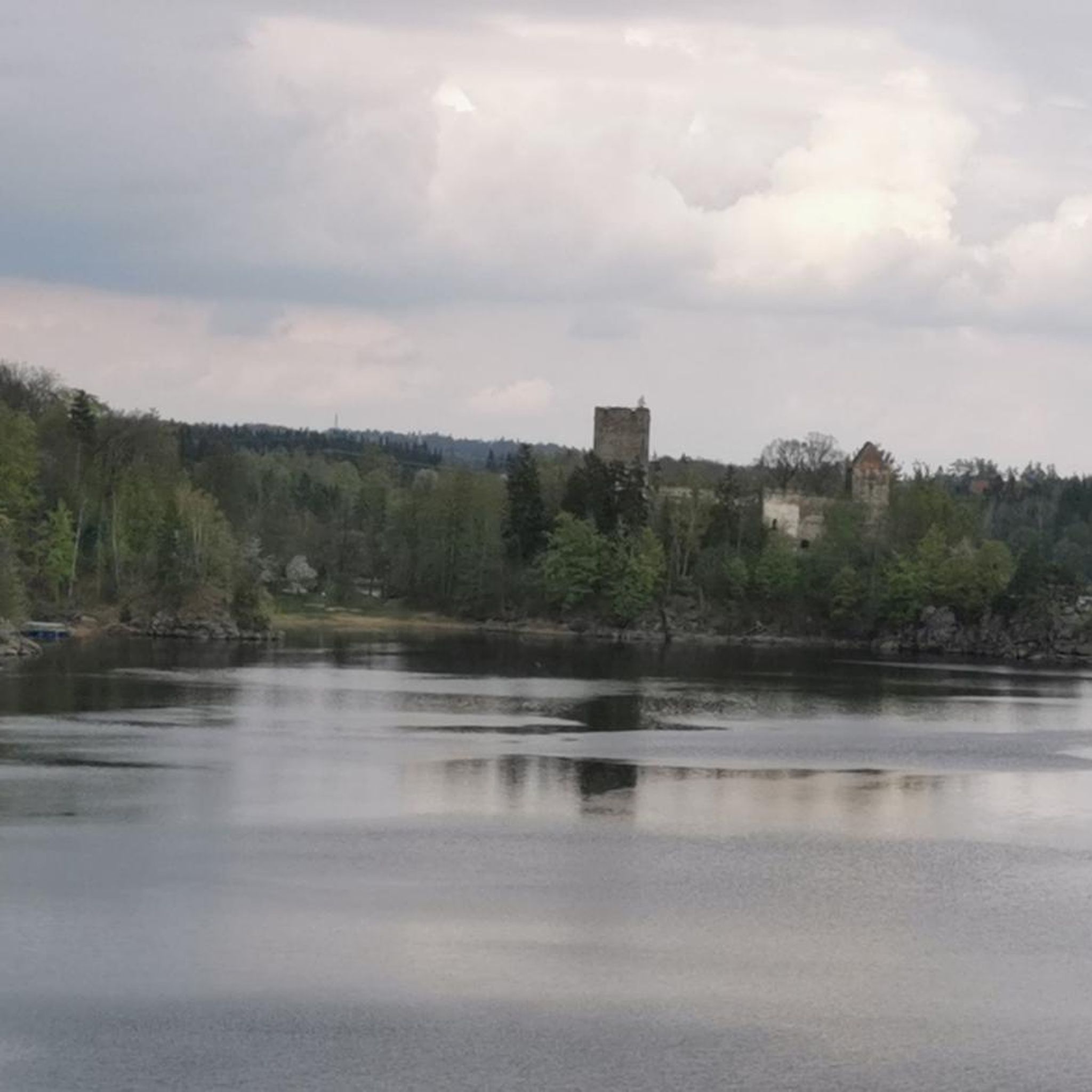
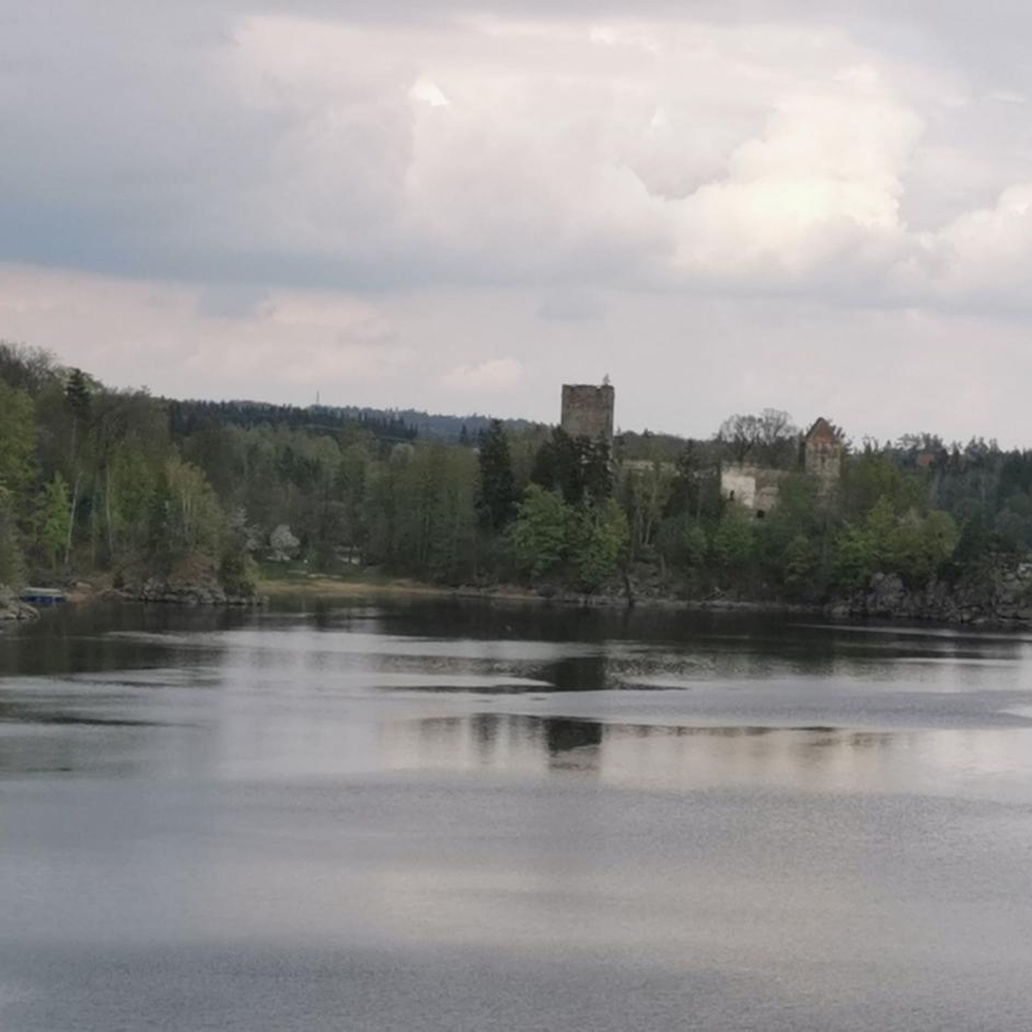
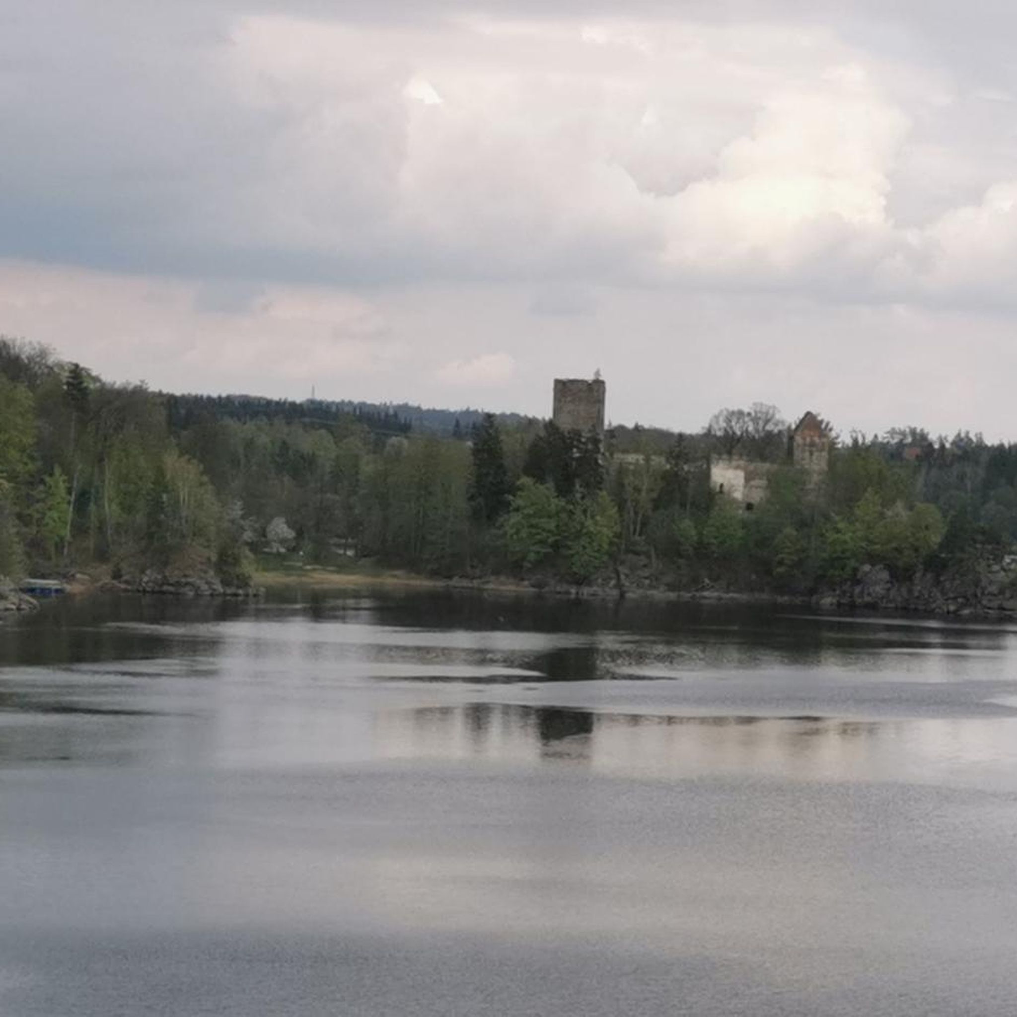
On a peninsula in the Ottenstein reservoir, the Lichtenfels castle ruins rise picturesquely. Before the creation of the reservoir (1954-1957) and the construction of the federal road B38 with the bridge completed in 1957, the Lichtenfels castle, first mentioned in 1248, stood lonely on a rocky ridge high above the Kamp river. In the 13th century, an important ministerial family resided here, initially bearing the nickname „Tursen“, deriving from Rauheneck castle near Baden, and towards the end of this century took the name „Lichtenfels“. Under their rule were numerous surrounding places, such as Friedersbach, for example. During the Hussite invasions of 1427/28, Lichtenfels served as a storage place for the archives and treasures of the Zwettl Abbey.
0
0
The Lichtenfels castle ruins rise picturesquely on a peninsula in the Ottenstein reservoir. Before the construction of the reservoir (1954-1957) and the erection of the federal road B38 with the bridge completed in 1957, the Lichtenfels castle, first mentioned in 1248, lay lonely on a rocky ridge high above the Kamp. In the 13th century, an important ministerial family resided here, initially bearing the nickname "Tursen", deriving from Rauheneck Castle near Baden, and towards the end of this century bearing the name "Lichtenfels". Numerous surrounding villages were under their dominion, including Friedersbach, for example. During the Hussite invasions of 1427/28, Lichtenfels served as a storage place for the archives and treasures of the Zwettl Abbey.
0
0

No Merlot here — the shelf stands empty, quiet, waiting for a bottle that never comes. Kein Merlot hier — das Regal bleibt leer, still, wartend auf eine Flasche, die nie kommt. Pas de Merlot ici — l'étagère reste vide, silencieuse, attendant une bouteille qui n'arrive jamais. No hay Merlot aquí — el estante queda vacío, silencioso, esperando una botella que nunca llega.
0
0

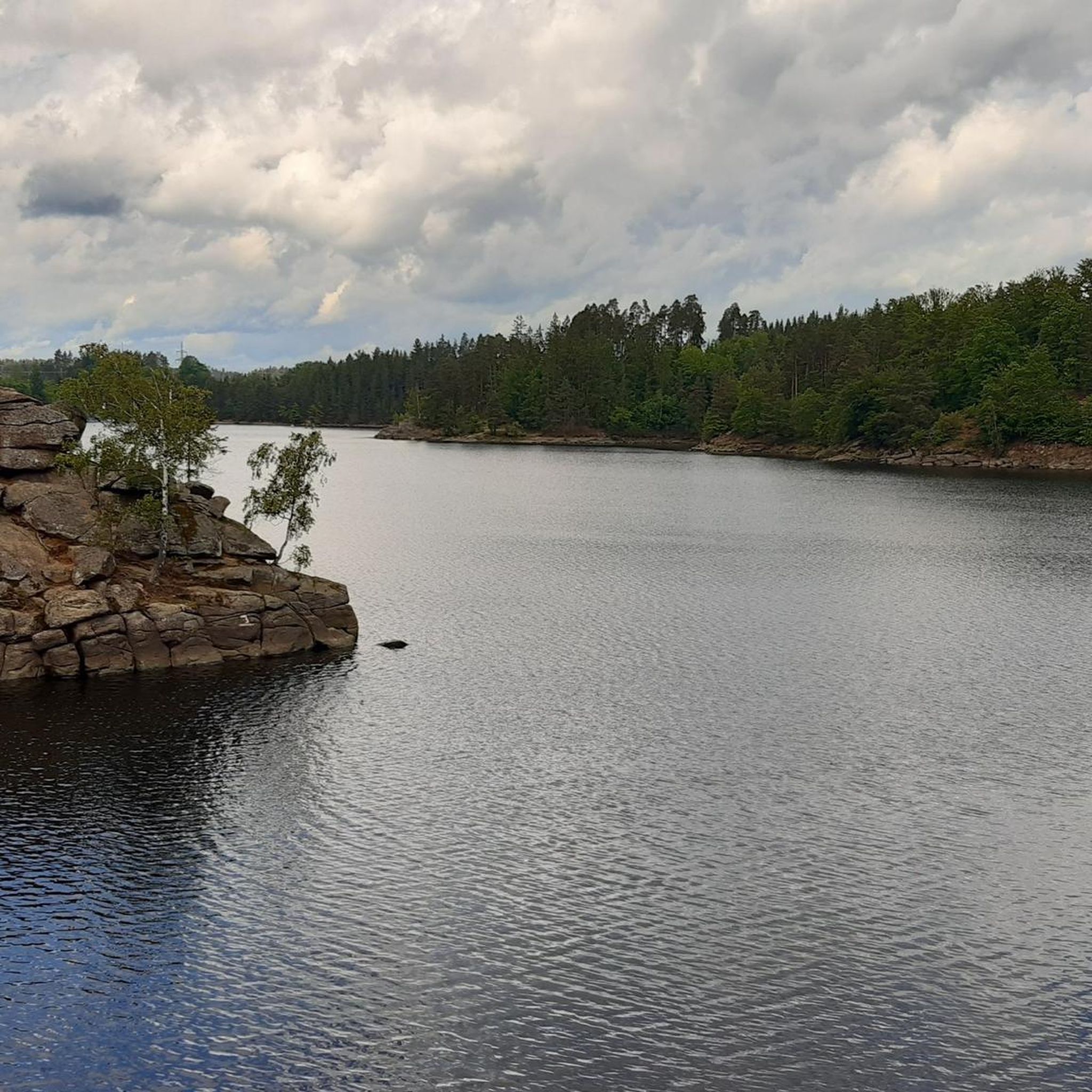
The Ottenstein reservoir, is the largest of the Kamp lakes and is among the richest waters in fish in Austria and at the same time among the best predatory fish waters in Europe. Its water surface is 4.3 km² and extends with its fjord-like, branched side arms, with a length of more than 14 km, up to Zwettl. The deepest point is 69 m.
1
0
The Zwettl City Museum is a modern museum designed to appeal to both children and adults! We don't just want to preserve history, but to present it in an engaging, memorable, informative, and interesting way. Therefore, this museum is designed according to the latest museum education principles. All activities are geared towards achieving this goal. The museum features a model of the city where visitors can modify all the elements—houses, city walls, and bridges. With the help of instructions, the city's development from its founding in the 12th century to the 20th century can be traced. In addition to the most important documents of the city of Zwettl, the collection includes numerous weapons, among them original "Kuenringer weapons" from the 13th century, which were discovered during excavations in Zwettl.
0
0
The City Museum – Enriched with Many Attractions On Saturday, June 21, 2003, the Zwettl City Museum, redesigned as part of the "Urban Renewal in Lower Austria" initiative, celebrated its reopening. During the interior renovation, new spaces for the City Museum were created in the attic. Part of these rooms is dedicated to the theme of "Collecting" and houses the exhibits of the "Anton Collection" in a permanent display. Among the exhibited objects are numerous unique pieces and outstanding works of art, such as a Romanesque Madonna and precious glass rarities from the Baroque period. In addition to the exhibition spaces for the "Anton Collection," a generously sized room was also created for special exhibitions. The old wooden framework of the roof truss remains almost entirely visible and contributes significantly to the ambiance of the newly created exhibition spaces.
0
0
Frequently Asked Questions
How many hiking trails are available around Rastenfeld?
Rastenfeld offers a wide selection of hiking routes, with over 50 trails available. These range from easy strolls to more challenging excursions, ensuring options for various skill levels.
What kind of terrain can I expect on hikes in Rastenfeld?
The hiking trails in Rastenfeld feature diverse terrain, reflecting the mystical landscapes of the Waldviertel region. You'll encounter natural paths, gravel sections, unpaved trails, and some asphalt. The area is characterized by rolling hills, dense forests, and unique rock formations, especially around the fjord-like Ottenstein Reservoir.
What do other hikers say about the trails in Rastenfeld?
The hiking routes in Rastenfeld are highly regarded by the komoot community, holding an impressive average rating of 4.4 stars from over 400 reviews. Hikers frequently praise the stunning views of the Ottenstein Reservoir, the tranquility of the woodlands, and the well-maintained paths that lead to historical landmarks.
Are there any family-friendly hiking options in Rastenfeld?
Yes, Rastenfeld offers several easy walks suitable for families. For instance, the Ottenstein Castle – View of Lichtenfels Castle loop from Rastenfeld is an easy 3.5-mile (5.6 km) trail that takes about 1 hour 35 minutes, leading through wooded areas with scenic views of the castles. Many trails along the reservoir also offer gentle gradients perfect for a family outing.
Can I bring my dog on the hiking trails around Rastenfeld?
Generally, dogs are welcome on hiking trails in Rastenfeld and the broader Waldviertel region. It's always recommended to keep your dog on a leash, especially in nature protection areas or near wildlife, and to carry waste bags. Always ensure your dog has access to water, particularly on longer routes.
Are there circular hiking routes in Rastenfeld?
Yes, many of the most popular hikes in Rastenfeld are circular routes, allowing you to start and end at the same point. Examples include the moderate Ottenstein reservoir – Lichtenfels Castle Ruins loop from Rastenfeld and the easy Ottenstein Castle – View of Lichtenfels Castle loop from Rastenfeld. These loops are ideal for exploring the diverse landscapes without retracing your steps.
What historical landmarks can I see while hiking in Rastenfeld?
Rastenfeld's hiking trails often integrate historical sites. You can explore the impressive Ottenstein Castle, a 12th-century site on the northern shore of the reservoir, or the picturesque Lichtenfels Castle Ruins, perched on a peninsula. Other nearby castles like Schloss Waldreichs also add cultural interest to the region's trails.
Are there any natural attractions or unique rock formations to discover?
Absolutely. The Waldviertel region is known for its mystical landscapes and unusual rock formations. Around Rastenfeld, you can find natural monuments such as the Gudenus Cave, the Steinerner Saal Rock Shelter, and the impressive Riesenstein Rock in the Kamp River. These geological features add a unique element to the hiking experience.
What is the best time of year to go hiking in Rastenfeld?
Rastenfeld offers beautiful hiking experiences throughout the year. Spring and summer are ideal for lush greenery and water activities on the reservoir. Autumn brings stunning deciduous colors, especially around the reservoir, making it a particularly scenic time. Even late autumn to winter can be rewarding, with clear views and the possibility of visiting the Advent market at Ottenstein Castle in December.
Can I combine hiking with water activities at the Ottenstein Reservoir?
Yes, the Ottenstein Reservoir is perfect for combining hiking with water-based activities. Its fjord-like arms and small sandy bays (visible at low water levels) offer opportunities for relaxation and swimming. You can also enjoy sailing and windsurfing on the reservoir, making it a versatile destination for outdoor enthusiasts.
Are there any long-distance hiking trails that pass through Rastenfeld?
Yes, for those seeking a longer adventure, the Kamptal Seenweg (Lakes Trail) 620 passes through the area. A challenging section of this trail, from Ottenstein to Zwettl, covers over 14.6 miles (23.5 km) and offers extensive exploration of the region's lakes and forests.
Where can I find parking for hiking trails in Rastenfeld?
While specific parking details vary by trailhead, many popular starting points for hikes around Rastenfeld, especially near the Ottenstein Reservoir and major attractions like Ottenstein Castle, offer designated parking areas. It's advisable to check local signage upon arrival or consult detailed route descriptions for specific parking recommendations.
Most popular routes around Rastenfeld
Most popular attractions around Rastenfeld

Get inspired with the komoot mobile app


Explore more
Browse the best Hikes in other regions.
