The best road cycling routes around Civitaluparella
4.0
(2)
178
riders
20
rides
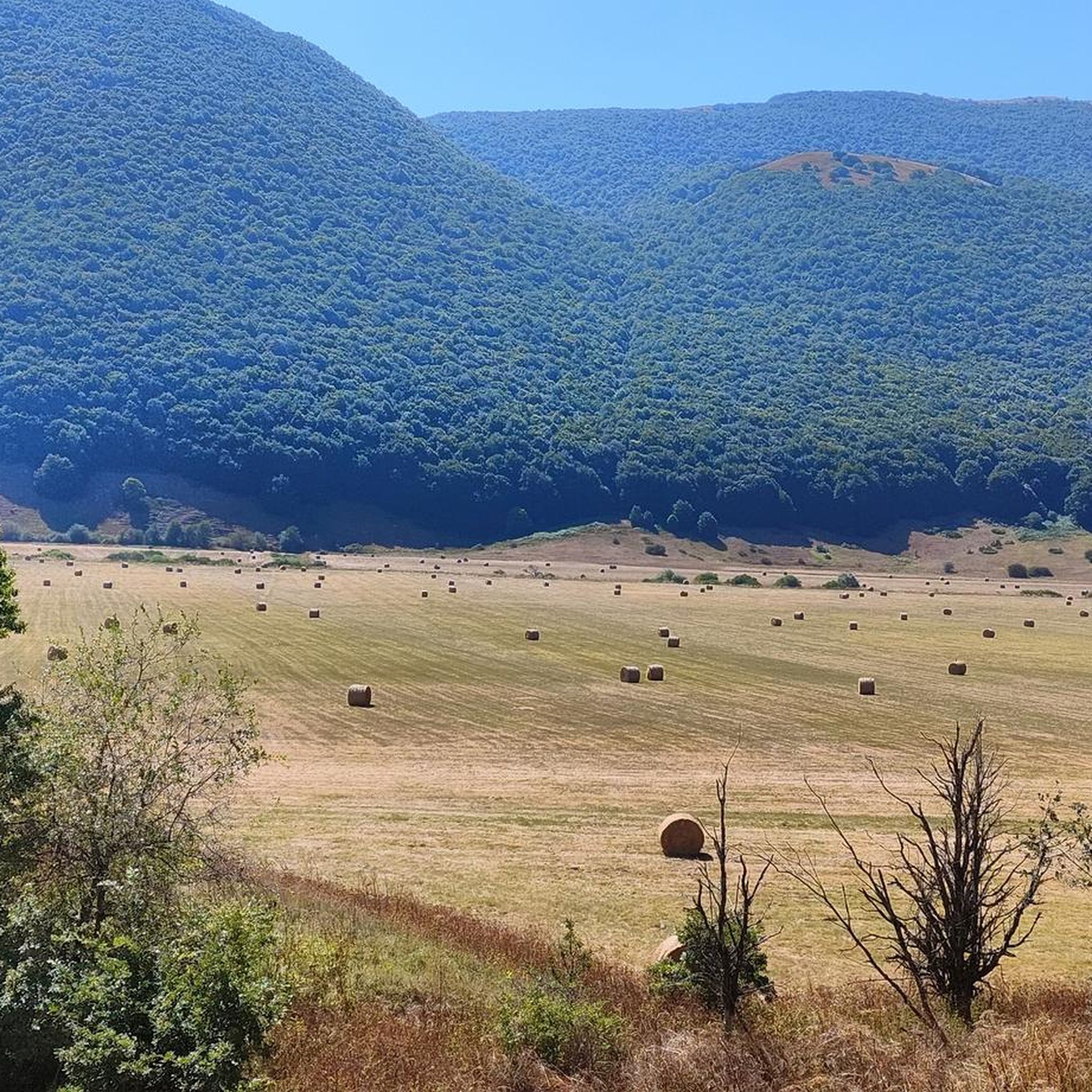
Road cycling routes around Civitaluparella are characterized by the mountainous terrain of the Abruzzo region, featuring significant elevation changes and winding roads. The landscape includes high plateaus, deep valleys, and forested areas, providing challenging climbs and descents. This area is defined by its rugged natural beauty, offering extensive road cycling opportunities through a diverse environment.
Best road cycling routes around Civitaluparella
- The most popular road cycling route is Quarto Grande Plateau – Bar Stazione di Palena loop from Civitaluparella,…
Last updated: October 8, 2026
21
riders
83.7km
04:36
1,730m
1,730m
Hard road ride. Very good fitness required. Mostly well-paved surfaces and easy to ride.
4.0
(2)
23
riders
77.4km
03:59
1,220m
1,220m
Hard road ride. Very good fitness required. Some segments of this route may be unpaved and difficult to ride.

16
riders
82.3km
04:34
1,050m
1,050m
Hard road ride. Very good fitness required. Some segments of this route may be unpaved and difficult to ride.
11
riders
48.8km
02:38
990m
990m
Hard road ride. Very good fitness required. Mostly well-paved surfaces and easy to ride.
9
riders
109km
06:00
2,310m
2,310m
Hard road ride. Very good fitness required. Mostly well-paved surfaces and easy to ride.
Get access to more routes and recommendations from other explorers.
Already have an account?
Our route recommendations are based on thousands of hikes, rides, and runs completed by other people on komoot.
Start today with a free account
Your next adventure awaits.


Tips from the Community

The Guado Liscia refuge is nestled in the woods of Alto Molise, on the pass connecting Agnone and Capracotta, practically on the border with Abruzzo. It's a popular stopping point for hikers, motorcyclists, and cyclists, offering traditional cuisine, a simple yet welcoming atmosphere, and good reviews for the quality of the food. It's open year-round, and in winter, it becomes a strategic shelter along the area's often snow-covered roads, offering refreshment amidst unspoiled nature and mountain views.
0
0

The sanctuary of the Madonna in Saletta is a religious building located in the middle of a pine and fir forest, three kilometers away from the center of the municipality of Castel del Giudice, in the province of Isernia
1
0

100 meters before the hill there is the station bar, an excellent refreshment point for sandwiches and trattoria
1
0

spectacular places, lots of wind.
0
0

The Sangro river originates from Mount Turchio at 1,400 meters and flows into the Adriatic Sea. It is 122 kilometers long and has become quite famous in the world of sport fishing.
2
0

Pescopennataro is a village in upper Molise perched on a beautiful rocky ridge. The town offers enchanting views of the surrounding valleys. You can also enjoy a nature walk in the Pinocchio Park.
0
0

Passo Forchetta, connecting Roccaraso to Campo di Giove, offers a journey through a fresh and lush forest. The road, although the asphalt is not in perfect condition and subject to small landslides, offers a picturesque and fascinating driving experience.
1
0

You can get here by train with your bike and go for a ride.
8
0
Frequently Asked Questions
What is the general difficulty level of road cycling routes around Civitaluparella?
Road cycling around Civitaluparella is characterized by challenging climbs, high plateaus, and winding mountain roads. The network primarily offers options for experienced road cyclists, with a few moderate routes available. There are currently no easy routes listed.
Are there any longer road cycling routes for experienced riders in the Civitaluparella area?
Yes, for experienced riders seeking longer distances, options include the Sanctuary of Madonna in Saletta loop from Civitaluparella, which covers 53.0 miles (85.2 km) with sustained climbs. Another challenging long route is the Hermitage of San Luca – Capracotta loop from Colledimezzo, spanning 77.0 km with significant elevation gain.
What kind of scenery can I expect while road cycling near Civitaluparella?
The region offers rugged natural beauty, with routes traversing high plateaus, deep valleys, and forested areas. You'll encounter significant elevation changes and winding roads, providing panoramic views of the mountainous Abruzzo landscape.
Are there any circular road cycling routes available?
Many of the road cycling routes around Civitaluparella are designed as loops. Examples include the popular Quarto Grande Plateau – Bar Stazione di Palena loop from Civitaluparella and the Capracotta – View of Monte Cavallerizzo loop from Pescopennataro, both offering extensive circular tours.
What do other road cyclists say about the routes in Civitaluparella?
The routes in Civitaluparella are highly rated by the komoot community, with an average score of 5.0 stars. Over 100 road cyclists have used komoot to explore the varied and challenging terrain, often praising the scenic views and demanding climbs.
Can I find any scenic viewpoints along the road cycling routes?
Absolutely. The mountainous terrain naturally offers numerous scenic vistas. For example, the Scenic Viewpoint – Pietraferrazzana Rock Spur loop from Borrello is specifically named for its views. You can also find highlights like the View of the Pescopennataro Crags and the View of the Cascate del Verde near some routes.
Are there any natural attractions or landmarks to explore near the cycling routes?
Yes, the area boasts several natural and historical attractions. You might encounter the Waterfall in Gola di Pennadomo or the Cervi Wildlife Area – Monte Secine. For historical interest, the Iuvanum Archaeological Park is also nearby.
What is the best time of year for road cycling in Civitaluparella?
Given the mountainous characteristics of the Abruzzo region, late spring through early autumn (May to October) generally offers the most favorable conditions for road cycling, with milder temperatures and less chance of snow or ice at higher elevations. Summers can be warm, but the altitude often provides relief.
Are there any cultural or historical sites accessible from the road cycling routes?
Beyond natural beauty, the region offers historical points of interest. The Castello di Roccascalegna and the Church of Saint Peter are notable landmarks that could be explored in conjunction with your cycling adventures.
How many road cycling routes are available in the Civitaluparella area?
There are 17 road cycling routes available around Civitaluparella, offering a variety of challenging experiences through the Abruzzo landscape.
Are there any moderate road cycling routes for those not seeking extreme challenges?
While most routes are difficult, there are two moderate road cycling routes available in the Civitaluparella area. These offer a less intense experience while still allowing you to enjoy the region's scenery.
Most popular attractions around Civitaluparella

Get inspired with the komoot mobile app


Explore more
Browse the best Road cycling routes in other regions.
