The best MTB trails around Civitaluparella
4.7
(7)
59
riders
9
rides
Mountain biking around Civitaluparella offers a variety of routes through hilly terrain and natural landscapes. The region features elevations, valleys, and views of local landmarks, providing diverse settings for mountain bike trails. With 8 routes available, including easy, moderate, and difficult options, mountain bikers can find paths suited to their skill levels.
Best mountain bike trails around Civitaluparella
- The most popular mountain bike trail is Monument to Silvio Spaventa – Megalithic Walls loop from Bomba, a 31.0 miles (49.9…
Last updated: May 8, 2026
7
riders
48.7km
03:37
990m
990m
Hard mountain bike ride. Very good fitness required. Suitable for all skill levels.
4
riders
19.0km
01:55
620m
620m
Moderate mountain bike ride. Good fitness required. Suitable for all skill levels.

Sign up for free
6
riders
38.6km
04:10
1,380m
1,380m
Hard mountain bike ride. Very good fitness required. Advanced riding skills necessary.
3
riders
15.6km
01:21
340m
350m
Moderate mountain bike ride. Good fitness required. Advanced riding skills necessary.
3
riders
Moderate mountain bike ride. Good fitness required. Advanced riding skills necessary.
Get access to more routes and recommendations from other explorers.
Sign up for free
Already have an account?
Our route recommendations are based on thousands of hikes, rides, and runs completed by other people on komoot.
Start today with a free account
Your next adventure awaits.
Login or Signup

Tips from the Community

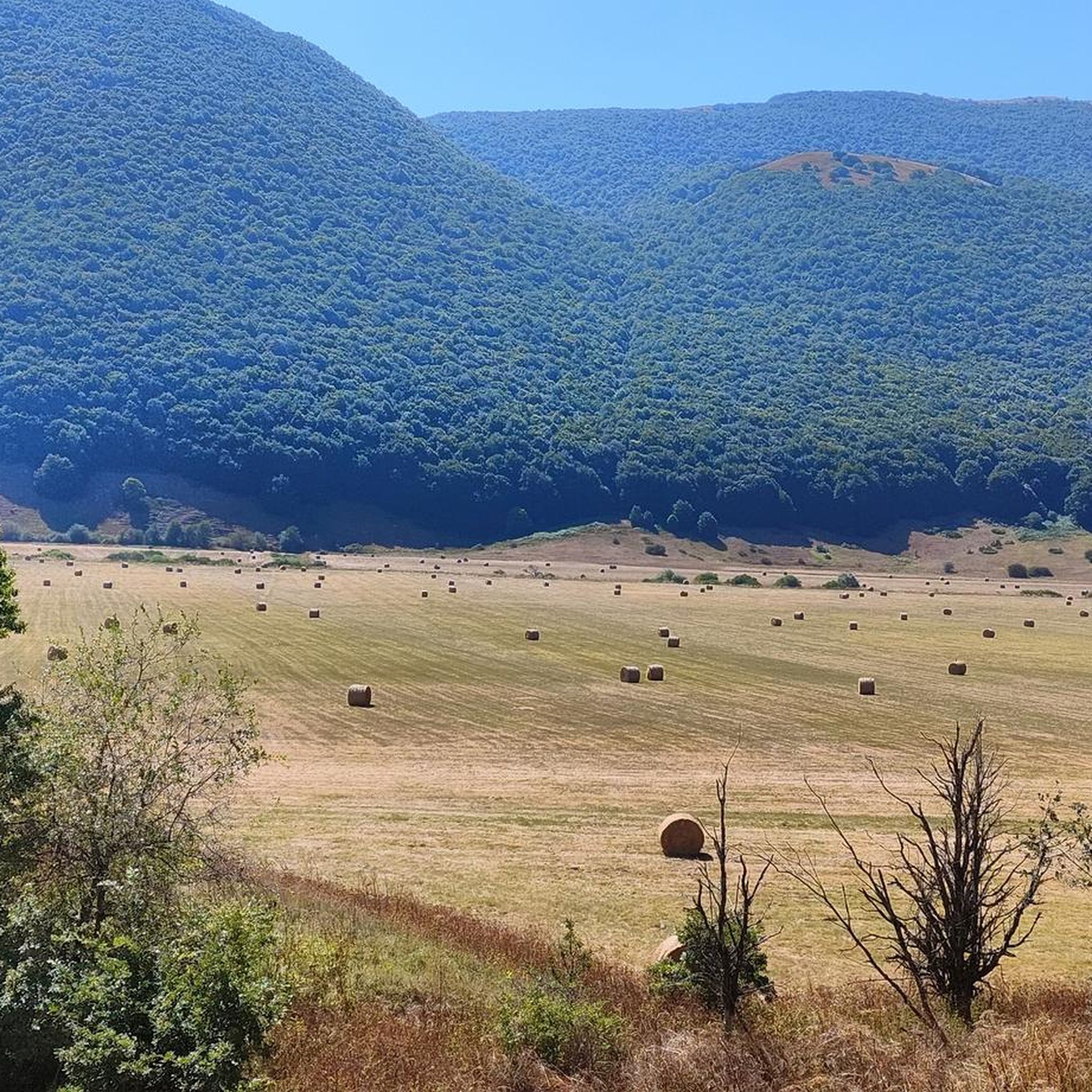
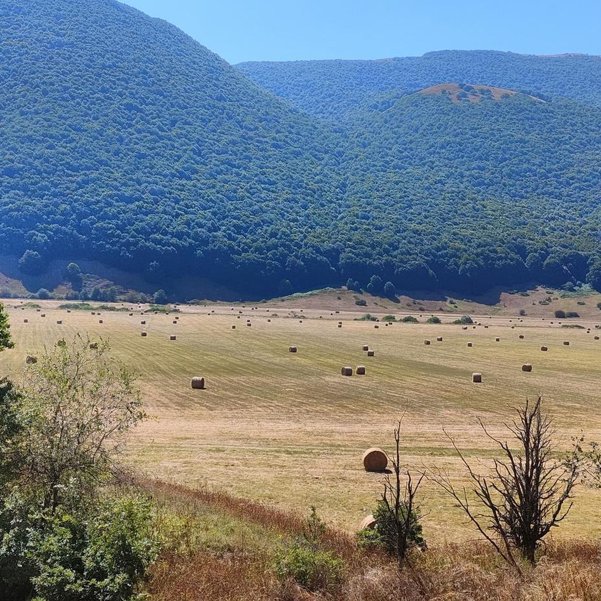
The Gamberale Viewpoint is a breathtaking natural terrace located at the highest point of the village, offering an extraordinary view spanning the Sangro Valley and the rugged peaks of the Majella and neighboring Molise. This panoramic vantage point, suspended between sky and rock, allows you to take in a vast horizon of dense forests and small hilltop villages, offering a sense of absolute peace and a privileged perspective on the wild heart of the Apennines.
0
0

The Deer Wildlife Area is a magical place in the Majella National Park. Despite its name, it's possible to spot deer, but it's a bit rare.
0
0

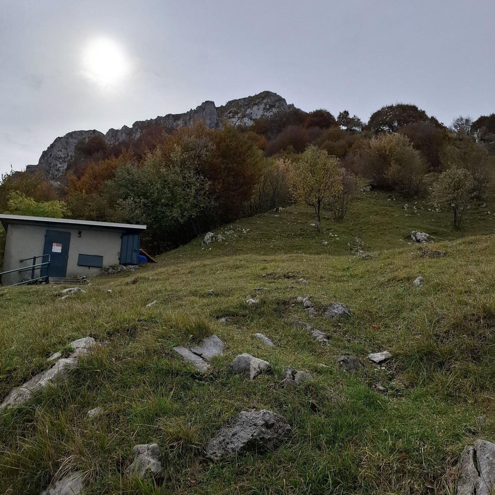
The fortress of Castelfraiano, which gives its name to Monte Castelfraiano, had the function of being a supervisory point for transhumance and regulating access from Monteferrante and the Val di Sangro.
1
0
Frequently Asked Questions
How many mountain bike trails are available around Civitaluparella?
There are 8 mountain bike trails around Civitaluparella, offering a variety of options for different skill levels. These routes traverse hilly terrain and natural landscapes, providing diverse settings for your rides.
Are there easy mountain bike trails suitable for beginners in Civitaluparella?
Yes, Civitaluparella offers easy trails perfect for beginners. For a gentle introduction to the area's terrain, consider the View of Gamberale loop from Gamberale. This route is 6.8 km long and typically takes about 43 minutes to complete.
What kind of challenging mountain bike trails can I find in Civitaluparella?
For experienced riders seeking a challenge, Civitaluparella has several difficult trails. The Monument to Silvio Spaventa – Megalithic Walls loop from Bomba is a demanding 49.9 km route with significant elevation changes, passing by historical megalithic walls. Another challenging option is the Prato Gentile Arch Bridge – Corso Capracotta loop from Roio del Sangro, which is 45.5 km long and features challenging terrain.
Are there any circular mountain bike routes in the area?
All 8 mountain bike routes around Civitaluparella are circular, allowing you to start and finish at the same point. This includes trails like the moderate Pizzoferrato Rock Formation – View of Gamberale loop from Gamberale, which is 15.6 km long.
What are some scenic viewpoints or natural attractions along the mountain bike trails?
Many trails offer scenic views and pass by natural attractions. You can find routes that provide views of the Pescopennataro Crags or the Cascate del Verde. The region's hilly terrain naturally provides numerous panoramic spots.
Are there any historical sites or landmarks to see while mountain biking?
Yes, some routes incorporate historical elements. For instance, the Monument to Silvio Spaventa – Megalithic Walls loop from Bomba passes by ancient megalithic walls. Other nearby attractions include the impressive Castello di Roccascalegna and the Church of Saint Peter.
What do other mountain bikers say about the trails in Civitaluparella?
The mountain bike trails in Civitaluparella are highly rated by the komoot community, with an average score of 4.3 stars from over 4 reviews. More than 40 mountain bikers have explored the varied terrain, often praising the scenic viewpoints and the diverse range of routes available for different skill levels.
When is the best time of year to go mountain biking in Civitaluparella?
The region's hilly terrain and natural landscapes are generally enjoyable for mountain biking from spring through autumn. During these seasons, the weather is typically mild, and the trails are in good condition. Winter riding may be possible but could involve colder temperatures and potentially more challenging trail conditions.
Are there any trails that pass by waterfalls?
Yes, the area around Civitaluparella features natural monuments including waterfalls. You can find the Waterfall in Gola di Pennadomo and the Cascate del Verde, which are accessible and can be incorporated into or viewed from various routes.
Are there any moderate difficulty mountain bike trails for intermediate riders?
Intermediate riders will find several moderate trails. The Stazzo Polledrara – View of Gamberale loop from Gamberale is a good option, covering 18.6 km and typically taking about 1 hour 54 minutes. Another moderate choice is the Pizzoferrato Rock Formation – View of Gamberale loop from Gamberale, which is 15.6 km long.
What should I wear for mountain biking in Civitaluparella?
Given the hilly terrain and varied landscapes, it's advisable to wear appropriate cycling gear, including a helmet, padded shorts, and layers of clothing that can be adjusted to changing weather conditions. Sturdy mountain biking shoes and gloves are also recommended for comfort and safety.
Are there any places to stop for refreshments or rest along the trails?
While specific cafes directly on every trail are not listed, the region has small towns and villages where you can find refreshments. The Prato Gentile Hut is also a point of interest that might offer facilities or a place to rest.
Most popular attractions around Civitaluparella

Get inspired with the komoot mobile app


Explore more
Browse the best MTB trails in other regions.
