The best walks and hikes around Ferrandina
4.4
(20)
71
hikers
13
hikes
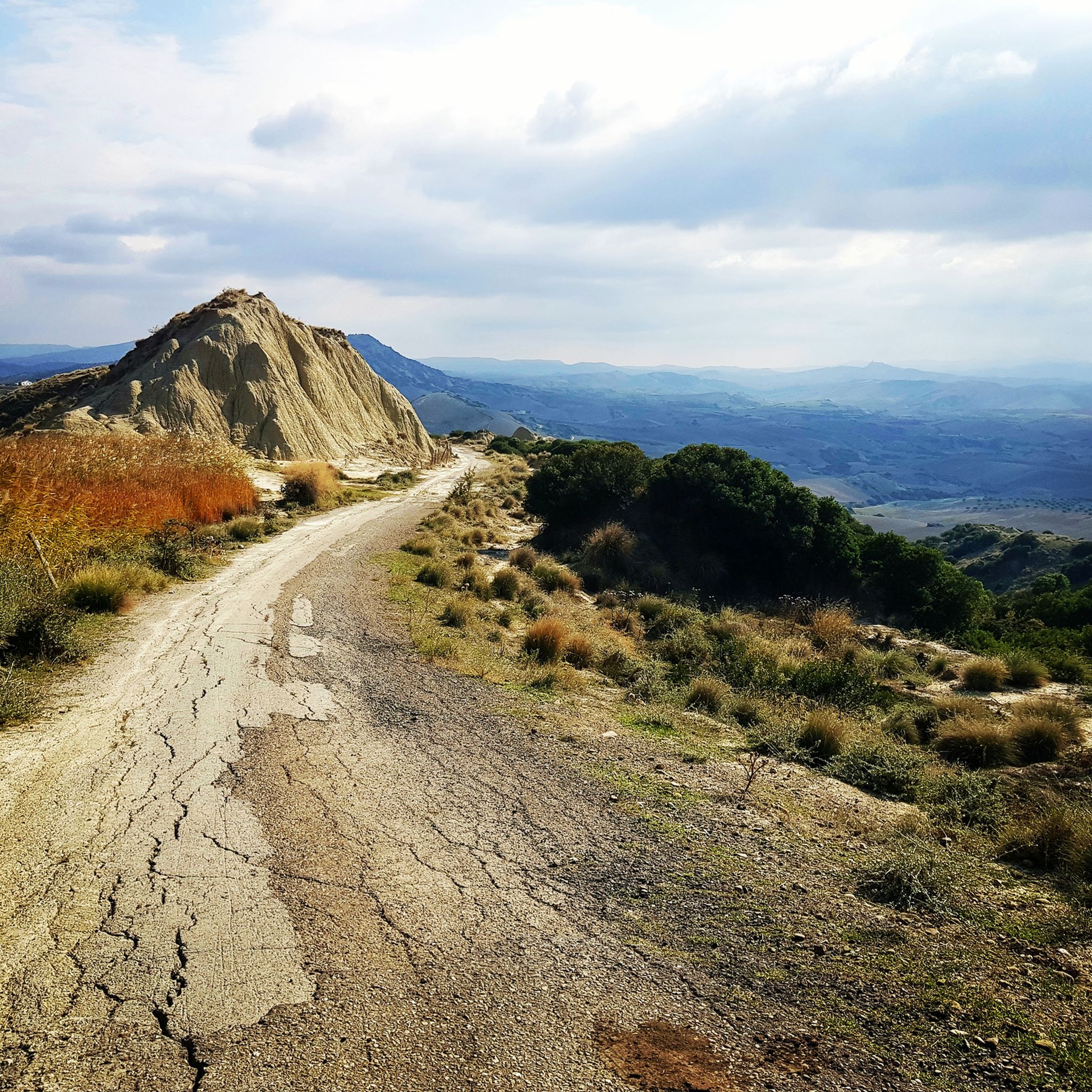
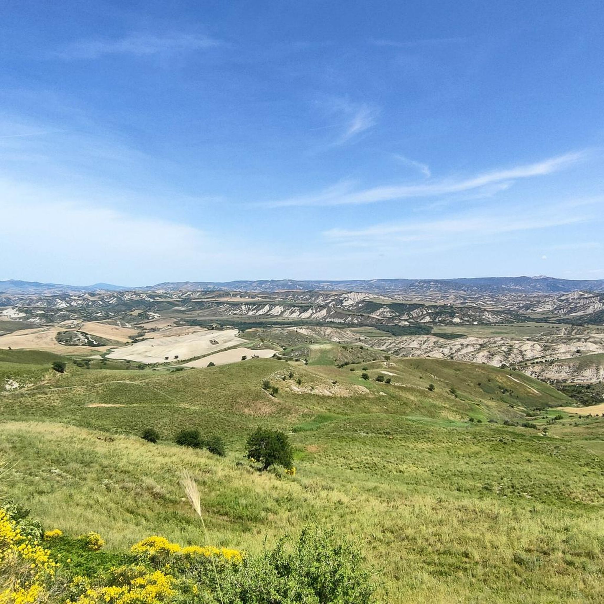
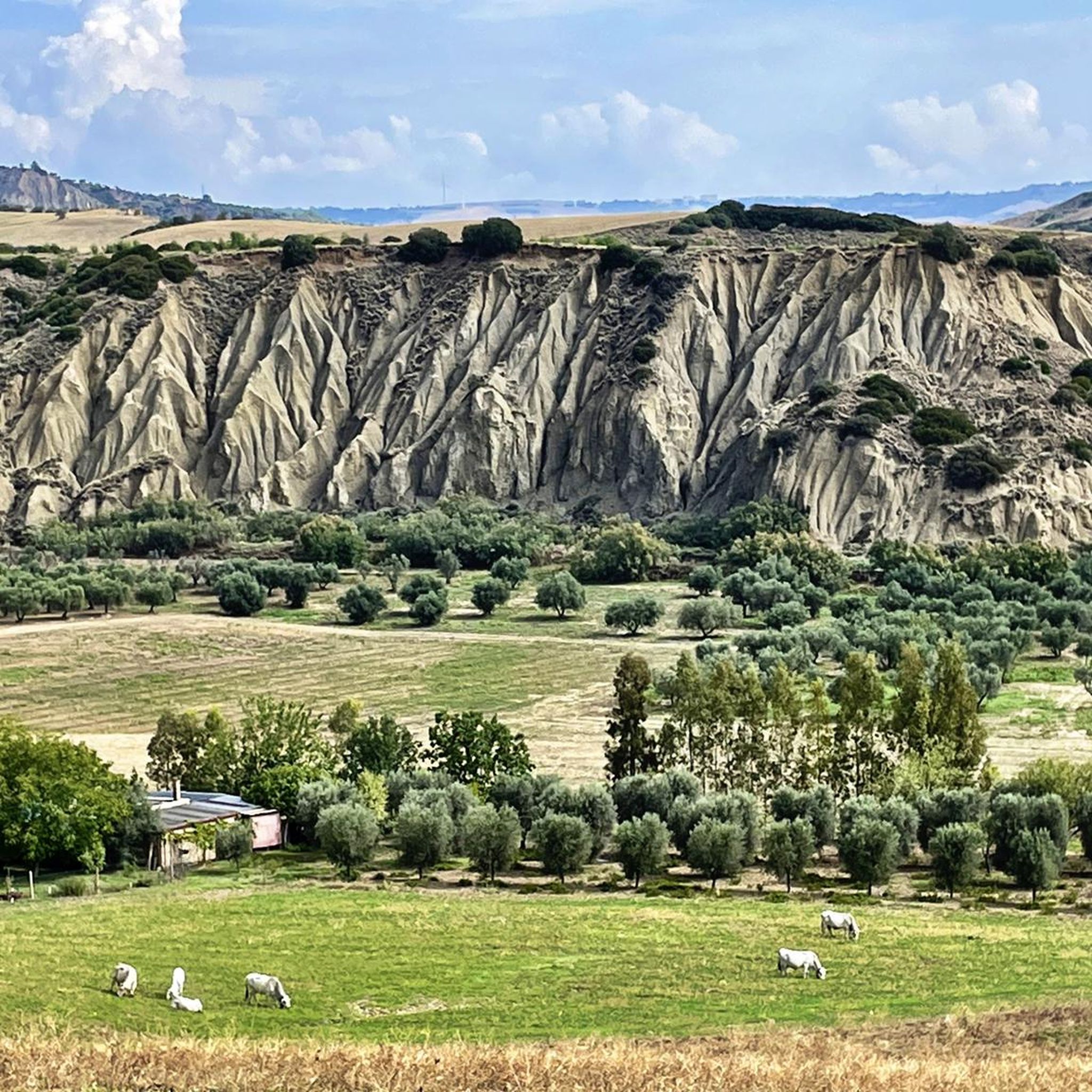
Hiking around Ferrandina offers access to diverse landscapes, from local countryside walks to more rugged regional adventures. The immediate surroundings feature olive groves and gently rolling hills, providing panoramic views of the Basilicata countryside. Beyond the town, the region is characterized by the dramatic Calanchi landscape and provides access to the mountainous terrain of the Lucanian Dolomites. These areas offer varied hiking experiences through rocky spires and ancient paths.
Best hiking trails in Ferrandina
- The most popular hiking route is…
Last updated: July 22, 2026
1.36km
00:23
30m
30m
Easy hike. Great for any fitness level. Easily-accessible paths. Suitable for all skill levels.
4.7
(3)
8
hikers
9.27km
02:38
200m
200m
Moderate hike. Good fitness required. Easily-accessible paths. Suitable for all skill levels.

Sign up for free
4.4
(5)
10
hikers
8.62km
02:58
350m
350m
Moderate hike. Good fitness required. Mostly accessible paths. Sure-footedness required.
5.0
(3)
14
hikers
29.4km
09:05
1,030m
1,030m
Hard hike. Very good fitness required. Easily-accessible paths. Suitable for all skill levels.
4.0
(1)
6
hikers
Moderate hike. Good fitness required. Mostly accessible paths. Sure-footedness required.
Get access to more routes and recommendations from other explorers.
Sign up for free
Already have an account?
Our route recommendations are based on thousands of hikes, rides, and runs completed by other people on komoot.
Start today with a free account
Your next adventure awaits.
Login or Signup
Popular around Ferrandina
Tips from the Community

Excellent stop for coffee/pastries before going back down the cliff towards the cable
0
0

Pisticci, a natural amphitheater between hills and the Ionian Sea, stands out for its unique charm. The three hills, Serra Cipolla, San Francesco and Monte Corno, surround an Italian municipality that embraces a varied landscape. Among the hamlets such as Casinello, Centro Agricolo and Marina di Pisticci, the beauty of this location emerges. Located between the Basento and Cavone rivers, Pisticci connects the ancient eastern plateau to the Ionian coast, although the clay hills to the west present natural challenges. With its S shape, it is the balcony over the Ionian Sea, offering breathtaking views and telling a story that is reflected in the architecture and dominant position. Pisticci captures the heart with its picturesque nature and role as a privileged spectator on the splendor of the Ionian Sea.
3
0

Yet another beautiful village in the province of Matera, there is a lot of clay soil in the surrounding area and the town is certainly worth a visit.
3
1

Located about 40 kilometers from Matera, Grassano is a beautiful village with medieval characteristics with its exposed stone buildings. The church of San Giovanni Battista is very beautiful.
1
0

In 1964 the residents of this town were resettled because it was no longer possible to live in the houses. Be sure to wear sturdy shoes and research the opening times.
2
0

To enjoy the full view you have to climb the last part of the tip; is not too difficult but it is worthwhile
0
1
Frequently Asked Questions
What kind of hiking experiences can I expect around Ferrandina?
Ferrandina offers a diverse range of hiking experiences. You can enjoy tranquil walks through local olive groves and gently rolling hills, providing panoramic views of the Basilicata countryside. For more rugged adventures, the region provides access to the dramatic Calanchi landscape and the mountainous terrain of the Lucanian Dolomites, featuring rocky spires and ancient paths.
Are there any easy hiking trails suitable for beginners or short strolls?
Yes, there are options for easy walks. For instance, the Craco Ghost Town Trail is an easy 0.8-mile (1.4 km) path that takes about 23 minutes to complete, exploring the historic abandoned village of Craco. This is one of the 13 routes available, with 1 specifically rated as easy.
What are some notable natural features or landmarks to see while hiking near Ferrandina?
The area is rich in natural and historical landmarks. You can explore the dramatic Calanchi landscape, characterized by its unique geological formations. The ghost town of Craco is a significant historical site with houses clinging to the rock. Additionally, the region boasts the spectacular Lucanian Dolomites with their rocky spires and quiet forests. You might also encounter views of Lake San Giuliano and its nature reserve.
Are there any circular hiking routes available around Ferrandina?
Yes, several circular routes are available. A popular moderate option is the Pisticci Historic Town Center loop from Pisticci, which is 5.3 miles (8.6 km) long and takes you through the historic town and surrounding countryside. Another is the Hiking loop from Craco Peschiera, a moderate 5.8-mile (9.3 km) path offering views of the Calanchi landscape.
What do other hikers say about the trails in Ferrandina?
The hiking trails around Ferrandina are highly regarded by the komoot community, with an average rating of 4.7 stars from over 10 reviews. Hikers often praise the diverse landscapes, from the serene olive groves to the dramatic Calanchi formations and the unique historical sites like Craco.
Can I find longer or more challenging hikes in the Ferrandina area?
Absolutely. While many routes are moderate, there are also more challenging options. For example, the Grassano Historical Center – Nativity Scene of Grassano loop from Grassano is a difficult 29.1-mile (46.9 km) route, offering a substantial trek for experienced hikers. In total, there are 3 difficult routes out of 13 available.
What is the best time of year to go hiking in Ferrandina?
The Basilicata region, including Ferrandina, offers pleasant hiking conditions during spring and autumn when temperatures are milder. Summer can be hot, especially for longer treks, but early mornings or evenings can still be enjoyable for shorter walks. Winter hiking is possible, but some higher mountain paths might require more preparation.
Are there any trails that pass by lakes or water features?
Yes, some areas near Ferrandina feature lakes. You can find highlights such as the View of Lake San Giuliano and the San Giuliano Dam, the San Giuliano Lake Nature Reserve, and Manferrara Pond. While specific hiking routes directly alongside these might vary, the region offers opportunities to combine hiking with views of these water bodies.
Are there any historical towns or villages I can explore on a hike?
Definitely. The region is dotted with charming historical towns. Besides the famous ghost town of Craco, you can explore the Pisticci Historic Town Center, which is part of a popular hiking loop. The Historic Center of Grottole is another nearby historical site worth visiting.
What are the general characteristics of the terrain and elevation around Ferrandina?
The terrain around Ferrandina varies significantly. Locally, you'll find gently rolling hills and agricultural landscapes, particularly olive groves. Further afield, the region becomes more rugged, featuring the dramatic, eroded landscapes of the Calanchi and the mountainous peaks of the Lucanian Dolomites, which can reach around 1,500 meters, offering more significant elevation changes and challenging ascents.
Are there any trails that offer panoramic viewpoints?
Many trails in the Ferrandina area provide excellent panoramic views, especially those winding through the rolling hills and the Calanchi landscape. For specific viewpoints, consider highlights like the View of Lake San Giuliano from Colle Timmari, which offers expansive vistas of the surrounding area and the lake.
How many hiking routes are there in total around Ferrandina?
There are 13 hiking routes available around Ferrandina, catering to various skill levels. This includes 1 easy route, 9 moderate routes, and 3 difficult routes, ensuring options for everyone from casual walkers to experienced trekkers.
Most popular attractions around Ferrandina

Get inspired with the komoot mobile app


Explore more
Browse the best Hikes in other regions.
