The best road cycling routes around Castelsaraceno
4.4
(9)
268
riders
29
rides
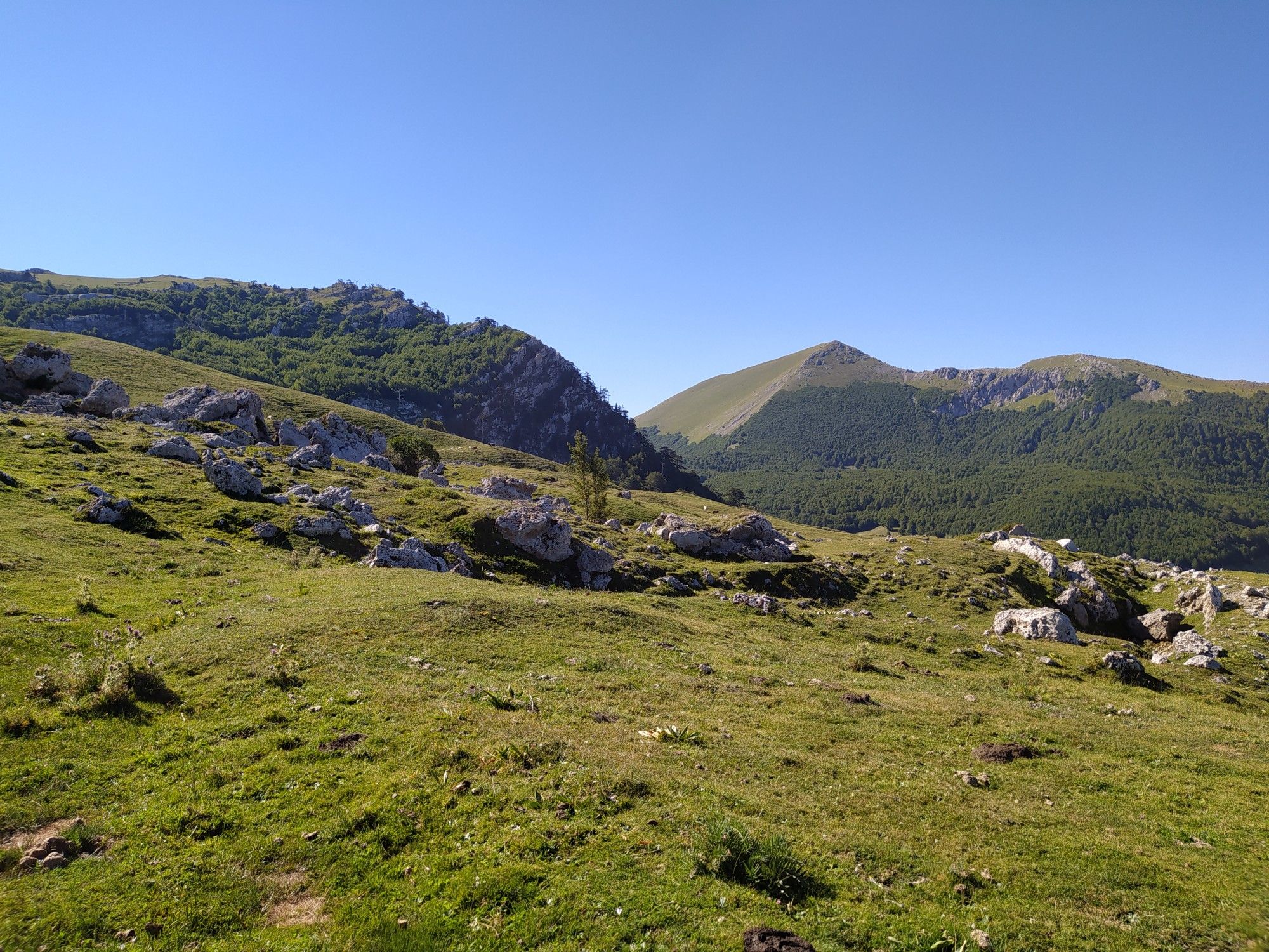
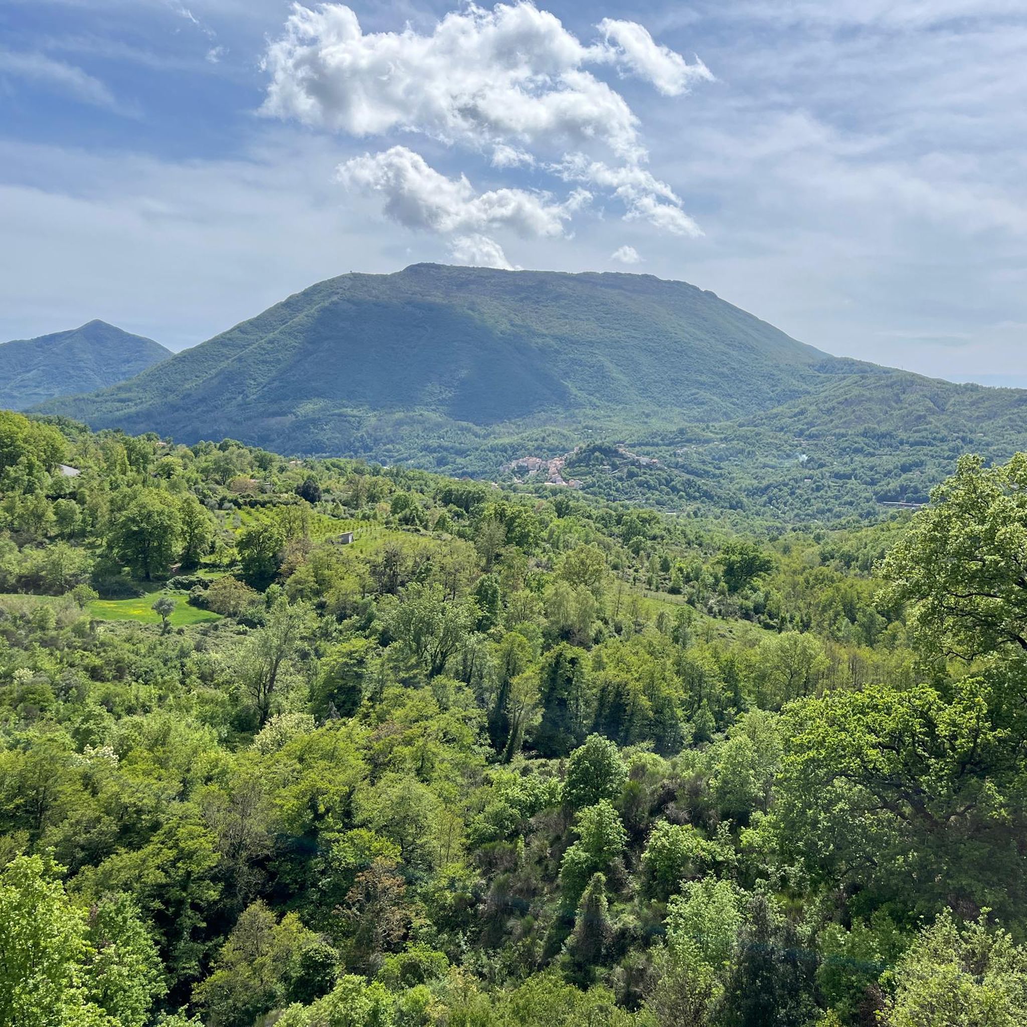
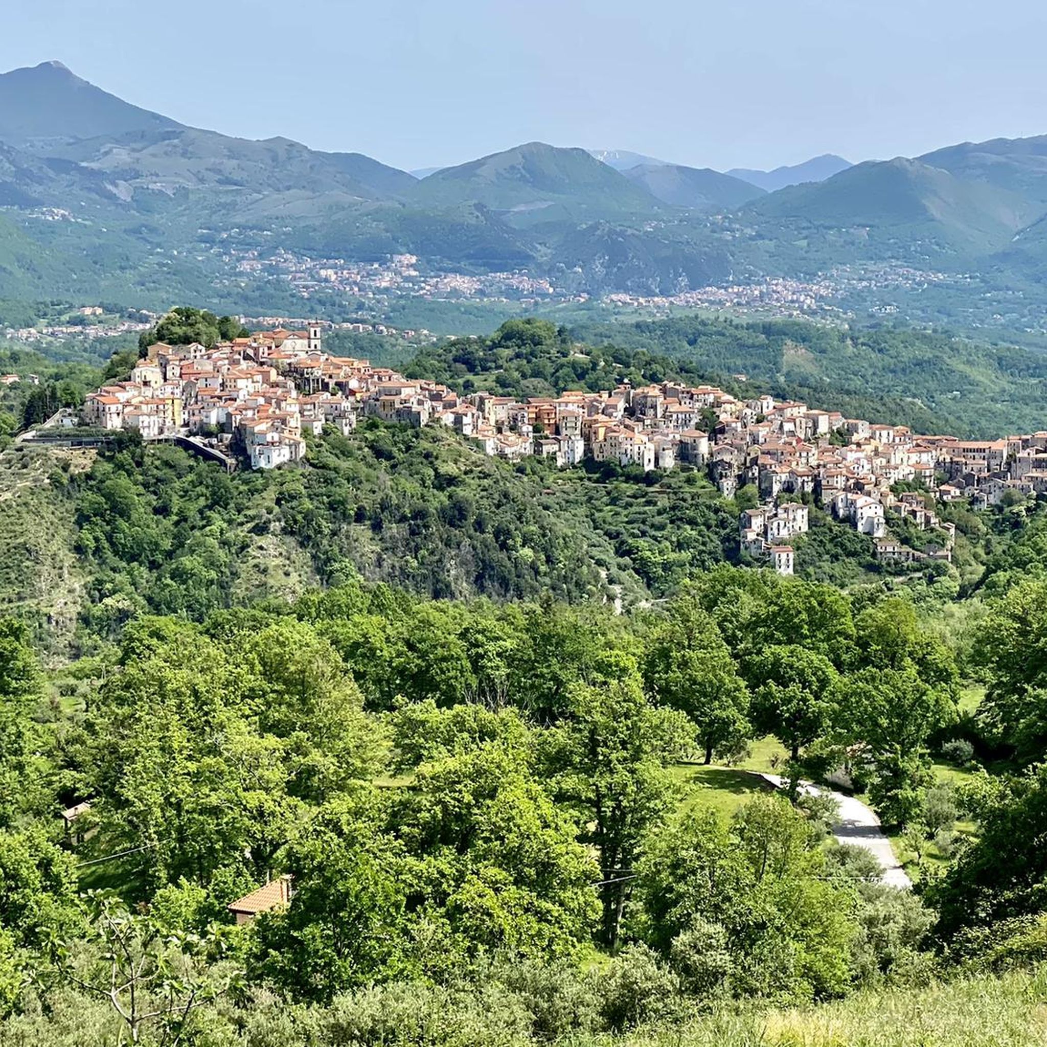
Road cycling around Castelsaraceno offers diverse terrain in Basilicata, Italy, situated between the Pollino National Park and the Lucanian Apennines-Val d'Agri-Lagonegrese National Park. The region features significant elevation changes, with routes traversing dense forests, mountain ranges like Monte Alpi and Monte Raparo, and areas characterized by clay-rich badlands. Cyclists encounter varied topography, from lower valleys to higher mountain passes, providing a range of challenges and scenic viewpoints.
Best road cycling routes around Castelsaraceno
- The most popular road cycling route is…
Last updated: July 22, 2026
6
riders
64.7km
03:29
1,320m
1,320m
Hard road ride. Very good fitness required. Mostly well-paved surfaces and easy to ride.
18
riders
59.9km
03:05
1,050m
1,050m
Hard road ride. Very good fitness required. Mostly well-paved surfaces and easy to ride.

Sign up for free
4.0
(1)
14
riders
93.9km
05:16
2,040m
2,040m
Hard road ride. Very good fitness required. Mostly well-paved surfaces and easy to ride.
17
riders
89.0km
05:17
2,140m
2,140m
Hard road ride. Very good fitness required. Some segments of this route may be unpaved and difficult to ride.
11
riders
72.3km
03:40
1,160m
1,160m
Hard road ride. Very good fitness required. Mostly well-paved surfaces and easy to ride.
Get access to more routes and recommendations from other explorers.
Sign up for free
Already have an account?
Our route recommendations are based on thousands of hikes, rides, and runs completed by other people on komoot.
Start today with a free account
Your next adventure awaits.
Login or Signup
Other adventures around Castelsaraceno

Tips from the Community

It looks like you're in Trentino, but it's actually Basilicata. The cycle path that passes a little above, on the route of the old railway, is beautiful.
0
0


Splendid place immersed in the Lucanian Appennine Park Val d'Agri Lagonegrese which offers many possibilities for refreshment and overnight stay in the surrounding facilities.
0
0

Does anyone know if the closed point has been reopened? Thanks
0
0

Fantastic iron bridges, with immense views
0
0
The cycle path is very beautiful
1
0

I recommend descending from the unmapped but well-marked path of the Sirino sources.
0
0
As of September 2023, it is closed and bypassing it to return to the railway is not exactly intuitive.
0
0
Frequently Asked Questions
How many road cycling routes are available around Castelsaraceno?
There are over 20 road cycling routes around Castelsaraceno, offering a wide range of options for different skill levels. You'll find everything from moderate loops to challenging climbs through varied terrain.
What kind of terrain can I expect when road cycling in Castelsaraceno?
Road cycling in Castelsaraceno features diverse terrain, from lower valleys to higher mountain passes. You'll traverse dense forests, mountain ranges like Monte Alpi and Monte Raparo, and areas characterized by clay-rich badlands. The region is nestled between the Pollino National Park and the Lucanian Apennines-Val d'Agri-Lagonegrese National Park, ensuring a scenic and varied landscape with significant elevation changes.
Are there any family-friendly road cycling options in Castelsaraceno?
While many routes involve significant elevation, the region does offer some easier options. For example, guided e-bike tours like the 'Bosco Favino' tour are suitable for all skill levels, providing a gentler way to explore the beautiful landscapes. When planning, look for routes described as 'easy' or 'moderate' to find suitable paths.
What are some notable landmarks or viewpoints I can see along the road cycling routes?
The routes around Castelsaraceno offer numerous scenic viewpoints and access to significant natural landmarks. You can encounter the twin peaks of Monte Alpi, Monte Santa Croce Summit and Pizzo Falcone summit, or the impressive Monte Raparo Summit. The area also features the UNESCO World Heritage centuries-old beech forest of Bosco Favino and the picturesque Racanello Stream Gorges.
Are there challenging routes for experienced road cyclists?
Yes, Castelsaraceno is known for its challenging routes with significant elevation gains. For instance, the Castronuovo di Sant'Andrea from Carbone – ring tour is a difficult 64.7 km route with over 1300 meters of elevation gain. Another demanding option is the Pastorella Iron Bridge – Malboschetto Road loop from Latronico, which covers 74 km with nearly 1500 meters of climbing.
What is the best time of year for road cycling in Castelsaraceno?
The area's climate is ideal for cycling, particularly during spring and autumn when temperatures are milder. Summer also offers excellent conditions, especially at higher altitudes, though some routes might be more exposed to the sun. Winter can be challenging due to snow and colder temperatures in the mountainous regions.
Are there any loop routes available for road cyclists?
Yes, many road cycling routes around Castelsaraceno are designed as loops, allowing you to start and finish in the same location. Examples include the From Sarconi to San Martino d'Agri – loop in the National Park of Appennino Lucano-Val d'Agri-Lagonegrese and the Illuminated Tunnel – Lake Sirino loop from Latronico.
What do other road cyclists say about the routes in Castelsaraceno?
The road cycling routes in Castelsaraceno are highly rated by the komoot community, with an average score of 3.8 stars. Cyclists often praise the diverse terrain, the stunning natural beauty of the national parks, and the variety of challenges offered, from moderate loops to difficult climbs.
Are there any specific rules for cycling with dogs in the Castelsaraceno area?
When cycling with dogs in the national parks and protected areas around Castelsaraceno, it's generally required to keep them on a leash to protect local wildlife and ensure their safety. Always check specific park regulations before your ride, as rules can vary.
Where can I find parking facilities for road cycling routes in Castelsaraceno?
Castelsaraceno, as a hub for outdoor activities, generally offers parking facilities within the village or at common starting points for trails. It's advisable to check specific route descriptions or local signage for designated cyclist parking areas, especially when starting from smaller towns or trailheads within the national parks.
Are there any bike-friendly cafes or establishments in Castelsaraceno?
As cycling tourism is actively promoted in Castelsaraceno, you can expect to find establishments that welcome cyclists. Many local cafes and restaurants in the village are accustomed to outdoor enthusiasts. It's always a good idea to check for 'bike-friendly' signs or ask locals for recommendations upon arrival.
Can I reach Castelsaraceno by public transport with my bike?
While public transport options exist in Basilicata, bringing bikes can sometimes be challenging. Regional buses or trains might have limitations on carrying bicycles, especially during peak hours or for larger groups. It's recommended to check with local transport providers in advance for their specific policies regarding bikes.
What makes Castelsaraceno a unique destination for road cycling?
Castelsaraceno's unique appeal lies in its strategic location between two national parks, offering an 'idyllic contact with nature.' The region boasts diverse topography, from the ancient Loric Pines on Monte Alpi to the medicinal herbs of Monte Raparo, and even the clay-rich badlands. This variety, combined with the promotion of cycling tourism, makes it a distinctive and rewarding destination for road cyclists.
Most popular attractions around Castelsaraceno

Get inspired with the komoot mobile app


Explore more
Browse the best Road cycling routes in other regions.
