The best road cycling routes around Noepoli
4.3
(4)
130
riders
26
rides
Road cycling around Noepoli, situated at 676 meters above sea level, offers varied terrain within southern Basilicata. The region is characterized by hilly and mountainous landscapes, winding roads, and its location within the Pollino National Park. Cyclists encounter significant elevation changes and routes that traverse river valleys, providing diverse scenery. This area is ideal for road cycling due to its natural features and the presence of less-trafficked secondary roads.
Best road cycling routes around Noepoli
- The most popular road cycling…
Last updated: July 28, 2026
11
riders
53.5km
02:42
880m
880m
Moderate road ride. Good fitness required. Some segments of this route may be unpaved and difficult to ride.
12
riders
89.1km
04:18
1,250m
1,250m
Hard road ride. Very good fitness required. Mostly well-paved surfaces and easy to ride.

Sign up for free
6
riders
72.7km
03:55
1,330m
1,330m
Hard road ride. Very good fitness required. Mostly well-paved surfaces and easy to ride.
8
riders
123km
07:01
2,580m
2,580m
Hard road ride. Very good fitness required. Some segments of this route may be unpaved and difficult to ride.
4
riders
79.6km
03:53
1,170m
1,160m
Hard road ride. Very good fitness required. Mostly well-paved surfaces and easy to ride.
Get access to more routes and recommendations from other explorers.
Sign up for free
Already have an account?
Our route recommendations are based on thousands of hikes, rides, and runs completed by other people on komoot.
Start today with a free account
Your next adventure awaits.
Login or Signup
Popular around Noepoli

Tips from the Community

To get onto this route, you have to travel a few meters on the S.S. Val D'Agri which, even if not very busy in this section, remains a fast road with heavy vehicle traffic. "ATTENTION"
0
0

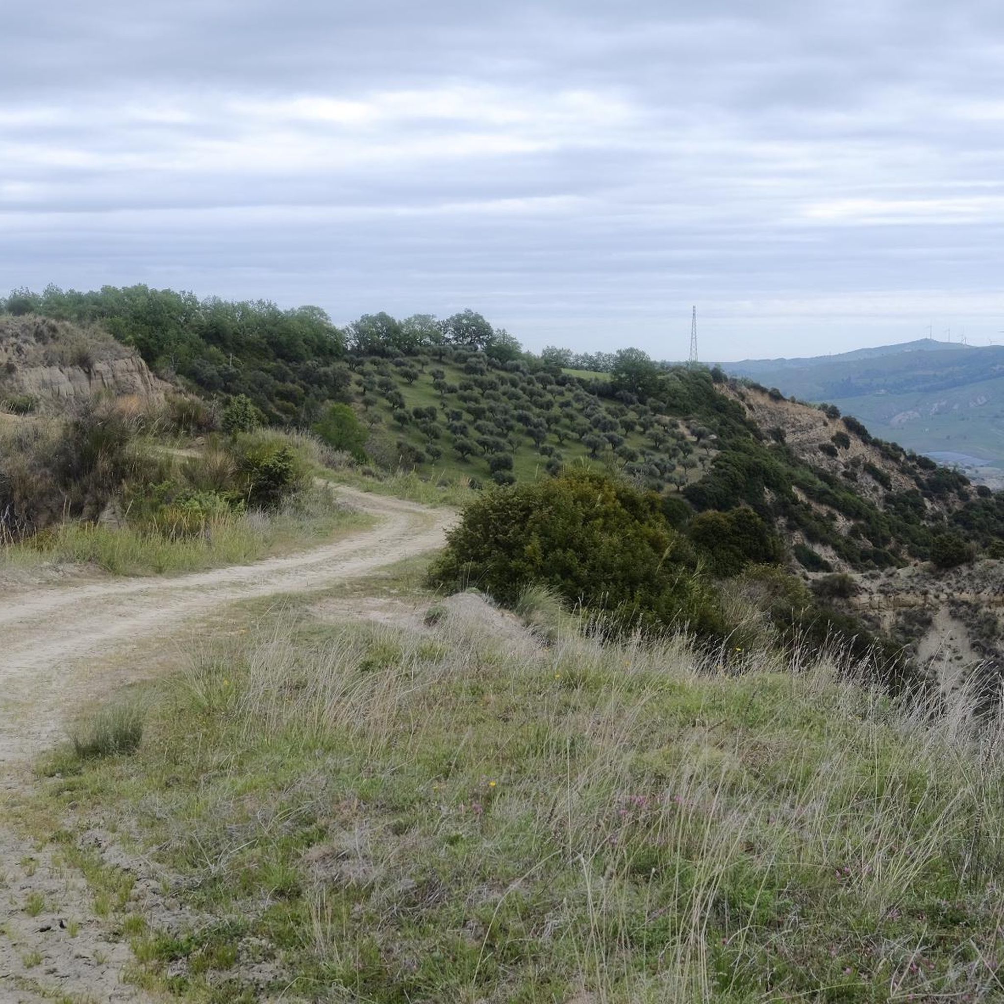
Magnificent view of the Aliano gullies
0
0

Right along the car road , easy to reach for any leve of fitness and enjoy a peaceful place
0
0
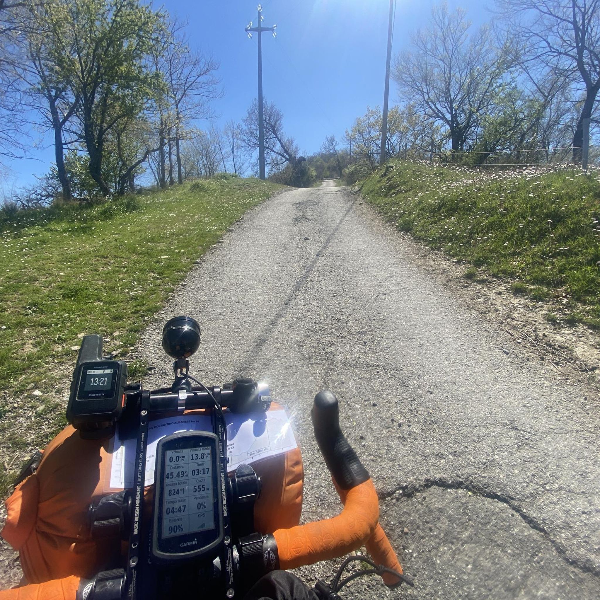
Slopes recorded up to 22%, the first km is a wall! The rest of the climb allows you to take a little breather and in any case has gradients of around 14.15%... but the view is worth it!!!
0
0

Free refill, pump and tools for repairing faults. Free charging and self-repair station for bicycles and e-bikes.
0
0

Various everyday objects left there, almost in a hurry, occupy the heart. Arranged but practical and functional construction styles ask for movement for the mind. In the end the silence, created by the wind and the birds, make one think of desolation and the abandonment of one's loved ones. A unique place that MUST be visited... but in silence, without breaking the peace created upstream of the gullies. This is also Basilicata 🥰
3
0

The Monte Cotugno dam was built between 1970 and 1982, is located in the territory of the municipality of Senise and is the largest clay dam in Europe.
0
0
This small waterfall is created by a leap from the Peschiera river. Here people gather to refresh themselves and spend some time immersed in nature.
0
0
Frequently Asked Questions
What is the general terrain like for road cycling around Noepoli?
The region around Noepoli, situated at 676 meters above sea level, is characterized by a mix of hilly and mountainous landscapes with winding roads. It's nestled within the Pollino National Park, offering significant elevation changes and routes that traverse river valleys, providing diverse and challenging scenery for road cyclists.
How many road cycling routes are available in the Noepoli area?
There are over 20 road cycling routes around Noepoli, catering to various preferences. These include 7 moderate routes and 13 more difficult options, ensuring there's something for every skill level.
Are there routes suitable for advanced road cyclists seeking a challenge?
Yes, Noepoli offers several challenging routes. For instance, the Castelsaraceno village – Castronuovo di Sant'Andrea loop from Chiaromonte is a difficult 53.8-mile (86.6 km) trail with substantial elevation gain, typically completed in about 4 hours 50 minutes. Another demanding option is the Peschiera River Waterfall – Colle dell'Impiso loop from San Costantino Albanese, which spans 137.8 km and features over 3500 meters of elevation gain.
Can I find routes with scenic viewpoints or natural features?
Absolutely. Many routes offer breathtaking panoramic views of the Sinni valley and the Pollino National Park. You can also find specific points of interest like the View of Monte Cotugno Dam, which is part of a peaceful, often deserted road stretch. The Peschiera River Waterfall – Colle dell'Impiso loop from San Costantino Albanese also includes a waterfall.
Are there any historic villages or cultural sites to visit along the cycling routes?
Yes, the region is dotted with charming historic villages. The Nocara Historic Village, perched at 859 meters above sea level, offers stunning views and cultural enrichment. You might also pass through Terranova del Pollino, another notable settlement in the area.
What do other road cyclists enjoy most about cycling in Noepoli?
The road cycling routes around Noepoli are highly rated by the komoot community, with an average score of 5.0 stars. Cyclists often praise the varied terrain, the stunning views of the Pollino National Park, and the presence of less-trafficked secondary roads that offer a more immersive experience in nature.
Are there any loop routes available for road cycling?
Yes, many of the road cycling routes around Noepoli are designed as loops, allowing you to start and finish at the same point. Examples include the popular Rotalupo – Castronuovo di Sant'Andrea loop from Senise and the Public Fountain loop from Senise.
What is the best time of year for road cycling in Noepoli?
Given Noepoli's elevation and location within the Pollino National Park, spring and autumn generally offer the most pleasant conditions for road cycling, with milder temperatures and beautiful scenery. Summer can be warm, especially in the valleys, but higher elevations provide some relief. Winter may bring colder temperatures and potential snow at higher altitudes.
Are there any routes that offer a quiet cycling experience away from traffic?
Yes, the region is known for its secondary roads that are often 'almost deserted,' providing a peaceful cycling experience. The road leading to the View of Monte Cotugno Dam is particularly noted for being quiet for several kilometers, offering ample shade and a serene environment.
Can I find routes that pass by a birdwatching observatory?
Yes, some routes in the area may offer access to a birdwatching observatory. This can provide a unique point of interest during your ride, allowing for a shaded rest stop and an opportunity to appreciate the local wildlife. Look for routes that pass near the Access to the Birdwatching Observatory highlight.
What kind of elevation gain can I expect on road cycling routes in Noepoli?
Road cycling in Noepoli involves significant elevation changes due to the hilly and mountainous terrain. Even moderate routes like the Rotalupo – Castronuovo di Sant'Andrea loop from Senise feature nearly 900 meters of ascent. More difficult routes, such as the Agromonte Magnano loop from Agip, can have over 2200 meters of elevation gain, making them ideal for experienced climbers.
Most popular attractions around Noepoli

Get inspired with the komoot mobile app


Explore more
Browse the best Road cycling routes in other regions.
