The best walks and hikes around Lungro
4.5
(90)
386
hikers
20
hikes
Hiking around Lungro offers access to the diverse landscapes of Calabria, characterized by its mountainous terrain and dense woodlands. The region features elevations that provide panoramic views, particularly within the Pollino National Park. Trails often traverse through forests and open areas, with varying gradients. The area's geology includes limestone formations and river valleys, contributing to a varied hiking experience.
Best hiking trails around Lungro
- The most popular hiking route is Caramolo Trail, a 9.7 miles (15.6 km) trail that…
Last updated: May 11, 2026
4.8
(5)
24
hikers
15.6km
05:07
610m
610m
Hard hike. Very good fitness required. Sure-footedness, sturdy shoes and alpine experience required.
4.7
(7)
14
hikers
14.3km
04:01
280m
280m
Moderate hike. Good fitness required. Easily-accessible paths. Suitable for all skill levels.

Sign up for free
5.0
(1)
6
hikers
7.74km
02:32
340m
340m
Moderate hike. Good fitness required. Mostly accessible paths. Sure-footedness required.
4.8
(5)
26
hikers
13.1km
04:28
540m
540m
Moderate hike. Good fitness required. Mostly accessible paths. Sure-footedness required.
4.5
(2)
5
hikers
9.20km
03:27
590m
590m
Moderate hike. Good fitness required. Easily-accessible paths. Suitable for all skill levels.
Get access to more routes and recommendations from other explorers.
Sign up for free
Already have an account?
Our route recommendations are based on thousands of hikes, rides, and runs completed by other people on komoot.
Start today with a free account
Your next adventure awaits.
Login or Signup

Tips from the Community

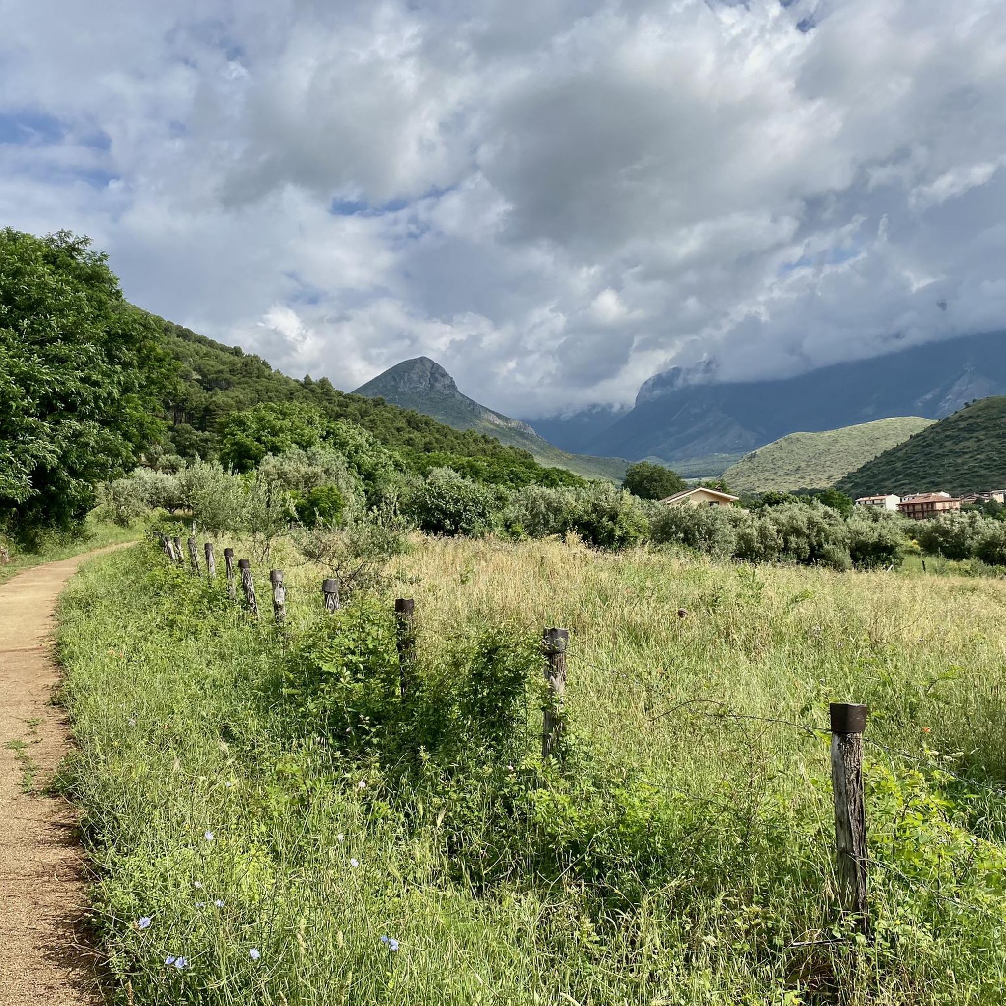
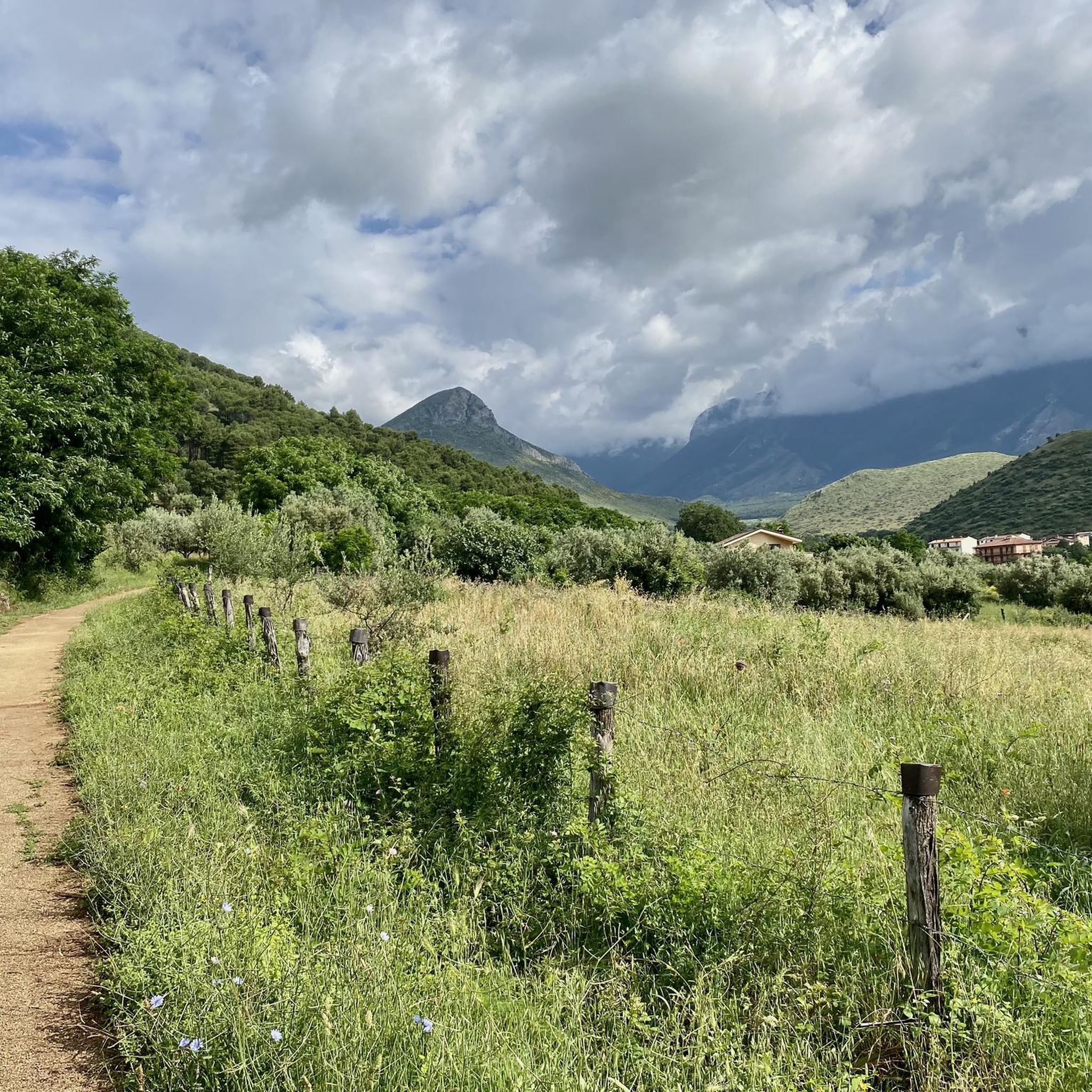
Altopiano di Novacco in the municipality of Saracena is a very beautiful place to visit in all seasons, an intact and unspoiled nature, beautiful to see, I recommend……
0
0


Beautiful alpine pasture. It's not yet possible to stay overnight here. (May 2025)
6
0

An excellent time to visit is certainly in spring, and it is possible to enjoy the beech woods along the fireplace. In the past, this area was used to cut the forest from the municipality of Saracena.
2
0
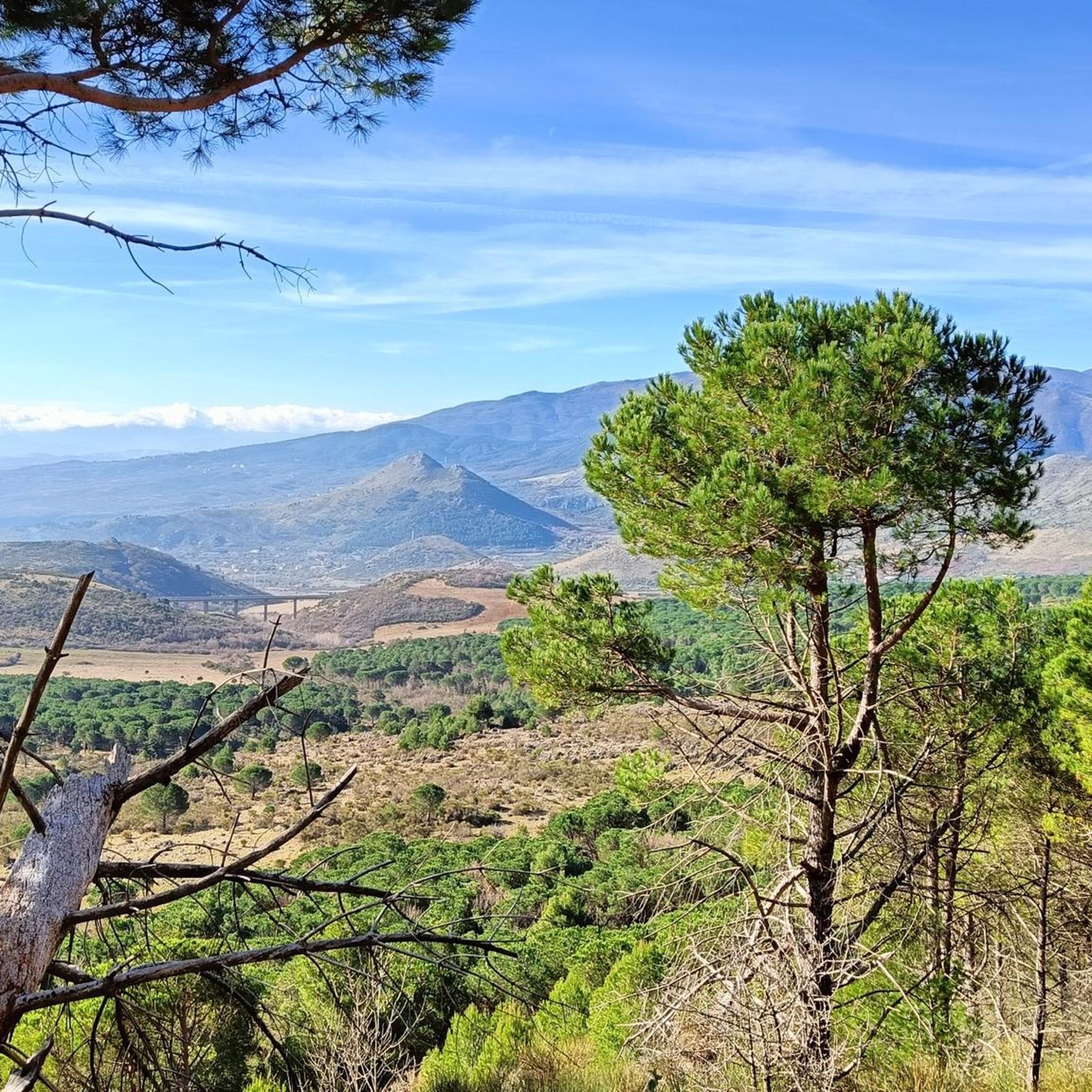
Monte Caramolo, with a height of 1827 m, is part of the Monti di Orsomarso mountain range. The area is distinguished by its ridges covered with beech forests.
1
0
Piano Novacco is a grazing plateau where the golden eagle is also present. Other animals present in this area are: the wolf, the roe deer and the wild cat.
2
0
Monte Palanuda is located at 1632 meters, and from here it is possible to observe the Timpone Garrola. Near Monte Palanuda there is also the point where the Argentino river starts.
2
0
Frequently Asked Questions
How many hiking trails are available around Lungro?
There are over 20 hiking routes around Lungro, offering a variety of experiences. These include 14 moderate trails and 6 more difficult options, catering to different skill levels.
Are there any easy or beginner-friendly hikes in Lungro?
While Lungro's terrain is generally mountainous, most routes are classified as moderate. There are no trails specifically listed as 'easy' in the immediate vicinity, but moderate options like Italy Trail - Stage U31 offer varied landscapes without extreme difficulty.
What kind of landscapes can I expect to see on hikes around Lungro?
Hiking around Lungro offers diverse landscapes, from dense woodlands and open country to mountainous terrain within the Pollino National Park. You'll encounter varying gradients, limestone formations, and river valleys, providing a rich and varied hiking experience.
Are there any circular hiking routes near Lungro?
Yes, there are several circular routes. For example, the Rifugio di Caramolo – Monte Caramolo loop from Bruscata is a moderate 13 km (8.1 miles) trail. Another option is the Piano Novacco – Monte Palanuda loop from Centro turistico montano Novacco, which is about 9.2 km (5.7 miles).
What are some notable natural attractions or viewpoints along the trails?
The region boasts several natural highlights. You can find a breathtaking view along some routes. The Pollino National Park itself is a major attraction, and you might even discover the Ficara Waterfall.
What is the best season for hiking in Lungro?
Given its mountainous terrain and dense woodlands, spring and autumn generally offer the most pleasant conditions for hiking in Lungro, with milder temperatures and vibrant natural colors. Summer can be warm, especially at lower elevations, while winter may bring snow to higher parts of the Pollino National Park.
Are there any family-friendly hiking options around Lungro?
While specific 'easy' family routes aren't highlighted, moderate trails like From Piano di Novacco to Monte Palanuda – Pollino National Park, at 7.7 km (4.8 miles) and taking about 2.5 hours, could be suitable for families with some hiking experience.
What do other hikers say about the trails in Lungro?
The trails in Lungro are highly regarded by the komoot community, holding an average rating of 4.5 stars from over 80 reviews. Hikers often praise the diverse landscapes, the challenge of the mountainous terrain, and the beauty of the Pollino National Park.
Are there any historical or cultural landmarks to explore near the hiking areas?
Beyond the trails, the area offers cultural points of interest. The town of Castrovillari is nearby, and Morano Calabro is recognized as one of Italy's most beautiful villages, offering a glimpse into local history and architecture.
What should I bring for a hike in Lungro?
Given the varied terrain and potential for elevation changes, it's advisable to bring appropriate hiking footwear, layers of clothing, sufficient water, snacks, and navigation tools. If hiking in the Pollino National Park, be prepared for mountain conditions.
Are there options for longer, more challenging hikes?
Yes, for those seeking a challenge, routes like the Caramolo Trail are classified as difficult. This 15.6 km (9.7 miles) route involves significant elevation gain and can take over 5 hours to complete, offering a strenuous but rewarding experience.
Is public transport available to reach trailheads around Lungro?
Information on specific public transport routes directly to all trailheads is not readily available in the guide data. It is generally recommended to check local bus schedules or consider driving to access the more remote starting points for hikes in the Lungro area, especially within the Pollino National Park.
Where can I find parking for hiking trails in Lungro?
While specific parking locations for every trailhead are not detailed, many routes, especially those starting from towns or established recreational areas like Piano di Novacco, typically have designated parking. It's advisable to check the starting point of your chosen route on a map for nearby parking facilities.
Most popular attractions around Lungro

Get inspired with the komoot mobile app


Explore more
Browse the best Hikes in other regions.
