The best walks and hikes around San Donato Di Ninea
4.6
(160)
619
hikers
34
hikes
Hiking around San Donato Di Ninea offers access to varied landscapes within the Pollino National Park. The region is characterized by mountainous terrain, dense woodlands, and river valleys, providing diverse environments for outdoor exploration. Trails often feature significant elevation changes and natural viewpoints. The area provides opportunities for hikers seeking both moderate and more challenging routes.
Best hiking trails around San Donato Di Ninea
- The most popular hiking route is Pellegrino Trail, a 6.3 miles (10.2 km) trail that…
Last updated: May 11, 2026
4.6
(9)
50
hikers
10.2km
03:43
590m
590m
Hard hike. Good fitness required. Sure-footedness, sturdy shoes and alpine experience required.
3
hikers
Moderate hike. Good fitness required. Easily-accessible paths. Suitable for all skill levels.

Sign up for free
4.8
(4)
12
hikers
20.6km
06:38
890m
900m
Hard hike. Very good fitness required. Easily-accessible paths. Suitable for all skill levels.
5.0
(1)
5
hikers
14.8km
04:49
510m
510m
Moderate hike. Good fitness required. Mostly accessible paths. Sure-footedness required.
2.5
(2)
6
hikers
8.08km
03:37
610m
610m
Hard hike. Good fitness required. Sure-footedness, sturdy shoes and alpine experience required.
Get access to more routes and recommendations from other explorers.
Sign up for free
Already have an account?
Our route recommendations are based on thousands of hikes, rides, and runs completed by other people on komoot.
Start today with a free account
Your next adventure awaits.
Login or Signup

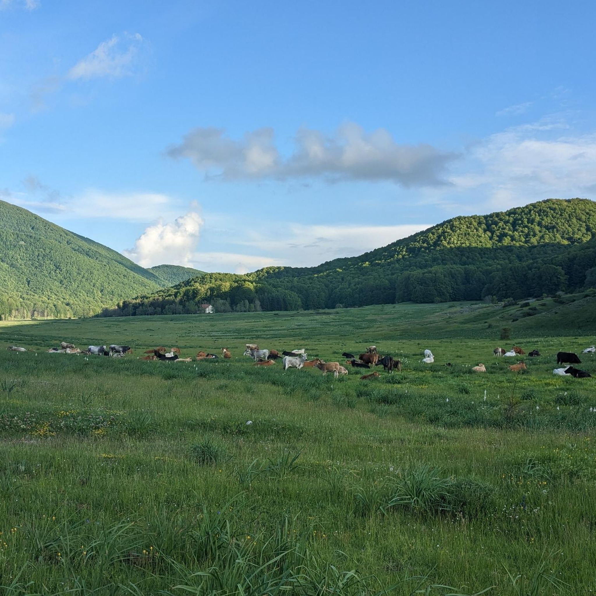
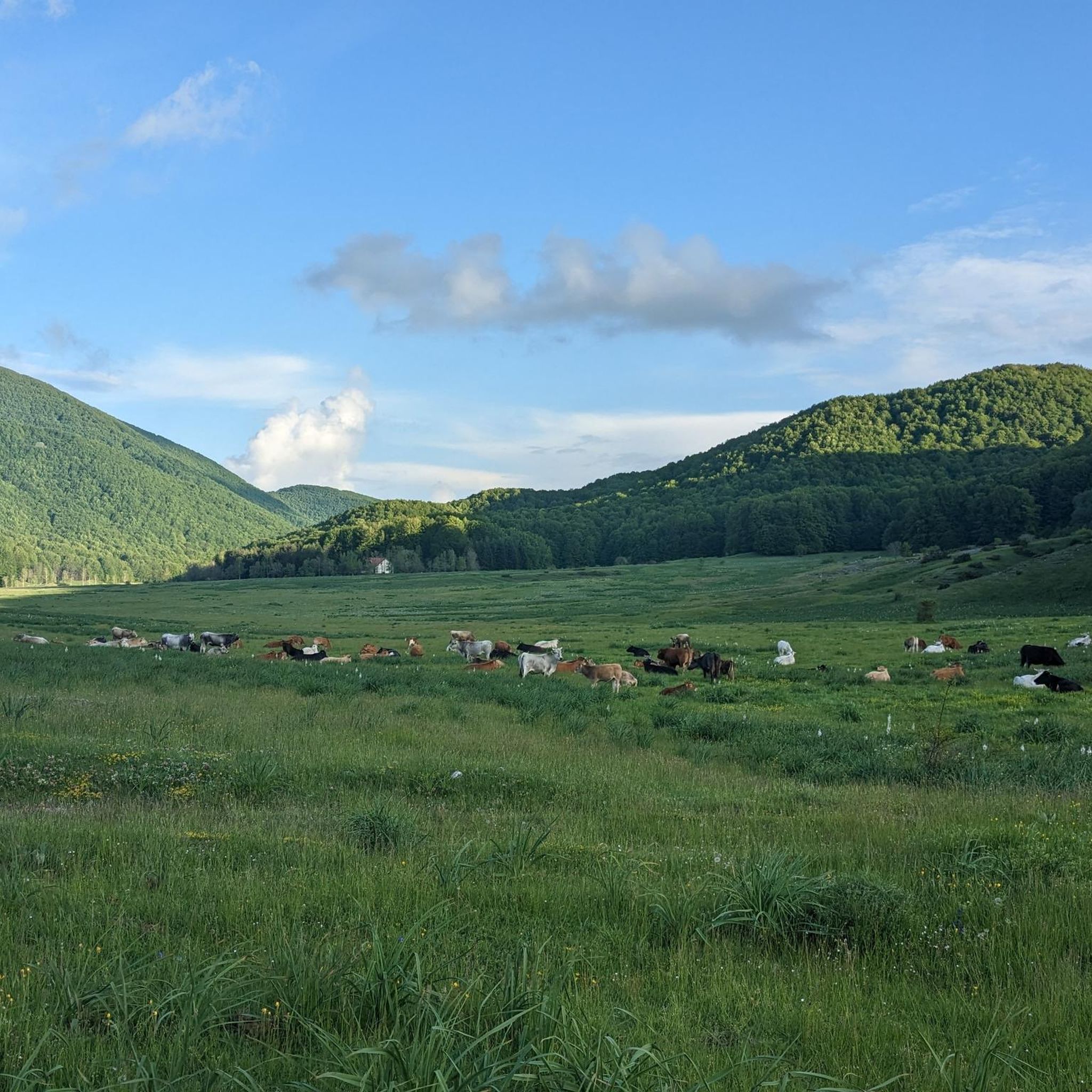
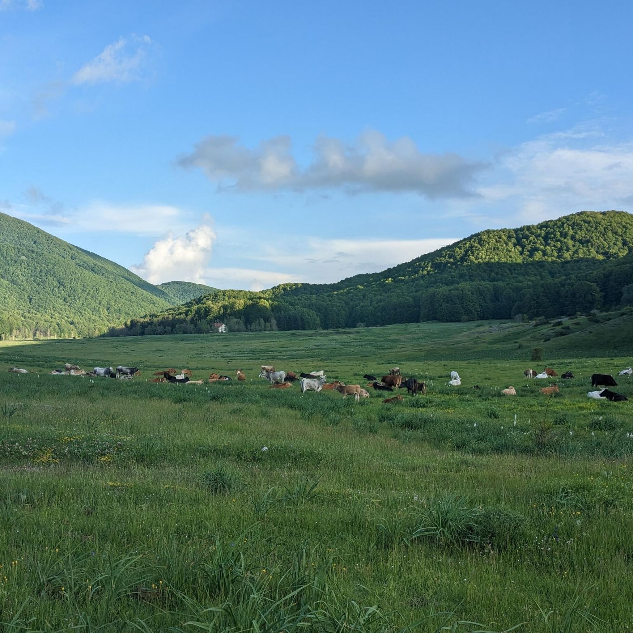
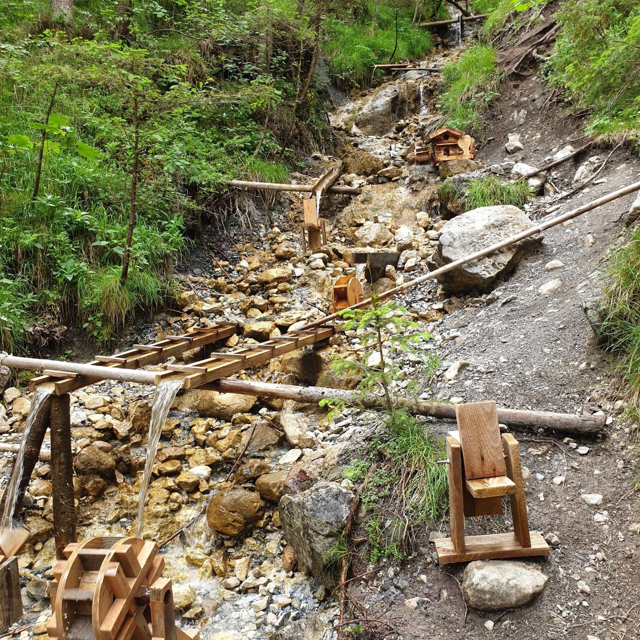
Other adventures around San Donato Di Ninea

Tips from the Community

The hut is currently closed. (May 2025) Opening hours are unclear
6
0
The Sanctuary of the Madonna del Pettoruto is an important place of Marian worship located in San Sosti, in the province of Cosenza, Calabria. Immersed in the suggestive gorge of the Rosa river, between Monte Montea and Monte Mula, it is located at about 543 meters above sea level. Origins and legend According to tradition, the sanctuary has legendary origins. A man named Nicola Mairo, originally from Altomonte and unjustly accused of murder, took refuge on the mountain where the sanctuary stands today. During his time in hiding, he had a mystical vision of the Madonna and Child and carved her image on a tuff rock. In 1449 he was cleared of all charges. In the early 1600s, a deaf-mute shepherd boy discovered the carved image and, miraculously, regained his speech, thus allowing the construction of the sanctuary. Architecture and awards The current building was built between 1824 and 1840 by order of Bishop Felice Greco. In 1979, Pope John Paul II elevated it to a basilica
5
0

From here on and for about 15/20 minutes of walking towards the summit, you follow a rather challenging stretch due to the particularly steep slope. Not recommended if it had rained a lot in the previous days.
0
0
A beech that seems to have been purposely made to take a picture of itself to become a "beech-man"
0
0
If you go up a few meters, on the opposite side of where you see the beech from the path, you will admire it in all its height and grandeur.
0
0
A beautiful Beech, imposing and slightly hidden on the right, going down towards the Piano di Lanzo.
0
0

Refuge with a few beds and a kitchen, the road leading to the structure is paved.
0
0

The Sanctuary of the Madonna del Pettoruto is located at an altitude of 543 metres, inside a gorge between Monte Montea and Monte Mula. Every year between 1 and 8 September there is a festival and a pilgrimage from San Sosti to the Sanctuary, in which the whole town participates.
5
0
Frequently Asked Questions
How many hiking trails are available around San Donato Di Ninea?
There are over 30 hiking routes in the San Donato Di Ninea area, offering a variety of experiences within the Pollino National Park. These range from moderate paths to more challenging ascents.
Are there any easy or beginner-friendly hikes in San Donato Di Ninea?
Yes, the region offers a few easier options. While many trails involve significant elevation changes, there are at least 2 routes classified as easy, and 21 as moderate, suitable for those looking for less strenuous walks. These typically feature varied terrain without extreme difficulty.
What is the typical duration for hikes around San Donato Di Ninea?
Hike durations vary significantly. For example, the From San Sosti to the Sanctuary of Madonna del Pettoruto – Pollino National Park trail takes about 2 hours, while longer routes like the Rifugio Piano di Lanzo – Monte La Mula loop from Rifugio Piano di Lanzo can take over 6 hours to complete.
What kind of landscapes can I expect to see while hiking in San Donato Di Ninea?
The hiking trails in San Donato Di Ninea are characterized by mountainous terrain, dense woodlands, and river valleys. You'll encounter diverse environments, from lush forests to open vistas, often with significant elevation changes that provide panoramic views of the Pollino National Park.
Are there any circular hiking routes available?
Yes, there are several circular routes. An example is the Rifugio Campolongo – Monte Caramolo loop from Rifugio Campolongo, which offers a moderate 14.9 km (9.3 miles) journey through the scenic landscape. Another is the Rifugio Piano di Lanzo – Cozzo del Pellegrino Peak loop from Rifugio Piano di Lanzo, a challenging 8.1 km (5 miles) loop.
What do other hikers say about the trails in San Donato Di Ninea?
The trails in San Donato Di Ninea are highly rated by the komoot community, with an average score of 4.5 stars from over 150 reviews. Hikers often praise the challenging ascents, panoramic views, and the varied terrain within the national park.
What are some interesting natural landmarks or peaks to explore?
The region is home to several notable peaks and viewpoints. You can explore Monte Palanuda, enjoy the views from La Cresta, or ascend to Cozzo del Pellegrino Peak. These offer stunning perspectives of the surrounding mountainous landscape.
Are there any huts or refuges along the hiking trails?
Yes, there are several huts and refuges that can serve as rest stops or even overnight stays. Notable ones include Rifugio Belvedere and Memorial Chapel, Rifugio Povera Mosca, and Rifugio Le Vasche. These can be found along various routes in the area.
When is the best time of year to hike in San Donato Di Ninea?
The best time to hike in San Donato Di Ninea is generally from spring through autumn (April to October). During these months, the weather is typically milder and more stable, making for pleasant hiking conditions. Summer can be warm, especially at lower elevations, while higher mountain trails offer cooler temperatures.
Is San Donato Di Ninea suitable for winter hiking?
While the mountainous terrain of the Pollino National Park can offer beautiful winter scenery, conditions can be challenging with snow and ice. Winter hiking requires appropriate gear, experience, and checking local weather and trail conditions beforehand. Some higher trails may be inaccessible.
What should I wear and bring for hiking in this region?
Given the varied terrain and elevation changes, it's advisable to wear sturdy hiking boots, layered clothing suitable for changing weather, and bring plenty of water. Sun protection, a map or GPS device, and snacks are also recommended, especially for longer or more challenging routes.
Most popular attractions around San Donato Di Ninea

Get inspired with the komoot mobile app


Explore more
Browse the best Hikes in other regions.
