The best running trails around San Donato Di Ninea
16
runners
3
runs
Jogging routes San Donato di Ninea are situated within the Pollino National Park in Calabria, Italy, offering a diverse landscape for runners. The region is characterized by green mountains, extensive forests of beech and oak, and an "up-and-down wonderland" of the Calabrian Apennines. Located on the slopes of Cozzo del Pellegrino, the area provides varied terrain with inclines and descents, alongside panoramic views of the Esaro Valley. This setting offers a mix of challenging mountain trails and scenic paths suitable…
Last updated: October 4, 2026
9.58km
01:15
420m
420m
Hard run. Very good fitness required. Mostly accessible paths. Some sure footedness required.
9
runners
7.20km
01:23
620m
620m
Hard run. Very good fitness required. Mostly paved surfaces. Suitable for all skill levels.

5
runners
10.1km
01:29
450m
450m
Hard run. Very good fitness required. Sure-footedness, sturdy shoes and alpine experience required.
2
runners
19.8km
02:15
560m
550m
Hard run. Very good fitness required. Mostly paved surfaces. Suitable for all skill levels.
Our route recommendations are based on thousands of hikes, rides, and runs completed by other people on komoot.
Start today with a free account
Your next adventure awaits.

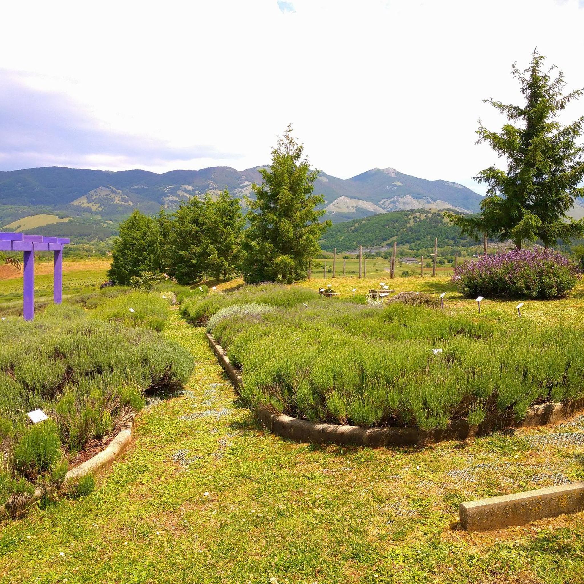
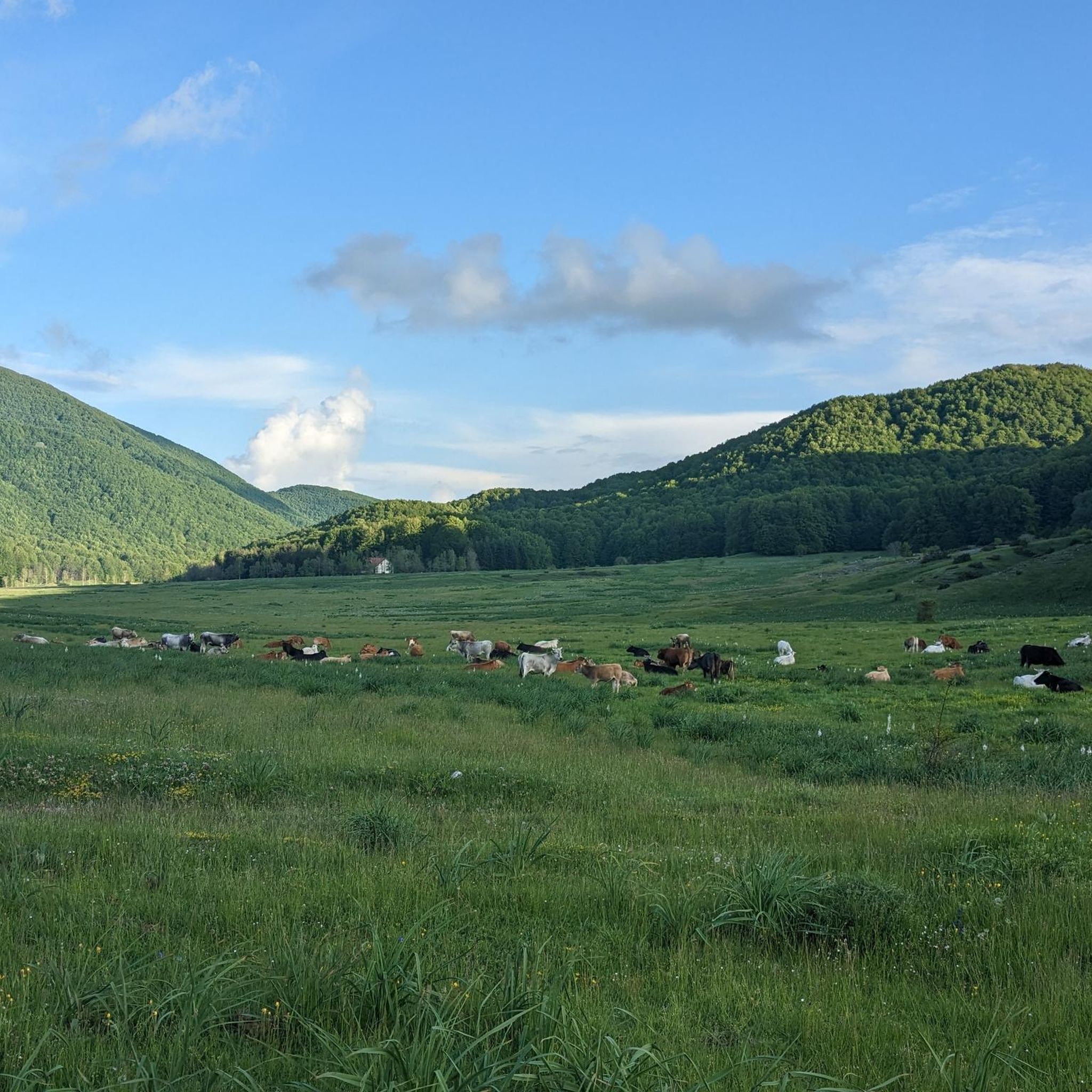
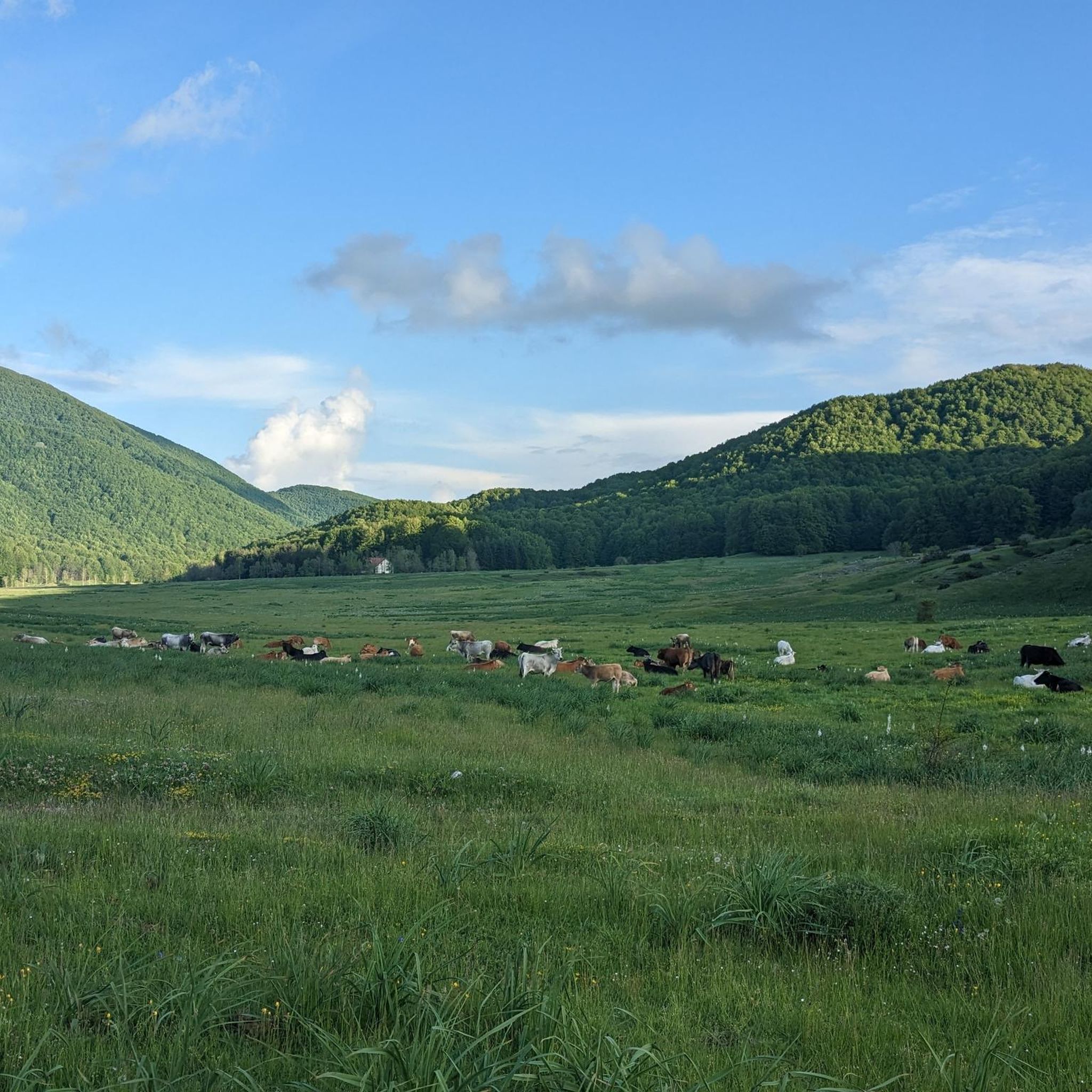
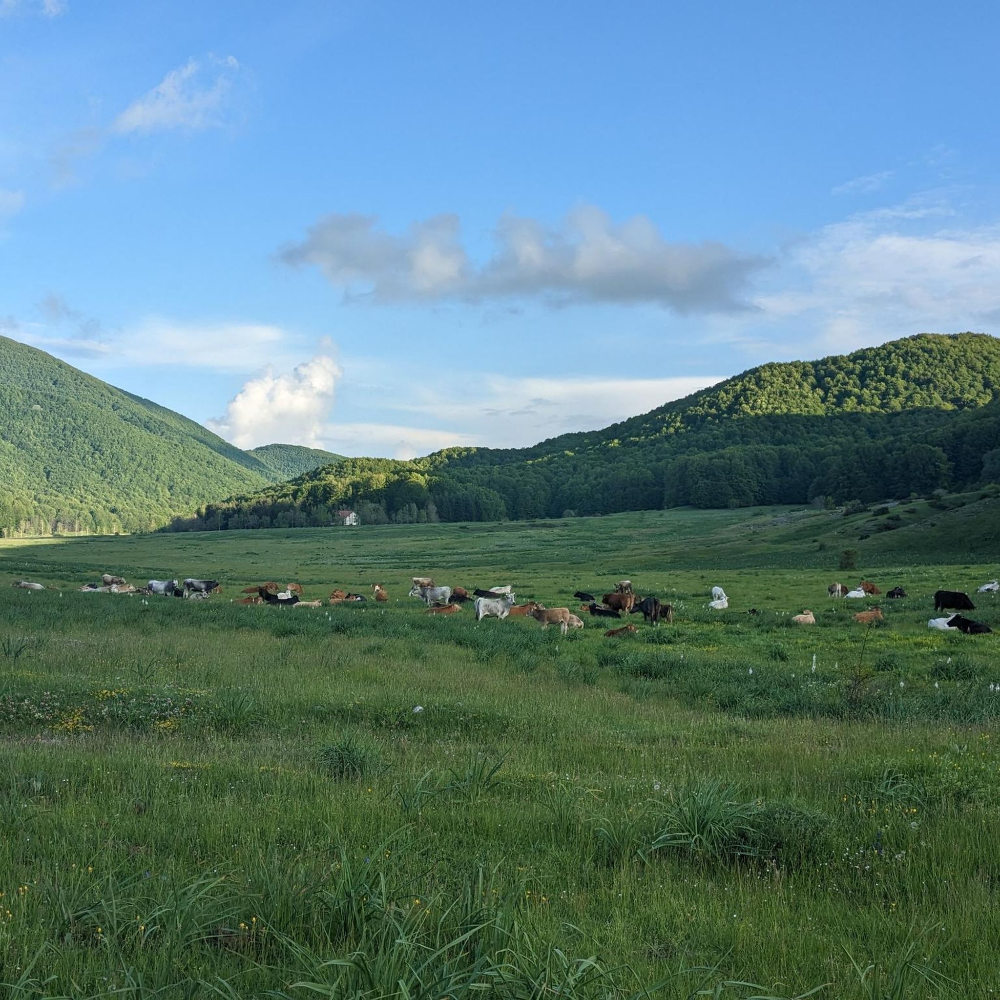
Other adventures around San Donato Di Ninea

Tips from the Community

Buonvicino, a municipality in Calabria, has historical roots that extend back to ancient Greece. The name may derive from the Bombaci family or from the dialect word "bombaci," which means "snail." In the past, local communities dedicated themselves to pastoralism and agriculture. This territory was initially divided into three villages: Salvato, Tripidone and Trigiano. Continuous threats, including barbarian invasions, led to the formation of Buonvicino in the 13th century. Today, the town is famous for the statue of San Ciriaco Abate.
0
0

Lungro is the seat of the EPARCHY of the Italo-Albanians of Continental Italy; in the cathedral fine example of orthodox iconostasis. https://it.wikipedia.org/wiki/Cattedrale_di_Lungro
0
0

Arrived at the gates of Lungro, instead of going up the ramp on the left with indications for the cycle path in the direction of Acquaformosa, it is better to proceed towards the center of the town and continue on the main road; in this way you avoid that very hard uphill stretch which shortens by very little. Better to preserve strength in view of other asperities.
0
0
Lungro is a town of Arbëreshe tradition, seat of the Byzantine Eparchy which welcomes all the Albanian communities of Italy under its wing.
0
0
The loricate pines of the Pollino National Park are resilient and long-lived plants; among all, Italus stands out which with its 1235 years in 2023 is the oldest tree in Europe.
0
0


The Madonna della Neve Sanctuary is located at 757 meters and is dedicated to the Virgin of the Snow. This church today is a destination for pilgrims. From here it is possible to enjoy a panorama that includes the Gulf of Policastro, Sicily, the chain of the Apennines.
1
0
Frequently Asked Questions
How many running routes are available around San Donato di Ninea?
There are 5 dedicated running routes around San Donato di Ninea listed on komoot, offering a variety of experiences. While most are considered difficult, there is also a moderate option for those seeking a less strenuous run.
What kind of terrain can I expect on the jogging routes in San Donato di Ninea?
The terrain around San Donato di Ninea is quite varied, reflecting its location within the Pollino National Park. You can expect an 'up-and-down wonderland' with green mountains, dense woods of beech and oak, and mountainous paths. Many routes feature significant elevation changes, providing a good challenge for runners.
Are there challenging running routes for experienced runners?
Yes, San Donato di Ninea is an excellent destination for experienced runners seeking a challenge. Most of the routes are rated as difficult, featuring substantial elevation gains. For example, the Serra La Croce loop from Trifari covers 7.4 km with over 650 meters of elevation gain, offering a demanding workout amidst stunning scenery.
Are there any easier or more moderate jogging options in the area?
While many routes are challenging, there is a moderate option available. The San Sosti Village – San Sosti loop from San Sosti is a 7.6 km route with a more manageable elevation gain of around 174 meters, making it suitable for those looking for a less intense run.
What natural features or landmarks can I see while running near San Donato di Ninea?
The region is rich in natural beauty and historical sites. You can encounter breathtaking panoramas across the Esaro Valley, explore ancient chestnut groves, and discover features within the Pollino National Park. Notable natural highlights include the Pollino National Park itself, and various viewpoints like A breathtaking view.
Are there any waterfalls I can visit on a running route?
Yes, the area around San Donato di Ninea features beautiful waterfalls that can be incorporated into your outdoor excursions. You might discover the U Vugliu Waterfall or the Ficara Waterfall, offering picturesque spots to pause and enjoy nature.
Can I find circular jogging routes in San Donato di Ninea?
Yes, several of the running routes are designed as loops, allowing you to start and end in the same location. Examples include the Verbicaro and Abatemarco River Loop and the View of Buonvicino – Buonvicino Village loop from Buonvicino, providing convenient options for your run.
When is the best time of year to go running in San Donato di Ninea?
The region's mountainous climate means spring and autumn generally offer the most pleasant conditions for running, with milder temperatures and vibrant natural scenery. Summer can be warm, especially at lower elevations, while winter brings cooler temperatures and potential for snow at higher altitudes within the Pollino National Park.
Are the running trails in San Donato di Ninea suitable for families?
Given the prevalence of difficult routes with significant elevation, many trails might be challenging for younger children or families seeking very easy walks. However, the moderate San Sosti Village – San Sosti loop from San Sosti could be a more suitable option for active families, or you might consider shorter sections of trails.
What do other runners enjoy most about jogging in San Donato di Ninea?
Runners often praise the 'wild nature' experience and the breathtaking panoramas offered by the routes in San Donato di Ninea. The diverse terrain, from dense forests to mountain slopes, provides a rewarding challenge and stunning backdrops for outdoor activity.
Are there any long-distance running trails available?
For those looking for longer runs, the A breathtaking view – Lungro loop from Lungro offers a substantial distance of nearly 16 km, providing an extended experience through the scenic landscape.
Where can I find parking for the running routes?
While specific parking details for each route are best checked on the individual komoot tour pages, routes often start from or near villages like San Sosti, Lungro, or Buonvicino, where local parking facilities would typically be available. It's advisable to check the starting point of your chosen route for the most convenient parking options.
Most popular attractions around San Donato Di Ninea

Get inspired with the komoot mobile app


Explore more
Browse the best Running Trails & Routes in other regions.
