Haut Lieu Tectonique Suisse Sardona
Haut Lieu Tectonique Suisse Sardona
The best road cycling routes in Haut Lieu Tectonique Suisse Sardona
4.4
(955)
24,523
riders
135
rides
Road cycling routes in Haut Lieu Tectonique Suisse Sardona traverse a mountainous region characterized by dramatic peaks and lush valleys, showcasing unique geological formations like the Glarus thrust. This UNESCO World Heritage site features ancient rocks pushed over younger strata, creating an "upside down" geological appearance. The landscape is shaped by millennia of geological processes, including glacial activity, which has carved U-shaped valleys and fed crystal-clear rivers. Road cyclists can expect varied terrain, from valley roads to mountain passes, offering…
Last updated: November 9, 2026
5.0
(1)
6
riders
32.7km
02:11
1,050m
1,050m
Hard road ride. Very good fitness required. Mostly well-paved surfaces and easy to ride.
4.8
(25)
653
riders
91.7km
05:02
1,820m
1,820m
Hard road ride. Very good fitness required. Some segments of this route may be unpaved and difficult to ride.

4.6
(54)
1,750
riders
138km
05:30
510m
510m
Hard road ride. Very good fitness required. Some segments of this route may be unpaved and difficult to ride.
4.8
(42)
426
riders
43.4km
02:40
1,160m
1,160m
Hard road ride. Very good fitness required. Mostly well-paved surfaces and easy to ride.
4.9
(18)
327
riders
89.8km
04:50
1,590m
1,590m
Hard road ride. Very good fitness required. Some segments of this route may be unpaved and difficult to ride.
Get access to more routes and recommendations from other explorers.
Already have an account?
Our route recommendations are based on thousands of hikes, rides, and runs completed by other people on komoot.
Start today with a free account
Your next adventure awaits.
Popular around Haut Lieu Tectonique Suisse Sardona
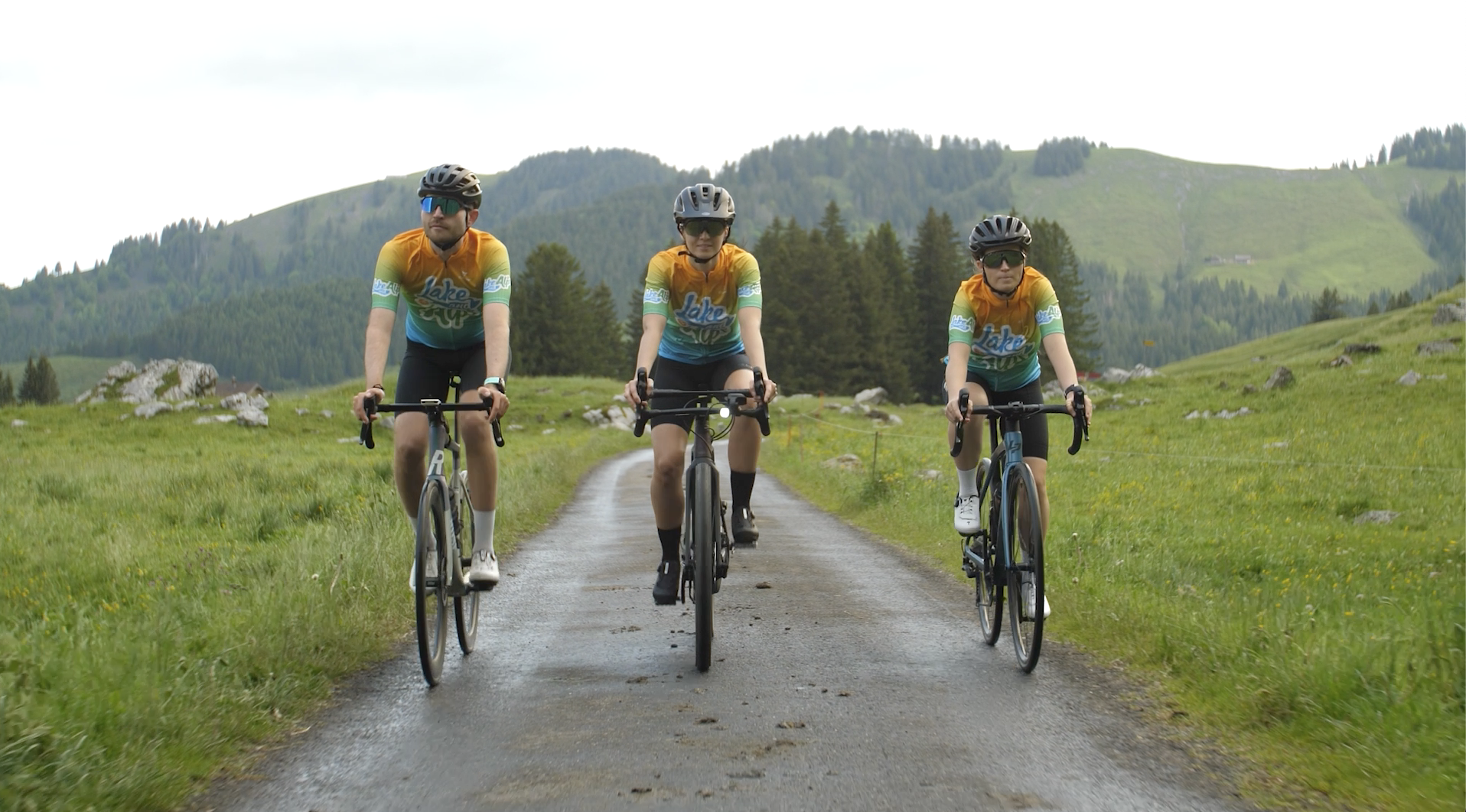
Lake and Alps Adventure – explore 100 dreamy places in our cycling region!
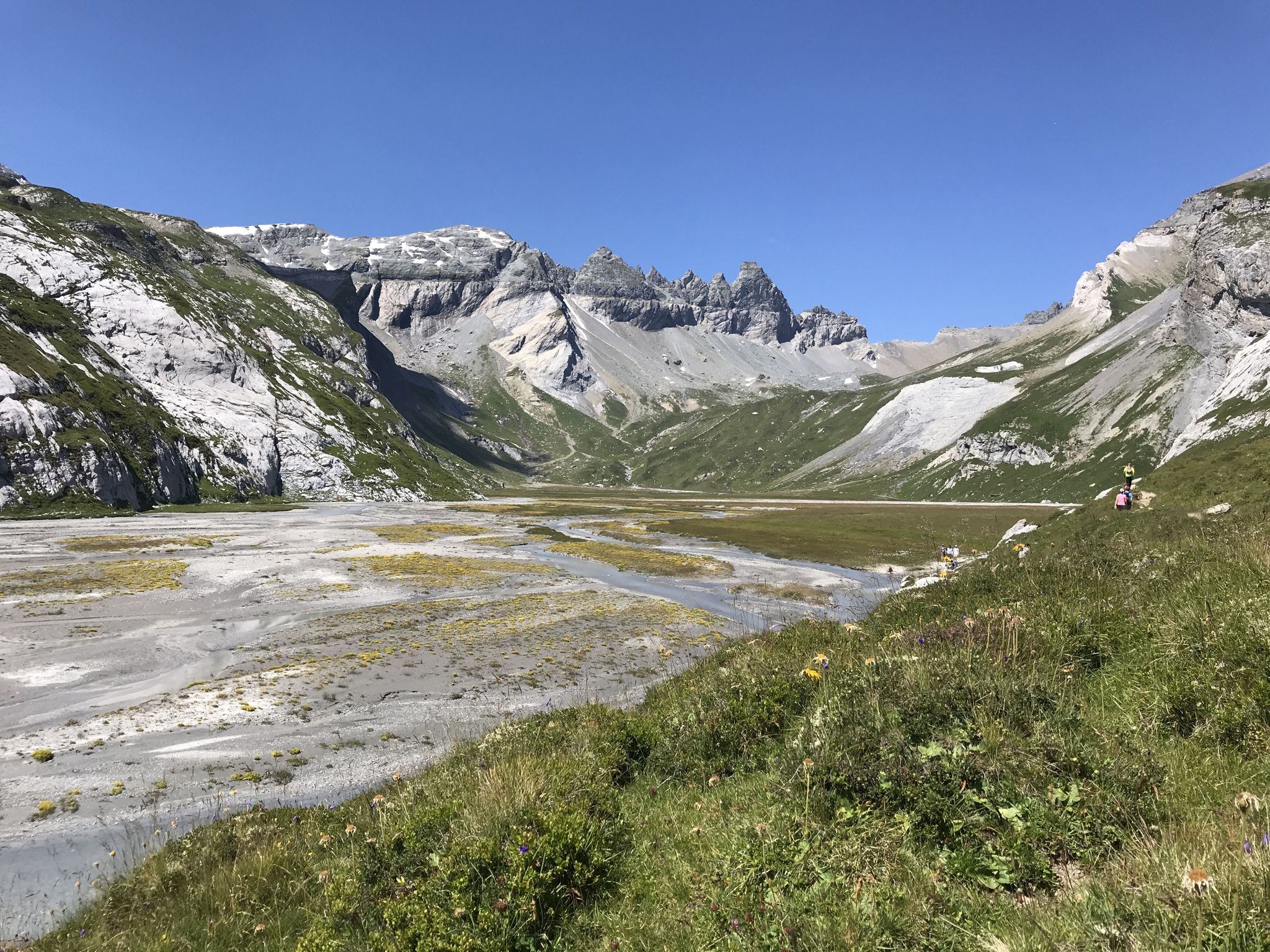
Sardona World Heritage Trail – Where the Alps once formed
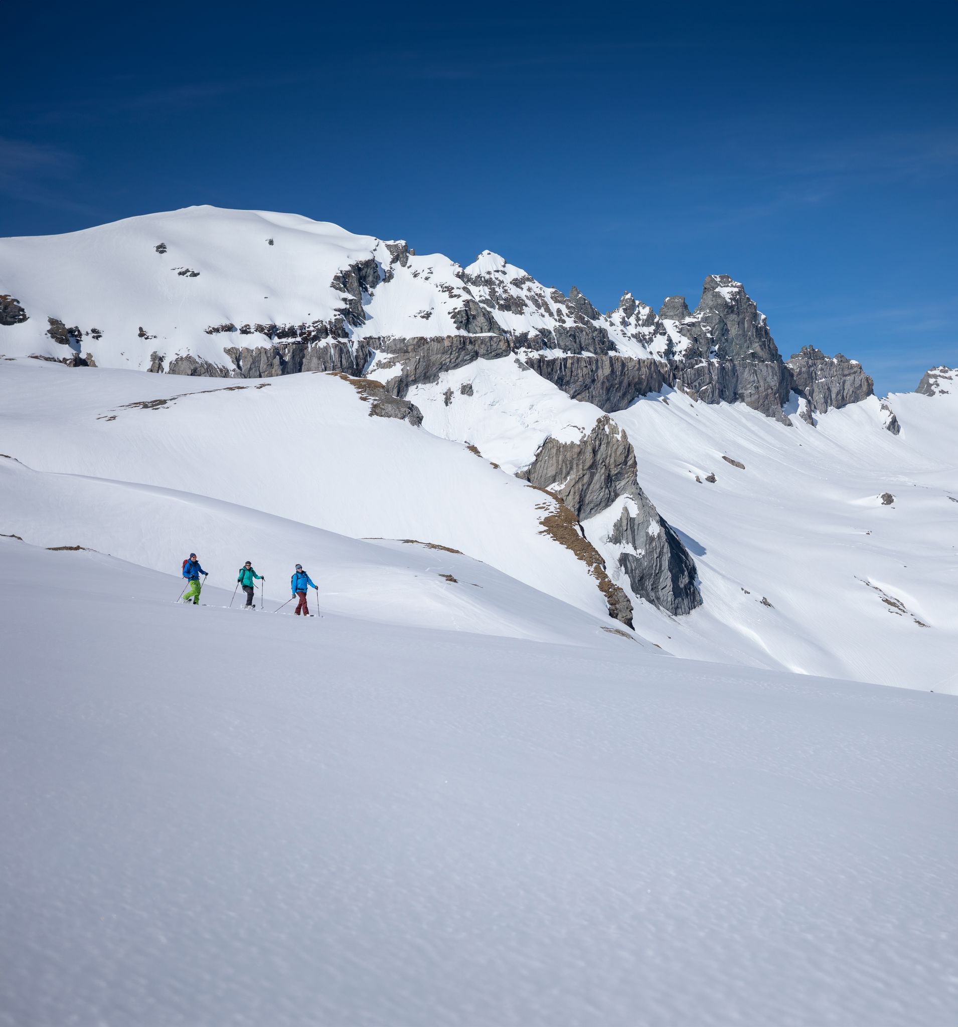
Stomp into winter bliss – snowshoeing in Flims Laax Falera
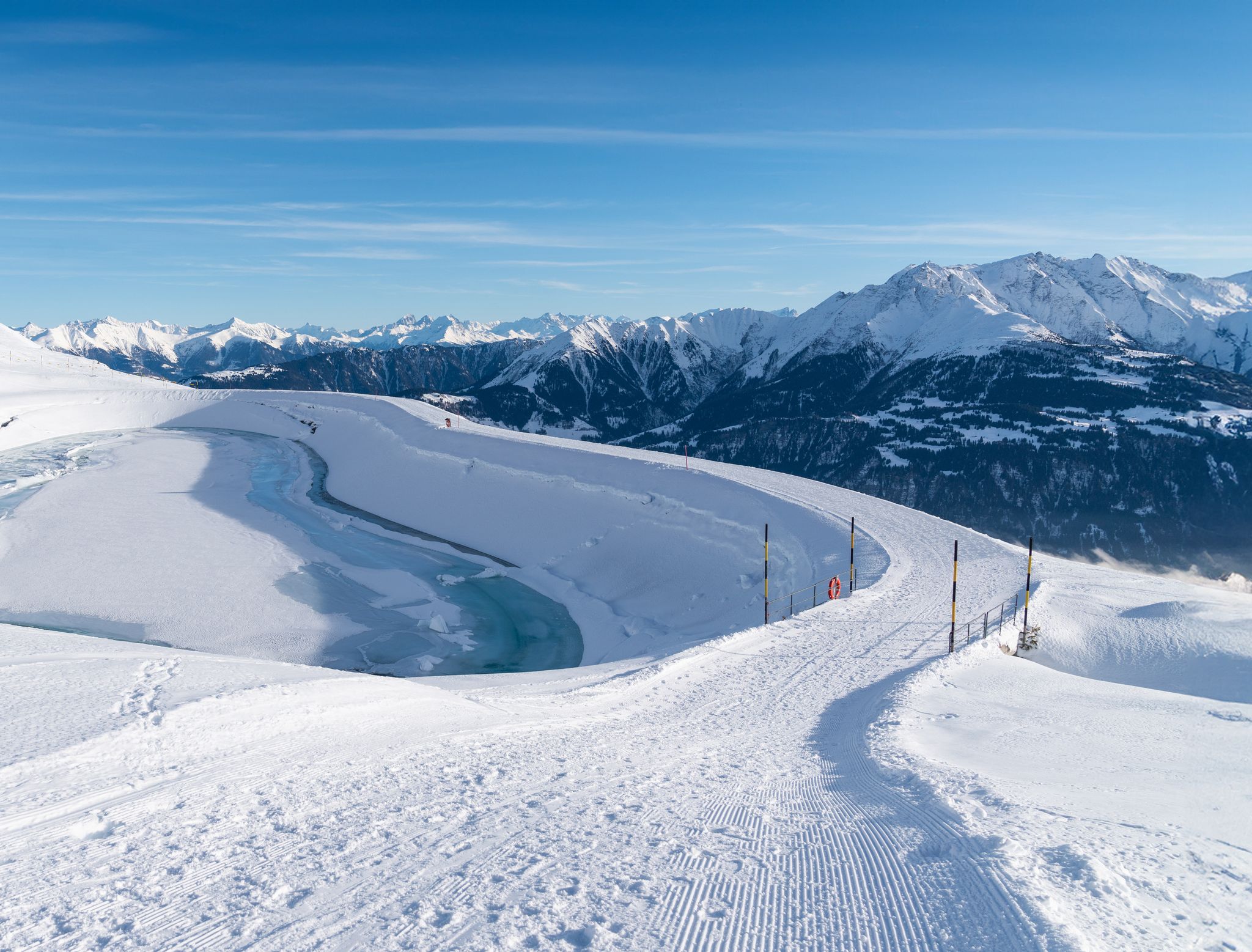
Winter hiking with a view in Flims Laax Falera in Switzerland
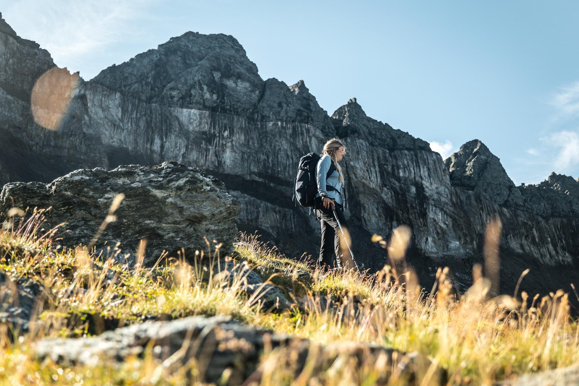
Hiking in the Swiss Tectonic Arena Sardona – Segnes Trek
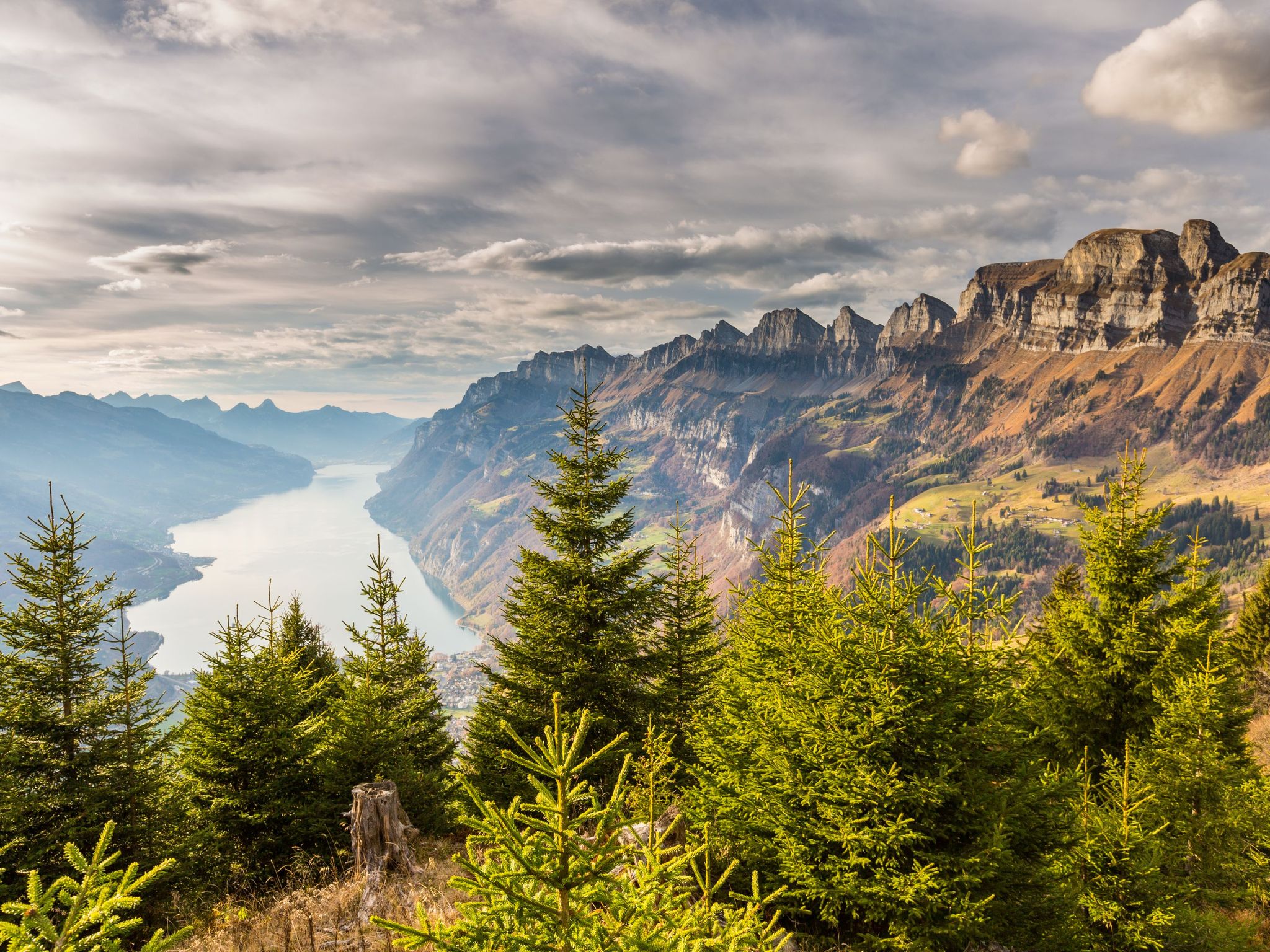
Blue lakes, wide panoramas & autumnal splendour – hiking in Heidiland
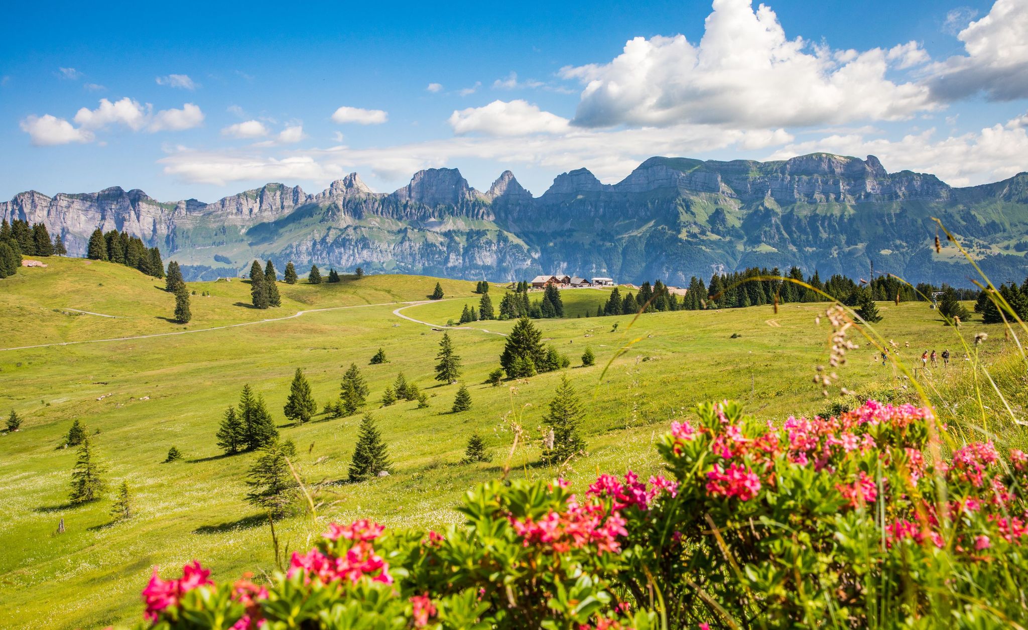
Pure Swiss mountain idyll – hikes in Heidiland
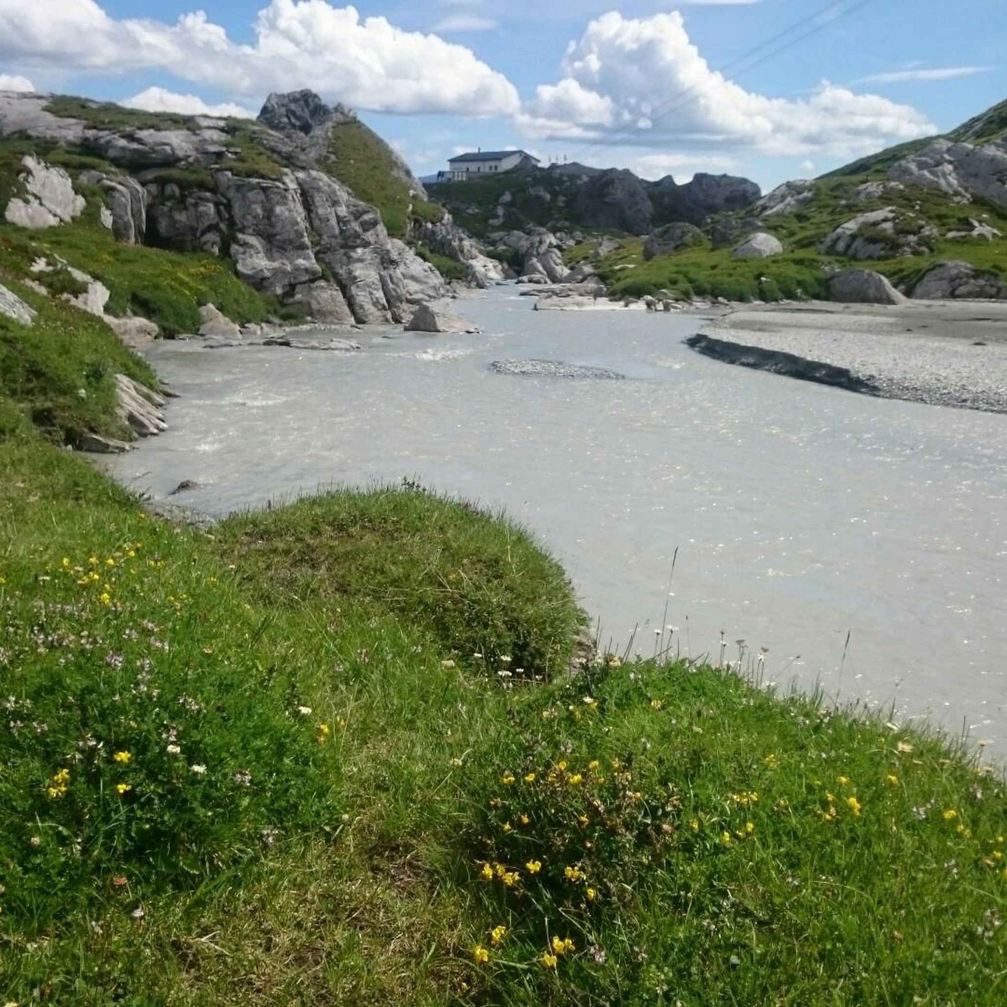
MTB Trails in Haut Lieu Tectonique Suisse Sardona
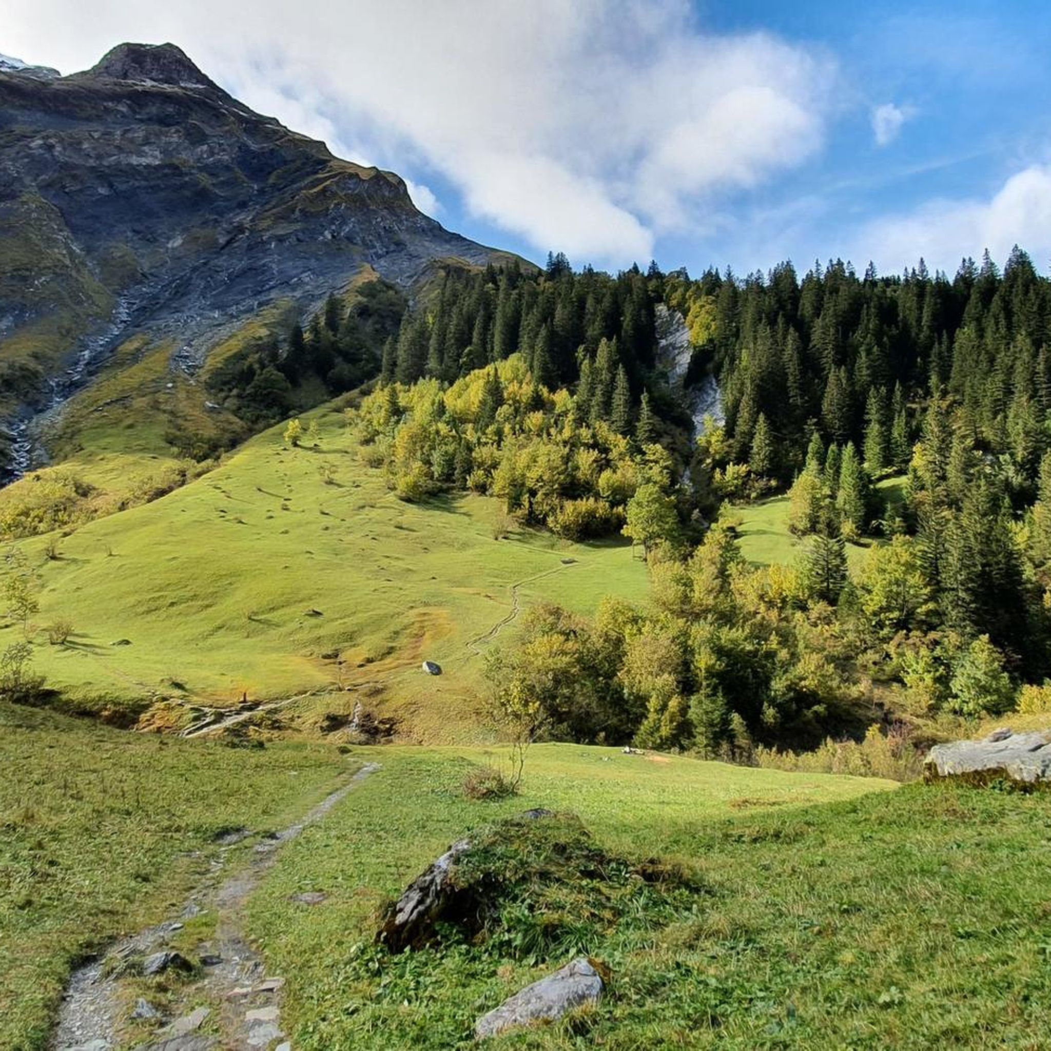
Hiking in Haut Lieu Tectonique Suisse Sardona

Gravel biking in Haut Lieu Tectonique Suisse Sardona
Other adventures in Haut Lieu Tectonique Suisse Sardona


Tips from the Community

Tourist office in the center of the canton of Glarus.
2
0

From the dam, the road leads through cool tunnels – this makes the ride a special experience. A good bike light is highly recommended on this section! 🔦
0
0

The Pragelpass road is meant.
0
0
Signposted cycle route down from the Ricken to Ernetschwil.
0
0

Part of the bike path, can also be ridden with a touring bike: Caution: steep sections!
0
0

Good opportunity to change sides...
0
0
Frequently Asked Questions
How many road cycling routes are available in Haut Lieu Tectonique Suisse Sardona?
There are over 130 road cycling routes available in Haut Lieu Tectonique Suisse Sardona, offering a wide range of options for different skill levels and preferences.
What is the best time of year for road cycling in the Sardona region?
The best time for road cycling in the Sardona region is typically during the warmer months, from late spring to early autumn. This period offers more stable weather conditions and ensures mountain passes are clear of snow, providing access to the full network of routes.
What are the difficulty levels of road cycling routes in Haut Lieu Tectonique Suisse Sardona?
The routes in Haut Lieu Tectonique Suisse Sardona cater to various difficulty levels. You'll find 22 easy routes, 76 moderate routes, and 40 difficult routes, ranging from valley rides to challenging alpine ascents with significant elevation gain.
Are there any circular road cycling routes in the region?
Yes, many road cycling routes in the region are designed as loops. For example, the Start of the Klausen Pass – Urnerboden Plateau loop from Elm offers a challenging circular tour through alpine scenery, and the Meilen Ferry Terminal – Schmerikon Lakeside loop from Glarus provides extensive lakeside riding.
What unique geological features can I expect to see while road cycling in Haut Lieu Tectonique Suisse Sardona?
The region is a UNESCO World Heritage site, showcasing the extraordinary 'Glarus thrust' where older rocks are pushed over younger ones, making the mountains appear geologically 'upside down'. You'll witness dramatic mountain peaks, lush valleys, and landscapes shaped by millennia of geological processes and glacial activity.
Are there any notable natural attractions or viewpoints along the road cycling routes?
Yes, the region offers stunning natural attractions. While cycling, you might encounter crystal-clear lakes like Wildseeluggen or Schottensee. The Tectonic Arena Sardona itself is a major highlight, and you could also spot impressive waterfalls like the Segnesboden Waterfall.
Is parking available for road cyclists in the Sardona region?
Parking facilities are generally available in towns and villages throughout the Sardona region, such as Glarus or Elm, which serve as common starting points for many routes. Specific parking information for individual routes can often be found on their respective komoot tour pages.
How can I reach the road cycling routes using public transport?
The Sardona region is integrated into the Swiss public transport network. Many towns like Glarus are accessible by train, and local bus services can connect you to various starting points for road cycling routes. SwitzerlandMobility provides comprehensive information on national and regional routes that often link with public transport hubs.
Are there cafes or accommodation options near the road cycling routes?
Yes, you'll find various cafes, restaurants, and accommodation options in the towns and villages throughout the region, such as Flims, Laax, Falera, and Glarus. These provide convenient stops for refreshments or overnight stays, especially after longer rides like the Klöntalersee – Pragel Pass loop from Glarus.
Are there family-friendly road cycling routes in Haut Lieu Tectonique Suisse Sardona?
While many routes in the mountainous Sardona region are challenging, there are also easier, flatter sections, particularly in the valleys, that can be suitable for families. Look for routes categorized as 'easy' on komoot, which typically have less elevation gain and are shorter in distance.
What do other road cyclists say about their experience in Haut Lieu Tectonique Suisse Sardona?
The road cycling routes in Haut Lieu Tectonique Suisse Sardona are highly rated by the komoot community, with an average score of 4.5 stars from over 600 reviews. Cyclists often praise the dramatic mountain scenery, the unique geological formations, and the diverse terrain that offers both challenging climbs and scenic valley rides.
Are there any permits required for road cycling in Haut Lieu Tectonique Suisse Sardona?
Generally, no specific permits are required for road cycling on public roads and designated cycle paths within the Haut Lieu Tectonique Suisse Sardona region. However, always respect local regulations and private property signs, especially when venturing off marked routes.
Most popular routes in Haut Lieu Tectonique Suisse Sardona
Most popular attractions in Haut Lieu Tectonique Suisse Sardona

Get inspired with the komoot mobile app


Explore more
Browse the best Road cycling routes in other regions.
