Haut Lieu Tectonique Suisse Sardona
Haut Lieu Tectonique Suisse Sardona
The best traffic-free bike rides in Haut Lieu Tectonique Suisse Sardona
4.6
(224)
2,253
riders
64
rides
No traffic gravel bike trails in Haut Lieu Tectonique Suisse Sardona traverse a UNESCO World Heritage site, characterized by dramatic geological formations such as the Glarus Thrust. The region features varied terrain, including glacier-polished rock, moraines, and alpine roads, shaped by millions of years of tectonic activity and glacial forces. Riders encounter a mix of flowing sections and technical passages across its extensive mountainous area. The landscape offers diverse surfaces ideal for gravel biking, from gravel tracks to hidden forest…
Last updated: November 13, 2026
4.4
(8)
67
riders
54.3km
04:17
1,420m
1,420m
Hard gravel ride. Very good fitness required. Mostly paved surfaces.
4.0
(3)
34
riders
68.0km
03:33
380m
380m
Moderate gravel ride. Good fitness required. Mostly paved surfaces.

4.5
(2)
11
riders
26.3km
02:42
1,060m
1,060m
Hard gravel ride. Very good fitness required. Mostly paved surfaces.
4.5
(2)
8
riders
23.7km
02:00
640m
640m
Hard gravel ride. Very good fitness required. You may need to push your bike for some segments of this route.
1
riders
11.2km
00:51
210m
210m
Moderate gravel ride. Good fitness required. Mostly paved surfaces.
Get access to more routes and recommendations from other explorers.
Already have an account?
Our route recommendations are based on thousands of hikes, rides, and runs completed by other people on komoot.
Start today with a free account
Your next adventure awaits.
Popular around Haut Lieu Tectonique Suisse Sardona
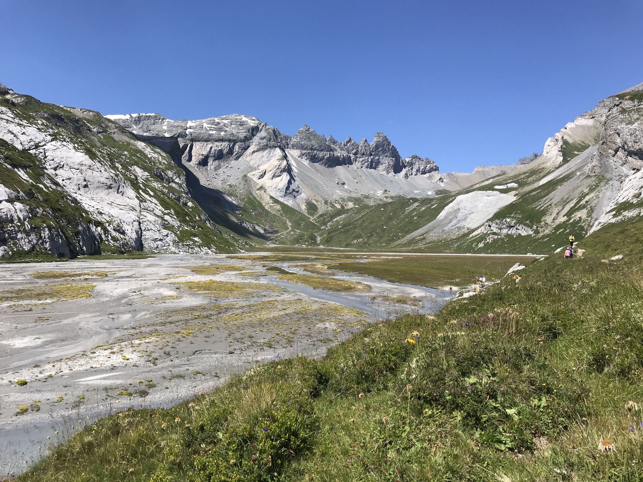
Sardona World Heritage Trail – Where the Alps once formed
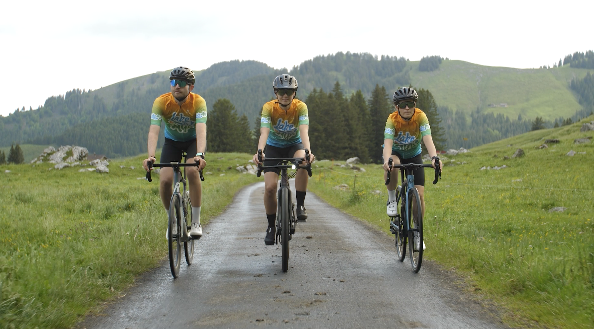
Lake and Alps Adventure – explore 100 dreamy places in our cycling region!
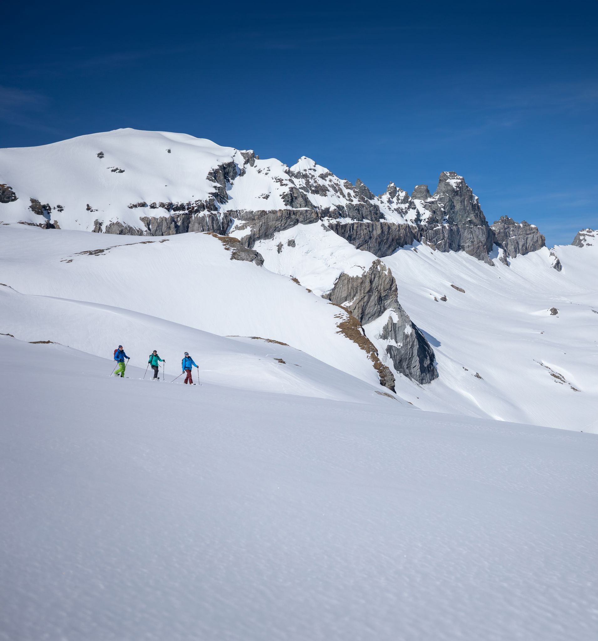
Stomp into winter bliss – snowshoeing in Flims Laax Falera
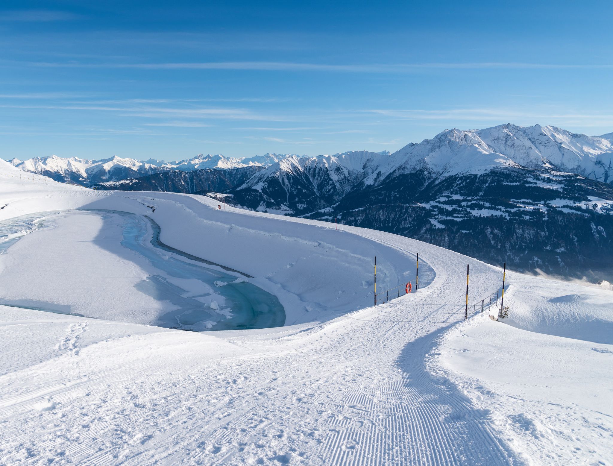
Winter hiking with a view in Flims Laax Falera in Switzerland
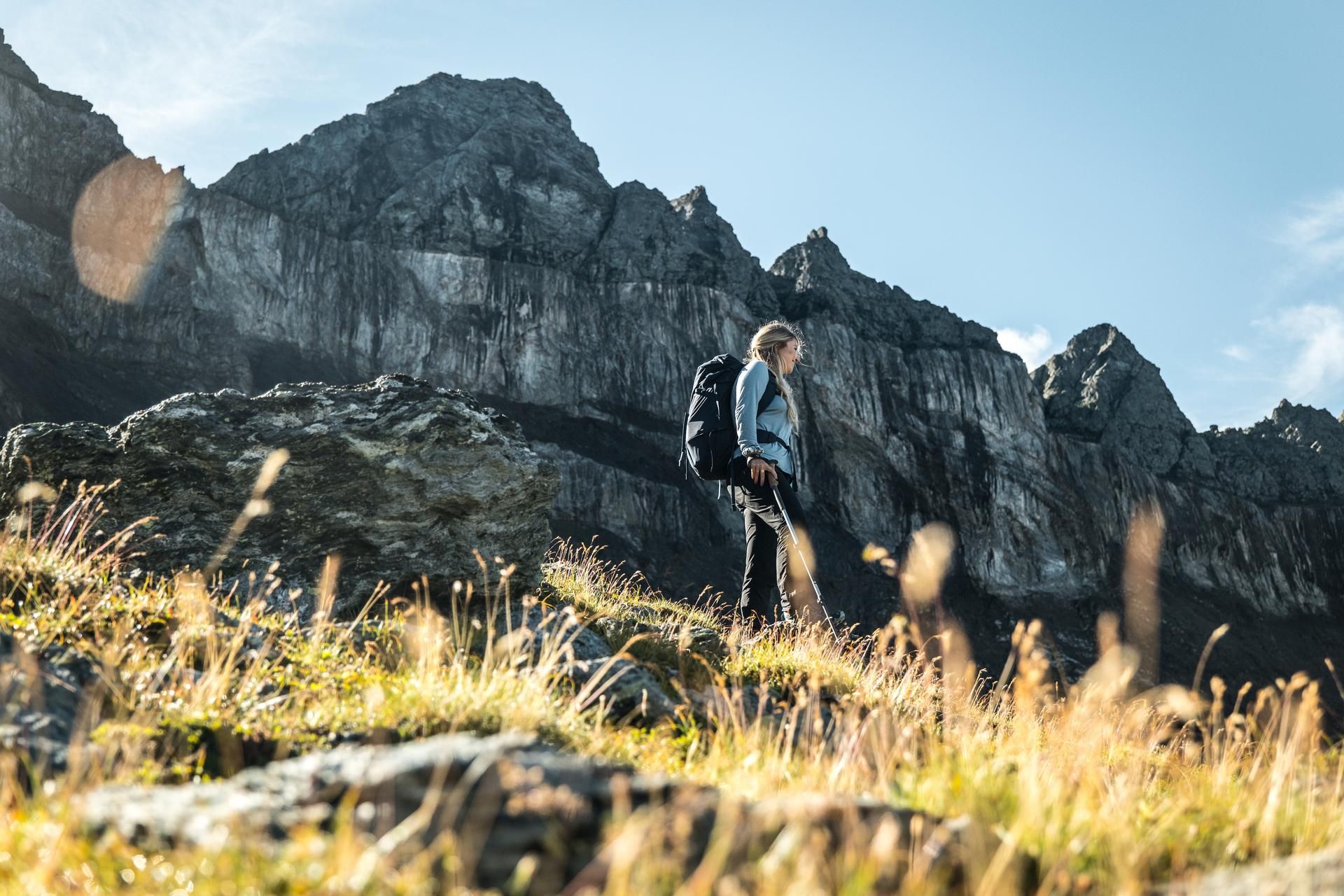
Hiking in the Swiss Tectonic Arena Sardona – Segnes Trek
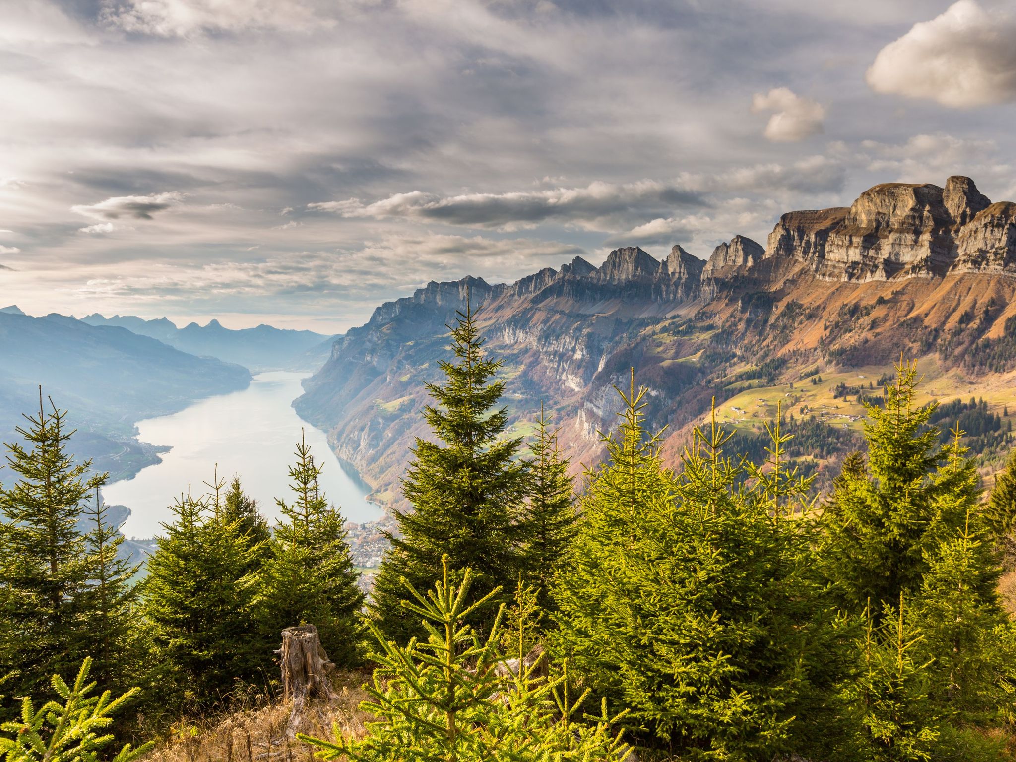
Blue lakes, wide panoramas & autumnal splendour – hiking in Heidiland
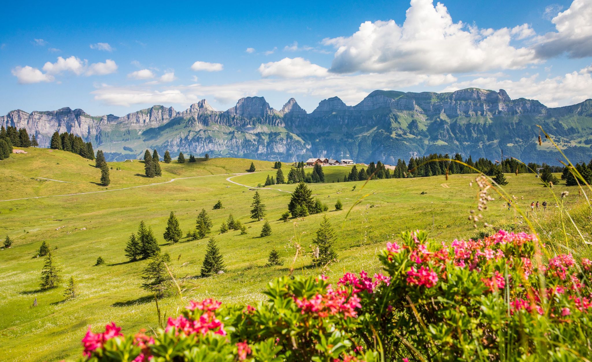
Pure Swiss mountain idyll – hikes in Heidiland

Traffic-free bike rides in Haut Lieu Tectonique Suisse Sardona
Traffic-free bike rides in Haut Lieu Tectonique Suisse Sardona
Other adventures in Haut Lieu Tectonique Suisse Sardona


Tips from the Community

Historic railway bridge over the Linth. Unfortunately not passable on foot.
2
0
Nice pub if it's open.
2
0
Beautiful route, mostly unpaved but also without cars.
2
0
Located right next to the Linth, this tip. That's why you can also see the river.
2
0
Glider pilots, hobby pilots and Rega are the main users of this airfield.
2
0
Superlative signposts in Glarnerland.
1
0
The Luchsingen-Brunnenberg cable car is used by tb.glarus for the maintenance of the power plant facilities. In addition, the cable car is used for tourism purposes and takes recreational athletes and hikers to an attractive starting point in a popular hiking area.
1
0
The Luchsingen-Brunnenberg cable car is used by tb.glarus for the maintenance of the power plant facilities. In addition, the aerial tramway is used for tourism and takes recreational athletes and hikers to an attractive starting point in a popular hiking area.
1
0
Frequently Asked Questions
How many no traffic gravel bike trails are available in Haut Lieu Tectonique Suisse Sardona?
There are over 60 dedicated no traffic gravel bike trails in the Haut Lieu Tectonique Suisse Sardona region. These routes offer a fantastic way to explore the unique geological landscape without vehicle interference.
What is the general difficulty level of these gravel bike trails?
The trails vary significantly in difficulty. While the majority, around 49 routes, are classified as difficult, there are also 15 moderate options and 2 easier trails. This range ensures that both seasoned gravel bikers and those newer to the sport can find suitable challenges.
Are there any family-friendly no traffic gravel bike routes?
Yes, while many routes are challenging, there are options suitable for families. For a moderate ride with varied views, consider the Linth Canal – Linth Canal loop from Glarus, which offers a relatively flat experience along the canal. Always check the route details for elevation and terrain to ensure it matches your family's skill level.
What natural wonders or landmarks can I expect to see along the trails?
The Haut Lieu Tectonique Suisse Sardona is a UNESCO World Heritage site, so you'll encounter stunning geological features. Look out for the dramatic Glarus Thrust, where older rock strata are pushed over younger ones. You might also spot the jagged Tschingelhörner mountains and the famous Martinsloch. For specific natural highlights, consider routes that pass near the Tschinglenschlucht Gorge or the Mürtschental Valley and Waterfalls.
Are there any circular gravel bike routes in the region?
Many of the no traffic gravel bike trails are designed as loops, allowing you to start and end at the same point. An example of a challenging loop is the Sool Village – Höfliegg Trail loop from Ennenda, offering diverse terrain and rewarding views.
What do other gravel bikers enjoy most about the trails in Haut Lieu Tectonique Suisse Sardona?
The komoot community highly rates the gravel biking experience here, with an average score of 4.6 stars from over 140 reviews. Riders often praise the unique geological formations, the stunning alpine panoramas, and the sense of exploration on varied terrain, from hidden forest paths to alpine roads, all while enjoying traffic-free conditions.
When is the best time of year to go gravel biking in this region?
The best time for gravel biking in Haut Lieu Tectonique Suisse Sardona is typically from late spring to early autumn (May to October). During these months, the weather is generally more stable, and higher-elevation trails are more likely to be free of snow. Always check local weather conditions before heading out, especially for routes in the high Alps.
Are there any routes that feature waterfalls?
Yes, the region is home to several beautiful waterfalls. While planning your ride, look for routes that pass near the Kathedrale Waterfall or explore the Mürtschental Valley and Waterfalls. These natural features provide refreshing stops and stunning photo opportunities.
Can I find routes with less elevation gain for an easier ride?
Absolutely. While the region is mountainous, there are routes with more manageable elevation profiles. For a moderate option with less climbing, consider the Caumasee – View of Flims loop from Flims, which offers beautiful scenery around the lake with a modest elevation gain.
Are there any cafes or places to rest along the no traffic gravel bike trails?
While many trails offer a remote experience, you'll find villages and towns near the starting points or along some routes where you can refuel. It's always a good idea to carry sufficient water and snacks, especially on longer or more remote trails. Check the komoot map for specific points of interest like cafes or restaurants along your chosen route.
What kind of terrain can I expect on these no traffic gravel bike trails?
The terrain is incredibly diverse, reflecting the region's geological history. You'll encounter a mix of gravel tracks, hidden forest paths, and alpine roads. Expect surfaces ranging from glacier-polished rock and moraines to dry grasslands and moorland, providing a varied and engaging ride for gravel bikes.
Are there any specific mountain passes accessible by gravel bike in the area?
Yes, the region features several mountain passes that can be incorporated into challenging gravel bike routes. Highlights include the Murgsee-Furggel Pass and the Foopass. These passes offer incredible views but often involve significant climbing and can be quite remote.
Most popular routes in Haut Lieu Tectonique Suisse Sardona
Most popular attractions in Haut Lieu Tectonique Suisse Sardona

Get inspired with the komoot mobile app


Explore more
Browse the best Gravel rides in other regions.
