The best walks and hikes in Sierras De Alcaparain Y Aguas
4.5
(2296)
19,803
hikers
166
hikes
Hiking trails in Sierras De Alcaparain Y Aguas traverse a landscape characterized by limestone formations, rolling hills, and Mediterranean scrubland. The region offers a variety of paths, from gentle ascents to more challenging mountain routes. These sierras provide a natural environment for outdoor activities, with routes often leading to panoramic viewpoints.
Best hiking trails in Sierras De Alcaparain Y Aguas
- The most popular hiking route is Pico Alcaparaín (El Grajo) loop from Puerto Martínez, a 5.1 miles (8.2 km)…
Last updated: May 23, 2026
5.0
(9)
50
hikers
8.04km
03:03
550m
550m
Moderate hike. Good fitness required. Easily-accessible paths. Suitable for all skill levels.
3.8
(5)
22
hikers
8.74km
03:14
550m
550m
Moderate hike. Good fitness required. Easily-accessible paths. Suitable for all skill levels.

Sign up for free
5.0
(1)
5
hikers
3.98km
01:21
200m
200m
Easy hike. Great for any fitness level. Easily-accessible paths. Suitable for all skill levels.
5.0
(2)
8
hikers
Moderate hike. Good fitness required. Easily-accessible paths. Suitable for all skill levels.
4.0
(1)
7
hikers
13.7km
04:15
530m
530m
Moderate hike. Good fitness required. Easily-accessible paths. Suitable for all skill levels.
Get access to more routes and recommendations from other explorers.
Sign up for free
Already have an account?
Our route recommendations are based on thousands of hikes, rides, and runs completed by other people on komoot.
Start today with a free account
Your next adventure awaits.
Login or Signup
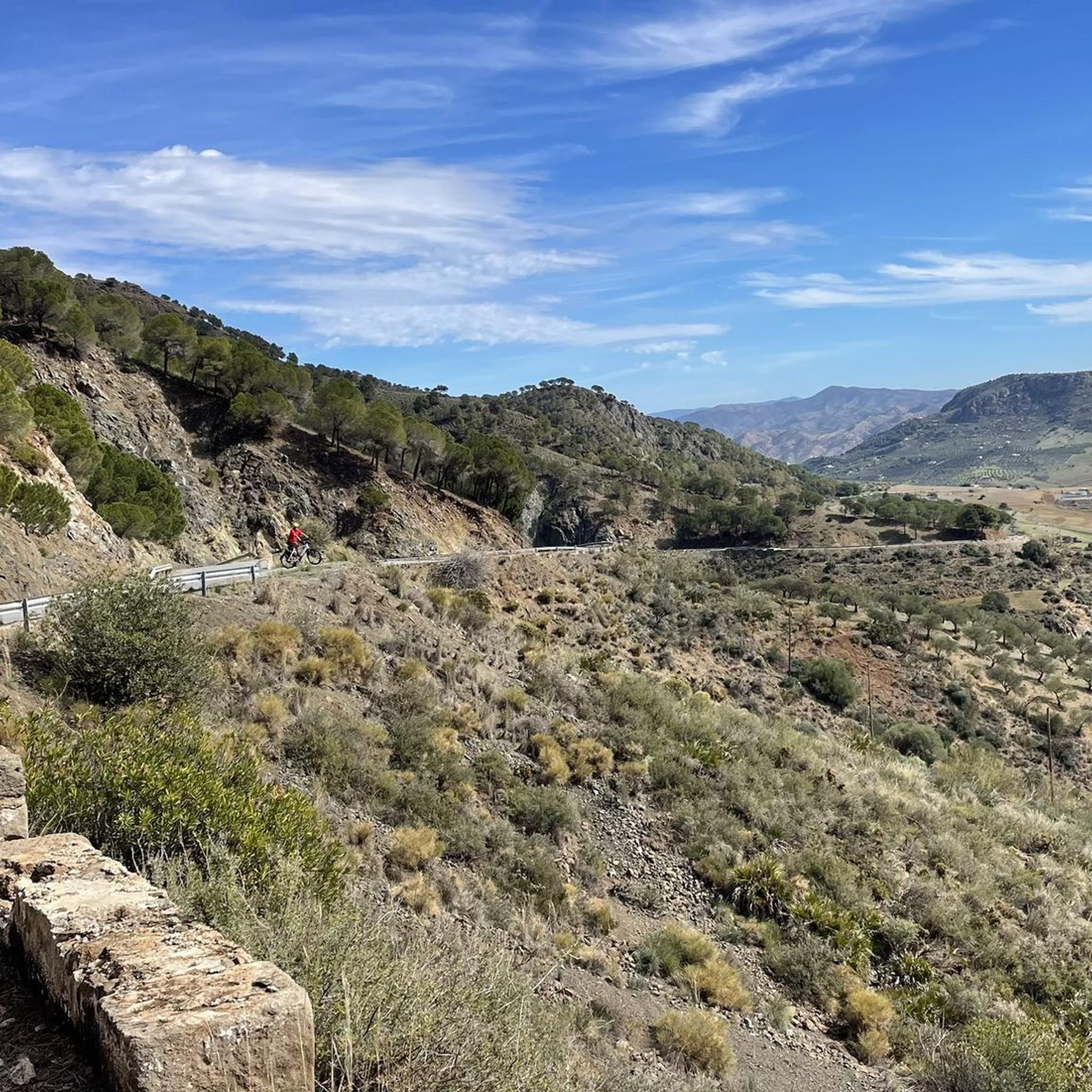
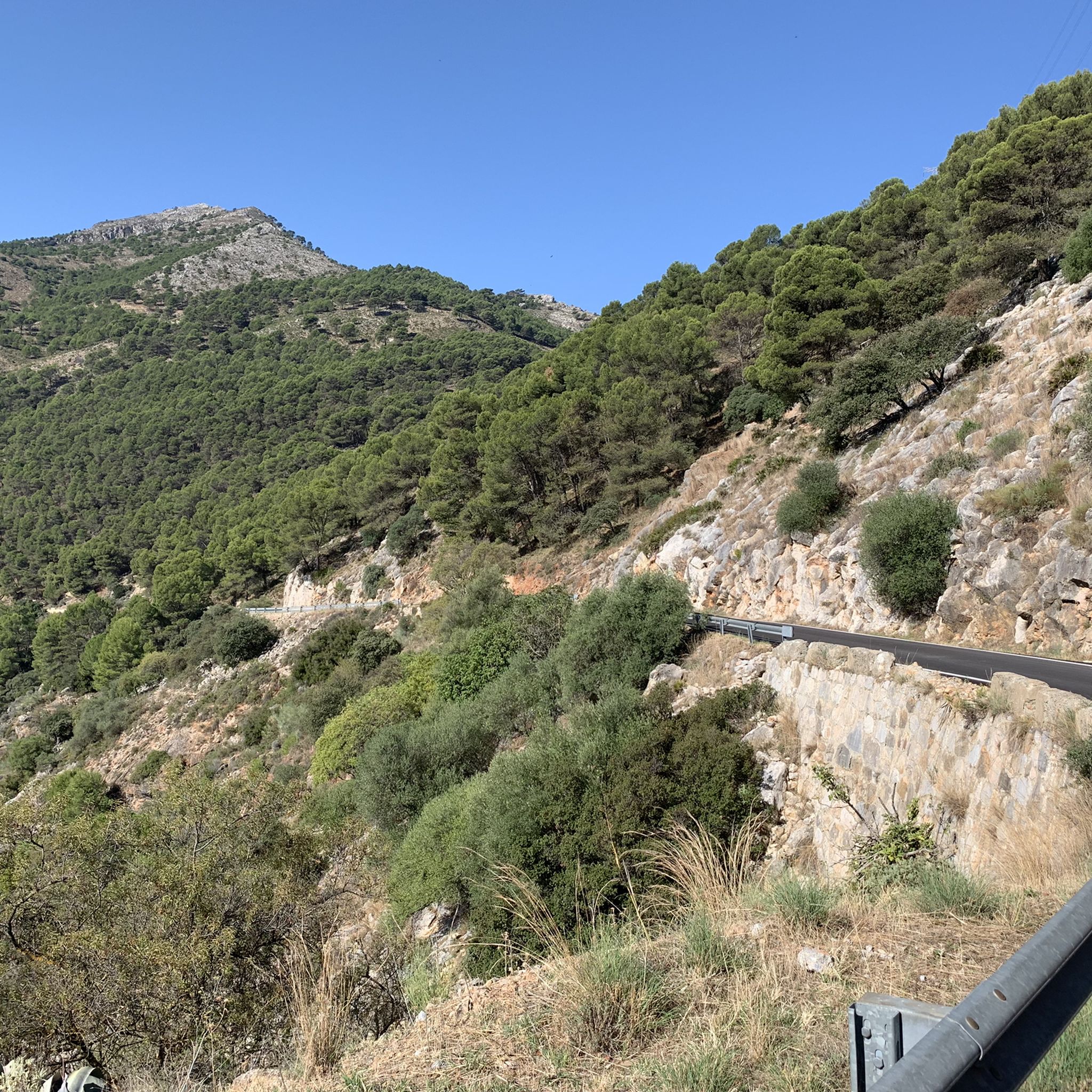
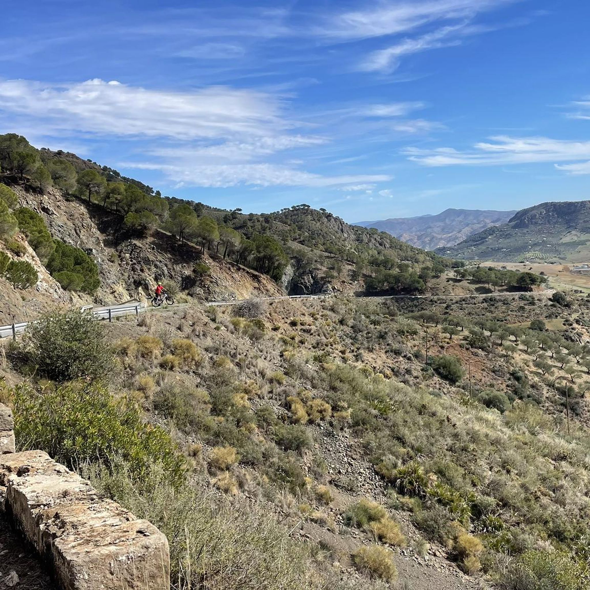
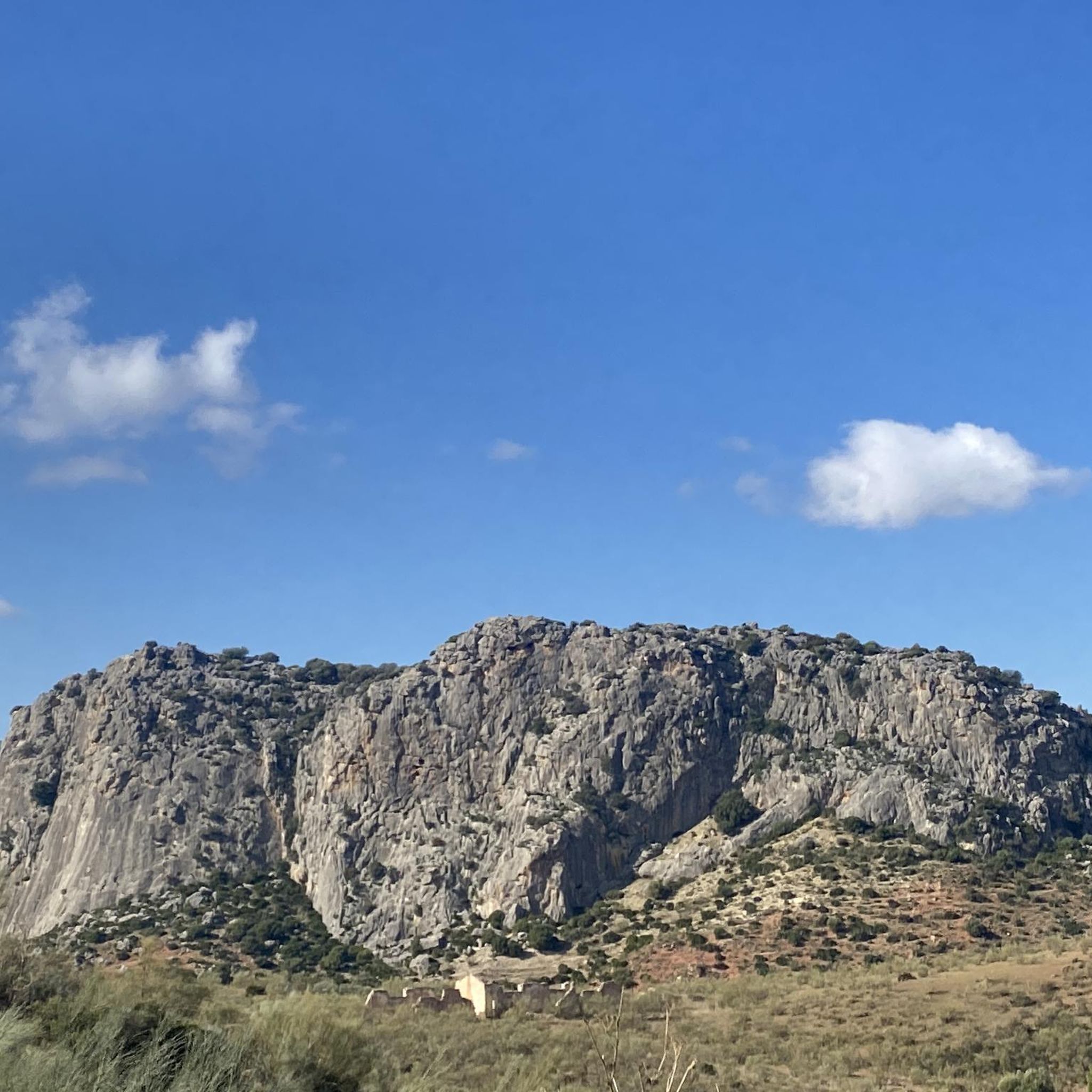
Tips from the Community

Nowadays water is rarely seen in the Fuente Madrid. This spring used to supply the farms of the surrounding mountains and fields.
1
0
From the Mirador Madrid you have a great view of the Sierra de Alpacaraín. On the other side you can see the Sierra de las Nieves.
2
0
Frequently Asked Questions
How many hiking trails are available in Sierras De Alcaparaín Y Aguas?
The Sierras De Alcaparaín Y Aguas region offers a diverse network of over 140 hiking trails. These range from easy strolls to more challenging mountain ascents, catering to various fitness levels.
Are there easy hikes suitable for beginners or families?
Yes, the region has a good selection of easy hikes perfect for beginners or families. For instance, the Sierra de Baños Trail loop from Carratraca is an easy 3.6-mile (5.8 km) route. Another accessible option is the Fuente Madrid – Mirador Madrid loop from Puerto Martínez, which is 2.5 miles (4.0 km) long and typically takes about 1 hour 20 minutes.
When is the best time of year to hike in Sierras De Alcaparaín Y Aguas?
The best time to hike in Sierras De Alcaparaín Y Aguas is generally during spring (March to May) and autumn (September to November). During these seasons, the weather is mild and pleasant, and the landscape is vibrant. Summer can be very hot, making early morning or late afternoon hikes preferable, while winter offers cooler temperatures but can have occasional rain.
Are there many circular hiking routes available?
Yes, many of the trails in Sierras De Alcaparaín Y Aguas are designed as circular routes, allowing you to start and end at the same point without retracing your steps. Examples include the popular Pico Alcaparaín (El Grajo) loop from Puerto Martínez and the Pico Alcaparaín (El Grajo) – Mirador Madrid loop from Puerto Martínez.
Can I hike with my dog in Sierras De Alcaparaín Y Aguas?
Generally, dogs are welcome on most hiking trails in Sierras De Alcaparaín Y Aguas, provided they are kept under control, especially around livestock or wildlife. Always carry water for your dog and be mindful of local regulations, particularly in protected natural areas where leashes might be mandatory.
What kind of terrain can I expect on the trails?
The terrain in Sierras De Alcaparaín Y Aguas is characterized by limestone formations, rolling hills, and Mediterranean scrubland. You'll encounter a mix of well-trodden paths, rocky sections, and dirt tracks, often leading through pine forests and open areas with panoramic views.
What do other hikers enjoy most about the trails in this region?
The komoot community highly rates the trails in Sierras De Alcaparaín Y Aguas, with an average score of 4.4 stars from over 2,000 reviews. Hikers frequently praise the stunning panoramic views, the tranquility of the natural environment, and the variety of routes available for different skill levels.
Are there any places to eat or drink near the trailheads?
While the trails themselves are primarily natural, you'll find small villages and towns like Carratraca or Álora nearby. These often have local restaurants, bars, or cafes where you can refuel before or after your hike. It's always a good idea to check opening hours, especially in smaller establishments.
Where can I find parking and trailheads for the hikes?
Many popular routes, such as those leading to Pico Alcaparaín, often start from designated areas like Puerto Martínez, where you can typically find parking. Smaller villages surrounding the sierras also serve as trailheads, usually with street parking available. Always check the specific route details on komoot for precise starting points and parking information.
Are permits required for hiking in Sierras De Alcaparaín Y Aguas?
For general hiking on established trails in Sierras De Alcaparaín Y Aguas, permits are typically not required. However, if you plan to access any privately owned land or specific protected natural reserves within the region, it's advisable to check for any specific access rules or permit requirements beforehand.
Is winter hiking possible in Sierras De Alcaparaín Y Aguas?
Winter hiking is definitely possible and can be quite enjoyable in Sierras De Alcaparaín Y Aguas, as temperatures are generally mild compared to more northern regions. While occasional rain can occur, snow is rare and usually light. Dress in layers and be prepared for cooler, potentially damp conditions, especially at higher elevations.
What is the typical duration of hikes in the region?
Hike durations vary significantly depending on the route's length and difficulty. Easy trails like the Fuente Madrid – Mirador Madrid loop can take around 1 hour 20 minutes, while moderate routes such as the Valdivia Peak or El Grajo – Pico Alcaparaín (El Grajo) loop, which is 8.9 miles (14.4 km), can take over 4 hours 50 minutes.
Most popular routes in Sierras De Alcaparain Y Aguas

Get inspired with the komoot mobile app


Explore more
Browse the best Hikes in other regions.
