The best gravel rides in Sierras De Alcaparain Y Aguas
4.8
(5)
61
riders
9
rides
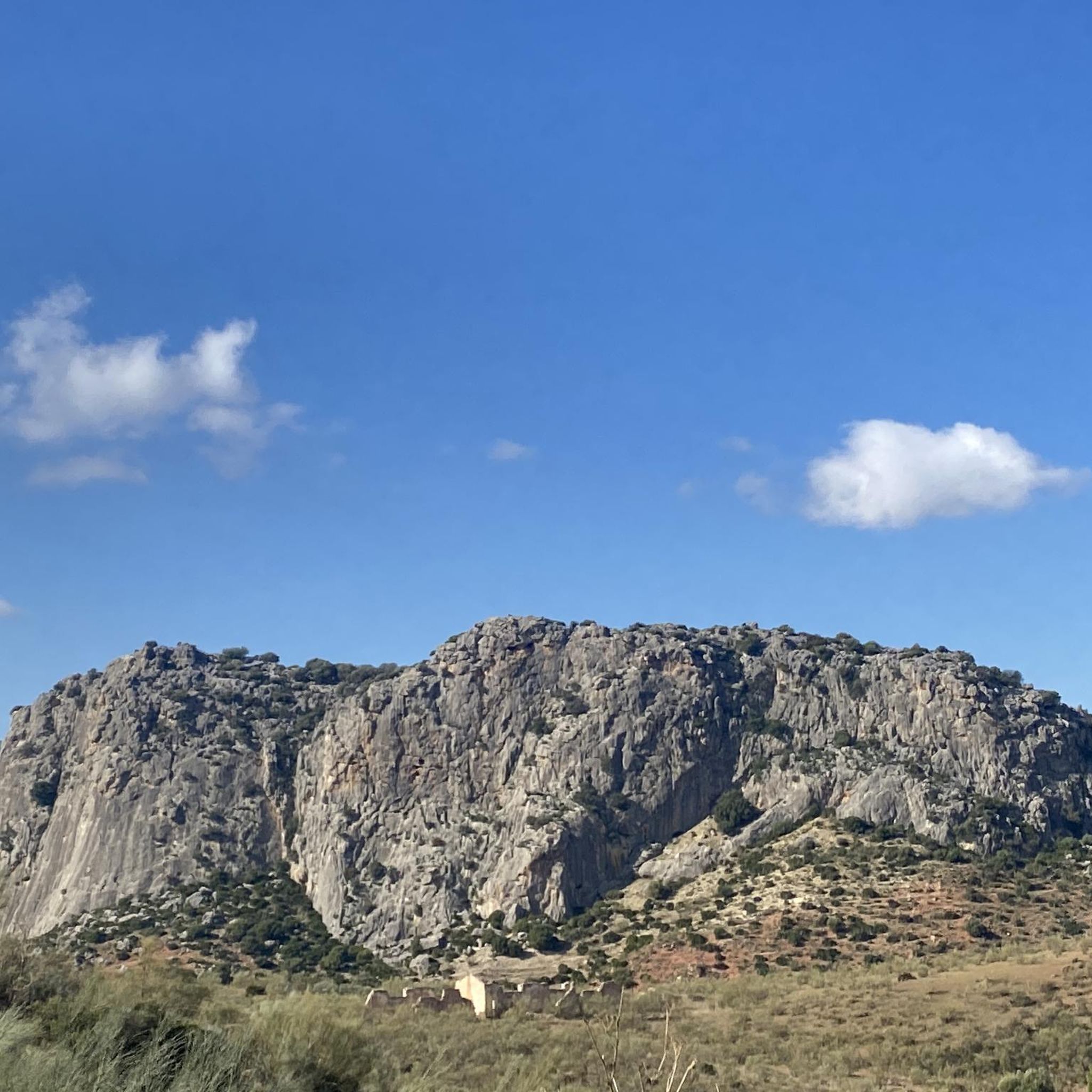
Gravel biking in Sierras De Alcaparain Y Aguas offers a diverse landscape characterized by significant mountainous formations and extensive mesetas. The region features a unique geological composition with varied soil types, supporting Mediterranean forests of pine, juniper, and mastic. A network of trails provides challenging climbs and rewarding descents, making it suitable for gravel biking exploration.
Best gravel bike trails in Sierras De Alcaparain Y Aguas
- The most popular gravel bike trail is View of Caminito del Rey – Caminito…
Last updated: May 11, 2026
5.0
(1)
12
riders
44.7km
03:32
1,140m
1,140m
Hard gravel ride. Very good fitness required. Mostly paved surfaces. Suitable for all skill levels.
3
riders
Hard gravel ride. Very good fitness required. Mostly paved surfaces. Suitable for all skill levels.

Sign up for free
5.0
(1)
12
riders
Hard gravel ride. Very good fitness required. Mostly paved surfaces. Suitable for all skill levels.
9
riders
61.5km
04:27
1,290m
1,290m
Hard gravel ride. Very good fitness required. Mostly paved surfaces. Suitable for all skill levels.
6
riders
48.4km
03:32
1,120m
1,120m
Hard gravel ride. Very good fitness required. Mostly paved surfaces. Suitable for all skill levels.
Get access to more routes and recommendations from other explorers.
Sign up for free
Already have an account?
Our route recommendations are based on thousands of hikes, rides, and runs completed by other people on komoot.
Start today with a free account
Your next adventure awaits.
Login or Signup
Tips from the Community

You can cycle right up to the viewpoint, it's worth it! ;)
1
0

Great view of the reservoir
4
0
You can't get enough of it.
5
0

On weekends, there is a lot of traffic, but beautiful scenery.
0
0
Beautiful views of the popular Caminito del Rey
1
0

This geological landmark is characterized by the confluence of two important geological zones: the internal zone of metamorphic rocks and the external zone of folded sedimentary rocks such as limestones and marls. These geological formations date from different geological eras and illustrate the complex development of the region during and after tectonic movements in the Miocene. Particularly striking are the so-called molasas – coarse-grained calcareous sandstones deposited in former reef areas. In addition to its geological diversity, the area also offers cultural features, such as the rock-hewn church and the remains of the Bobastro fortress. The combination of nature and history makes this place a special destination for those interested in natural history and culture.
7
0

The Garganta del Chorro is an impressive rock gorge in the region of Málaga. Also known as the Desfiladero de los Gaitanes, this gorge is over 5 kilometres long and 10 metres wide, with rock walls that are sometimes 400 metres high. The Guadalhorce River winds through it and ends in the Tajo de la Encantada reservoir. It is a popular spot for nature lovers and hikers, especially since the reopening of the Caminito del Rey in 2015
7
0
Point of interest Geological: Bobastro is an interesting place because of its unique geological features and the fact that it is a representative location for the geological history of Spain. It offers valuable insights into the geological processes that have shaped the region and the evolution of the landscape.
8
0
Frequently Asked Questions
What is the general difficulty level of gravel biking in Sierras De Alcaparain Y Aguas?
The Sierras De Alcaparain Y Aguas region is known for its challenging terrain. Out of 14 available gravel bike routes, 13 are classified as difficult, and one is moderate. There are no easy routes, so riders should be prepared for demanding climbs and descents.
How many gravel bike trails are available in Sierras De Alcaparain Y Aguas?
There are 14 gravel bike trails available in the Sierras De Alcaparain Y Aguas region. These routes offer diverse landscapes, from mountainous formations to extensive mesetas, providing a challenging and rewarding experience for gravel bikers.
What kind of terrain can I expect on gravel bike trails in Sierras De Alcaparain Y Aguas?
You can expect rugged and diverse terrain, characterized by significant mountainous formations and extensive mesetas like the Llanos de Alcaparaín. The region's unique geological composition results in varied soil types, and trails often wind through Mediterranean forests of pine, juniper, and mastic, offering challenging climbs and rewarding descents.
Are there any family-friendly gravel bike trails in Sierras De Alcaparain Y Aguas?
Given that 13 out of 14 routes are classified as difficult and there are no easy routes, the Sierras De Alcaparain Y Aguas region is generally not considered suitable for family-friendly gravel biking with young children or beginners. The terrain is more geared towards experienced riders seeking a challenge.
What natural features or landmarks can I see while gravel biking in the region?
The region offers spectacular views of mountainous formations, including Pico Valdivia (El Grajo) and Sierra Agua. You'll ride through Mediterranean forests, encounter unique geological formations, and may spot diverse wildlife. While not directly on a route, the famous Caminito del Rey area is a prominent feature near several trails, offering dramatic scenery.
What do other gravel bikers enjoy most about gravel biking in Sierras De Alcaparain Y Aguas?
The area is highly rated by the komoot community, with an average score of 5.0 stars from 2 reviews. Riders often praise the challenging mountainous terrain, the diverse landscapes, and the rewarding views. Over 55 gravel bikers have used komoot to explore the region's varied trails.
Are there any loop gravel bike trails in Sierras De Alcaparain Y Aguas?
Yes, several popular routes are loops. For instance, you can explore the View of Caminito del Rey – Caminito del Rey loop from Ardales, which is a difficult 44.7 km trail. Another option is the View of Caminito del Rey – Caminito del Rey loop from El Chorro-Caminito del Rey, a difficult 32.6 km path featuring varied terrain.
What is the best time of year to go gravel biking in Sierras De Alcaparain Y Aguas?
While specific seasonal conditions aren't detailed, the Mediterranean climate suggests that spring and autumn would likely offer the most pleasant temperatures for gravel biking. Summers can be very hot, and winters might bring cooler, potentially wetter conditions, especially at higher elevations.
Is it possible to access the gravel bike trails using public transport?
The region is characterized by its remote and rugged nature. While some nearby towns might have limited public transport connections, direct access to trailheads via public transport can be challenging. It's advisable to research specific routes and their starting points for public transport accessibility.
Are there any specific wildlife I might encounter while gravel biking?
The varied habitats, particularly rocky areas and forests, support diverse wildlife. You might spot notable avian species such as the golden eagle, Bonelli's eagle, peregrine falcon, and Eurasian eagle-owl. Mammals like the Spanish ibex and fox are also present in the region.
Where can I find parking for gravel biking in Sierras De Alcaparain Y Aguas?
Parking availability will vary depending on your chosen starting point. For routes near the Caminito del Rey area, such as the Caminito del Rey – View of Caminito del Rey loop from Álora, there are often designated parking areas for visitors. For more remote trailheads, roadside parking might be an option, but it's best to check specific route details or local information for exact locations.
Are there any cafes or restaurants near the gravel bike trails?
While the region is known for its remote beauty, some routes may pass through or near traditional white villages. These villages often offer local cafes and restaurants where you can refuel. It's recommended to plan your route and check for amenities in any towns you expect to pass through.
Most popular routes in Sierras De Alcaparain Y Aguas

Get inspired with the komoot mobile app


Explore more
Browse the best Gravel rides in other regions.
