Arroyo De Santiago, Salado De Morón Y Matabueyes/Garrapata
Arroyo De Santiago, Salado De Morón Y Matabueyes/Garrapata
The best running trails in Arroyo De Santiago, Salado De Morón Y Matabueyes/Garrapata
4.3
(5)
442
runners
52
runs
Jogging in Arroyo De Santiago, Salado De Morón Y Matabueyes/Garrapata offers routes through diverse landscapes shaped by the Salado de Morón Stream. The region features riparian woodland vegetation along the stream banks, alongside patches of Mediterranean woodland and scrub. Geological formations, including clay and gypsum deposits in the Tajos de Mogarejo area, contribute to the varied terrain. Established paths, including sections of the Sierra Sur Greenway and Camino de Santiago, provide accessible options for running.
Best jogging routes in Arroyo…
Last updated: August 6, 2026
29
runners
Hard run. Very good fitness required. Mostly paved surfaces. Suitable for all skill levels.
3
runners
7.33km
00:53
270m
270m
Moderate run. Good fitness required. Mostly paved surfaces. Suitable for all skill levels.

Sign up for free
5.0
(1)
59
runners
15.3km
02:05
560m
560m
Hard run. Very good fitness required. Mostly accessible paths. Some sure footedness required.
20
runners
12.8km
01:44
540m
540m
Hard run. Very good fitness required. Mostly paved surfaces. Suitable for all skill levels.
11
runners
13.5km
01:37
160m
160m
Moderate run. Good fitness required. Mostly paved surfaces. Suitable for all skill levels.
Get access to more routes and recommendations from other explorers.
Sign up for free
Already have an account?
Our route recommendations are based on thousands of hikes, rides, and runs completed by other people on komoot.
Start today with a free account
Your next adventure awaits.
Login or Signup
Popular around Arroyo De Santiago, Salado De Morón Y Matabueyes/Garrapata
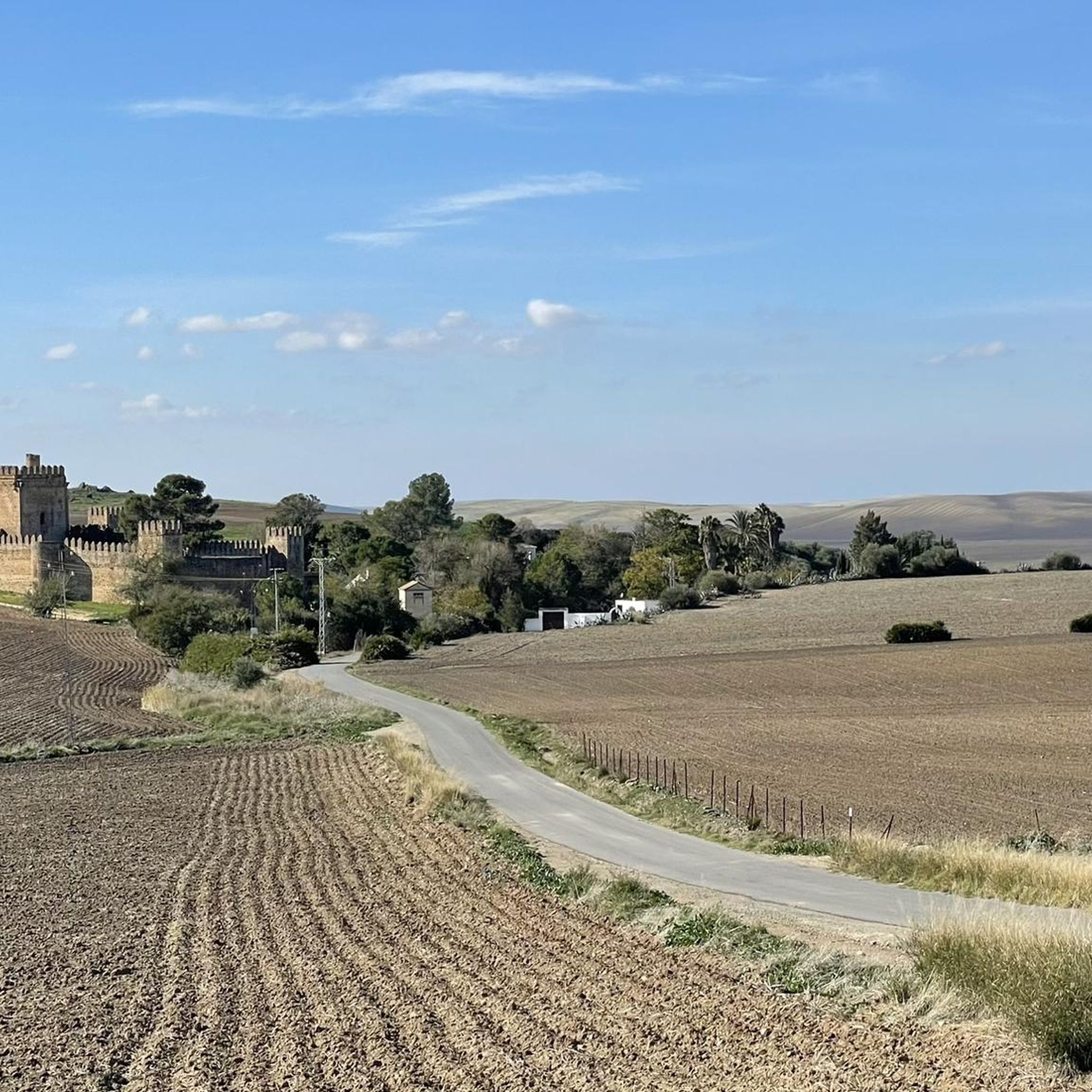
Hiking in Arroyo De Santiago, Salado De Morón Y Matabueyes/Garrapata
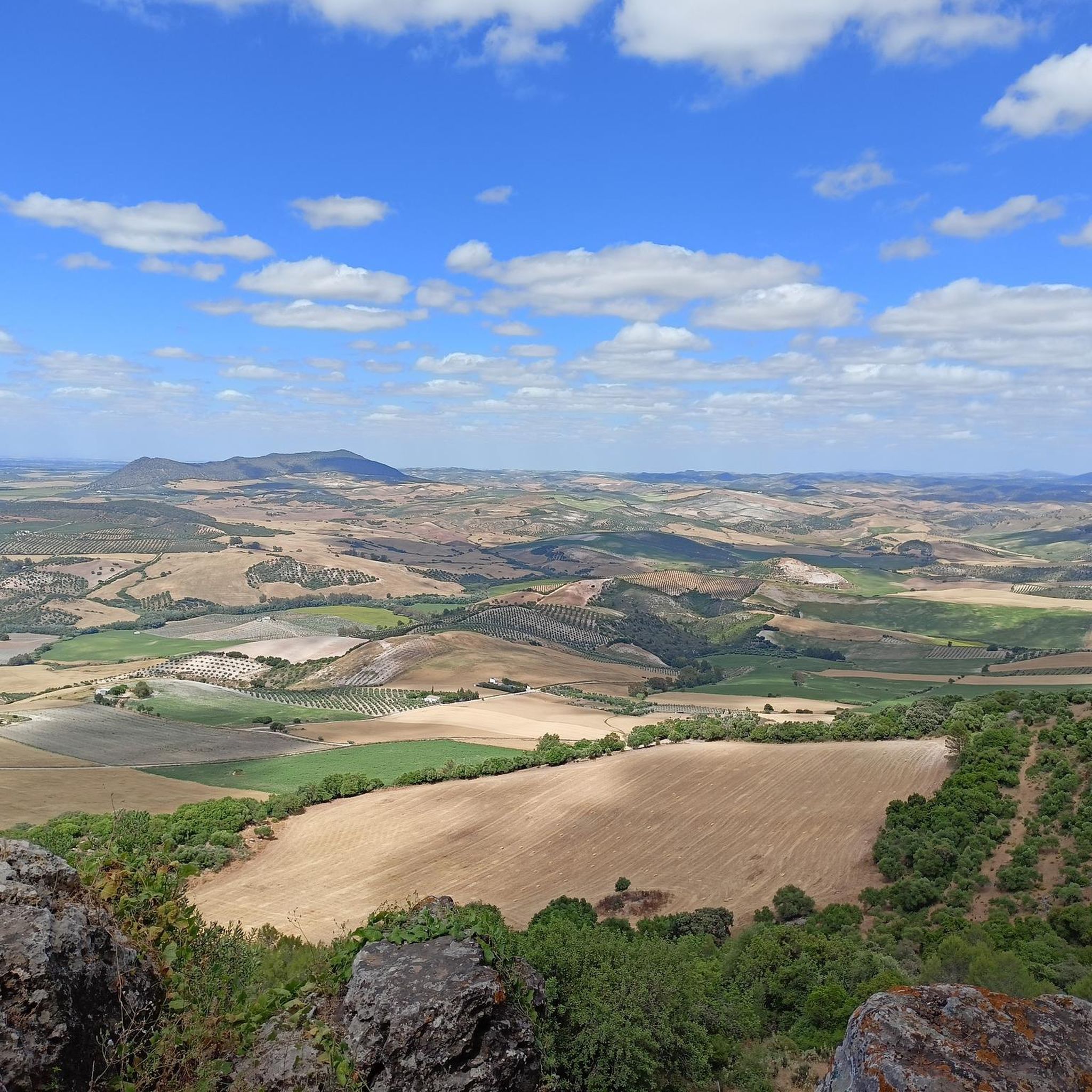
MTB Trails in Arroyo De Santiago, Salado De Morón Y Matabueyes/Garrapata
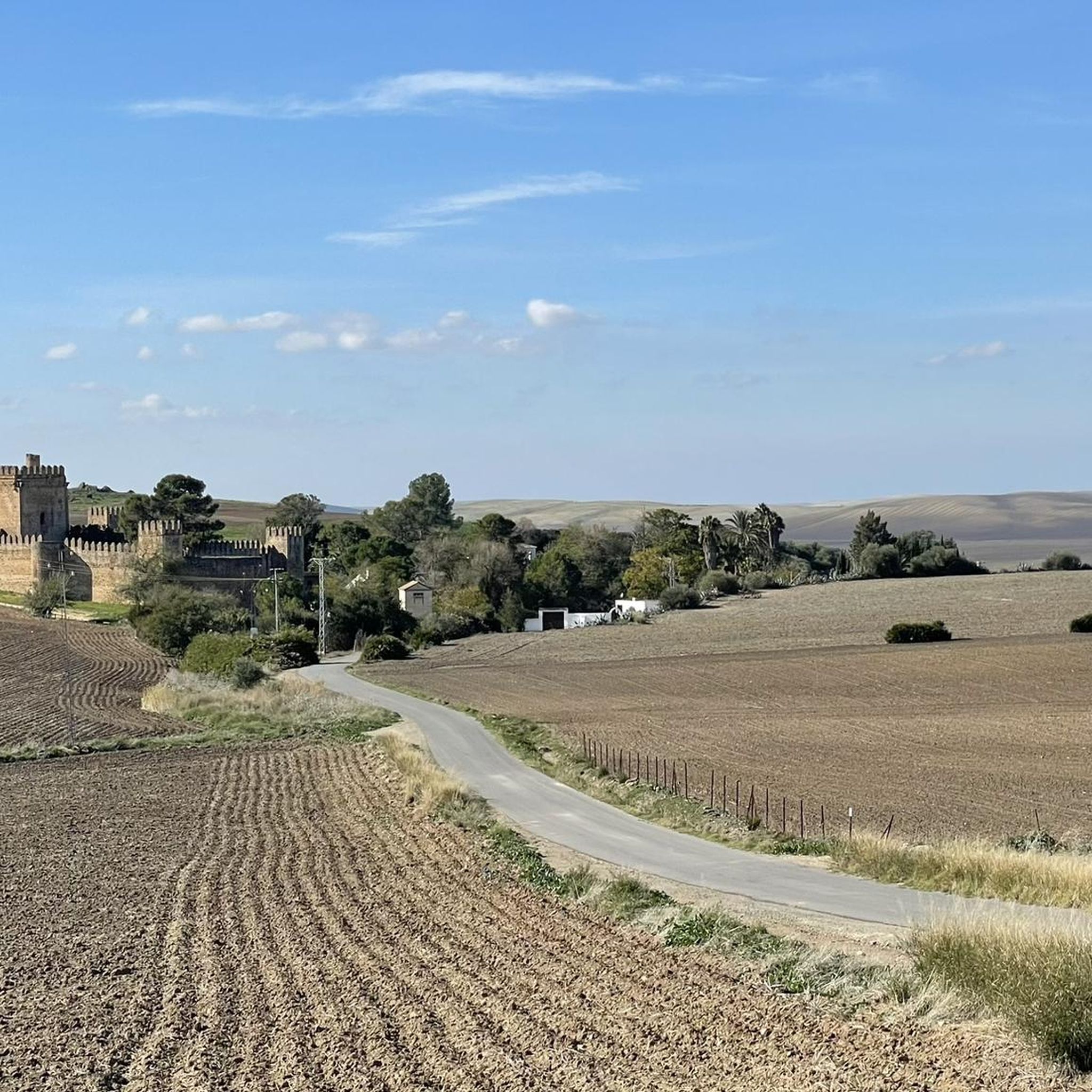
Road Cycling Routes in Arroyo De Santiago, Salado De Morón Y Matabueyes/Garrapata
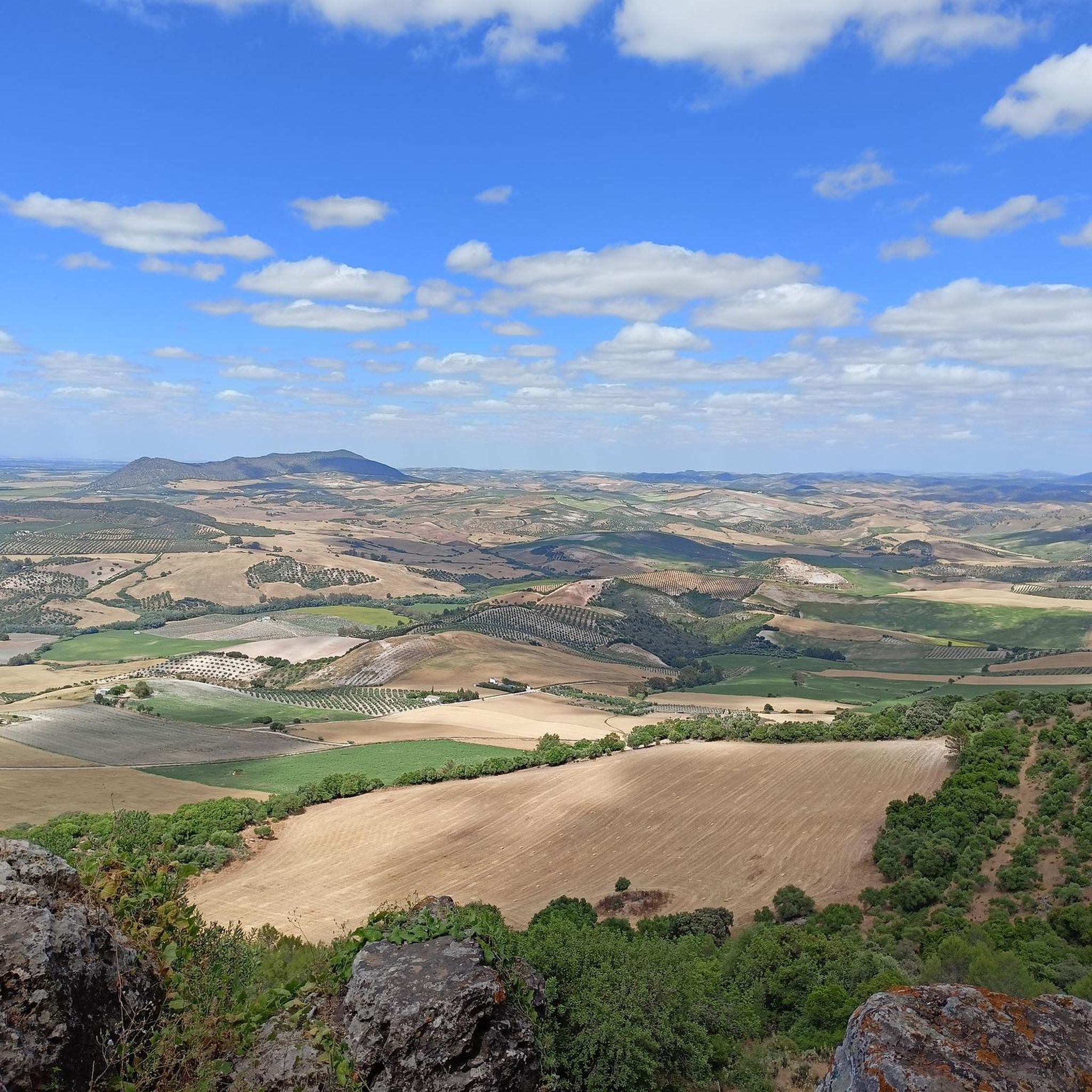
Cycling in Arroyo De Santiago, Salado De Morón Y Matabueyes/Garrapata

Gravel biking in Arroyo De Santiago, Salado De Morón Y Matabueyes/Garrapata
Tips from the Community

Companions, the mud stream remains impassable, the castle of Las Aguzadera is worth seeing, cheer up and have breakfast in El Coronil.
0
0

This viewpoint is part of a hiking route that also includes the Mirador de la Cancha and the Castillo de Cote. The complete route is approximately 11.5 km and is circular.
6
0

Viewpoint at the top of the Sierra de Montellano from where you can see spectacular views of the Castillo de Coto. All you have to do is turn around and see how the gray tower rises above the hill, in an idyllic picture from a postcard.
0
0
Its location explains its geostrategic relevance, in the place that the Arabs called Mont Aqut. Due to its architectural characteristics, it is considered unique in Spain, and there is a similar one in France and another in England. The Castle is located about 3.5 km. from the Sevillian town of Montellano
0
0
Lookout that offers views from the top of the Sierra de Montellano, at its northwest end. It is mandatory to stop at the viewpoint and observe the panorama that is around!!
0
0
Nice views to the east, highlights the Castillo de Cote, Peñón de Zaframago, Coripe, good access by various paths and trails.
1
0
The Castle of Cote is located about 3.5 km. from the Sevillian town of Montellano. Its location explains its geostrategic relevance, in the place that the Arabs called Mont Aqut. Due to its architectural characteristics, it is considered unique in Spain, and there is a similar one in France and another in England.
1
0
It is an impressive viewpoint to see the northern views of the Sierra de Montellano. Straight road but worth it!
1
0
Frequently Asked Questions
How many running routes are available in Arroyo De Santiago, Salado De Morón Y Matabueyes/Garrapata?
There are over 30 dedicated running routes in the Arroyo De Santiago, Salado De Morón Y Matabueyes/Garrapata region, catering to various skill levels. You'll find a mix of easy, moderate, and difficult trails to explore.
What kind of terrain can I expect on the jogging trails?
The terrain in Arroyo De Santiago, Salado De Morón Y Matabueyes/Garrapata is diverse, shaped by the Salado de Morón Stream. You'll encounter riparian woodland vegetation along the stream banks, patches of Mediterranean woodland and scrub, and geological formations like clay and gypsum deposits, particularly in the Tajos de Mogarejo area. Established paths, including sections of the Sierra Sur Greenway and Camino de Santiago, offer varied surfaces.
Are there any easy running routes suitable for beginners or a relaxed jog?
Yes, there are a few easy running routes available. While many trails feature significant elevation, you can find gentler paths, especially along sections of the Sierra Sur Greenway, which are repurposed from old railway lines and offer flat, well-maintained surfaces.
What are some notable landmarks or points of interest I might see while running?
The region offers several interesting landmarks. You can run past the historic Roman Bridge of Alcantarilla, enjoy views of the Torre del Águila Reservoir, or explore areas near the Castillo de Cote. The Puerto del Acebuche Viewpoint – Castillo de Cote loop from Venta El Potaje, for instance, offers views from the Puerto del Acebuche Viewpoint.
Are there any circular running routes in the area?
Yes, many routes are designed as loops, perfect for circular runs. For example, the Fox Pass loop from Puerto de la Zorra and the Castillo de Cote – Puerto del Acebuche Viewpoint loop from Venta El Potaje are popular circular options.
What do other runners say about the trails in Arroyo De Santiago, Salado De Morón Y Matabueyes/Garrapata?
The running routes in this region are highly regarded by the komoot community, with an average rating of 4.25 stars from over 5 reviews. Runners often praise the varied terrain, the scenic views, and the opportunity to explore historical landmarks and natural features like the riparian corridors.
Are the running trails suitable for families?
While some routes feature significant elevation and are rated difficult, there are also easier sections, particularly along the Sierra Sur Greenway, that can be suitable for families looking for a less strenuous jog. Always check the route's difficulty and length before heading out with children.
Can I bring my dog on the running trails?
Generally, dogs are welcome on many outdoor trails in Spain, especially in natural areas. However, it's always advisable to keep your dog on a leash, especially in areas with wildlife or near agricultural land, and to check for any specific local regulations or signage on individual trails.
What is the best season for jogging in this region?
The region can be enjoyed year-round, but spring and autumn often offer the most pleasant temperatures for jogging, avoiding the intense heat of summer. These seasons also showcase the diverse vegetation at its best. Winter can also be a good time, though some paths might be muddy after rain.
Are there any long-distance running options?
Yes, for those seeking longer runs, the region incorporates portions of the famous Camino de Santiago pilgrimage routes, such as the Serrana Route and Vía Augusta. These well-trodden paths are ideal for longer jogs or trail running, immersing you in historical landscapes. The Castillo de Cote Loop is also a longer option at over 15 km.
Where can I find parking near the running routes?
Parking availability varies by trailhead. Many routes, especially those starting from towns or established points like Venta El Potaje, will have designated parking areas. It's recommended to check the specific route details on komoot for parking information related to your chosen starting point.
Is public transport available to access the jogging trails?
While the region is primarily accessed by car, some towns along the routes may have limited public transport connections. For specific access points, it's best to research local bus services to the nearest towns or trailheads. The Sierra Sur Greenway, for example, might have access points near villages with public transport links.
Most popular routes in Arroyo De Santiago, Salado De Morón Y Matabueyes/Garrapata

Get inspired with the komoot mobile app


Explore more
Browse the best Running Trails & Routes in other regions.
