Arroyo De Santiago, Salado De Morón Y Matabueyes/Garrapata
Arroyo De Santiago, Salado De Morón Y Matabueyes/Garrapata
The best cycling routes in Arroyo De Santiago, Salado De Morón Y Matabueyes/Garrapata
4.4
(162)
1,183
riders
66
rides
Touring cycling in Arroyo De Santiago, Salado De Morón Y Matabueyes/Garrapata offers diverse landscapes and historical points of interest. The region is characterized by the Salado de Morón stream, featuring riparian vegetation and agricultural fields of cereals, sunflowers, and olive groves. Cyclists can explore areas with Mediterranean woodland, the Torre del Águila Reservoir, and historical landmarks such as the Roman bridge of Alcantarilla. This varied terrain provides a mix of natural beauty and cultural heritage for touring cyclists.
Best touring…
Last updated: October 28, 2026
16
riders
28.1km
02:42
810m
810m
Hard bike ride. Very good fitness required. You may need to push your bike for some segments of this route.
5.0
(1)
8
riders
69.5km
04:49
1,290m
1,290m
Hard bike ride. Very good fitness required. Mostly paved surfaces.

9
riders
60.8km
04:06
810m
810m
Hard bike ride. Very good fitness required. Mostly paved surfaces.
4
riders
31.1km
02:06
360m
350m
Moderate bike ride. Good fitness required. Mostly paved surfaces.
5
riders
67.0km
04:53
800m
800m
Hard bike ride. Very good fitness required. Mostly paved surfaces.
Get access to more routes and recommendations from other explorers.
Already have an account?
Our route recommendations are based on thousands of hikes, rides, and runs completed by other people on komoot.
Start today with a free account
Your next adventure awaits.
Popular around Arroyo De Santiago, Salado De Morón Y Matabueyes/Garrapata
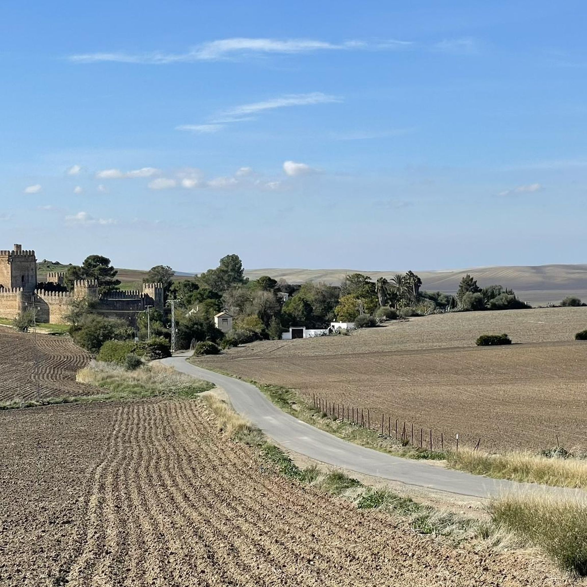
Hiking in Arroyo De Santiago, Salado De Morón Y Matabueyes/Garrapata
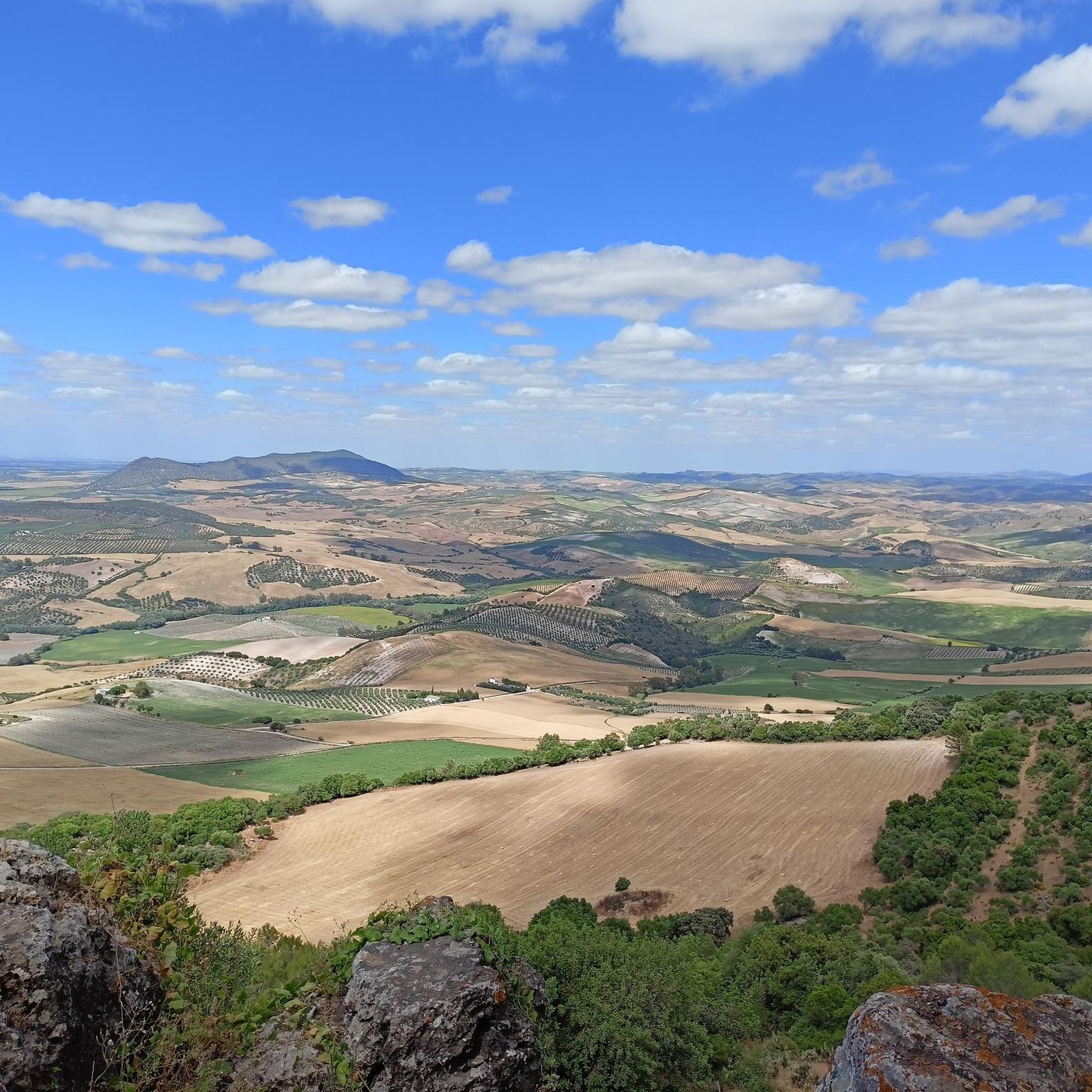
MTB Trails in Arroyo De Santiago, Salado De Morón Y Matabueyes/Garrapata
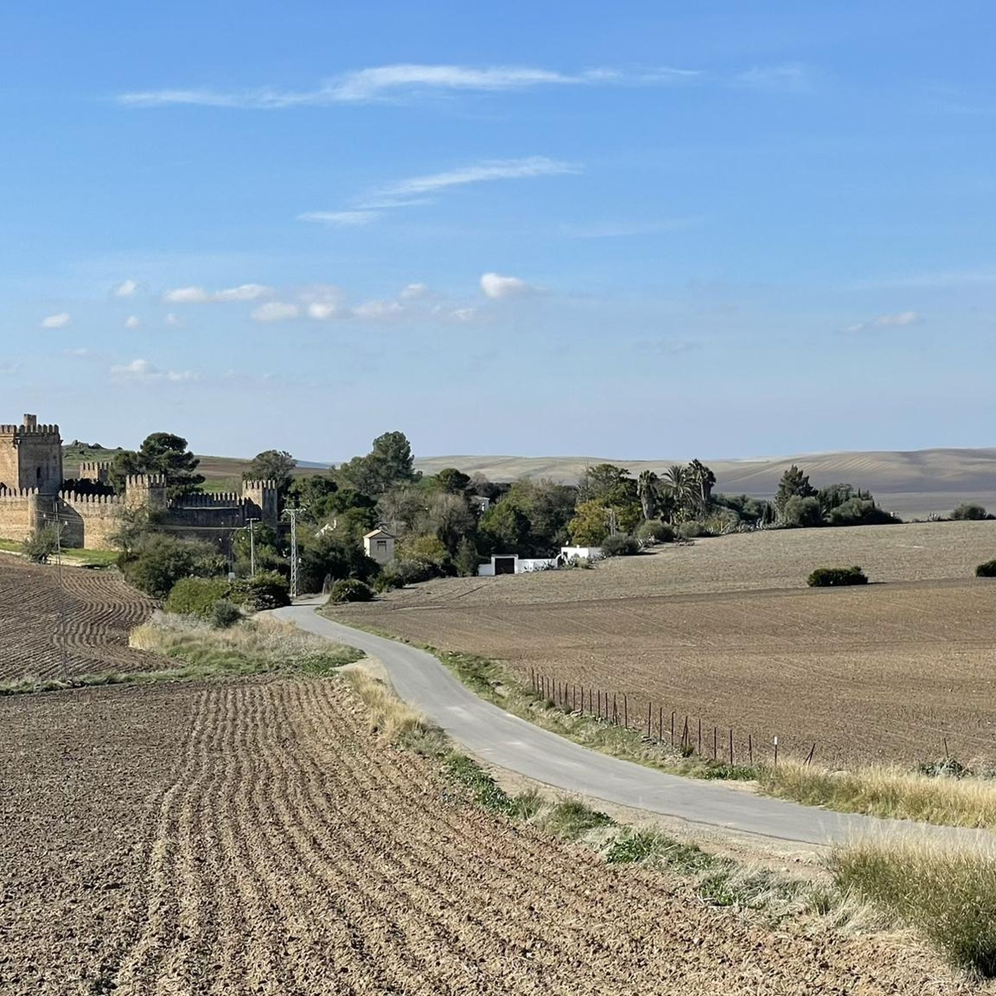
Road Cycling Routes in Arroyo De Santiago, Salado De Morón Y Matabueyes/Garrapata
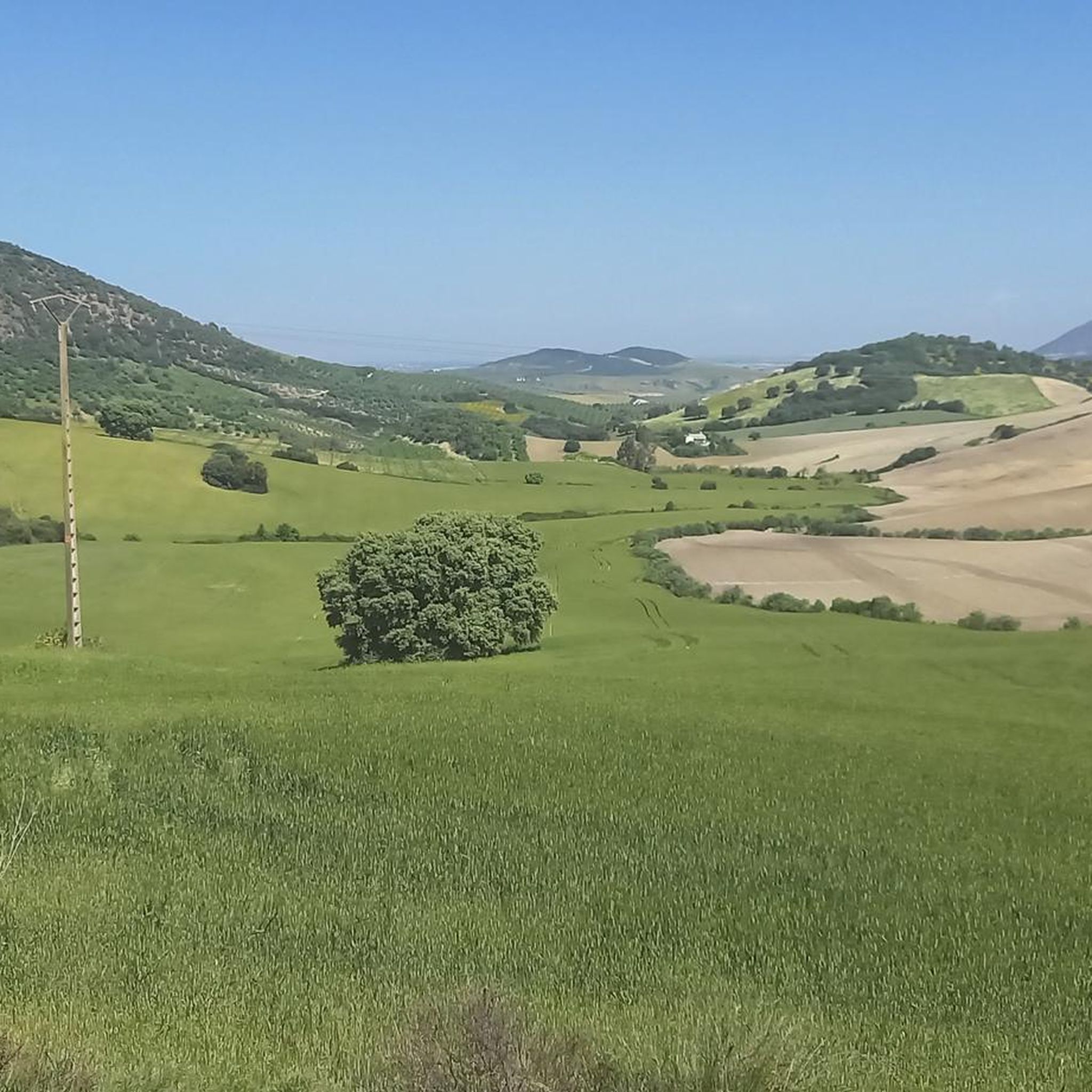
Running Trails in Arroyo De Santiago, Salado De Morón Y Matabueyes/Garrapata

Gravel biking in Arroyo De Santiago, Salado De Morón Y Matabueyes/Garrapata
Tips from the Community

Bike tour - a journey through time 🤣🚴
0
0

Railway tunnel no. 20 of the Sierra Greenway Nature Trail. Located 310 meters from the previous tunnel, it is 175 meters long and provided with artificial lighting; however, a flashlight is recommended. This tunnel is excavated in black limestone. The tunnels in this railway section were constructed using shoring (supporting the excavation) with wooden beams and props, followed by formwork for the concrete slab that supports the tunnel. The tunnel entrance is finished with hewn limestone from a quarry located opposite Zaframagón.
8
0
Railway tunnel no. 19 of the Sierra Greenway Nature Trail. Located 490 meters from the previous tunnel, it is 120 meters long and has no artificial lighting, so a flashlight is recommended. This tunnel passes through an outcrop of dolomitic limestone.
3
0
Viaduct of 237 meters long, built by means of truncated pyramidal pilasters with a rectangular plan with mortared bluestones. It consists of 9 openings, eight of which are the same, and the fourth (counting from the station) with a larger arch. It is the longest viaduct of the nature trail, built to cross the junction with the Guadalporcún River.
7
0
Viaduct of 83 meters long, built by means of truncated pyramidal pilasters with a rectangular plan with mortared bluestones. Formed by the repetition of 5 equal openings. It was designed and built to save a deep ravine dug by a tributary of the Guadalporcún River.
8
0
Railway tunnel no. 23 of the Sierra Greenway Nature Trail. Located 923 meters from the previous tunnel, it is 125 meters long and has no artificial lighting, so a flashlight is recommended. This tunnel is excavated into the side of a clay hill.
8
0
Railroad tunnel No. 25 of the Sierra Greenway Nature Trail. Located 1,670 meters from the previous tunnel, it is 500 meters long and equipped with artificial lighting, although it is advisable to have a flashlight. This tunnel is dug into the limestone slope of the Cerro de los Borregales or Castellar de Jalifa. The castellares are hills with a limestone plateau at the top, raised on a base of softer materials, in this case Triassic clay and sandstone, which give them the appearance of a fortress. At the top of this hill are the remains of an old watchtower from the Spanish-Islamic period.
8
0
Viaduct of 65 meters long, built by means of truncated-pyramidal pilasters with a rectangular plan with mortared bluestones. Formed by the repetition of 3 equal spans. Built to save the bed of the Azar stream. Less than 100 meters away there is a small rest area from where you have a good view of the Guadalete river at the exit of the Villalón meander, at the foot of the Cerro del Castellar.
7
0
Frequently Asked Questions
How many touring cycling routes are available in Arroyo De Santiago, Salado De Morón Y Matabueyes/Garrapata?
There are over 50 touring cycling routes available in the region, offering a wide variety of options for different skill levels and preferences. The komoot community has explored these routes over 700 times.
What kind of terrain can I expect on touring cycling routes in this region?
The region offers diverse terrain for touring cyclists. You'll encounter riparian vegetation along the Salado de Morón stream, traditional agricultural landscapes with fields of cereals, sunflowers, and olive groves, and even small patches of Mediterranean woodland. Routes can range from flat sections to areas with significant elevation gain, especially on more challenging trails.
Are there easy touring cycling routes suitable for beginners or families?
Yes, while many routes are rated moderate or difficult, there is at least one easy touring cycling route available. These routes often follow rural roads and offer a gentler experience, perfect for those new to touring cycling or families looking for a relaxed ride.
What are some challenging touring cycling routes in the area?
For experienced touring cyclists seeking a challenge, routes like the Coripe – Testarudo Tunnel loop from Puerto de la Zorra offer significant elevation gain over 43 miles. Another demanding option is the 🇪🇦Coripe Vulture Valley – Testarudo Tunnel loop from Cerro de Galindo, which covers nearly 38 miles with substantial climbing.
Can I find circular touring cycling routes in Arroyo De Santiago, Salado De Morón Y Matabueyes/Garrapata?
Yes, many touring cycling routes in the region are designed as loops, allowing you to start and finish at the same point. Examples include the Viaducto de Los Azares – Viaducto de Gillete loop from Islas Altas and the Fox Pass loop from Puerto de la Zorra, providing convenient options for exploration.
What natural features or landmarks can I see along the touring cycling routes?
Cyclists can enjoy a variety of natural and historical sights. The Salado de Morón stream itself is a key feature, with its riparian vegetation. You might also encounter the Torre del Águila Reservoir, offering scenic water views. Historical landmarks include the Roman bridge of Alcantarilla, and the region is also known for its ecological importance with protected species.
When is the best time of year to go touring cycling in this region?
The region's Mediterranean climate generally makes spring and autumn ideal for touring cycling, offering milder temperatures and pleasant conditions. Summers can be very hot, while winters are typically mild but can have occasional rain. Checking local weather forecasts before your trip is always recommended.
Are there options for parking near the touring cycling routes?
Given the region's focus on outdoor activities and rural roads, parking is generally available near trailheads or in nearby towns such as Montellano, El Coronil, or Morón de la Frontera. It's advisable to check specific starting points for designated parking areas when planning your route.
How can I reach the touring cycling routes using public transport?
While specific public transport links directly to every trailhead might be limited, towns within the region like Montellano, El Coronil, and Morón de la Frontera are typically served by regional bus lines. From these towns, you may be able to cycle to the starting points of various routes. Planning your journey in advance with local transport schedules is recommended.
What do other cyclists say about touring cycling in Arroyo De Santiago, Salado De Morón Y Matabueyes/Garrapata?
The touring cycling routes in this area are highly rated by the komoot community, with an average score of 4.4 stars from over 60 reviews. Cyclists often praise the diverse landscapes, the mix of natural beauty and historical sites, and the well-maintained rural roads that make for an enjoyable touring experience.
Are there any historical sites to explore while cycling?
Absolutely. The region is rich in history. You can cycle past the ancient Roman bridge of Alcantarilla, which spans the Salado de Morón stream. Additionally, there are archaeological remains like the Molino Pintado site, and nearby castles such as Torre del Bollo in El Palmar de Troya and Las Aguzaderas Castle in El Coronil, which can be incorporated into your cycling itinerary.
Where can I find refreshments or accommodation near the routes?
Towns and villages throughout the region, such as Montellano, El Coronil, Morón de la Frontera, and Utrera, offer various options for cafes, restaurants, and accommodation. Many routes pass through or near these settlements, making it convenient to find places to rest and refuel during your tour.
Most popular routes in Arroyo De Santiago, Salado De Morón Y Matabueyes/Garrapata

Get inspired with the komoot mobile app


Explore more
Browse the best Cycling routes in other regions.
