Barrancos Del Río De Aguas Blancas
Barrancos Del Río De Aguas Blancas
The best cycling routes in Barrancos Del Río De Aguas Blancas
4.6
(32)
743
riders
44
rides
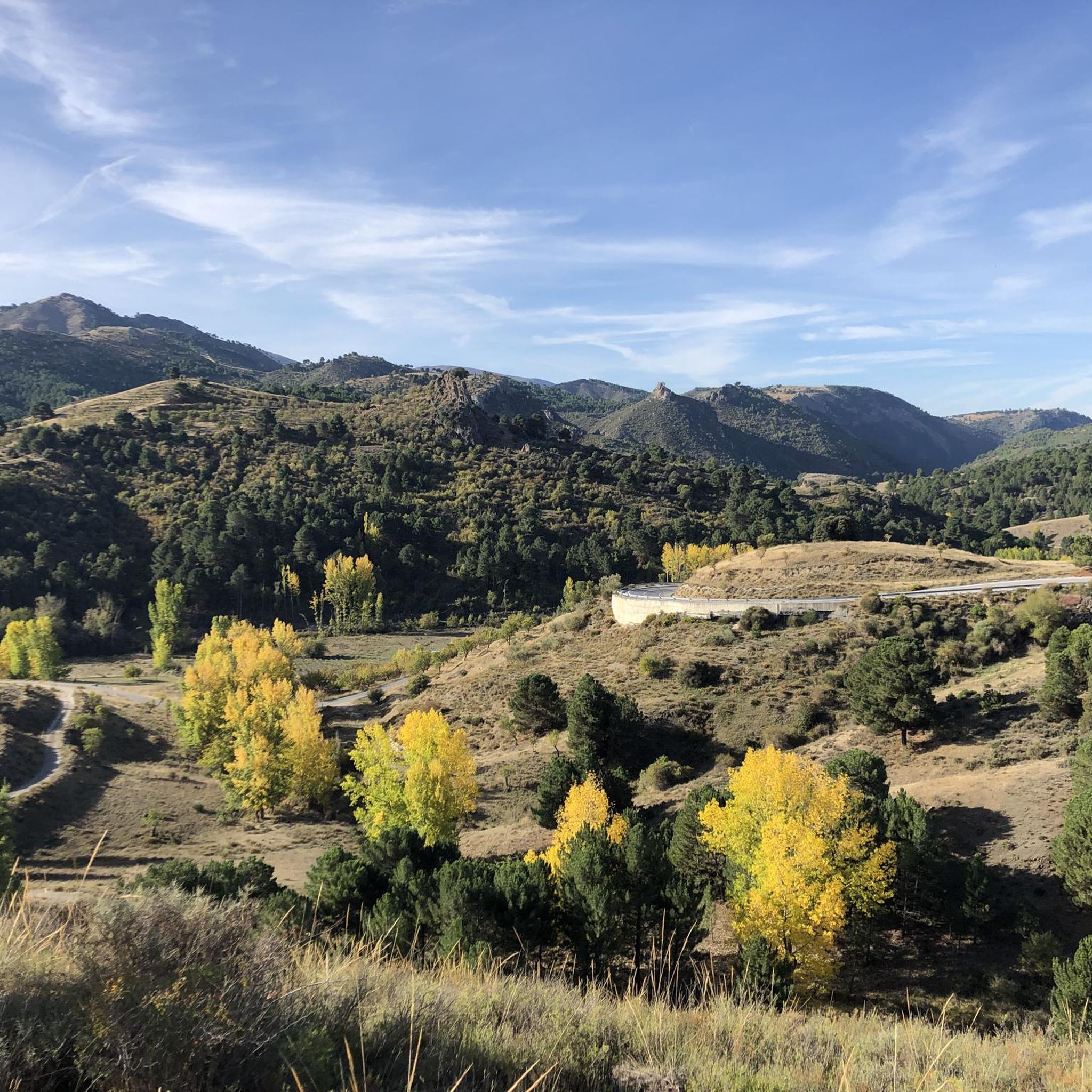
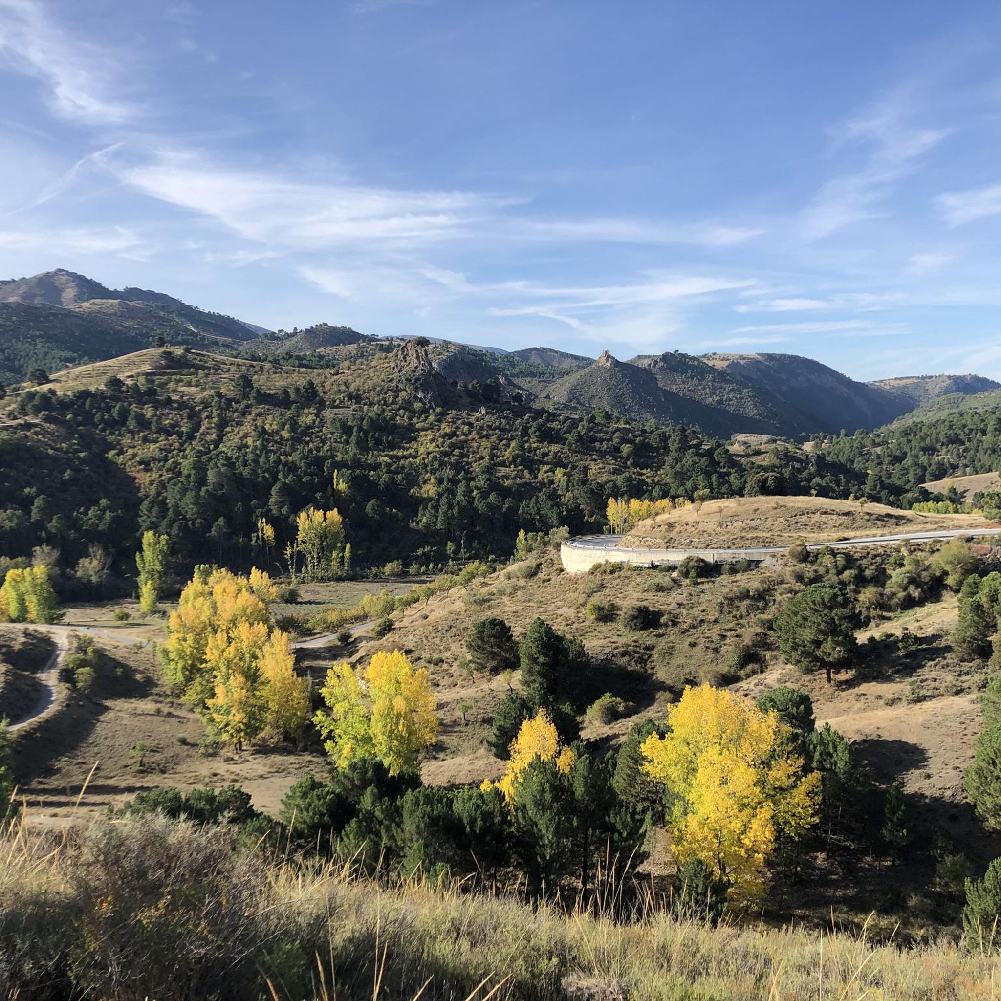
Touring cycling in Barrancos Del Río De Aguas Blancas is characterized by its diverse landscapes within the upper basin of the Aguas Blancas river. The region is bordered by the Sierra Nevada to the south and the Sierras de Huétor and Arana to the north, providing a mountainous environment with varied elevations. Routes often incorporate views of the Quéntar Reservoir and traverse through extensive pine forests and lush riverine vegetation. This Special Area of Conservation offers terrain suitable for both…
Last updated: May 23, 2026
9
riders
Hard bike ride. Very good fitness required. Mostly paved surfaces. Suitable for all skill levels.
5.0
(1)
20
riders
54.6km
04:16
1,110m
1,110m
Hard bike ride. Very good fitness required. Mostly paved surfaces. Suitable for all skill levels.

Sign up for free
3.0
(1)
17
riders
34.7km
03:01
920m
920m
Hard bike ride. Very good fitness required. Mostly paved surfaces. Suitable for all skill levels.
15
riders
Hard bike ride. Very good fitness required. Mostly paved surfaces. Suitable for all skill levels.
5.0
(1)
9
riders
Hard bike ride. Very good fitness required. Mostly paved surfaces. Suitable for all skill levels.
Get access to more routes and recommendations from other explorers.
Sign up for free
Already have an account?
Our route recommendations are based on thousands of hikes, rides, and runs completed by other people on komoot.
Start today with a free account
Your next adventure awaits.
Login or Signup
Popular around Barrancos Del Río De Aguas Blancas

Tips from the Community

I did this route in the summer and there were a lot of mosquitoes.
0
0

Unparalleled beauty to recharge your batteries and your senses
0
0

It's not a cemetery, it's a forest house.
0
0
The viewpoint is priceless, the views it offers, in addition to being located in an unparalleled location within this unique and spectacular mountain range, which at the same time
0
0

Puerto de los Blancares, 1297m Puerto de los Blancares is a mountain pass in the Sierra Nevada, Granada, at an altitude of 1297 metres. It is on the GR-3201 route, which connects La Peza with Granada. The route is approximately 9.3 kilometres long and offers scenic scenery with an average gradient of 3.4%. It is a popular route for walkers and cyclists due to the beautiful scenery and the challenging, but advantageous, gradient. The route starts near the Pantano de Quéntar and passes through forests and open terrain.
5
0
Beautiful resting place along the river, accessible via stairs.
7
0
The Carretera Aguas Blancas in Quéntar, Granada, is a beautiful route that takes you through the natural beauty of the region. It is a popular route for walkers, cyclists and those who enjoy the peaceful atmosphere and beautiful landscapes. The road runs along the Aguas Blancas River and offers impressive views of the Sierra Nevada.
7
0
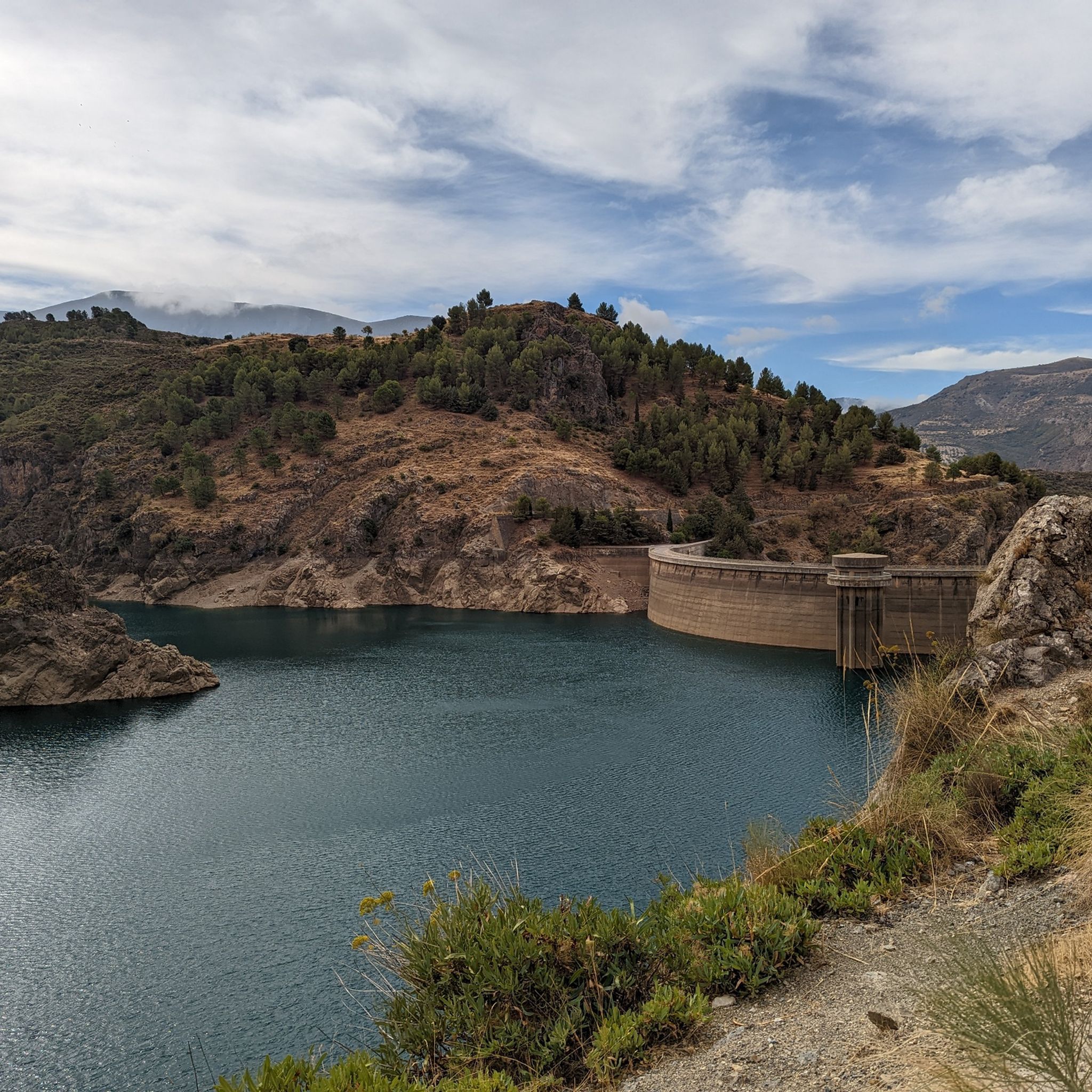
On the beautiful road along the Pantano de Quéntar there is an official viewpoint, although not really secured. With little traffic you can enjoy the beautiful lake here.
7
0
Frequently Asked Questions
How many touring cycling routes are available in Barrancos Del Río De Aguas Blancas?
There are over 49 touring cycling routes in Barrancos Del Río De Aguas Blancas, offering a wide range of options for different skill levels and preferences. The area is particularly known for its mountainous terrain and scenic pathways.
What is the general difficulty level for touring cycling in Barrancos Del Río De Aguas Blancas?
The majority of touring cycling routes in Barrancos Del Río De Aguas Blancas are considered challenging, with 41 routes rated as difficult. There are also 7 moderate routes and 1 easy route, ensuring options for various fitness levels. The mountainous environment, bordered by the Sierra Nevada and Sierras de Huétor and Arana, contributes to the varied elevations.
Are there family-friendly touring cycling routes in Barrancos Del Río De Aguas Blancas?
While many routes are challenging, there is 1 easy route and 7 moderate routes that could be suitable for families with some cycling experience. The region's recreational areas, like the Área Recreativa Aguas Blancas, offer pleasant spots for breaks. Always check the route details for elevation and terrain to ensure it matches your family's ability.
What natural features or landmarks can I see while touring cycling in Barrancos Del Río De Aguas Blancas?
Touring cyclists can enjoy diverse landscapes including extensive pine forests, scrubland, and lush riverine vegetation. Key natural features include the expansive Pantano de Quéntar reservoir and the clear waters of the Aguas Blancas Spring. Routes often provide panoramic views of the surrounding mountainous terrain.
Are there circular touring cycling routes available in Barrancos Del Río De Aguas Blancas?
Yes, many routes in the area are designed as loops, allowing you to start and end at the same point. Examples include the challenging Tocón Spring – Viewpoint of La Peza loop from Tocón, which covers 50 km, or the Aguas Blancas Spring – Great spot for a break or for a quick camp loop from Padules, exploring the spring area.
What do other touring cyclists enjoy the most about touring cycling in Barrancos Del Río De Aguas Blancas?
The area is highly rated by the komoot community, with an average score of 4.7 stars from over 49 reviews. Reviewers often praise the diverse landscapes, the challenging mountainous terrain, and the scenic views, particularly around the Quéntar Reservoir and through the pine forests.
What types of terrain can I expect on touring cycling routes?
You can expect a mix of terrain suitable for both road and gravel cycling. Routes often feature firm pavement, but also explore gravel paths. The mountainous environment means you'll encounter varied elevations, from challenging ascents to rewarding descents, winding through pine forests and along riverbanks.
Are there any specific routes that offer great viewpoints?
Absolutely. The region's mountainous backdrop provides numerous opportunities for stunning vistas. For example, the Cueva del Gato Viewpoint – La Teja Spring loop from Beas de Granada is known for its notable viewpoints. Many routes also offer picturesque views of the Quéntar Reservoir.
Can I find places to rest or take a break along the cycling routes?
Yes, the area features several recreational areas, such as the Área Recreativa Aguas Blancas, which are ideal for breaks. These spots often provide amenities like tables and shade, and during warmer months, some even allow for swimming in the river. The Great spot for a break or for a quick camp highlight is also a popular resting point.
What is the best time of year for touring cycling in Barrancos Del Río De Aguas Blancas?
The region offers pleasant conditions for cycling during many months. Given its mountainous nature, spring and autumn generally provide the most comfortable temperatures for touring. Summer can be warm, but the riverine areas and shaded forests offer some respite. Winter cycling is possible, but check local conditions for potential cold or precipitation.
Are there any routes that pass through the Sierra de Huétor?
Yes, the proximity to the Sierra de Huétor means some routes incorporate this area. For instance, the Sierra de Huétor – La Teja Spring loop from Beas de Granada is a challenging 43.3 km route that takes you through parts of this impressive mountain range.
Are there opportunities to see wildlife while cycling?
As a Special Area of Conservation, Barrancos Del Río De Aguas Blancas is home to diverse wildlife. Cyclists might spot native crayfish, amphibians like the Betic midwife toad, various reptiles, and raptors such as Bonelli's eagle or peregrine falcon. Mountain goats are also abundant due to the proximity to Sierra de Huétor, enhancing the natural experience.
Most popular routes in Barrancos Del Río De Aguas Blancas
Most popular attractions in Barrancos Del Río De Aguas Blancas

Get inspired with the komoot mobile app


Explore more
Browse the best Cycling routes in other regions.
