Barrancos Del Río De Aguas Blancas
Barrancos Del Río De Aguas Blancas
The best gravel rides in Barrancos Del Río De Aguas Blancas
4.2
(4)
62
riders
12
rides
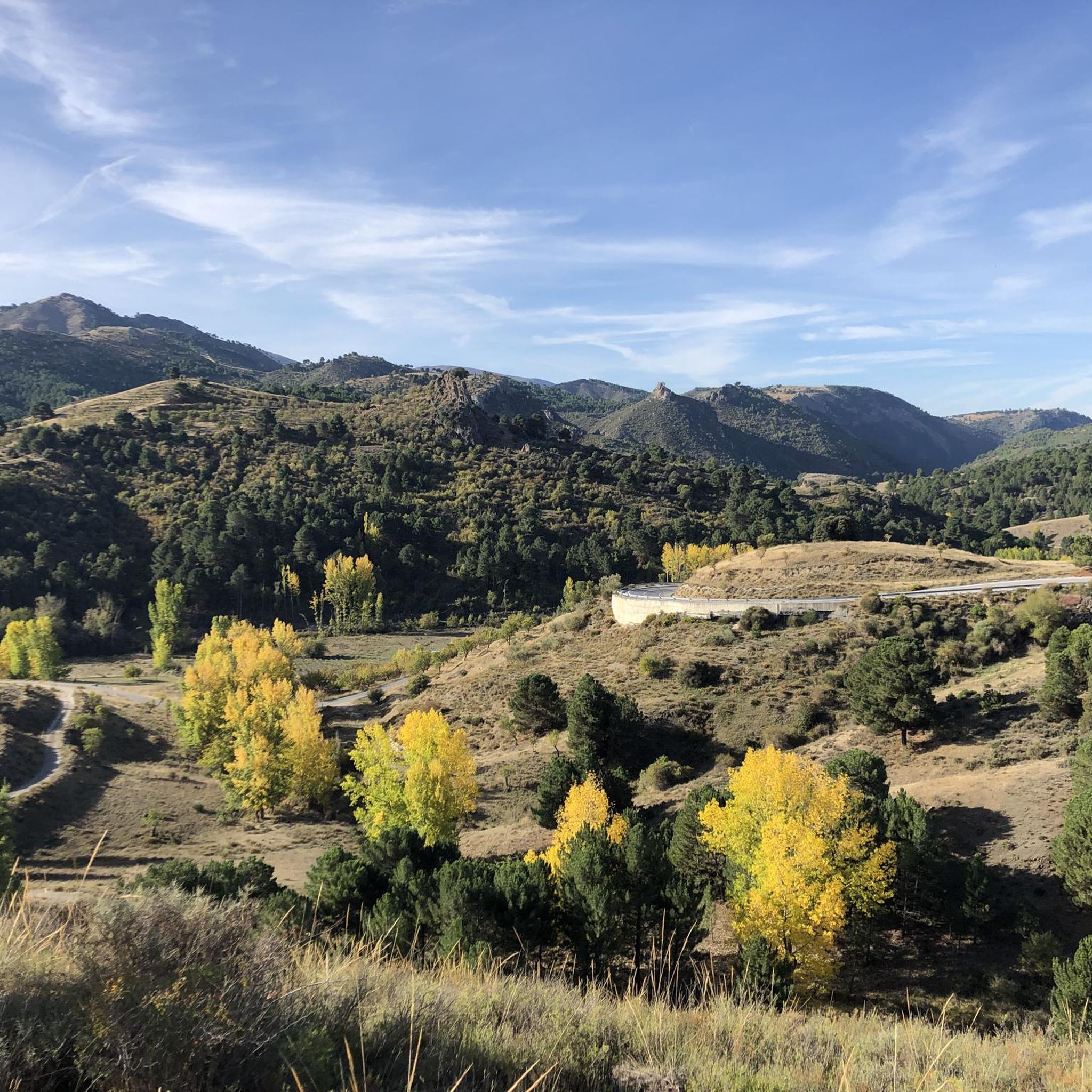
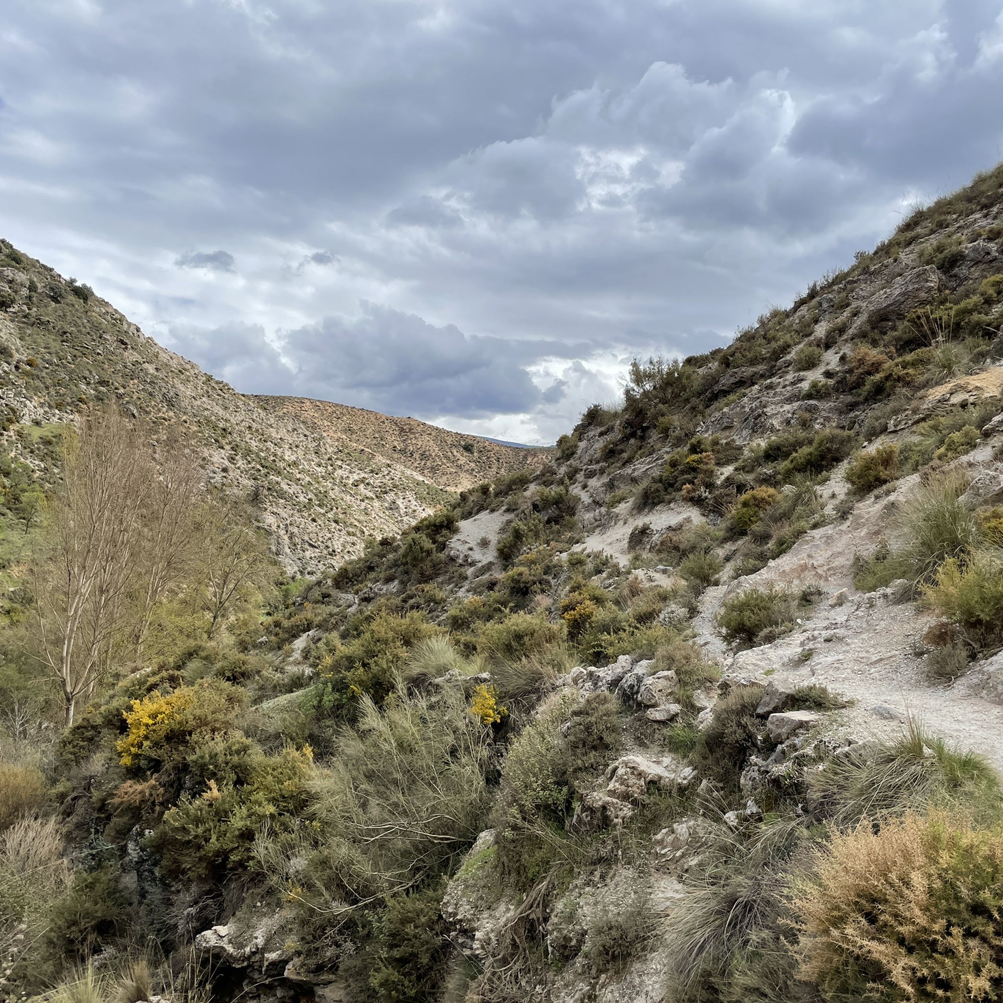
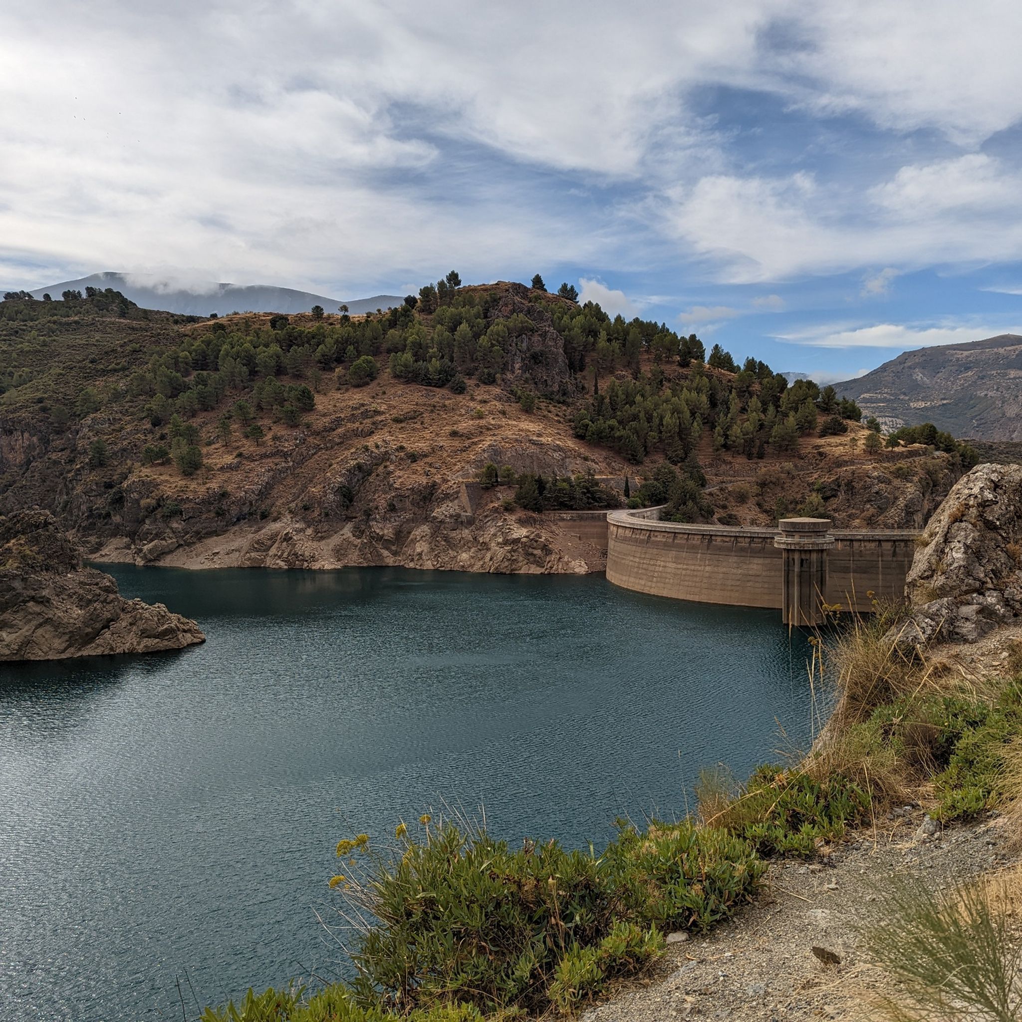
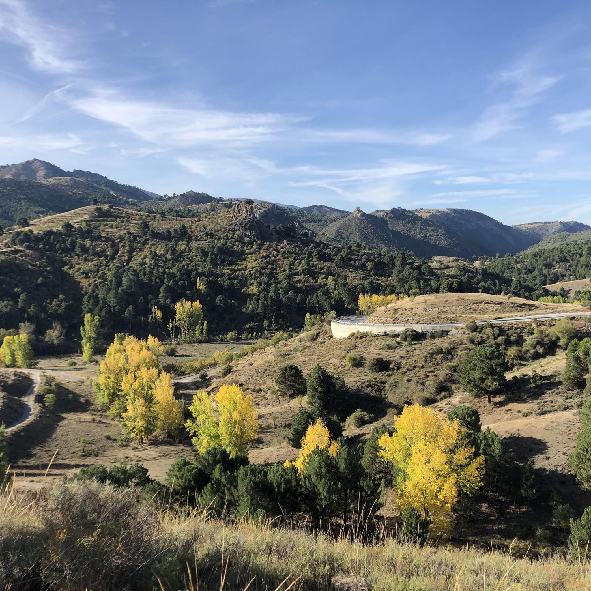
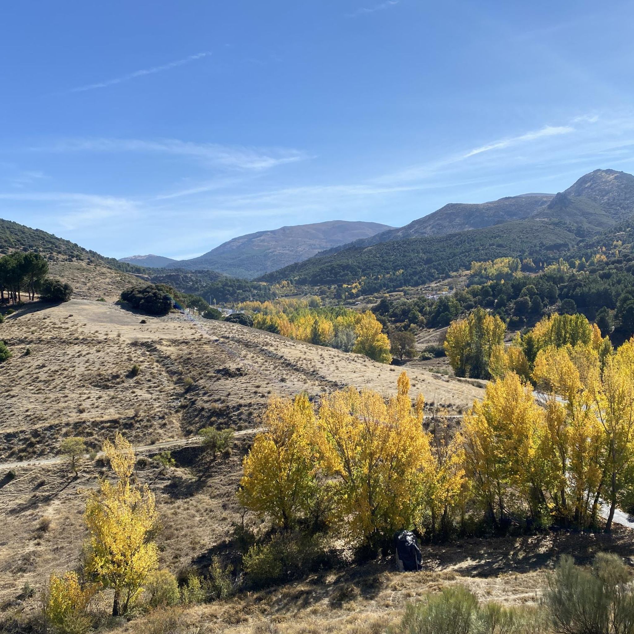
Gravel biking in Barrancos Del Río De Aguas Blancas offers diverse landscapes within the Granada province of Spain. The region is characterized by the Aguas Blancas river, bordered by the Sierra Nevada mountains to the south and the Sierra de Huétor and Arana to the north. Terrain includes reforested pine forests, scrubland, and remnants of holm oak forests, with the significant Pantano de Quéntar (Quéntar Reservoir) as a central feature. Riders can expect a mix of dirt roads, technical climbs,…
Last updated: May 21, 2026
5.0
(1)
36
riders
64.7km
04:59
1,460m
1,460m
Hard gravel ride. Very good fitness required. Mostly paved surfaces. Suitable for all skill levels.
4.5
(2)
13
riders
34.9km
02:44
890m
890m
Hard gravel ride. Very good fitness required. Mostly paved surfaces. Suitable for all skill levels.

Sign up for free
6
riders
114km
10:29
2,700m
2,700m
Hard gravel ride. Very good fitness required. Mostly paved surfaces. Suitable for all skill levels.
3.0
(1)
4
riders
43.2km
03:54
870m
870m
Hard gravel ride. Very good fitness required. Mostly paved surfaces. Suitable for all skill levels.
4.6
(7)
51
riders
32.0km
02:29
640m
640m
Hard gravel ride. Very good fitness required. Mostly paved surfaces. Suitable for all skill levels.
Get access to more routes and recommendations from other explorers.
Sign up for free
Already have an account?
Our route recommendations are based on thousands of hikes, rides, and runs completed by other people on komoot.
Start today with a free account
Your next adventure awaits.
Login or Signup
Tips from the Community

I did this route in the summer and there were a lot of mosquitoes.
0
0

Güéjar Sierra is a picturesque Granada town at the foot of the Sierra Nevada, which preserves the charm of its narrow streets and whitewashed houses. Surrounded by mountains, viewpoints, and trails.
1
0

Unparalleled beauty to recharge your batteries and your senses
0
0

It's not a cemetery, it's a forest house.
0
0
The path runs between the pergola of Llano la Perdi or Cuatro Caminos (Jesus del Valle/Llano la Perdiz/Cene's de la Vega) and, at the other end of the Acanas path, in Dudar. From a top viewpoint, you can see this hermitage of indescribable charm.
0
0
A vestige of a time gone by. A crossing point between Dudar and the Abohmgado ravine.
0
0
A must-visit place. Not only to walk around and taste its gastronomy but also to enjoy its nature.
0
0

Rain cistern, it served as a reserve in times of drought and actually continues to fill with water when it rains.
0
0
Frequently Asked Questions
What kind of terrain can I expect on gravel bike trails in Barrancos Del Río De Aguas Blancas?
The region offers a diverse mix of terrain, including dirt roads, steep and technical climbs, challenging descents, and occasional singletrack sections. You'll ride through reforested pine forests, scrubland, ancient olive groves, and along riverbeds with riparian vegetation, all framed by views of the Sierra Nevada mountains.
Are there any beginner-friendly gravel bike routes in Barrancos Del Río De Aguas Blancas?
Most of the gravel bike routes in Barrancos Del Río De Aguas Blancas are rated as difficult, featuring significant elevation gains and technical sections. There is one moderate route available, but no easy routes are currently listed in the area. Riders should be prepared for a challenging experience.
What are some notable natural features or landmarks I might see along the trails?
You'll encounter several significant natural features. The Quéntar Reservoir is a central highlight, providing picturesque views. You might also discover the somewhat hidden Aguas Blancas Spring and remnants of the historical "Canal de los Franceses" along the river.
Are there any loop routes available for gravel biking?
Yes, many of the routes are designed as loops. For example, you can explore the Los Blancares Pass – Quéntar Reservoir loop from Tocón, which is a challenging 102.4 km ride, or the Canales Reservoir – Quéntar Reservoir loop from Güéjar Sierra, connecting two significant reservoirs.
What is the best time of year to go gravel biking in Barrancos Del Río De Aguas Blancas?
While specific seasonal recommendations aren't provided, the region's diverse landscape and proximity to the Sierra Nevada suggest pleasant conditions in spring and autumn. Summers can be hot, and winters might bring colder temperatures at higher elevations, so checking local weather is always advisable.
What kind of wildlife might I encounter while cycling?
As a designated Special Conservation Zone (ZEC), the area is rich in wildlife. You might spot indigenous river crabs, the Betic midwife toad, various reptiles like the horseshoe snake, and large raptors such as Bonelli's eagle, golden eagle, and peregrine falcon. Mountain goats are also abundant in the surrounding ranges.
Are there any places to stop for a break or find refreshments along the routes?
The Aguas Blancas Recreational Area, located along the Cañogeo ravine, offers amenities like tables and shaded spots, perfect for relaxation. Some sections even provide opportunities for swimming in the river. For specific cafes or pubs, it's best to check the starting or ending villages of your chosen route.
What is the typical duration for gravel bike routes in this area?
Route durations vary significantly based on distance and elevation. For instance, the Collado del Alguacil – Los Blancares Pass loop from Padules can take around 11 hours 29 minutes, while the Canales Reservoir – Granada loop from Güéjar Sierra is typically completed in about 3 hours 53 minutes. Be prepared for longer rides due to the challenging terrain.
What do other gravel bikers enjoy most about Barrancos Del Río De Aguas Blancas?
The area is highly rated by the komoot community, with an average score of 4.4 stars. Riders often praise the immersive scenery, the challenging yet rewarding experience, and the opportunity to pedal for hours surrounded by untouched nature, with panoramic views of the Sierra Nevada.
Are there opportunities for wild swimming along the gravel trails?
Yes, the Aguas Blancas Recreational Area, situated along the Cañogeo ravine, offers sections where you can swim in the river. The Río Aguas Blancas itself has a permanent flow, making it a refreshing option during your ride.
What kind of bike is recommended for these trails?
Due to the varied and often remote terrain, which includes dirt roads, technical climbs, and descents, it is highly recommended to use a gravel bike or a mountain bike. Road bikes are not suitable for these routes.
How many gravel bike routes are available in Barrancos Del Río De Aguas Blancas?
There are approximately 10 gravel bike routes available in Barrancos Del Río De Aguas Blancas, offering a range of challenging experiences for riders.
Most popular routes in Barrancos Del Río De Aguas Blancas
Most popular attractions in Barrancos Del Río De Aguas Blancas

Get inspired with the komoot mobile app


Explore more
Browse the best Gravel rides in other regions.
