The best running trails in Sierras Subbéticas
5.0
(4)
687
runners
28
runs
Jogging routes in Sierras Subbéticas traverse a unique karst landscape in Andalusia, Spain. The region features striking limestone formations, including sharp slopes, hills, and deep gorges. Runners can explore diverse terrain, from the relatively flat Vía Verde de la Subbética to more challenging mountain paths. The natural park is characterized by Mediterranean vegetation, including holm oaks and wild olive trees, alongside riverine flora.
Best jogging routes in Sierras Subbéticas
- The most popular jogging route is Chorreras de la Fuenseca y…
Last updated: October 11, 2026
5.0
(1)
9
runners
Moderate run. Good fitness required. Mostly paved surfaces. Suitable for all skill levels.
13.2km
01:53
620m
620m
Hard run. Very good fitness required. Mostly accessible paths. Some sure footedness required.

30
runners
9.31km
01:01
150m
150m
Moderate run. Good fitness required. Mostly paved surfaces. Suitable for all skill levels.
14
runners
18.0km
02:28
700m
700m
Hard run. Very good fitness required. Mostly paved surfaces. Suitable for all skill levels.
10
runners
5.60km
00:45
230m
240m
Moderate run. Good fitness required. Mostly paved surfaces. Suitable for all skill levels.
Get access to more routes and recommendations from other explorers.
Already have an account?
Our route recommendations are based on thousands of hikes, rides, and runs completed by other people on komoot.
Start today with a free account
Your next adventure awaits.

Other adventures in Sierras Subbéticas

Tips from the Community


Be careful when exploring! You've left the official path for this.
1
0

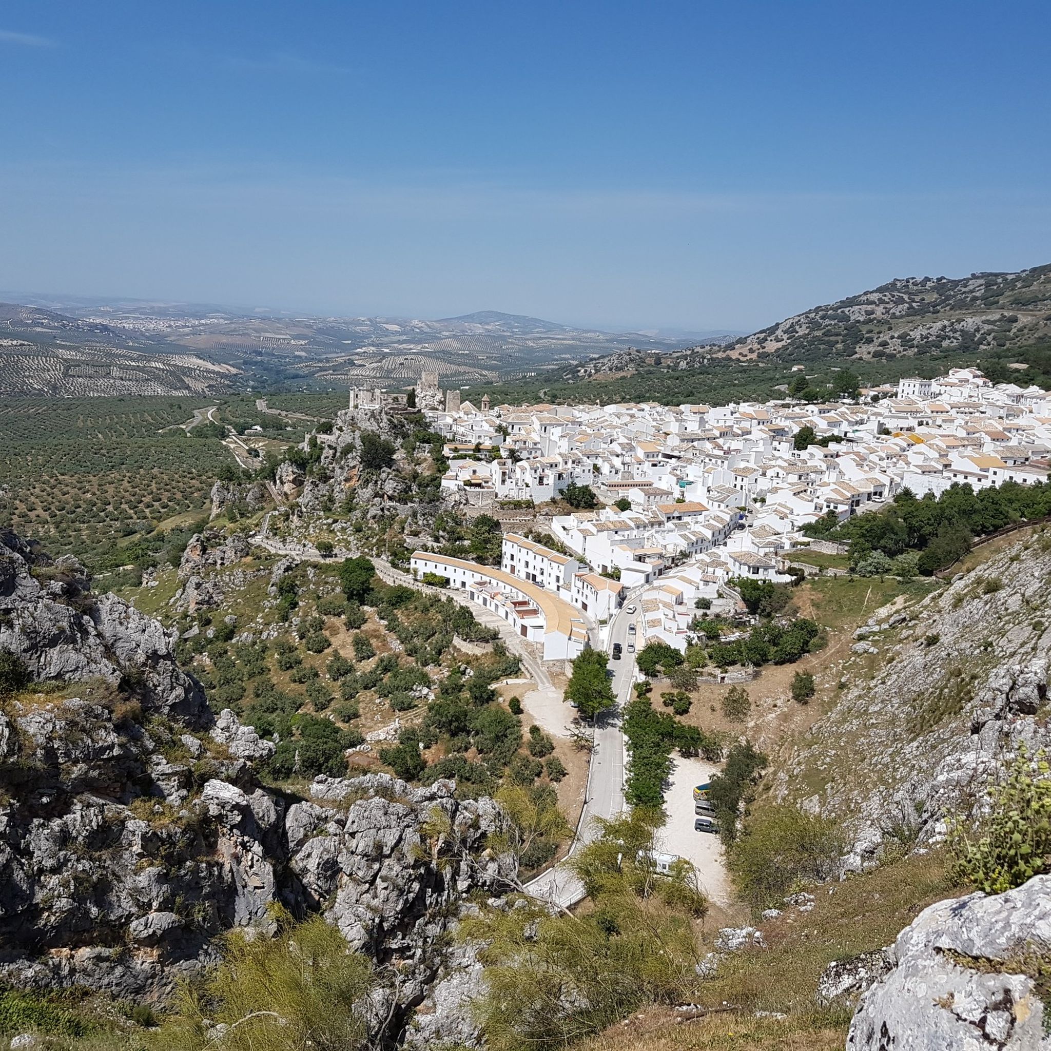
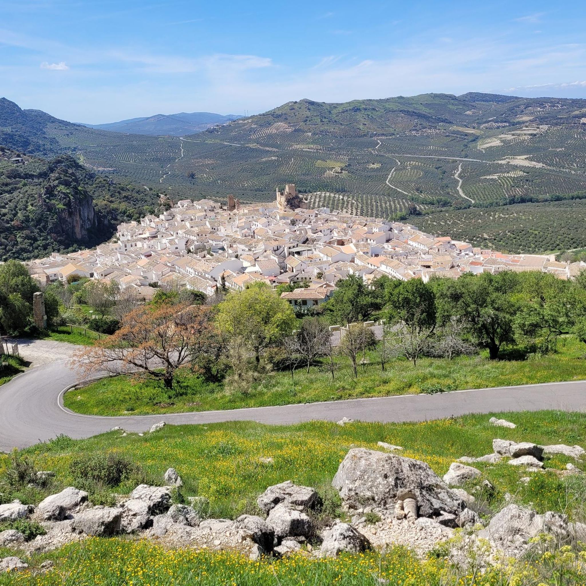
El Castillo de Zuheros is a historic fortress in the small municipality of Zuheros. The castle sits spectacularly on a rock and has become a landmark of the region. The castle's origins date back to the Moors in the 9th century. It was strategically built on a limestone cliff to control and defend the region. Its location made it almost impregnable.
0
0

The Zuheros Viaduct crosses the embedded bed of the Bailón River. It has a length of 104 meters resolved into two lateral sections of 31.5 meters and a central section of 41.0 meters. Its structure is metallic and is very similar to that of the Guadajoz River Viaduct. It seems that both projects were drawn up by the same engineers, Alessandri and Delaperrière.
9
0
El Castillo de Zuheros stands spectacularly on a rock and offers impressive views of the Sierra Subbética. The castle is a major landmark in the region. The castle's origins date back to the Moors in the 9th century. It was strategically built on a limestone cliff to control and defend the region. Its location made it almost impregnable. It was part of a network of castles designed to secure Moorish influence in Andalusia. In 1240, Zuheros was conquered by the troops of Ferdinand III of Castile. The castle passed into Christian ownership and was integrated into the kingdom's defensive structure. With the end of its military importance in the region, after the conquest of Granada in 1492, the castle began to decline in importance. Parts of the complex were destroyed by earthquakes and neglect over the centuries. In 1964, the towers were reconstructed as they can be seen in their current form. The ruins of the castle are now one of the main attractions of Zuheros and can be visited.
9
0
El Castillo de Zuheros is a historic fortress in the small municipality of Zuheros. The castle sits spectacularly on a rock and has become a landmark in the region. The castle's origins date back to the Moors in the 9th century. It was strategically built on a limestone cliff to control and defend the region. Its location made it almost impregnable. The viaduct is a historic remnant of the old railway line and offers an elevated platform with unobstructed views of the surrounding landscapes. The section near Zuheros is particularly spectacular as the viaduct crosses a gorge through which the Bailón River flows. From here, Zuheros Castle rises majestically above the village, embedded in a rock. The castle seems to be one with the landscape as it is integrated directly into the limestone. The view of Zuheros Castle from the viaduct is a perfect example of the unique combination of nature and history that characterizes the Córdoba region. It is a moment that makes every bike ride along the Vía Verde unforgettable.
9
0

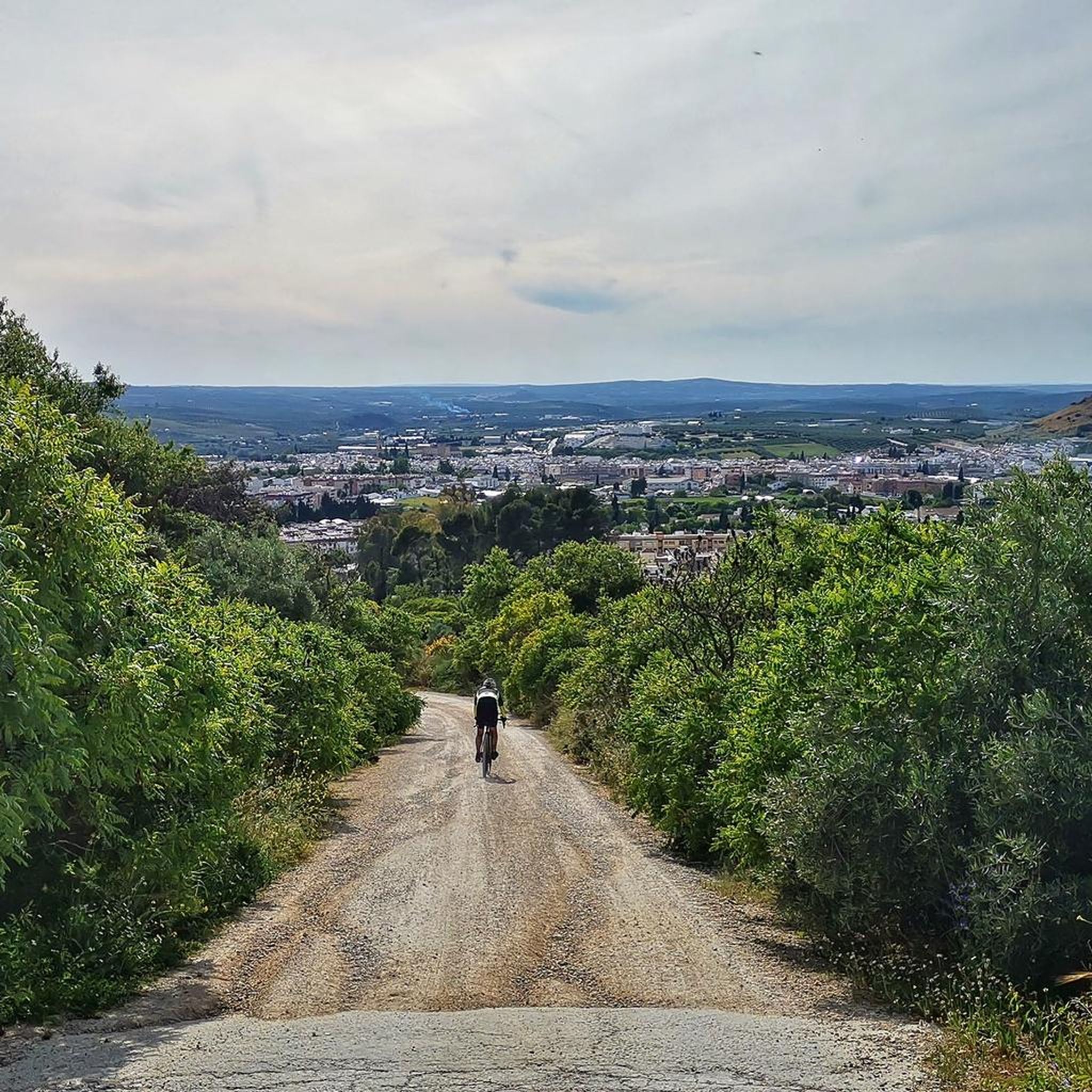
From Zuheros Lucena is about 90 minutes by bike, it's on the same Via Verde as Zuheros.
2
0
The Doña Mencía station is the only one of the stations that we will find along the nature trail, built on one floor. A few meters from the passenger building and on the same side of the road, there is a building that has been rehabilitated as a bicycle center. This is the old freight dock of the station. The goods were located on open-air docks or other covered docks, depending on their economic value or characteristics. The closed docks consisted of open roof naves, with a small office for the clerk who was responsible for the delivery notes. On one side, the wagons were loaded or unloaded, while on the other side, the vehicles that arrived by road did so. In order to protect the goods during loading and unloading, these buildings were designed with a gable roof that ends in two large lateral overhangs.
10
0
Frequently Asked Questions
How many running routes are available in Sierras Subbéticas?
There are over 15 dedicated running routes in Sierras Subbéticas, offering a variety of experiences from moderate paths to challenging mountain trails. The komoot community has explored these diverse routes more than 750 times.
Are there any easy or beginner-friendly jogging routes in Sierras Subbéticas?
While many routes offer a challenge, you can find moderate options. For instance, the Poljé of the Nava de Cabra – Las Chorreras Signpost loop from Aparcamiento Las Navas is a moderate 6.3-mile (10.1 km) route with minimal elevation gain, making it suitable for those looking for a less strenuous run.
What kind of natural landmarks can I see while running in Sierras Subbéticas?
Sierras Subbéticas is rich in unique geological formations. You can encounter impressive karst landscapes, deep gorges, and even waterfalls. Notable sights include the Chorreras de la Fuenseca and the Poljé of the Nava de Cabra. The region's Mediterranean vegetation, with holm oaks and aromatic herbs, also adds to the scenic beauty.
Are there any circular jogging routes in the region?
Yes, many routes in Sierras Subbéticas are designed as loops. A popular circular option is the Chorreras de la Fuenseca y Poljé de la Nava de Cabra — circular por el Parque Natural Sierra Subbéticas, an 8.2-mile (13.2 km) trail that offers a moderate challenge through the natural park.
What are the more challenging running trails like in Sierras Subbéticas?
For experienced runners seeking a challenge, Sierras Subbéticas offers routes with significant elevation changes and rugged terrain. The Bat Cave and Bailon River Canyon - circular from Zuheros is a difficult 8.2-mile (13.2 km) path with over 2,000 feet (616 meters) of ascent, providing an intense workout amidst stunning scenery.
Can I find long-distance running trails in Sierras Subbéticas?
Absolutely. The region is home to the Vía Verde de la Subbética, an old railway line converted into a greenway, offering a relatively flat and accessible 128 km (79.5 miles) path suitable for long-distance running. Additionally, routes like the Roman Quarry – Camino de Góngora loop from Venta Los Pelaos 1913 extend over 11 miles (18 km) through challenging landscapes.
What do other runners say about the trails in Sierras Subbéticas?
The running routes in Sierras Subbéticas are highly rated by the komoot community, with an average score of 4.5 stars. Runners often praise the unique karst topography, the diverse Mediterranean forests, and the accessible Vía Verde, which together offer varied terrain for all ability levels.
Are there any routes that pass by interesting caves or geological formations?
Yes, the region is famous for its caves and geological features. The Bat Cave (Cueva de los Murciélagos) near Zuheros is a significant attraction, known for its impressive stalactites and stalagmites. The Limestone formations and caves in the Bailón Canyon also offer fascinating sights along certain trails.
What is the best time of year for jogging in Sierras Subbéticas?
The Sierras Subbéticas can be enjoyed for jogging throughout much of the year. Spring is particularly beautiful, with blooming orchids and vibrant vegetation. Autumn also offers pleasant temperatures and colorful landscapes. Summers can be hot, so early mornings or late evenings are recommended if running during this season.
Are there any routes with good viewpoints or panoramic vistas?
Given the mountainous terrain and peaks like La Tiñosa and El Picacho, many routes offer stunning panoramic views of the karst landscape and surrounding countryside. The dramatic slopes and deep gorges naturally provide numerous scenic overlooks for runners to enjoy.
Are there any moderate running routes that are slightly longer?
For a moderate yet longer run, consider the Navazuelo – Las Chorreras Signpost loop from Ermita Nuestra Señora de la Sierra. This route spans 7.5 miles (12.1 km) with a moderate elevation gain, offering a good balance of distance and manageable difficulty.
Most popular routes in Sierras Subbéticas
Most popular attractions in Sierras Subbéticas

Get inspired with the komoot mobile app


Explore more
Browse the best Running Trails & Routes in other regions.
