The best road cycling routes in Sierras Subbéticas
4.7
(28)
4,909
riders
10
rides
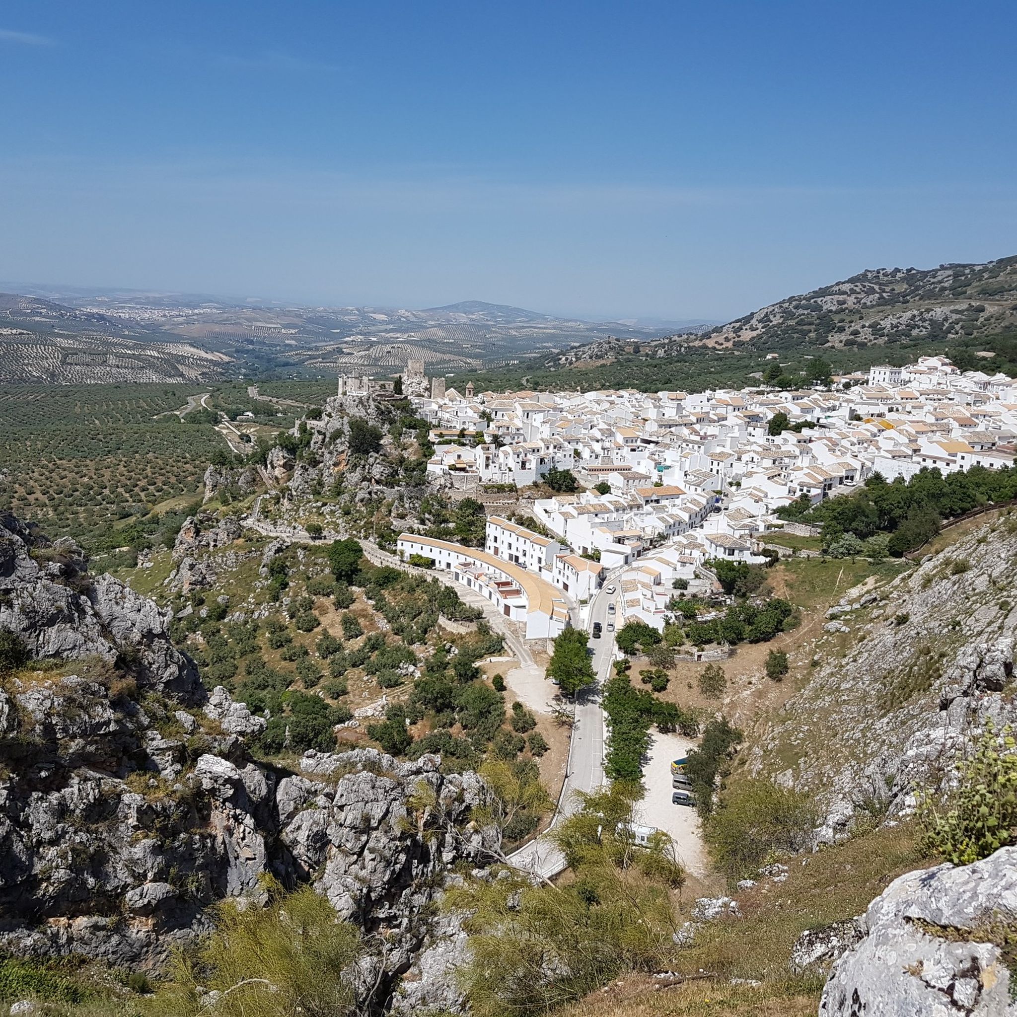
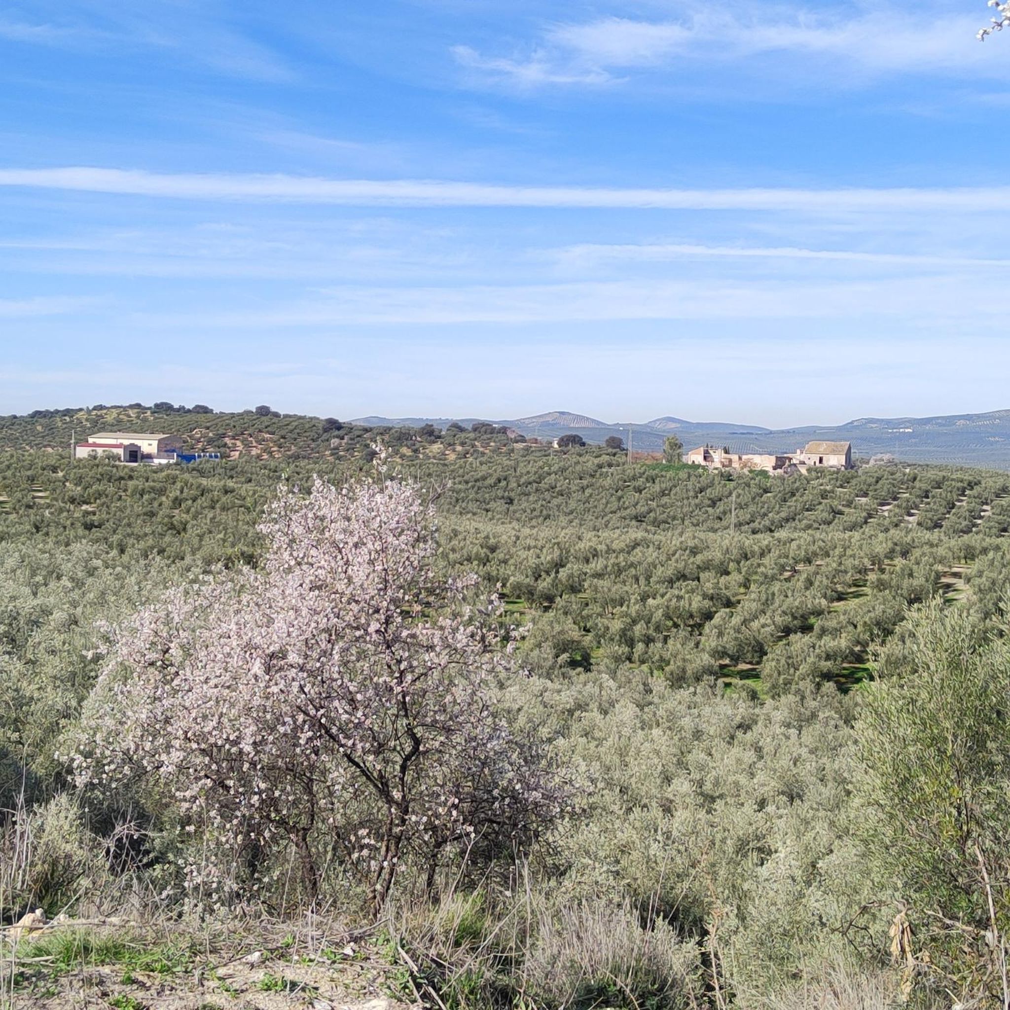
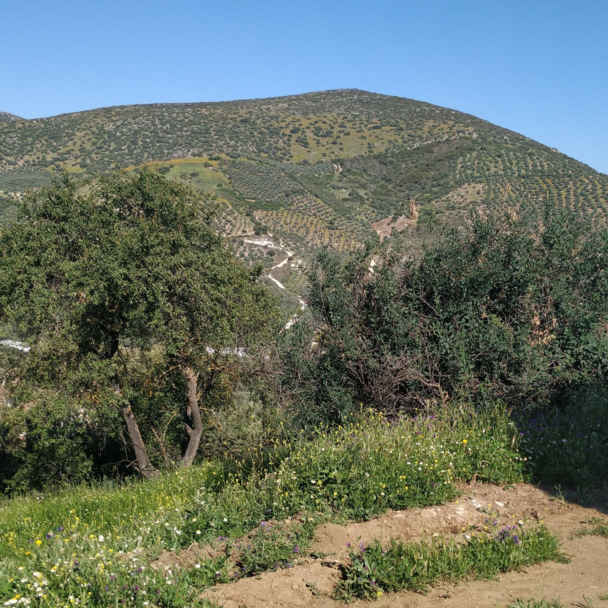
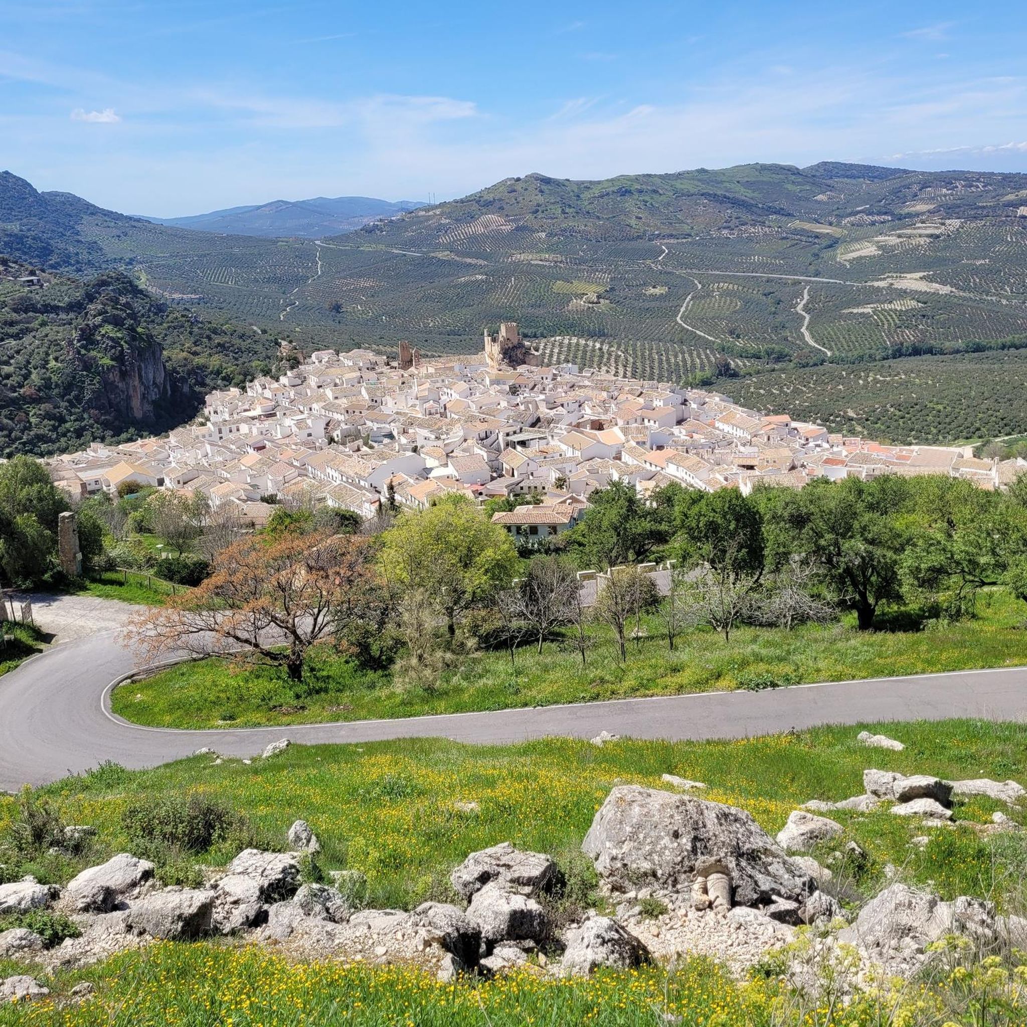
Road cycling in Sierras Subbéticas offers diverse terrain across a UNESCO Global Geopark, characterized by its dramatic limestone karst landscape and extensive olive groves. The region features a network of well-maintained routes, ranging from gentle greenways to challenging mountain roads. Cyclists will encounter varied elevations, from river valleys to mountain peaks, providing a range of experiences. This area combines natural features with charming white villages, making it suitable for different road cycling preferences.
Best road cycling routes in Sierras Subbéticas
…Last updated: September 30, 2026
22
riders
46.0km
02:27
850m
850m
Moderate road ride. Good fitness required. Mostly well-paved surfaces and easy to ride.
29
riders
53.5km
02:42
850m
850m
Moderate road ride. Good fitness required. Some segments of this route may be unpaved and difficult to ride.

30
riders
94.5km
05:26
1,950m
1,950m
Hard road ride. Very good fitness required. Some segments of this route may be unpaved and difficult to ride.
12
riders
23.3km
01:10
370m
370m
Moderate road ride. Good fitness required. Mostly well-paved surfaces and easy to ride.
20
riders
44.4km
02:20
700m
700m
Moderate road ride. Good fitness required. Some segments of this route may be unpaved and difficult to ride.
Get access to more routes and recommendations from other explorers.
Already have an account?
Our route recommendations are based on thousands of hikes, rides, and runs completed by other people on komoot.
Start today with a free account
Your next adventure awaits.

Other adventures in Sierras Subbéticas

Tips from the Community

If you're going to copy, then copy the best!
0
0

The Adarve is a cobbled street about 400 meters long that encircles the Barrio de la Villa between the Castle and the Plaza de la Puerta del Sol, bordering a natural slope that ensured the defense of the city in times of siege
0
0

Good long fast down hill section.
0
0

Iznájar's location on a small cape surrounded by water makes it a place of great scenic value. The entire town has infinite viewpoints that make us enjoy the views of the Genil River and the reservoir. Passing through Iznájar, it is worth getting lost in its narrow streets and, above all, seeing the Patio de las Comedias, full of blue pots.
1
0
From Puente Fernández we can see the Genil River that feeds the Iznájar Reservoir and part of the old Molinillo bridge, which is covered when the water level is high.
2
1
Going down from Priego de Córdoba, from this point we have a perfect view of the municipality of Carcabuey and its castle located on a hill, watching over what is at its feet. The castle, also called the castle of Fuente Úbeda, is a Hispano-Muslim fortress from the 11th century.
3
0
Frequently Asked Questions
What is the general difficulty level for road cycling in Sierras Subbéticas?
Sierras Subbéticas offers a diverse range of road cycling experiences. You'll find everything from largely flat greenways, like sections of the Vía Verde del Aceite, to challenging mountain roads with significant elevation gains. The region has routes suitable for various abilities, including 4 easy, 91 moderate, and 155 difficult routes, ensuring options for both casual riders and experienced climbers.
Are there any easy or beginner-friendly road cycling routes in Sierras Subbéticas?
Yes, for those seeking an easier ride, the Vía Verde del Aceite is an excellent choice. This disused railway line offers a largely flat experience with gentle slopes (max. 2-3%), making it suitable for all fitness levels. It allows cyclists to enjoy the 'sea of olive trees' and pass through charming white villages without demanding climbs. While the guide lists 4 easy routes, many of the 91 moderate routes can also be approached by beginners with some fitness.
What kind of climbs can I expect on road cycling routes in Sierras Subbéticas?
The region is known for its varied terrain, including opportunities for significant elevation gains. Areas like the Sierra de Cabra and Sierra de Horconera feature routes with challenging ascents, some even including category 4 climbs. Routes such as the Carcabuey Castle – Caliph Bridge loop from Zagrilla Alta, for example, involve over 1000 meters of climbing, offering a true test for experienced road cyclists.
What natural features and landmarks can I see while road cycling in Sierras Subbéticas?
Road cycling in Sierras Subbéticas offers stunning views of its UNESCO Global Geopark status landscape. You'll encounter dramatic limestone karst formations, vast 'seas of olive trees,' and picturesque river valleys. Notable natural features include the impressive Bat Cave near Zuheros, the Poljé of the Nava de Cabra, and the Limestone formations and caves in the Bailón Canyon. Many routes also pass over impressive 19th-century steel viaducts, remnants of the old railway lines.
Are there any charming villages to visit along the road cycling routes?
Absolutely. The region is dotted with charming white villages (pueblos blancos) that offer a glimpse into authentic rural Andalusian culture. Routes often connect villages such as Cabra, Priego de Córdoba, Iznájar, Luque, Zuheros, Carcabuey, Doña Mencía, and Rute. These villages often feature historical sites like Moorish-era castles and Baroque churches, providing excellent opportunities for cultural stops during your ride.
What is the best time of year for road cycling in Sierras Subbéticas?
The Sierras Subbéticas region is generally pleasant for cycling in spring and autumn. Spring brings wildflowers and mild temperatures, while autumn offers comfortable conditions and beautiful scenery. Summers can be very hot, making early morning or late afternoon rides preferable. Winters are generally mild, though some higher elevations might experience cooler temperatures.
Are there cafes or places to stop for refreshments along the routes?
Yes, many of the old railway stations along the Vía Verde del Aceite have been repurposed into cafes or visitor centers, offering convenient stops for refreshments. Additionally, the numerous white villages scattered throughout the region provide ample opportunities to find local cafes, restaurants, and shops to refuel and experience local cuisine.
How long do road cycling routes in Sierras Subbéticas typically take?
Route durations vary significantly depending on distance, elevation, and your cycling pace. For example, the popular Fuente del Río – Sima Viaduct loop from Cabra, which is 50.9 km, typically takes around 2 hours 45 minutes. More challenging routes, like the 60.1 km Carcabuey Castle – Caliph Bridge loop from Zagrilla Alta, can take closer to 3 hours 7 minutes due to significant elevation gains.
Are there family-friendly road cycling options in Sierras Subbéticas?
The Vía Verde del Aceite is particularly well-suited for families due to its largely flat and well-maintained surface, following a disused railway line. Its gentle gradients (max. 2-3%) make it accessible for children and less experienced riders, allowing families to enjoy the scenic olive groves and charming villages together. Many of the 4 easy routes listed in the guide would also be suitable for families.
Can I find loop routes for road cycling in Sierras Subbéticas?
Yes, many road cycling routes in Sierras Subbéticas are designed as loops, offering convenient starting and ending points. Examples include the popular Fuente del Río – Sima Viaduct loop from Cabra and the Luque Castle – Torre de Barcas loop from Luque. These circular routes allow you to explore diverse landscapes without needing to retrace your path.
Where can I park my car when starting a road cycling route?
Many of the white villages and repurposed railway stations along the Vía Verde del Aceite offer parking facilities. For specific routes, it's advisable to check the route details on komoot, as they often provide information on suitable starting points and parking availability in nearby towns like Cabra, Luque, or Zagrilla Alta.
Is public transport an option for accessing road cycling routes in Sierras Subbéticas?
While the Vía Verde del Aceite follows an old railway line, direct public transport options specifically for cyclists to access all points of the routes might be limited. However, some of the larger towns in the region, such as Cabra or Priego de Córdoba, may have bus connections. It's recommended to research local bus services for specific routes and their bike transport policies if you plan to use public transport.
Are there scenic viewpoints accessible by road bike in Sierras Subbéticas?
The region is rich in panoramic vistas. El Picacho, in the Sierra de Cabra, is famously known as the 'Balcón de Andalucía' (Andalusia's Balcony) for its breathtaking views across five Andalusian provinces. Many routes wind through mountain scenery and river valleys, naturally offering numerous scenic overlooks of the dramatic karst landscape and expansive olive groves.
Most popular routes in Sierras Subbéticas
Most popular attractions in Sierras Subbéticas

Get inspired with the komoot mobile app


Explore more
Browse the best Road cycling routes in other regions.
