The best walks and hikes in Sierra Subbetica
4.4
(453)
2,265
hikers
47
hikes
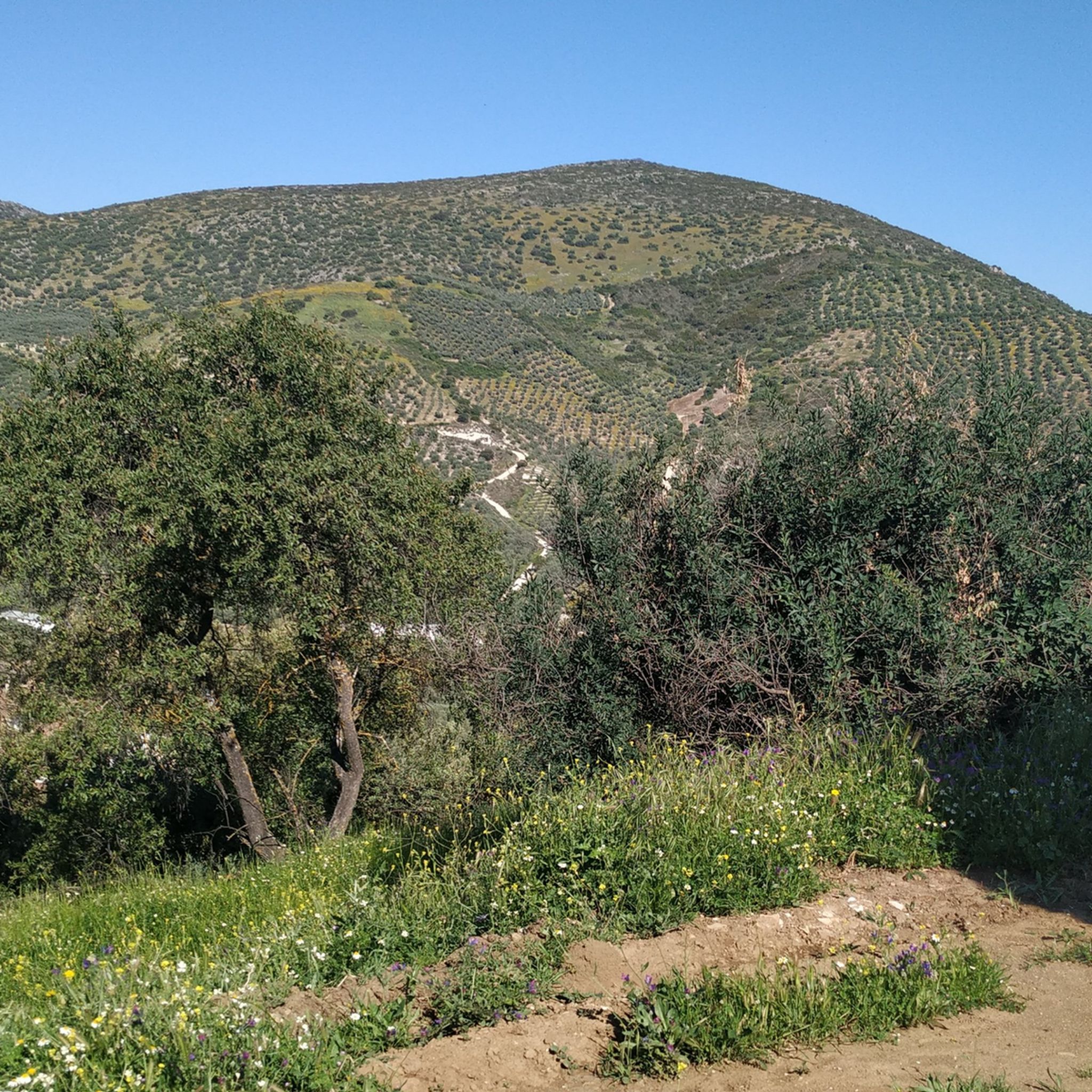
Hiking in Sierra Subbetica offers diverse terrain within a UNESCO Global Geopark in Andalusia, Spain. The region is characterized by dramatic karst topography, featuring deep canyons, numerous caves, and distinctive poljes and lapies formations. Mountain ranges and peaks, including La Tiñosa at 1,570 meters (5,151 feet), provide varied elevation profiles. Beyond the rugged peaks, the landscape includes extensive olive groves and Mediterranean vegetation, creating a mix of open and forested paths.
Best hiking trails in Sierra Subbetica
- The most popular hiking route is Río Bailón Canyon Trail, a 7.6 miles (12.3 km) moderate trail that takes 3 hours 43 minutes to complete. This route offers views of the distinctive karst landscape and the canyon.
- Another top favourite among local hikers is La Tiñosa Public Trail, a moderate 7.8 miles (12.5 km) path. This trail leads to the highest peak in Córdoba province, providing extensive panoramic views.
- Local hikers also love the Chorreras de la Fuenseca from Zuheros — circular through the Parque Natural Sierras Subbéticas, a 10.0 miles (16.1 km) trail leading through the natural park, often completed in about 4 hours 48 minutes.
- Hiking in Sierra Subbetica is defined by karst canyons, olive groves, and mountain peaks. The network offers options for different ability levels, with 8 easy, 35 moderate, and 4 difficult hiking trails available.
- The routes in Sierra Subbetica are highly rated by the komoot community with an average score of 4.4 stars from over 300 reviews. More than 1600 hikers have used komoot to explore Sierra Subbetica's varied terrain.
Last updated: July 17, 2026
4.7
(46)
186
hikers
12.3km
03:43
410m
410m
Moderate hike. Good fitness required. Mostly accessible paths. Sure-footedness required.
4.8
(22)
182
hikers
12.5km
04:28
700m
700m
Moderate hike. Good fitness required. Mostly accessible paths. Sure-footedness required.

Sign up for free
4.1
(10)
46
hikers
7.85km
02:33
370m
370m
Moderate hike. Good fitness required. Easily-accessible paths. Suitable for all skill levels.
4.7
(9)
42
hikers
Moderate hike. Good fitness required. Easily-accessible paths. Suitable for all skill levels.
4.1
(9)
37
hikers
11.2km
03:26
420m
420m
Moderate hike. Good fitness required. Easily-accessible paths. Suitable for all skill levels.
Get access to more routes and recommendations from other explorers.
Sign up for free
Already have an account?
Our route recommendations are based on thousands of hikes, rides, and runs completed by other people on komoot.
Start today with a free account
Your next adventure awaits.
Login or Signup

Other adventures in Sierra Subbetica

Tips from the Community


Be careful when exploring! You've left the official path for this.
1
0

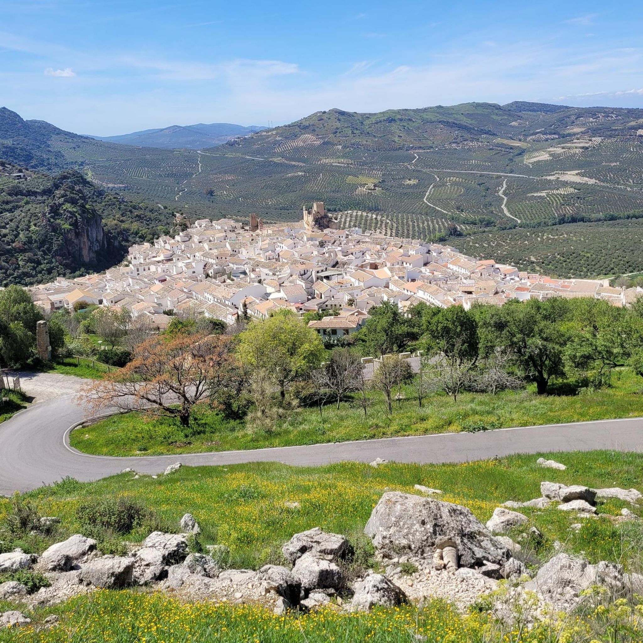
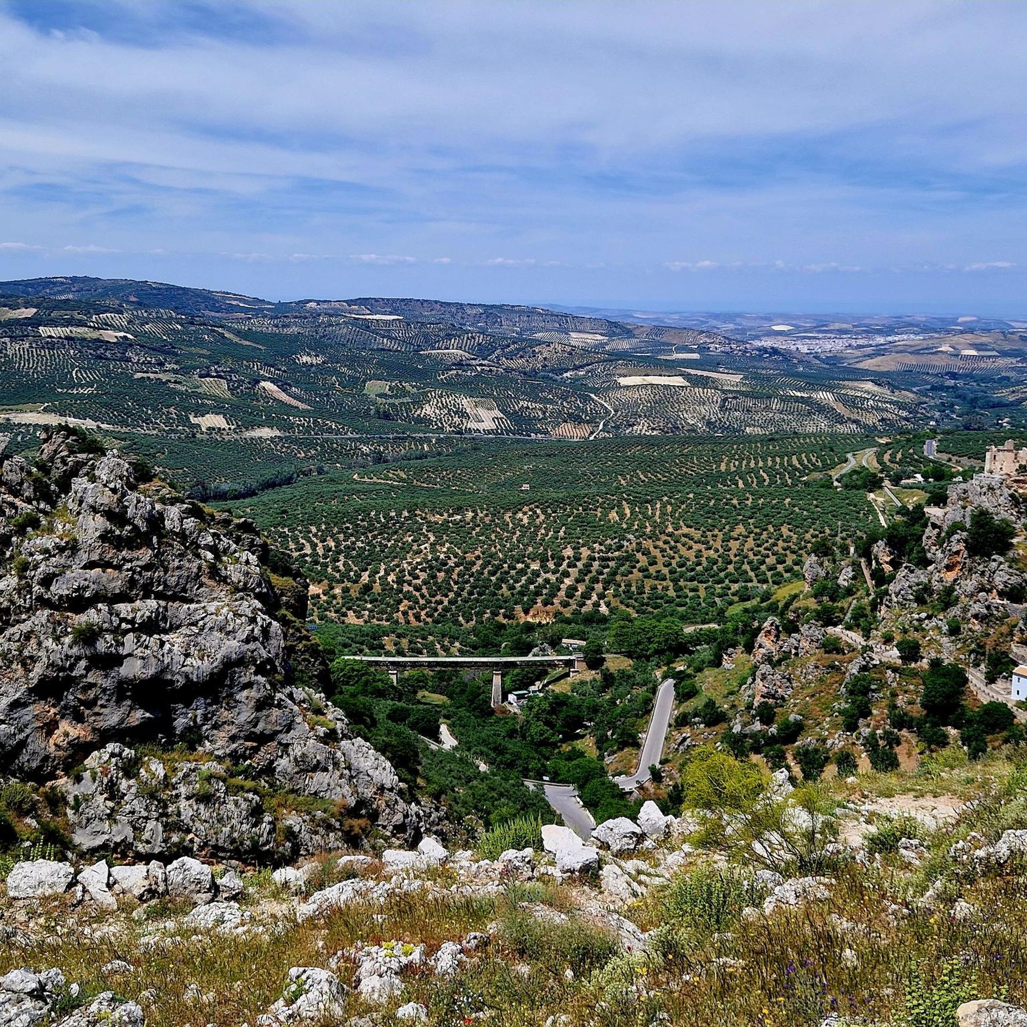
The viewpoint gives you impressive views of the canyon formed by the Bailón River and the town of Zuheros.
1
0
This cave is known as the Friar's because of the stalacmite at the entrance, which many say resembles one of these religious people.
1
0

Beautiful views. There is no shade, so it should be taken into account if you wish to rest before starting the return.
1
0
Good views, although the cave is more a place of passage than a place of rest, because it is, above all, a place to shelter animals.
0
0

A cave with many interesting rock formations and a magnificent view of the Arroyo Bailón.
0
0

Privileged views of the Bailón River Canyon. Mandatory stop on the way up to the Cueva de los Murciélagos.
2
0
Frequently Asked Questions
What kind of terrain can I expect when hiking in Sierra Subbetica?
Sierra Subbetica is known for its dramatic karst topography, featuring deep canyons, numerous caves, and distinctive poljes and lapies formations. You'll encounter rugged mountain ranges, including the highest peak in Córdoba province, La Tiñosa, alongside extensive olive groves and Mediterranean vegetation, offering a mix of open and forested paths.
Are there any easy hiking trails suitable for beginners in Sierra Subbetica?
Yes, Sierra Subbetica offers a good selection of trails for all abilities. There are 8 easy hiking trails available, perfect for beginners or those looking for a more relaxed walk. These routes allow you to experience the region's natural beauty without demanding ascents.
What are some notable natural features or landmarks to look out for on hikes?
The region is rich in geological wonders. You can explore impressive caves like the Bat Cave in Zuheros, or witness the unique Limestone formations and caves in the Bailón Canyon. Don't miss the Chorreras de la Fuenseca or Las Chorreras Waterfall for beautiful water features, and the Poljé of the Nava de Cabra for a distinctive karst landscape.
Can I find circular hiking routes in Sierra Subbetica?
Yes, there are several circular routes available. For example, the Chorreras de la Fuenseca from Zuheros is a popular 16.1 km circular trail that takes you through the natural park, offering varied scenery.
What is the best time of year to go hiking in Sierra Subbetica?
Spring and autumn are generally the best times for hiking in Sierra Subbetica. In spring, the landscape is vibrant with wildflowers, and temperatures are pleasant. Autumn offers cooler weather and beautiful colors. Summers can be very hot, making early morning or late afternoon hikes more advisable, while winters are mild but can have occasional rain.
Are there any trails that offer panoramic views of the region?
Absolutely. For extensive panoramic views, consider the La Tiñosa Public Trail. This route leads to La Tiñosa, the highest peak in Córdoba province, providing breathtaking vistas of the surrounding karst landscapes and valleys.
What do other hikers say about the trails in Sierra Subbetica?
The trails in Sierra Subbetica are highly rated by the komoot community, with an average score of 4.4 stars from over 300 reviews. Hikers often praise the unique karst landscapes, the well-maintained paths, and the stunning views, particularly along routes like the Río Bailón Canyon.
Are there any trails that follow old railway lines?
Yes, the Vía Verde de la Subbética is a converted old railway line that provides an accessible path for walking, cycling, and even horseback riding. It offers excellent views of the mountains, viaducts, and tunnels as it skirts the northern and western edges of the park, making it a unique way to explore the region.
What kind of wildlife might I encounter while hiking?
Sierra Subbetica is a haven for diverse wildlife. It's particularly known for its birds of prey, hosting one of Spain's largest breeding colonies of griffon vultures, along with Bonelli's eagles and peregrine falcons. You might also spot wild boars, mouflon, and various wild cats.
Are there any trails that pass through charming villages?
Many trails in Sierra Subbetica connect or pass near picturesque 'pueblos blancos' (white villages) such as Zuheros, Cabra, Priego de Córdoba, and Luque. These villages offer cultural experiences, historic sites, and local gastronomy, making them great starting or ending points for your hikes.
How many hiking routes are available in Sierra Subbetica?
There are 47 hiking routes available in Sierra Subbetica. These are categorized by difficulty, with 8 easy, 35 moderate, and 4 difficult trails, ensuring options for various fitness levels and preferences.
Most popular routes in Sierra Subbetica
Most popular attractions in Sierra Subbetica

Get inspired with the komoot mobile app


Explore more
Browse the best Hikes in other regions.
