The best road cycling routes in Pena Trevinca
5.0
(2)
143
riders
17
rides
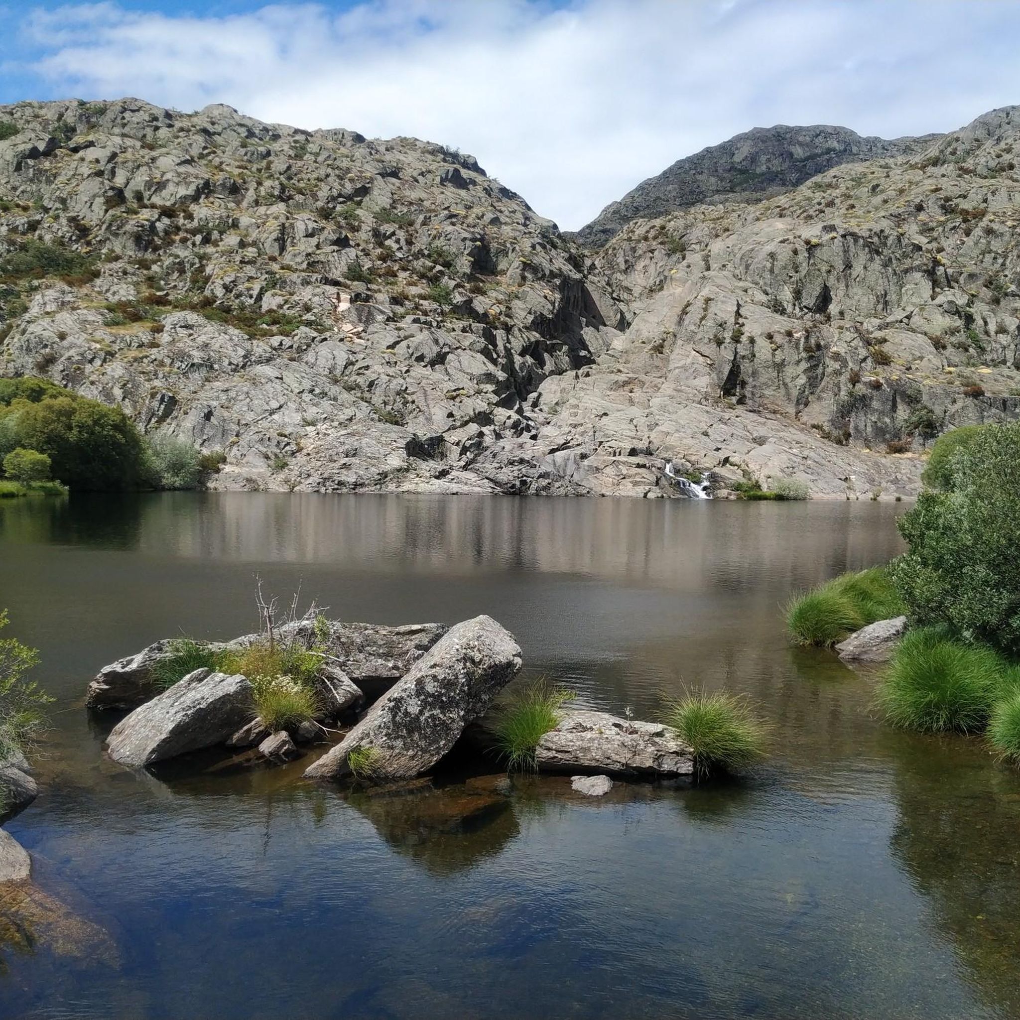
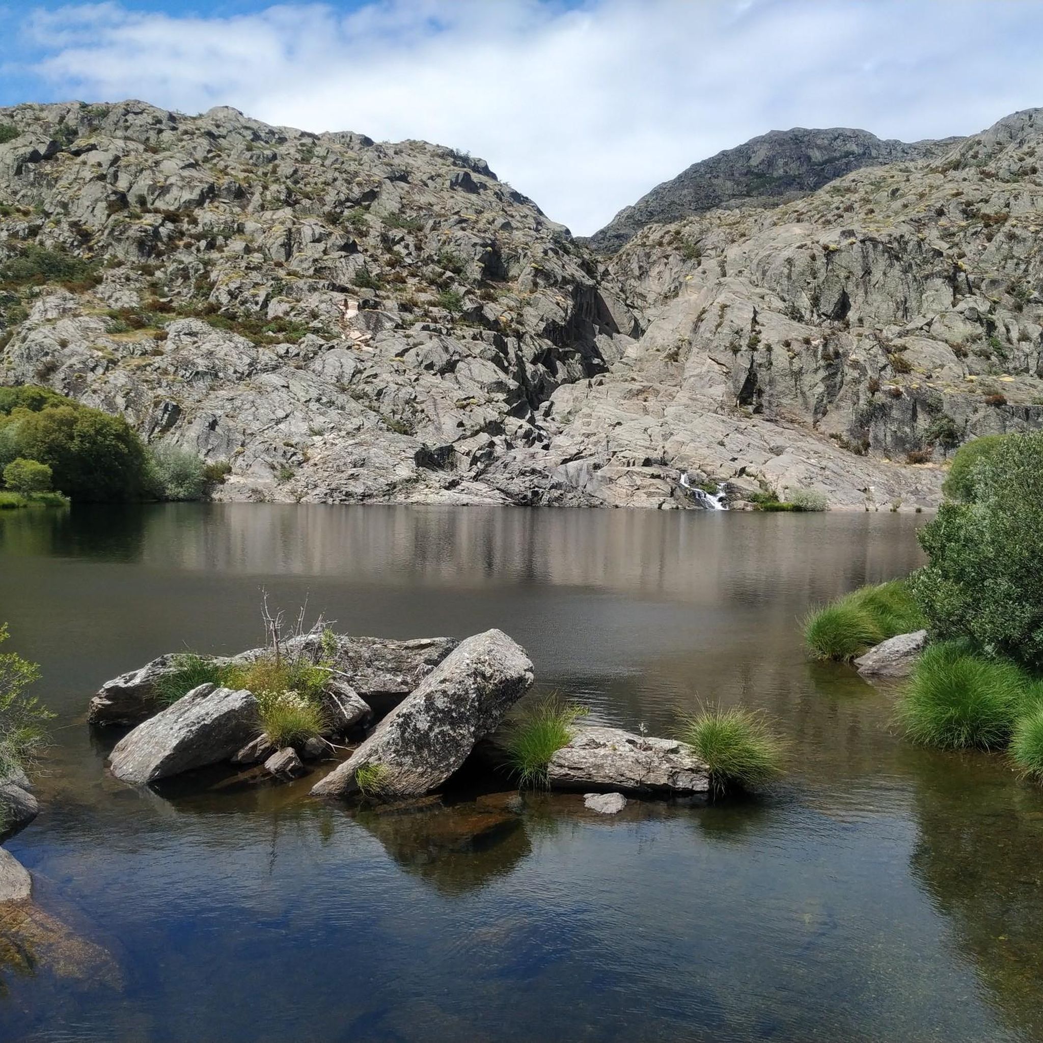
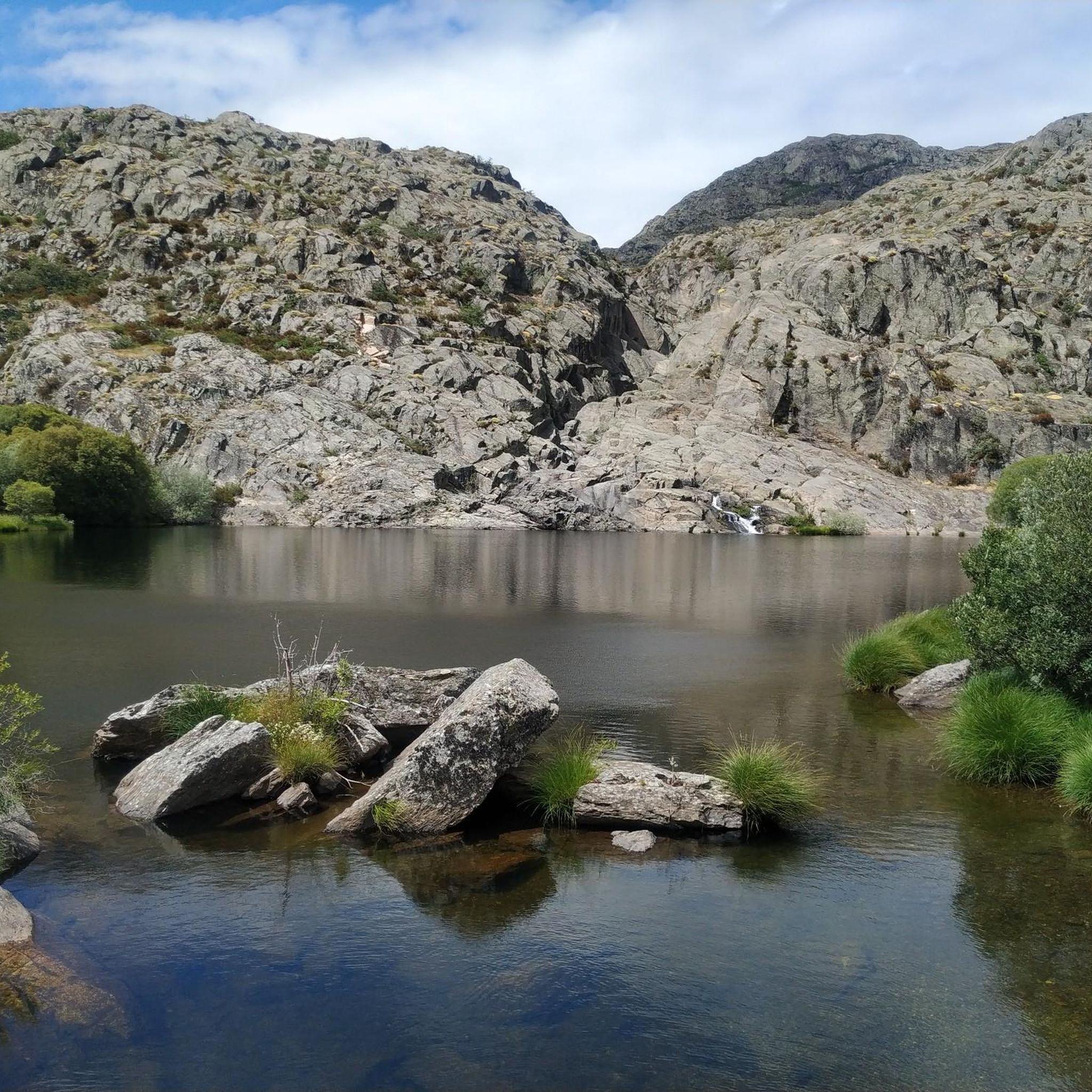
Road cycling in Pena Trevinca is characterized by high-mountain landscapes and challenging terrain in the eastern Ourense province of Spain. The region features Galicia's highest peaks, including Pena Trevinca at 2,127 meters, alongside numerous glacial lakes and deep valleys. Cyclists navigate routes through an unspoiled natural reserve, which includes the ancient Teixadal de Casaio yew forest and high mountain rivers. The area offers significant elevation gains, making it suitable for experienced road cyclists.
Best road cycling routes in Pena Trevinca
…Last updated: October 1, 2026
2
riders
78.2km
05:21
1,740m
1,740m
Hard road ride. Very good fitness required. Some segments of this route may be unpaved and difficult to ride.
15
riders
109km
06:53
2,820m
2,820m
Hard road ride. Very good fitness required. Some segments of this route may be unpaved and difficult to ride.

36
riders
50.7km
03:04
1,210m
1,210m
Hard road ride. Very good fitness required. Mostly well-paved surfaces and easy to ride.
15
riders
91.7km
03:49
1,640m
1,640m
Hard road ride. Very good fitness required. Mostly well-paved surfaces and easy to ride.
2
riders
49.7km
02:44
1,030m
1,030m
Hard road ride. Very good fitness required. Mostly well-paved surfaces and easy to ride.
Get access to more routes and recommendations from other explorers.
Already have an account?
Our route recommendations are based on thousands of hikes, rides, and runs completed by other people on komoot.
Start today with a free account
Your next adventure awaits.
Popular around Pena Trevinca

Tips from the Community

The Domingo Flórez Bridge is located at the mouth of the Cabrera River, which pours its waters into the Sil River. Its typical architecture reflects traditional Cabreira construction, and its location makes it a crossroads between the regions of La Cabrera, El Bierzo and Valdeorras. A place with history and natural beauty! 🌉🌲
17
0
With a semicircular arch façade. Inside the temple it is possible to find artistic elements such as a baroque-style altarpiece or a carving of San Antonio Abad that have a certain artistic value.
10
0

A tough climb of 8.78 km to the Col de Fonte de Cova from La Baña. Reaching 1,814m above sea level, it offers spectacular views of the Tervinca peak in Galicia. Gaining almost 700m in altitude with an average of 7.8% is a tough climb, so be prepared. The climb ends at the border between León and Galicia. Get ready for a big descent.
2
0
Ascent of 6.75 km to the Puerto de las governadas from Silván. Gaining almost 500m in altitude with an average of 7.1% is not an easy climb, so keep up the pace. The road borders the Silván river until it reaches La Baña.
2
0
Puente de Domingo Flórez is a small town on the border between Galicia and León where the Cabreira River flows into the mighty Sil River.
1
0
The Tâmega River is born in this valley on its way to Portugal and the Douro River. Enjoy biking through this beautiful, lush green valley surrounded by native trees and water.
1
0
A Pobra de Trives is a small regional town located at the foot of the mountain and access to the Manzaneda sky station. It is a great place to stop for lunch whether you go down to the Bibei river or go up to Manzaneda.
2
0

Small temple in Biobra, within the Serra da Enciña da Lastra natural park.
3
0
Frequently Asked Questions
What kind of terrain can I expect on road cycling routes in Pena Trevinca?
Pena Trevinca is characterized by high-mountain landscapes, offering challenging terrain with significant elevation gains. You'll encounter Galicia's highest peaks, deep glacial valleys, and routes that traverse an unspoiled natural reserve. The region is known for its demanding climbs and rewarding descents amidst spectacular scenery.
Are there any road cycling routes suitable for beginners in Pena Trevinca?
While Pena Trevinca is predominantly known for its challenging routes, with 12 out of 14 routes rated 'difficult', there are a couple of routes classified as 'moderate'. These routes still involve elevation but are less strenuous than the most demanding options. It's advisable to check the specific route details for elevation and distance to match your fitness level.
What natural features can I see along the road cycling routes in Pena Trevinca?
Cyclists in Pena Trevinca are treated to stunning natural features. You can expect to see numerous glacial lakes like Lagoa da Serpe and O Celo, high mountain rivers such as the Xares and Bibei, and the unique Teixadal de Casaio, one of Europe's largest ancient yew forests. The routes also offer panoramic views from high peaks.
What is the best time of year for road cycling in Pena Trevinca?
Pena Trevinca's high-mountain peaks are often snow-capped in winter, making spring, summer, and early autumn generally the best seasons for road cycling. During these months, the weather is more favorable, and the routes are typically clear of snow, allowing for safer and more enjoyable rides through the region's dramatic landscapes.
Are there any circular road cycling routes in Pena Trevinca?
Yes, many of the road cycling routes in Pena Trevinca are designed as loops, allowing you to start and finish in the same location. Examples include the challenging Peña Trebivca Return, the Alto de Covelo – Viewpoint of Viana do Bolo loop from A Mezquita-A Vilavella, and the Chaira das Lamas Viewpoint – A Pobra de Trives Town Center loop from O Barrio dos Xitanos.
What are some of the most challenging road cycling routes in Pena Trevinca?
Pena Trevinca is renowned for its challenging routes. For experienced cyclists, the Peña Trebivca Return covers 78.2 km with 1,740 meters of elevation gain. Another demanding option is the Alto de Covelo – Viewpoint of Viana do Bolo loop from A Mezquita-A Vilavella, which spans 105.7 km with 1,900 meters of ascent. These routes require good to very good fitness.
Where can I find panoramic viewpoints along the road cycling routes?
Many routes in Pena Trevinca offer spectacular panoramic views, especially from the higher elevations. The demanding ascents are often rewarded with extensive vistas of the protected natural space, including the glacial lakes and mountain ranges. Routes like the Chaira das Lamas Viewpoint – A Pobra de Trives Town Center loop from O Barrio dos Xitanos specifically highlight viewpoints.
Are there any amenities like cafes or accommodation near the road cycling routes?
While Pena Trevinca offers a sense of wilderness, surrounding villages such as Carballeda de Valdeorras can serve as starting points or stops for exploring. These villages typically provide basic amenities, including cafes and accommodation, though options may be limited due to the region's largely untouched nature. It's advisable to plan your stops in advance.
What makes Pena Trevinca a unique destination for road cycling?
Pena Trevinca stands out for its unique combination of high-mountain landscapes, significant glacial lake systems (second only to the Pyrenees in the Iberian Peninsula), and ancient forests like the Teixadal de Casaio. The region's largely undisturbed environment provides a sense of wilderness and tranquility, making it ideal for cyclists seeking challenging routes amidst unspoiled natural beauty.
How many road cycling routes are available in Pena Trevinca?
There are 14 road cycling routes available in Pena Trevinca, ranging in difficulty. The majority of these, 12 routes, are classified as 'difficult', while 2 are considered 'moderate'. This offers a good selection for experienced cyclists looking for a challenge.
What is the longest road cycling route in Pena Trevinca?
The longest road cycling route in Pena Trevinca is the Alto de Covelo – Viewpoint of Viana do Bolo loop from A Mezquita-A Vilavella, which spans approximately 105.7 km (65.7 miles) and features an impressive 1,900 meters of elevation gain.
Can I find routes that explore the glacial lakes of Pena Trevinca?
Yes, the region is dotted with numerous glacial lakes, and many routes will bring you close to these natural wonders. Lakes like Lagoa da Serpe and O Celo are known for their pure waters and are often highlights along the cycling paths, offering scenic stops amidst your ride.

Get inspired with the komoot mobile app


Explore more
Browse the best Road cycling routes in other regions.
