The best walks and hikes in Kurjenrahkan Kansallispuisto
4.6
(74)
902
hikers
18
hikes
Hiking in Kurjenrahkan Kansallispuisto offers access to distinctive mire landscapes and ancient forests in Southwest Finland. The park is characterized by extensive mires like Kurjenrahka and Vajosuo, featuring peatlands, ponds, and hummocks. Ancient forests, such as Pukkipalo, provide diverse ecosystems with varying tree ages and abundant decayed wood. Swampy-shored lakes and ponds, including Savojärvi, are also prominent natural features within the park.
Best hiking trails in Kurjenrahkan Kansallispuisto
- The most popular hiking route is Lake Savojärvi Trail – Kurjenrahka National Park, a 4.2 miles (6.7 km) trail that takes 1 hour 42 minutes to complete, circling the lake and offering views of its swampy shores.
- Another top favourite among local hikers is Observation tower – Kuhankuono Boundary Point loop from Töykkälän laavu, a moderate 6.9 miles (11.1 km) path that includes the historic Kuhankuono Boundary Stone and an observation tower.
- Local hikers also love the Boardwalk section – Vajosuon Shelter loop from Laukola, a 2.3 miles (3.8 km) trail leading through the Vajosuo Mire, often completed in about 57 minutes.
- Hiking in Kurjenrahkan Kansallispuisto is defined by extensive mire landscapes, ancient forests, and swampy-shored lakes. The network offers options for both easy walks and more moderate excursions.
- The routes in Kurjenrahkan Kansallispuisto are highly rated by the komoot community with an average score of 4.8 stars from over 50 reviews. More than 800 hikers have used komoot to explore Kurjenrahkan Kansallispuisto's varied terrain.
Last updated: July 20, 2026
4.7
(57)
636
hikers
6.75km
01:42
10m
10m
Easy hike. Great for any fitness level. Easily-accessible paths. Suitable for all skill levels.
5.0
(4)
30
hikers
31.2km
07:58
100m
100m
Hard hike. Very good fitness required. Easily-accessible paths. Suitable for all skill levels.

Sign up for free
5.0
(7)
46
hikers
Moderate hike. Good fitness required. Easily-accessible paths. Suitable for all skill levels.
30
hikers
3.83km
00:58
10m
10m
Easy hike. Great for any fitness level. Easily-accessible paths. Suitable for all skill levels.
25
hikers
Hard hike. Very good fitness required. Easily-accessible paths. Suitable for all skill levels.
Get access to more routes and recommendations from other explorers.
Sign up for free
Already have an account?
Our route recommendations are based on thousands of hikes, rides, and runs completed by other people on komoot.
Start today with a free account
Your next adventure awaits.
Login or Signup
Other adventures in Kurjenrahkan Kansallispuisto

Tips from the Community


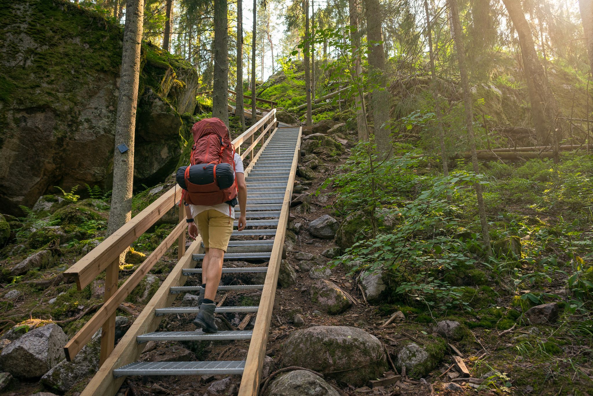
This observation tower is a great place for a break if you're taking on the 30-kilometre Vajosuo Mire loop. From here, you can admire your scenic surroundings, some of the finest primeval forest in southwest Finland.
0
0
There are a number of amenities here, including a campsite, public toilets and a public sauna. Just what the doctor ordered after a run around the lake.
0
0
Lake Savojärvi is a gorgeous place to explore in the Kurjenrahka National Park. Runners can enjoy a loop of the lake, which is flat and works out at around 6.5 kilometres.
0
0
This little visitor hut provides information about the national park and the trails. As well as this, you can find out about the cranes that inhabit the region.
0
0

Here you can find a beautiful little boardwalk section on your hike.
0
0

Sauna house near Rantapiha with two changing rooms and a sauna room. The sauna is open to the public from noon to 8:00 PM. The cost is €2 per adult, which is simply dropped into a box. The stove must be heated with wood, which is located in an adjacent shed. You can easily cool off in Lake Savojärvi. Those who prefer to be on their own can book the sauna in the morning or from 8:00 PM to 10:00 PM. There is a drinking water tap outside the sauna house.
0
0
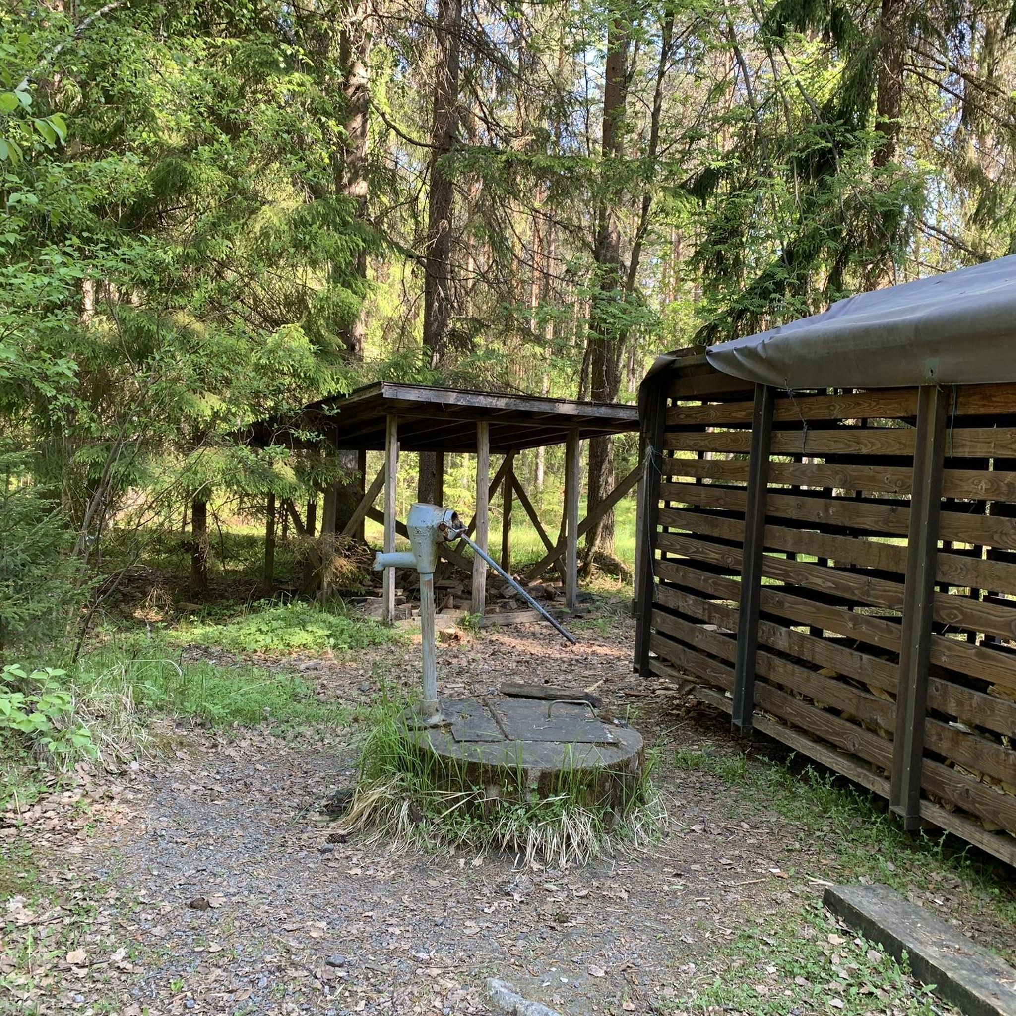
Weather shelter for overnight stays in Kurjenrahka National Park. There's a barbecue area with a log splitter and benches around it. There's also an outhouse.
0
0
Frequently Asked Questions
What kind of terrain can I expect when hiking in Kurjenrahkan Kansallispuisto?
Kurjenrahkan Kansallispuisto is renowned for its distinctive mire landscapes, featuring extensive peatlands, ponds, and hummocks. You'll also find ancient forests, like Pukkipalo, with diverse ecosystems and varying tree ages. Trails often include boardwalks over wet areas, providing a unique hiking experience through these natural features.
Are there any easy or beginner-friendly hiking routes in the park?
Yes, the park offers several easy routes suitable for beginners. For example, the Boardwalk section – Vajosuon Shelter loop from Laukola is an easy 3.8 km trail that takes you through the Vajosuo Mire. The Lake Savojärvi Trail – Kurjenrahka National Park is also rated easy, offering a 6.7 km loop around the lake.
What are some notable landmarks or attractions to see along the trails?
Hikers can discover several interesting points. The historic Kuhankuono Boundary Point, dating back to 1381, marks the intersection of seven municipalities. There's also an Observation tower near Vajosuo Mire, offering scenic views and bird-watching opportunities. Additionally, the Kurjenpesä national park house serves as an information point.
Is Kurjenrahkan Kansallispuisto suitable for families with children?
Yes, the park has options for families. The Karpalopolku Trail (1.7 km) is specifically designed to be accessible, even for wheelchairs and baby buggies, though assistance is recommended. Many of the shorter, easy trails like the Boardwalk section – Vajosuon Shelter loop from Laukola are also great for families.
Can I bring my dog on the hiking trails in Kurjenrahkan Kansallispuisto?
Yes, dogs are generally welcome in Kurjenrahkan Kansallispuisto. However, it is crucial to keep your dog on a leash at all times to protect the park's wildlife and ensure a pleasant experience for all visitors. Certain areas may also have seasonal movement restrictions to protect nesting birds.
Are there any circular hiking routes available?
Yes, many of the trails in Kurjenrahkan Kansallispuisto are designed as circular routes. For instance, the popular Lake Savojärvi Trail is a 6.7 km loop. Another option is the Kuhankuono Boundary Point loop from Uusikartano, which is a 5 km circular path.
What is the best time of year to visit Kurjenrahkan Kansallispuisto for hiking?
The park offers different experiences throughout the year. Spring and autumn are excellent for enjoying the vibrant colors and observing migratory birds. Summer provides warmer weather for longer hikes. In winter, the park transforms into a serene landscape with ski tracks, offering a unique experience for those prepared for cold conditions.
What amenities are available in Kurjenrahkan Kansallispuisto?
The park is well-equipped with amenities to enhance your visit. You'll find numerous designated picnic areas and campfire sites, often with huts and dry-separating toilets. For a unique Finnish experience, the Rantapiha Public Sauna at Lake Savojärvi is available. Overnight accommodations include lean-to shelters like Töykkälä Lean-To Shelter and rental cabins.
How can I get to Kurjenrahkan Kansallispuisto by public transport or car?
Kurjenrahkan Kansallispuisto is located about 35 kilometers from Turku. While specific public transport routes directly into the park might be limited, it's generally accessible by car, with various parking areas available at trailheads. It's advisable to check local transport schedules if relying on public options.
What kind of wildlife can I expect to see in the park?
Kurjenrahkan Kansallispuisto is a haven for diverse wildlife. It's particularly known for its crane population, with 9-14 pairs nesting annually. You might also spot rare and threatened bird species like the Northern Hobby or Peregrine Falcon. Larger mammals such as Eurasian lynx are permanent residents, and brown bears and gray wolves have also been observed in the area.
Are there any longer, more challenging routes for experienced hikers?
For experienced hikers seeking a longer adventure, the Kuhankuono Hiking Trail Network connects seamlessly with the park's trails, forming an extensive system of over 150 km. While not listed in the immediate guide data, the region offers options like the Hike of Vajosuo Mire (30-32.7 km) for those looking for a multi-day challenge.
What do other hikers enjoy most about hiking in Kurjenrahkan Kansallispuisto?
The area is highly rated by the komoot community, with an average score of 4.8 stars from over 50 reviews. Reviewers often praise the distinctive mire landscapes, the tranquility of the ancient forests, and the well-maintained trail system, including the extensive boardwalks that make exploring the unique terrain accessible.
Most popular routes in Kurjenrahkan Kansallispuisto
Most popular attractions in Kurjenrahkan Kansallispuisto

Get inspired with the komoot mobile app


Explore more
Browse the best Hikes in other regions.
