The best cycling routes in Kurjenrahkan Kansallispuisto
4.6
(8)
25
riders
8
rides
Touring cycling in Kurjenrahkan Kansallispuisto offers routes through a landscape characterized by extensive mires, dense forests, and tranquil lakes. The terrain is generally flat to gently undulating, providing accessible cycling experiences. This national park is known for its natural beauty, with many trails winding through protected wilderness areas.
Best touring cycling routes in Kurjenrahkan Kansallispuisto
- The most popular touring cycling route is Turuntie – Hypöistenkoski Rapids loop from Laukola, a 26.7 miles (43.0 km) trail that takes 2 hours…
Last updated: May 20, 2026
3
riders
43.0km
02:33
160m
160m
Moderate bike ride. Good fitness required. Mostly paved surfaces. Suitable for all skill levels.
11
riders
53.4km
03:05
180m
180m
Moderate bike ride. Good fitness required. Mostly paved surfaces. Suitable for all skill levels.

Sign up for free
3.7
(3)
4
riders
10.6km
00:38
40m
40m
Easy bike ride. Great for any fitness level. Mostly paved surfaces. Suitable for all skill levels.
5.0
(2)
4
riders
19.9km
01:09
90m
90m
Easy bike ride. Great for any fitness level. Mostly paved surfaces. Suitable for all skill levels.
5.0
(3)
2
riders
15.0km
00:57
60m
60m
Easy bike ride. Great for any fitness level. Mostly paved surfaces. Suitable for all skill levels.
Get access to more routes and recommendations from other explorers.
Sign up for free
Already have an account?
Our route recommendations are based on thousands of hikes, rides, and runs completed by other people on komoot.
Start today with a free account
Your next adventure awaits.
Login or Signup
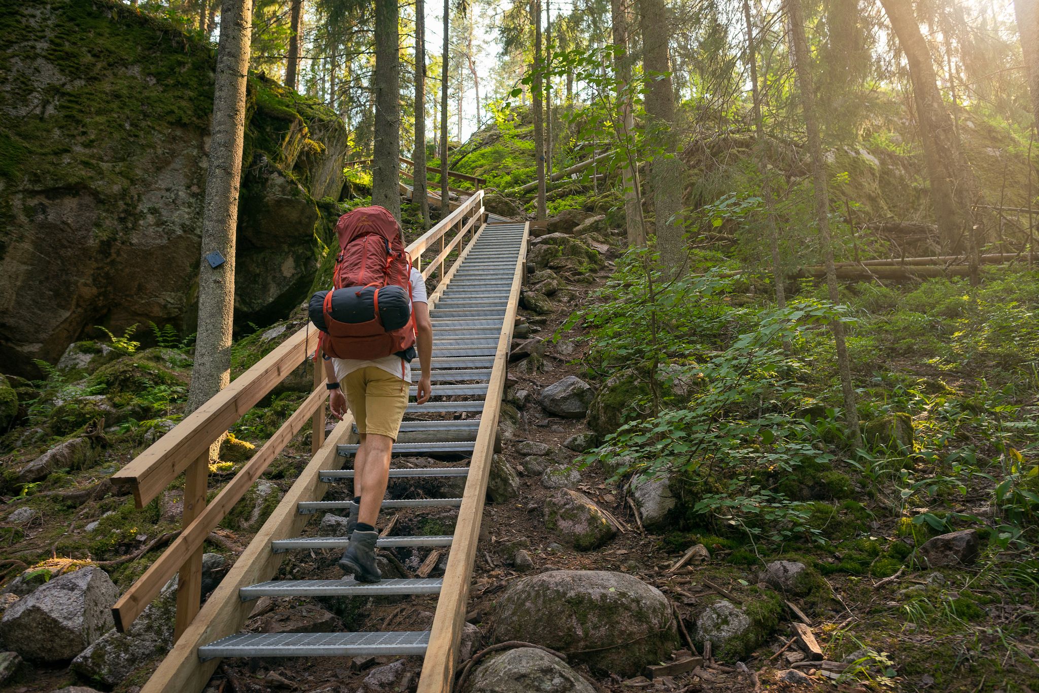
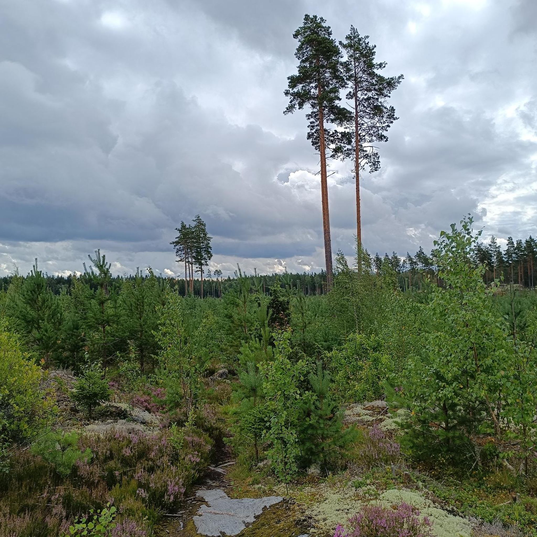
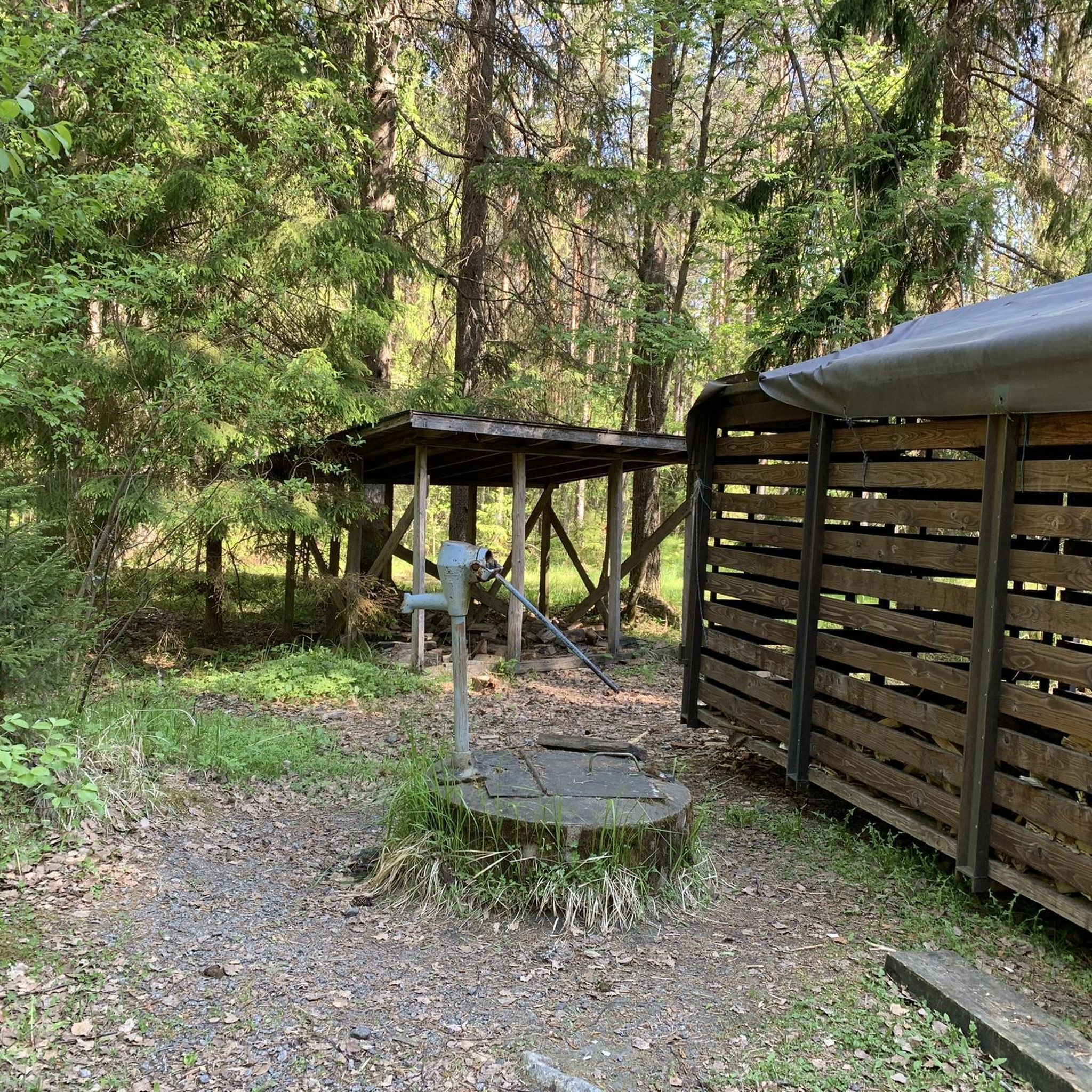
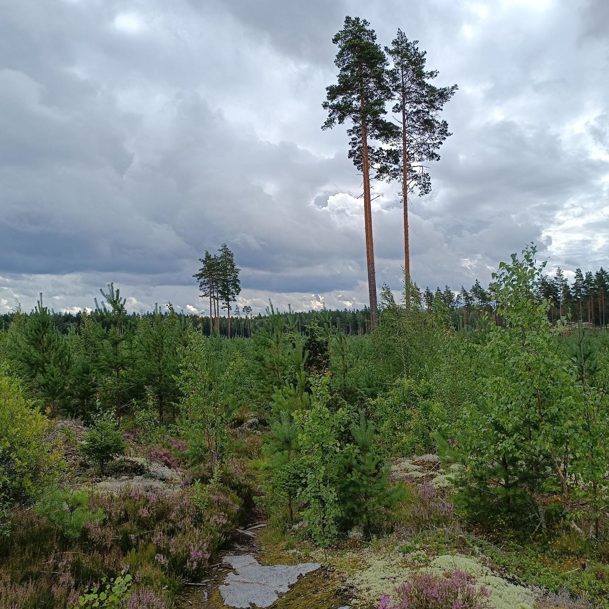
Other adventures in Kurjenrahkan Kansallispuisto

Tips from the Community

Turuntie is a key regional road running through Southwest Finland, historically connecting Turku with inland towns like Loimaa and further to Tampere. For cyclists, especially those with trekking or cross bikes, it's a practical route with varied scenery - fields, forests, and traditional villages. While parts of the road are busier near larger towns, many stretches are quieter and suitable for touring. If you're heading to places like Reppuniemi Open-Air Museum in Pöytyä, Turuntie offers direct access, but it's best to wear high-visibility clothing and stay alert, particularly on sections without a separate cycle lane.
0
0

A small church hidden behind some trees. Has free parking next to it and on the opposite side of the street near the school. Good starting point for bike travels in the area.
0
0

Flowing gravel roads running parallel to the Aura river
2
0
Dry place to sit and watch the rapids, there's even a public grill
2
0
Frequently Asked Questions
How many touring cycling routes are available in Kurjenrahkan Kansallispuisto?
There are approximately 8 touring cycling routes documented in Kurjenrahkan Kansallispuisto on komoot. These routes range from easy to moderate difficulty, offering options for various skill levels.
Are there any easy touring cycling routes suitable for beginners or families?
Yes, Kurjenrahkan Kansallispuisto offers several easy routes. For a shorter, family-friendly option, consider the Ryssänmäki loop from Vahto, which is 10.6 km long and takes about 38 minutes. Another accessible choice is the Bike loop from Vahto, covering 19.9 km.
What is the best time of year to go touring cycling in Kurjenrahkan Kansallispuisto?
The best time for touring cycling in Kurjenrahkan Kansallispuisto is typically from late spring to early autumn (May to September). During these months, the weather is milder, and the trails are generally free of snow and ice, providing optimal conditions to enjoy the park's natural beauty.
Are there any circular touring cycling routes in the park?
Yes, many of the touring cycling routes in Kurjenrahkan Kansallispuisto are designed as loops. For example, the popular Turuntie – Hypöistenkoski Rapids loop from Laukola is a 43.0 km circular route. Another option is the Dirt Path Through the Fields – Paattinen Church loop from Paattistenjoki, which is a moderate 53.4 km loop.
What kind of terrain can I expect on the touring cycling routes?
The terrain in Kurjenrahkan Kansallispuisto is generally flat to gently undulating, characterized by extensive mires, dense forests, and tranquil lakes. You can expect a mix of forest paths, gravel roads, and some open areas, providing a varied and peaceful cycling experience.
Are there any interesting landmarks or natural sights to see along the routes?
Yes, the park offers several points of interest. You might encounter the historic Kuhankuono Boundary Point, a unique landmark. For scenic views, look for the Observation tower. The routes also pass by beautiful natural features like Lake Kurjenrahka.
Are dogs allowed on the touring cycling routes in Kurjenrahkan Kansallispuisto?
As a national park, specific rules apply to dogs. Generally, dogs are welcome but must be kept on a leash at all times to protect wildlife and ensure the safety of other visitors. Always check the latest regulations from the national park authority before your visit.
Where can I find parking for touring cycling routes in Kurjenrahkan Kansallispuisto?
Parking is typically available at the main entrances and trailheads of Kurjenrahkan Kansallispuisto. For routes starting near Vahto, you can usually find designated parking areas. It's advisable to check specific route descriptions on komoot for detailed parking information related to your chosen starting point.
What facilities are available for cyclists in Kurjenrahkan Kansallispuisto?
Within the national park, you can find facilities such as the Kurjenpesä national park house and various shelters like Vajosuon Shelter and Töykkälä Lean-To Shelter. There's also the Rantapiha Public Sauna at Lake Savojärvi for relaxation.
What do other touring cyclists enjoy most about cycling in Kurjenrahkan Kansallispuisto?
The area is highly rated by the komoot community, with an average score of 4.6 stars. Reviewers often praise the peaceful atmosphere, the varied scenery of mires and forests, and the well-maintained trails that offer a relaxing escape into nature. The accessibility of the routes for different skill levels is also frequently highlighted.
Are there any longer touring cycling routes for more experienced cyclists?
For those seeking a longer ride, the Dirt Path Through the Fields – Paattinen Church loop from Paattistenjoki is a moderate 53.4 km route. Another substantial option is the Turuntie – Hypöistenkoski Rapids loop from Laukola, covering 43.0 km, both offering a good challenge and extended time in nature.
Most popular routes in Kurjenrahkan Kansallispuisto
Most popular attractions in Kurjenrahkan Kansallispuisto

Get inspired with the komoot mobile app


Explore more
Browse the best Cycling routes in other regions.
