The best MTB trails in Trotternish
4.6
(7)
56
riders
5
rides
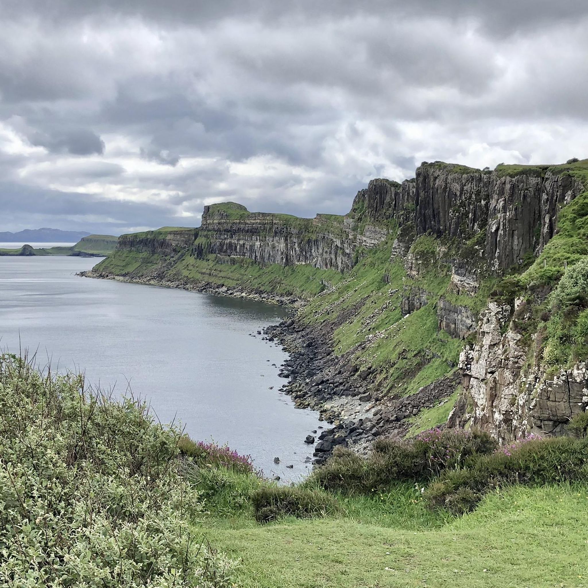
Mountain bike trails in Trotternish traverse a dramatic and unique landscape on the Isle of Skye, characterized by distinctive geological features. The region features high ridges, cliffs, and coastlines, providing varied terrain for mountain biking. Ancient volcanic activity and massive landslips have shaped the area, creating challenging climbs, descents, and natural obstacles. This diverse environment offers a range of routes for exploration on two wheels.
Best mountain bike trails in Trotternish
- The most popular mountain bike trail is View of…
Last updated: September 28, 2026
4.5
(2)
22
riders
51.2km
03:21
730m
730m
Hard mountain bike ride. Good fitness required. Advanced riding skills necessary. Some portions of the route may require you to push your bike.
5.0
(1)
7
riders
21.0km
01:51
510m
510m
Hard mountain bike ride. Good fitness required. Advanced riding skills necessary. Some portions of the route may require you to push your bike.

1
riders
30.5km
02:21
570m
570m
Hard mountain bike ride. Good fitness required. Advanced riding skills necessary. Some portions of the route may require you to push your bike.
4.0
(3)
20
riders
37.0km
02:24
570m
570m
Hard mountain bike ride. Good fitness required. Advanced riding skills necessary. Some portions of the route may require you to push your bike.
5.0
(1)
5
riders
73.9km
04:52
970m
970m
Hard mountain bike ride. Very good fitness required. Advanced riding skills necessary. Some portions of the route may require you to push your bike.
Our route recommendations are based on thousands of hikes, rides, and runs completed by other people on komoot.
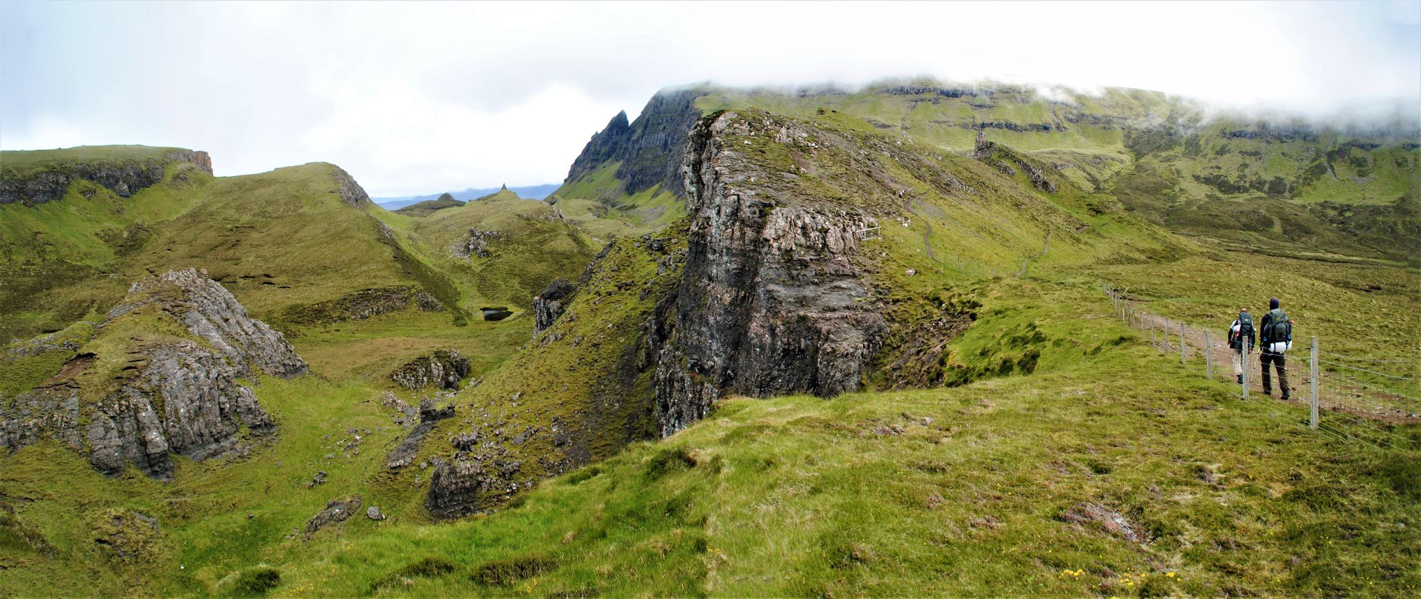
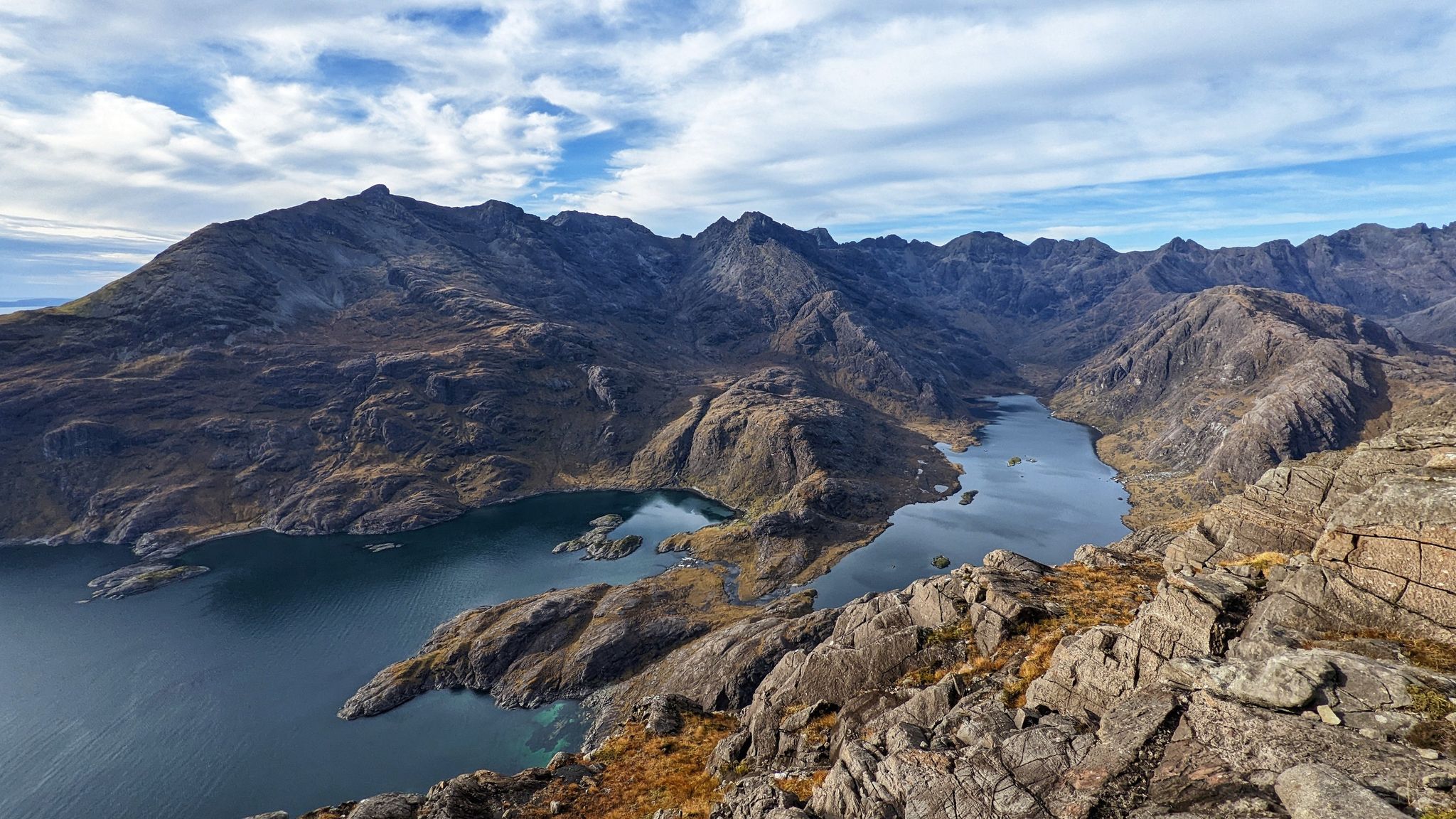
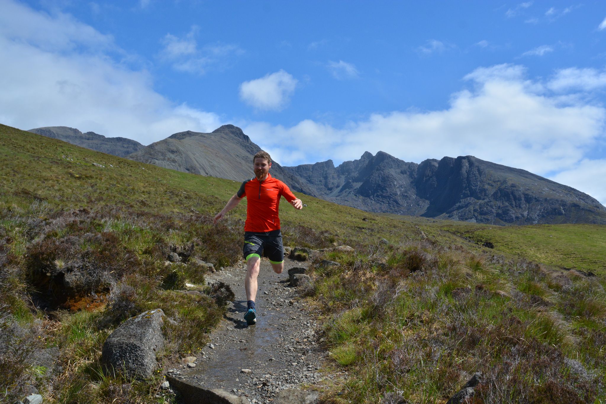
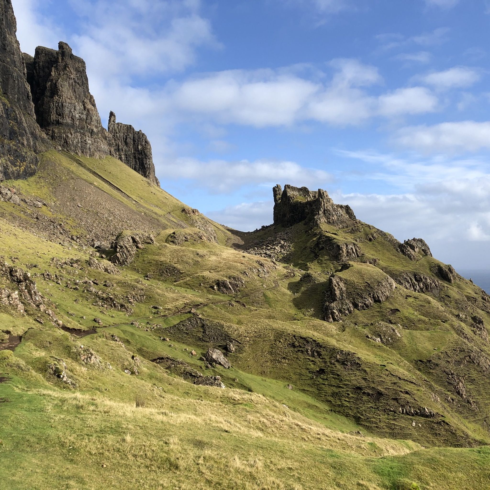
Other adventures in Trotternish


Tips from the Community

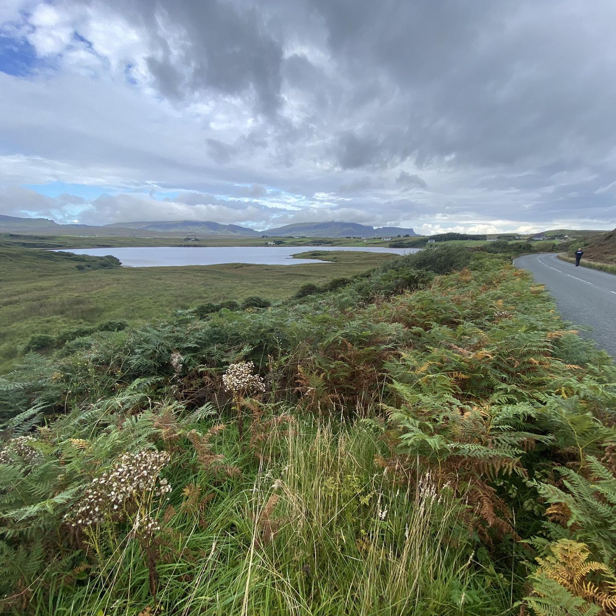
From here, the gaze escapes from the Quiraing towards Loch Cleat, the bay of Staffin and the sea. The curious thing about this small lake is its position: it is wedged between the slopes of Trotternish, a short distance from the coast but separated from the sea. On clear days, from this point you can even distinguish Staffin Island and, much further away, the mountains of the Scottish continental coast. A good place to stop and look out of the Quiraing: the spectacle is not just behind you.
0
0
One of the most spectacular waterfalls on the Isle of Skye. The River Lealt plunges into a deep gorge carved between ancient layers of volcanic basalt, before continuing to the sea. But don't just stay at the first viewpoint: follow the path to see the canyon from different perspectives. After several days of rain is when it really impresses, with much more water and small waterfalls appearing on the walls. With strong wind, you can even see the water pulverize and seem to rise instead of falling.
1
0
For centuries, the Quiraing was not a tourist viewpoint. Its walls, needles and nooks served the inhabitants of Trotternish to hide livestock from raiders. Particularly curious is The Table, an elevated, surprisingly flat and grassy plateau, practically invisible from below. According to tradition, they could hide animals there without those crossing the valley even knowing they were above them. Seeing the rock labyrinth from this point, it is easy to understand why it was a perfect hiding place.
0
0
After several days of rain, the cliffs of Quiraing fill with temporary waterfalls that fall directly from the enormous basalt walls. Some easily exceed 100 meters in height and can appear or practically disappear depending on the weather. With strong wind, something even stranger happens: the water can be pushed upwards or dissolve into a cloud of droplets before reaching the ground. This is why this spot can look completely different from one day to the next.
0
0
This almost unreal landscape was born from one of Britain's biggest landslides. The immense weight of ancient volcanic lava layers caused the lower rocks to give way and created this maze of needles, walls, and plateaus. And the surprising thing is that the ground is still moving: for years the road that crosses the Quiraing has needed repairs due to ground shifts. Some of its formations even have their own names, like The Needle, The Prison, and The Table. It's not simply a pretty viewpoint: you are traversing a gigantic landslide that remains active millions of years after it began to form.
0
0
The River Lealt plunges here down a deep gorge before reaching the sea, forming several stepped waterfalls. What's interesting are the surrounding walls: the water has excavated ancient layers of basalt lava, the result of the enormous volcanic activity that transformed Skye about 60 million years ago. From the viewpoint, you can perfectly appreciate the canyon and, further down, the sea. After heavy rain, it changes completely: the flow increases enormously and that's when Lealt Falls is at its most spectacular.
1
0


The Quiraing Pass on the Isle of Skye is a spectacular, narrow mountain road that connects the villages of Uig and Staffin on the Trotternish Peninsula. It leads through the dramatic landscape of the Quiraing and reaches an altitude of about 260 meters. The road is known as a single-track, winding route with steep sections and tight hairpin bends. In some places, it reaches gradients of up to 14% and requires careful driving. During the drive, exceptional views of rock formations, hills, and the coastline are offered. The Quiraing Pass is therefore considered one of Scotland's most beautiful, but also most challenging, scenic roads.
1
0
Frequently Asked Questions
How challenging are the mountain bike trails in Trotternish?
Mountain biking in Trotternish is generally considered challenging. All 5 routes listed in this guide are rated as difficult, featuring significant elevation changes and technical sections. The terrain is shaped by ancient volcanic activity and massive landslips, creating natural obstacles, steep climbs, and descents that require good fitness and advanced riding techniques. Some sections may even require pushing your bike.
What kind of terrain can I expect on the mountain bike trails in Trotternish?
The terrain in Trotternish is incredibly varied and dramatic. You can expect high ridges, cliffs, and coastlines, with routes often traversing moorland and single-track roads. The geological formations, particularly around the iconic Quiraing, offer technical descents, climbs, and natural obstacles, making for a dynamic and engaging ride.
Are there any family-friendly mountain bike trails in Trotternish?
Given the challenging nature of the terrain and the fact that all routes in this guide are rated as difficult, Trotternish may not be ideal for beginners or young families seeking easy mountain biking trails. The routes require good fitness and advanced riding skills. However, experienced families with proficient riders might enjoy the adventure.
What are the typical lengths and durations of mountain bike routes in Trotternish?
The mountain bike routes in Trotternish vary in length and duration, catering to different endurance levels. For instance, the The Quiraing – The Quiraing loop from Ellishadder is about 21.1 km (13.1 miles) and takes around 2 hours, while the View of the Quiraing – The Quiraing loop from Lealt extends to 50.3 km (31.2 miles) and typically takes over 3 hours. The longest route, Portree to Quairaing Pass loop, is nearly 74 km (46 miles) and can take almost 5 hours to complete.
What notable landmarks or attractions can I see while mountain biking in Trotternish?
Trotternish is rich in spectacular natural landmarks. Many mountain bike routes offer views of or pass by the iconic Quiraing, with its unique rock formations like The Prison. You might also encounter the Quiraing Summit or a ridge cairn on the Trotternish Peninsula. The dramatic landscape itself, shaped by ancient volcanic activity, is a constant attraction.
What do other mountain bikers say about the trails in Trotternish?
The mountain bike trails in Trotternish are highly regarded by the komoot community, with an impressive average rating of 4.6 out of 5 stars from several reviews. Nearly 60 mountain bikers have used komoot to explore this region, often praising the unique geological formations, the challenging nature of the routes, and the breathtaking, otherworldly scenery.
Are there any circular mountain bike routes in Trotternish?
Yes, several popular mountain bike routes in Trotternish are circular, allowing you to start and end in the same location. Examples include the View of the Quiraing – The Quiraing loop from Lealt and The Quiraing – Quiraing Pass loop from Uig. These loops are excellent for experiencing the diverse landscape without needing a return trip arrangement.
What is the best time of year for mountain biking in Trotternish?
While the guide doesn't specify, based on the region's characteristics, the best time for mountain biking in Trotternish is typically during the drier, milder months, usually late spring to early autumn (May to September). This avoids the harsher winter conditions, which can bring strong winds, heavy rain, and potentially snow, making the already challenging trails even more difficult and less enjoyable. Always check local weather forecasts before heading out.
Are there any permits required for mountain biking on the trails in Trotternish?
There is no specific information in the provided data about permits being required for mountain biking on the general trails in Trotternish. However, it's always advisable to respect local land access rules and check for any specific regulations, especially if venturing onto private land or designated conservation areas. For general guidance on cross-country trails, you might find information from visitor safety groups helpful: Guide to Cross Country Trails.
Can I bring my dog on the mountain bike trails in Trotternish?
While the guide does not explicitly state whether dogs are allowed on mountain bike trails, it's common practice in rural areas like Trotternish to allow dogs, provided they are kept under strict control, especially around livestock and wildlife. Given the challenging nature of the trails, ensure your dog is fit enough for the distance and terrain. Always follow the Scottish Outdoor Access Code.
Are there opportunities for e-biking in Trotternish?
Yes, Trotternish's varied terrain, including single-track roads and challenging climbs, can be particularly well-suited for e-bikers. An e-bike can help riders experience many famous and lesser-known features of the peninsula, making the significant elevation gains more manageable and extending the range of exploration across this dramatic landscape.
How many mountain bike trails are covered in this guide for Trotternish?
This guide features 5 distinct mountain bike trails in Trotternish. All of these routes are rated as difficult, offering challenging and rewarding experiences for experienced riders.
Most popular attractions in Trotternish

Get inspired with the komoot mobile app


Explore more
Browse the best MTB trails in other regions.
