The best mountain hikes around Karkonoski Park Narodowy
4.8
(74)
446
hikers
21
hikes
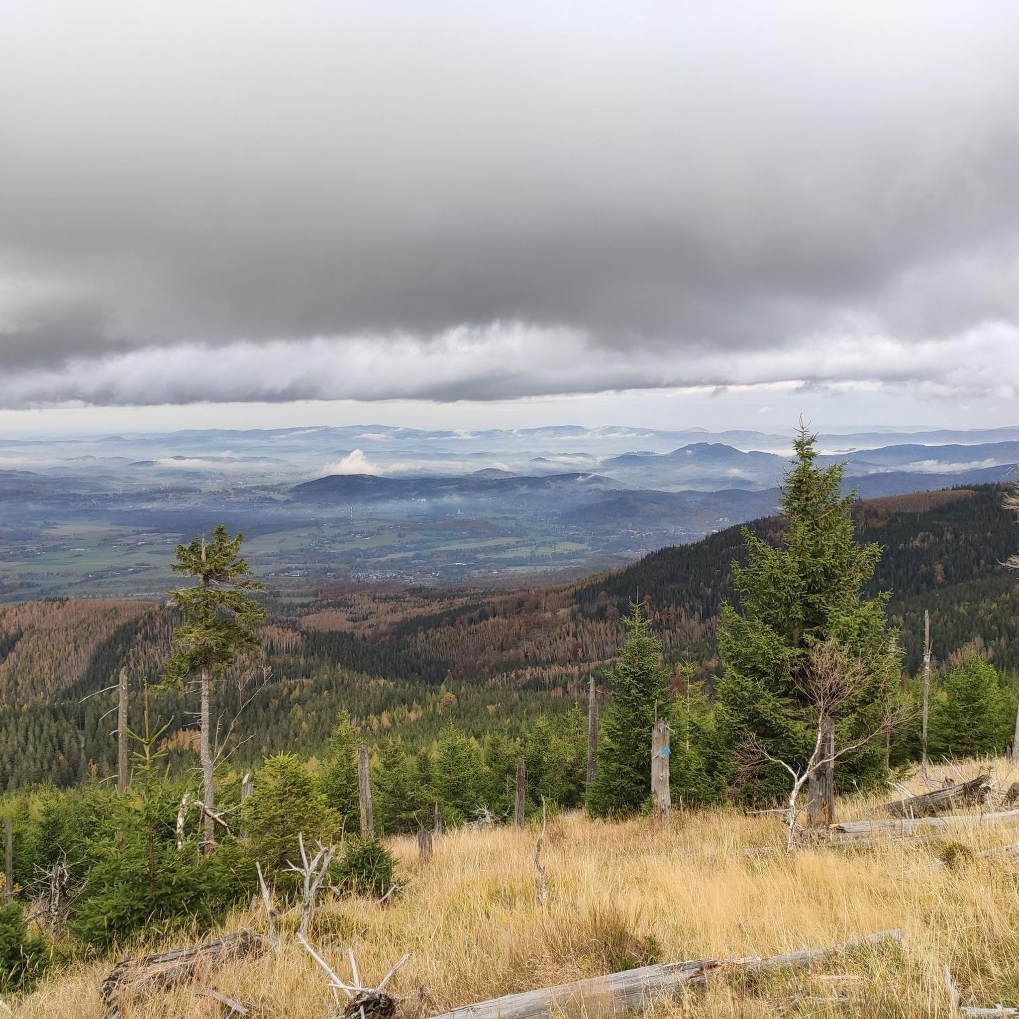
Mountaineering around Karkonoski Park Narodowy features diverse and rugged landscapes, encompassing the highest peaks of the Sudetes mountain range. The terrain is characterized by significant elevations, post-glacial depressions, and unique rock formations. Spruce forests, dwarf pine, and high moorlands define the varied ecosystems found throughout the park.
Best mountaineering routes around Karkonoski Park Narodowy
- The most popular mountaineering route is Viewpoint on Śnieżka – Śnieżka (Schneekoppe) Summit loop from Karpacz, a 9.1 miles (14.6 km) difficult trail that takes…
Last updated: October 7, 2026
5.0
(14)
93
hikers
13.8km
04:51
760m
760m
Moderate mountaineering route. Good fitness required. Mostly accessible paths. Sure-footedness required.
4.8
(13)
72
hikers
4.91km
01:41
250m
250m
Easy mountaineering route. Great for any fitness level. Easily-accessible paths. Suitable for all skill levels.

5.0
(7)
34
hikers
14.2km
05:11
870m
870m
Hard mountaineering route. Very good fitness required. Easily-accessible paths. Suitable for all skill levels.
4.4
(11)
36
hikers
15.6km
05:29
740m
740m
Hard mountaineering route. Very good fitness required. Mostly accessible paths. Sure-footedness required.
5.0
(4)
26
hikers
8.76km
02:35
260m
260m
Moderate mountaineering route. Good fitness required. Easily-accessible paths. Suitable for all skill levels.
Get access to more routes and recommendations from other explorers.
Already have an account?
Our route recommendations are based on thousands of hikes, rides, and runs completed by other people on komoot.
Start today with a free account
Your next adventure awaits.
Popular around Karkonoski Park Narodowy
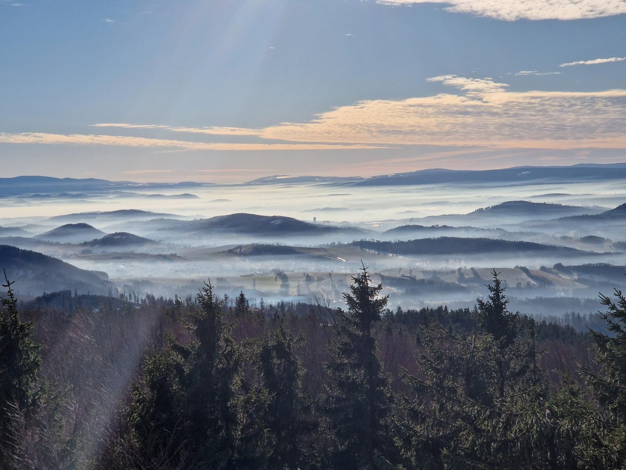
The Main Sudeten Route – a great Polish mountain adventure
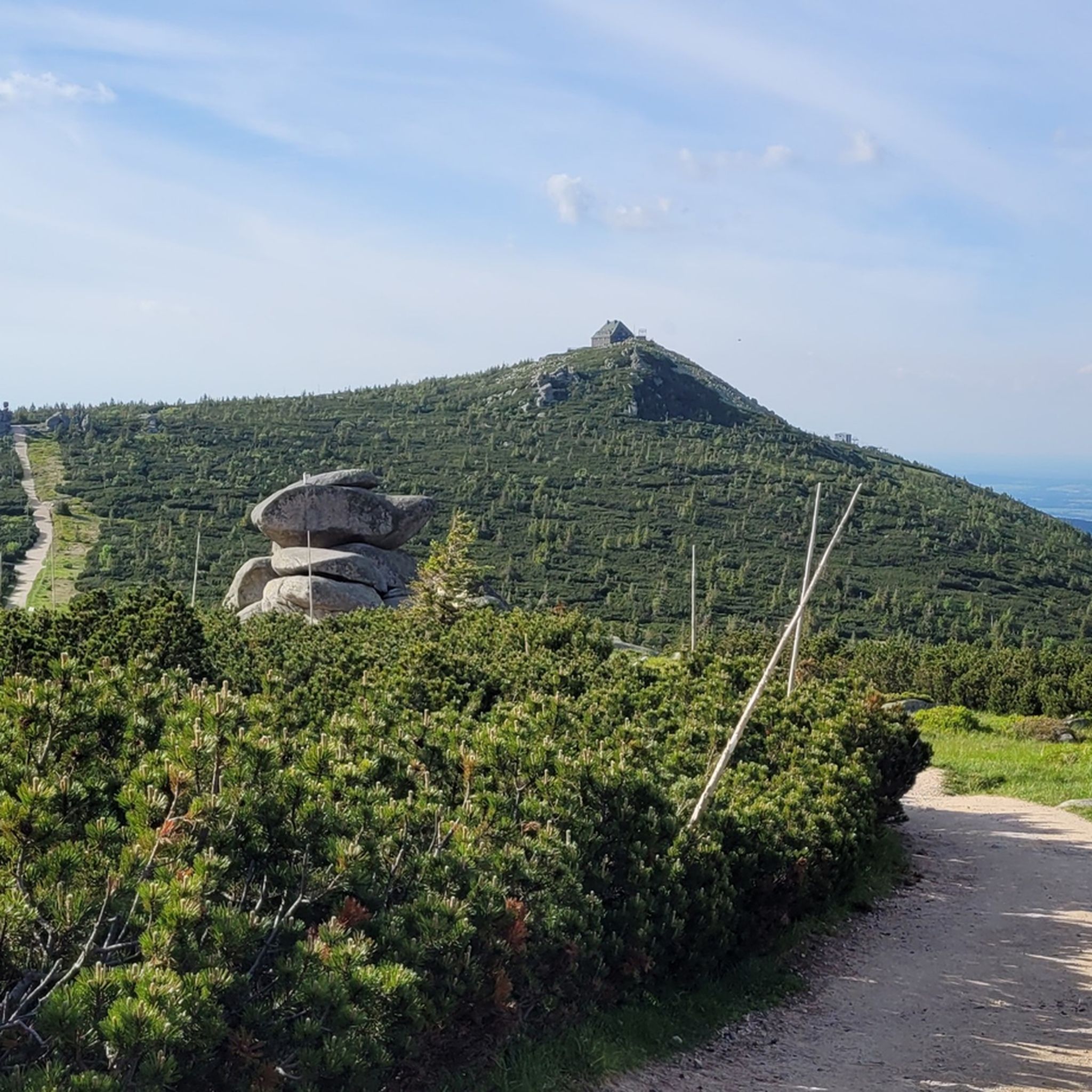
Hiking around Karkonoski Park Narodowy
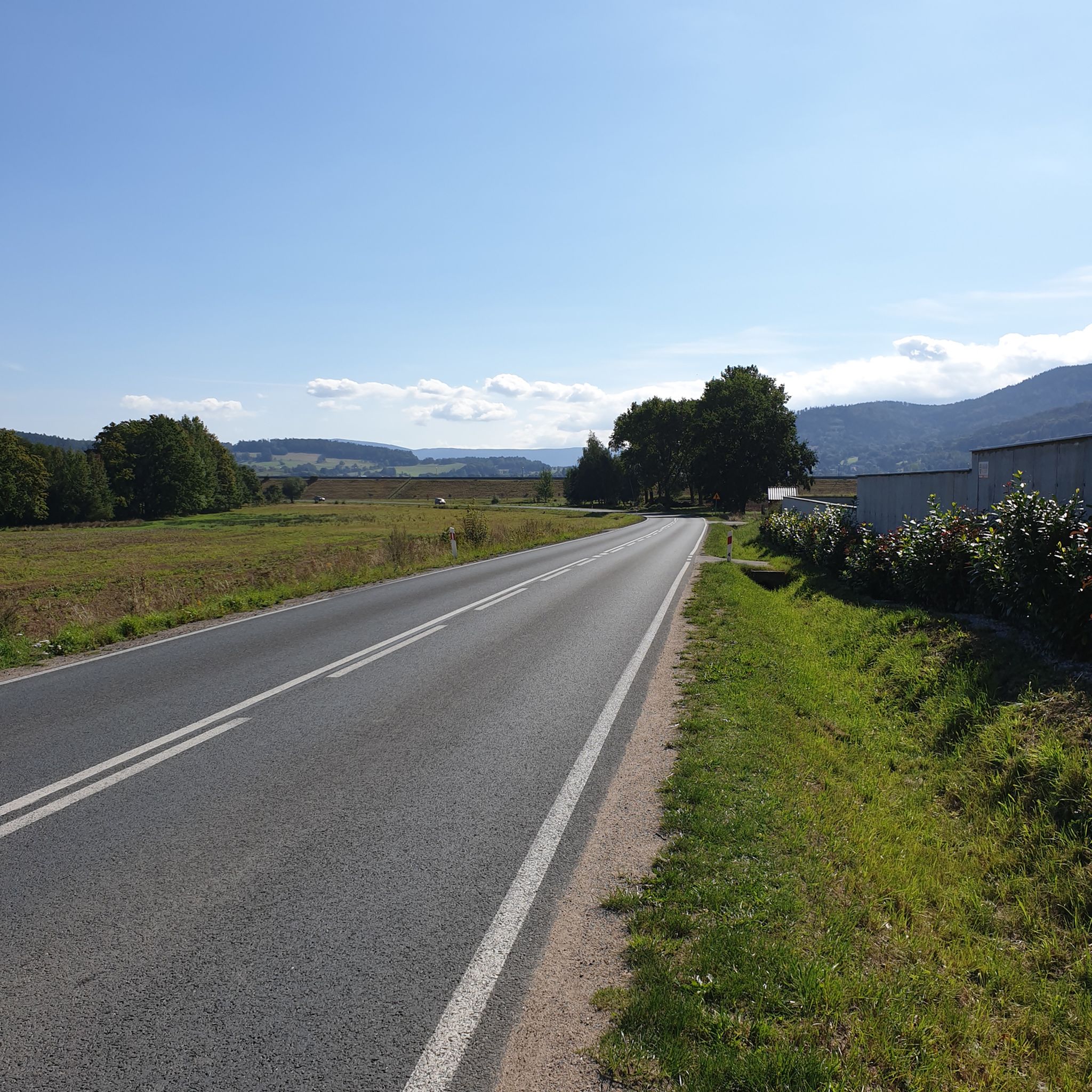
Road Cycling Routes around Karkonoski Park Narodowy
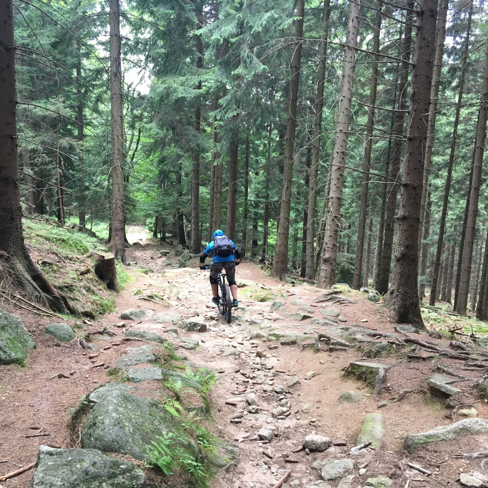
MTB Trails around Karkonoski Park Narodowy
Running Trails around Karkonoski Park Narodowy
Cycling around Karkonoski Park Narodowy

Gravel biking around Karkonoski Park Narodowy
Other adventures around Karkonoski Park Narodowy

Tips from the Community

Great restaurant with a view of the Schneekoppe. You might want to use the toilet here again, as the WC at the cable car on the Schneekoppe is not open all year round.
7
0


A beautifully situated mountain hut under Śnieżka, on the Polish-Czech border. The hut is located at an altitude of 1,400 meters above sea level. There are plenty of places to stay, but as you can imagine, this place is very popular, so book in advance. Meals and drinks are, of course, available, so everything is as it should be. https://domslaski.pl/
1
0

The rock formations are located on the border between the Czech Republic and Poland. They are called "Svinské kameny" in Czech, "Trzy Świnki" in Polish, and "Sausteine" in German.
1
0
The PTTK Odrodzenie shelter is one of the most beautifully situated shelters in the entire Karkonosze. It is located at an altitude of 1236 m above sea level above the Karkonosze Pass. From the shelter there is an extraordinary panorama of the Jelenia Góra Valley and other peaks.
0
0
From here the views of Śnieżka are simply divine. The gods of Olympus have descended to earth! The Rock Table (1281m) is the highest point on the Kowarski Grzbiet. Its name refers to the rocks here, which look like benches. Śnieżka is visible behind Czarny Grzbiet, and from here we can also see Kocioł Łomniczka, Kotlina Jeleniogórska and Rudawy Janowickie.
2
0
Extraordinary mountain views from Szrenica (1362m) to the Karkonosze National Park. Worth taking a breath!
3
1

This is where Rübezahl's treasure chests are supposed to be...
0
0
Frequently Asked Questions
How many mountaineering routes are available in Karkonoski Park Narodowy?
Karkonoski Park Narodowy offers a wide selection of mountaineering routes. There are over 20 routes available, catering to various skill levels from easy to difficult.
What kind of terrain can I expect on mountaineering routes in Karkonoski Park Narodowy?
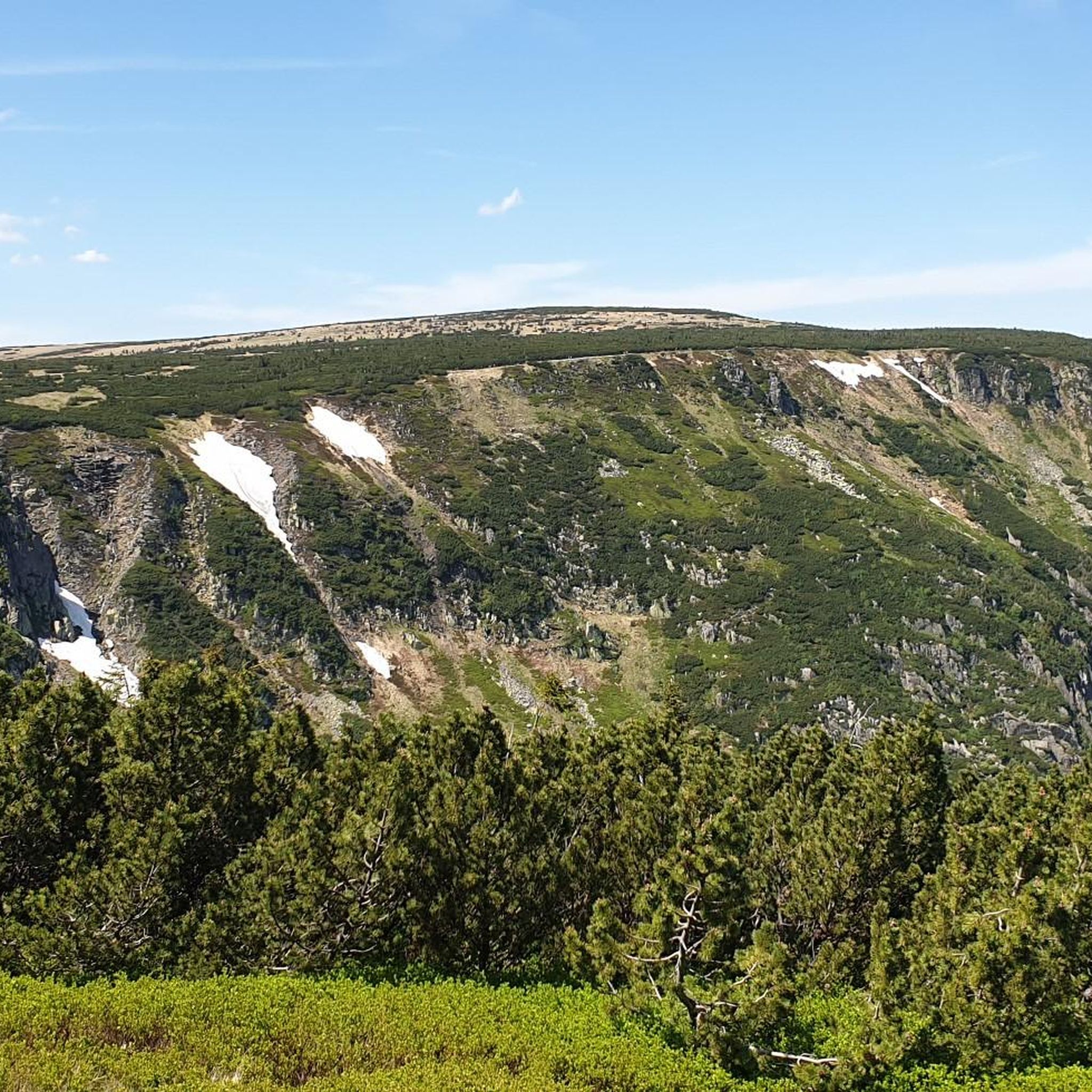
The terrain in Karkonoski Park Narodowy is diverse, characterized by its post-glacial origins. You'll encounter significant elevation gains, rugged paths, steep rocky slopes, and impressive glacial cirques. Many routes require good fitness and sturdy footwear.
What is the best time of year for mountaineering in Karkonoski Park Narodowy?
The best time for mountaineering is generally from late spring to early autumn (May to October), when trails are clear of snow and weather conditions are more stable. Winter mountaineering is possible but requires specialized equipment and experience due to snow and ice.
Are there any easy mountaineering routes suitable for beginners in Karkonoski Park Narodowy?
Yes, there are routes suitable for beginners. For example, the Chojnik Castle loop from Jelenia Góra is an easy 4.8 km trail that offers a less demanding experience while still providing scenic views.
What natural landmarks or viewpoints can I see along the mountaineering routes?
The park is rich in natural landmarks. You can encounter unique granite rock formations like Pielgrzymy (Pilgrims) and Słonecznik (Sunflower). The Sunflower Rock Formation – Słonecznik loop from Karpacz is a great way to see these. You'll also find impressive glacial cirques, such as the Śnieżne Kotły (Snowy Cirques), which you can explore on the Śnieżne Kotły (Snowy Cirques) – Snowy Cauldrons loop from Szrenica.
Are there any waterfalls accessible from the mountaineering trails?
Yes, Karkonoski Park Narodowy is home to beautiful waterfalls. Wodospad Szklarki and Wodospad Kamieńczyka are two notable examples, with Kamieńczyka being the highest waterfall in the Polish Sudetes. Many trails pass near or offer access to these natural attractions.
Can I find mountain huts or places to rest along the routes?
Yes, the park features several mountain huts where you can rest, find refreshments, or even stay overnight. Notable examples include the picturesque Samotnia Mountain Hut by Mały Staw (Little Pond), PTTK Odrodzenie, and the Mountain hut on Hala Szrenicka.
Are there any circular mountaineering routes in Karkonoski Park Narodowy?
Yes, many of the mountaineering routes in Karkonoski Park Narodowy are circular, allowing you to start and end in the same location. Popular circular options include the Viewpoint on Śnieżka – Śnieżka (Schneekoppe) Summit loop from Karpacz and the Śnieżne Kotły (Snowy Cirques) – Snowy Cauldrons loop from Szrenica.
What do other mountaineers enjoy most about Karkonoski Park Narodowy?
The area is highly rated by the komoot community, with an average score of 4.8 stars. Mountaineers frequently praise the breathtaking panoramic views from peaks like Śnieżka, the unique rock formations, and the impressive glacial cirques. The well-maintained trails and the presence of mountain huts also contribute to a positive experience.
Are there any specific permits or fees required for mountaineering in Karkonoski Park Narodowy?
As Karkonoski Park Narodowy is a national park, there is typically an entrance fee required to access the trails. These fees contribute to the maintenance and protection of the park's natural environment. Check the official park website for current fee structures and any specific regulations.
What are some of the most challenging mountaineering routes in the park?
For those seeking a challenge, routes ascending to Śnieżka (Schneekoppe), the highest peak, are particularly demanding. The Viewpoint on Śnieżka – Śnieżka (Schneekoppe) Summit loop from Karpacz, with its significant elevation gain, is a difficult trail that takes over 5 hours to complete.
Most popular routes around Karkonoski Park Narodowy
Most popular attractions around Karkonoski Park Narodowy

Get inspired with the komoot mobile app


Explore more
Browse the best Mountain Hikes & Routes in other regions.
