The best road cycling routes around Nötsch im Gailtal
4.6
(382)
14,429
riders
39
rides
Road cycling around Nötsch im Gailtal offers diverse terrain within the Gailtal valley, characterized by its position between the Carnic Alps and the Gailtal Alps. The region features a mix of valley roads, challenging mountain passes like Predil Pass, and routes that skirt scenic lakes. Road cyclists can expect varied elevation profiles, from gentler valley sections to demanding ascents, providing a comprehensive experience of the Austrian-Italian border region.
Best road cycling routes around Nötsch im Gailtal
- The most popular road…
Last updated: July 23, 2026
4.7
(7)
658
riders
138km
07:54
3,030m
3,030m
Hard road ride. Very good fitness required. Some segments of this route may be unpaved and difficult to ride.
4.4
(13)
308
riders
69.8km
03:24
1,010m
1,010m
Hard road ride. Very good fitness required. Mostly well-paved surfaces and easy to ride.

Sign up for free
4.0
(4)
160
riders
57.0km
02:34
510m
510m
Moderate road ride. Good fitness required. Mostly well-paved surfaces and easy to ride.
5.0
(1)
72
riders
Moderate road ride. Good fitness required. Some segments of this route may be unpaved and difficult to ride.
4.3
(9)
119
riders
58.1km
02:38
640m
640m
Moderate road ride. Good fitness required. Mostly well-paved surfaces and easy to ride.
Get access to more routes and recommendations from other explorers.
Sign up for free
Already have an account?
Our route recommendations are based on thousands of hikes, rides, and runs completed by other people on komoot.
Start today with a free account
Your next adventure awaits.
Login or Signup
Popular around Nötsch im Gailtal
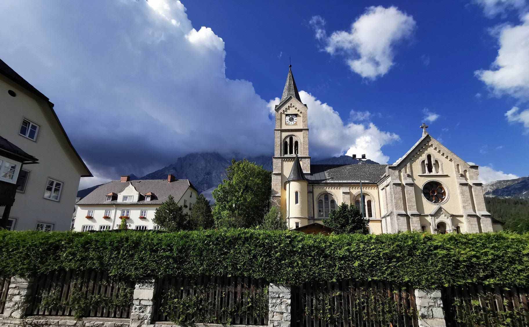
Way of the Book – Hike in the footsteps of the Bible smugglers in Austria

From the Grossglockner to the sea on the Alpe Adria Trail
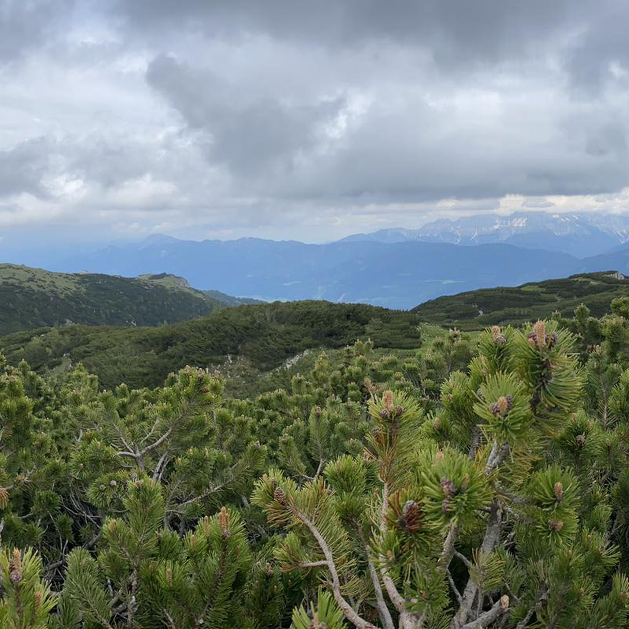
Cycling around Nötsch im Gailtal
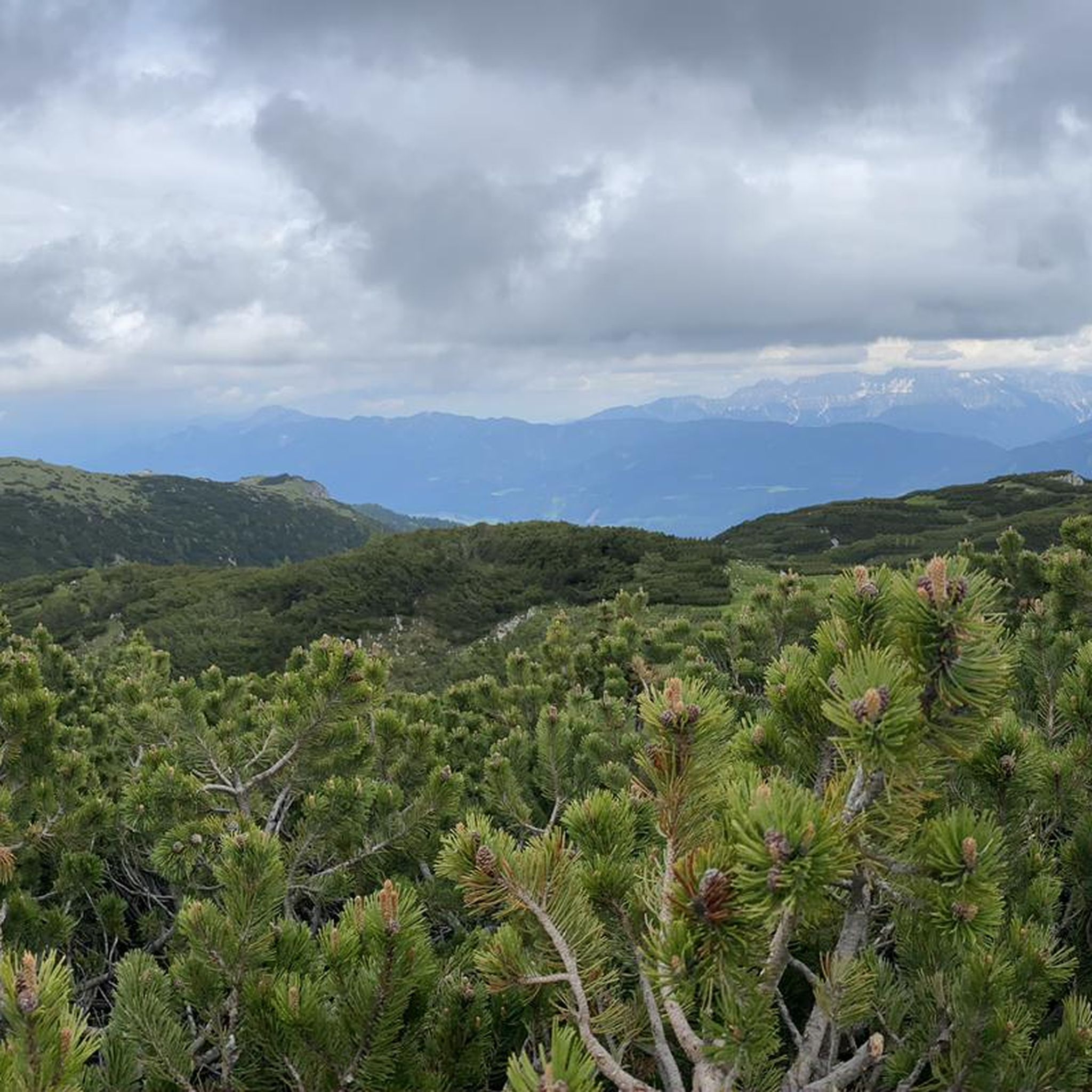
MTB Trails around Nötsch im Gailtal
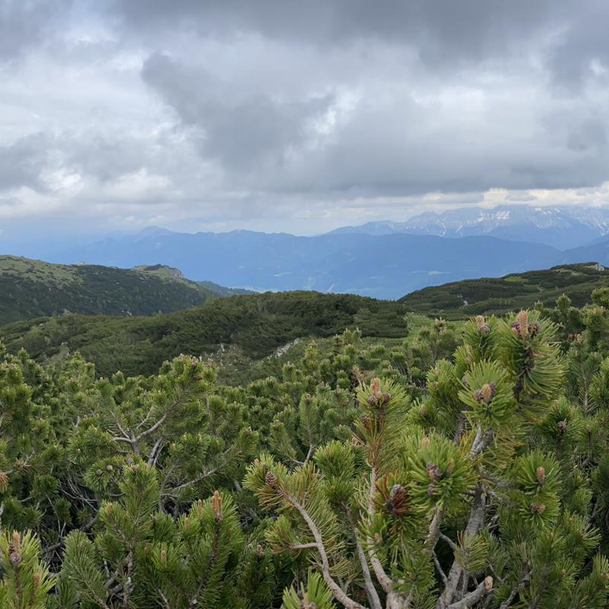
Hiking around Nötsch im Gailtal
Mountain Hikes around Nötsch im Gailtal

Gravel biking around Nötsch im Gailtal
Running Trails around Nötsch im Gailtal


Tips from the Community

…after the bridge you can stop at the alpine farm! 🍺
1
0

Very beautiful lake, unfortunately too much traffic at the pass today.
4
0
…very well-developed cycle path with many nice places to stop for a break and great views ☕️😋⛰️👀🚴♂️
2
0
…very well-developed cycle path with many nice places to stop for a break and great views ☕️😋⛰️👀🚴♂️
2
0
…very well-developed cycle path with many nice places to stop for a break 🚴♂️☕️😋
3
0
…very well-developed cycle path with many nice places to stop for a break 🚴♂️☕️😋
3
0
…very well-developed cycle path with many nice places to stop for a break 🚴♂️☕️😋
3
0

Frequently Asked Questions
How many road cycling routes are available around Nötsch im Gailtal?
There are over 10 road cycling routes around Nötsch im Gailtal, offering diverse terrain from valley roads to challenging mountain passes. The komoot community has rated these routes highly, with an average score of 4.7 stars.
Are there road cycling routes suitable for beginners or families in Nötsch im Gailtal?
Yes, Nötsch im Gailtal offers routes suitable for various skill levels. While many routes feature moderate climbs, there are options that provide a balanced ride through the valley. For a moderate experience, consider the Vorderberger Straße – Nötsch - Labientschach loop from Nötsch, which offers scenic views with manageable elevation.
What are some challenging road cycling routes for experienced riders in the region?
Experienced riders seeking a challenge will find several difficult routes with significant elevation gain. The Lake Predil – Predil Pass loop from Nötsch is a demanding 86-mile route that crosses a notable mountain pass, providing a comprehensive alpine experience. Another challenging option is the Lake Predil – Old Cycle Bridge loop from Nötsch, which also leads through mountainous terrain.
Are there any loop road cycling routes around Nötsch im Gailtal?
Yes, many of the road cycling routes around Nötsch im Gailtal are designed as loops, allowing you to start and finish in the same location. Examples include the Lake Predil – Predil Pass loop from Nötsch and the Pontebbana Cycle Path – Tarvisio - Unterthörl loop from Nötsch.
What kind of terrain can I expect on road cycling routes in Nötsch im Gailtal?
The terrain around Nötsch im Gailtal is diverse, ranging from flat valley roads along the Gailtal to challenging ascents over mountain passes like Predil Pass. You can expect a mix of gentle sections and demanding climbs, often with scenic views of the Carnic Alps and Gailtal Alps, and routes that skirt picturesque lakes like Lake Predil.
What can I see along the road cycling routes in Nötsch im Gailtal?
Road cycling routes in Nötsch im Gailtal offer stunning natural beauty and cultural landmarks. You'll encounter scenic lake views, such as those around Lake Predil. For those interested in mountain peaks, the region is close to the Dobratsch Summit and the historic Three Countries Corner, where Austria, Italy, and Slovenia meet.
Are there any viewpoints or scenic spots along the road cycling routes?
Yes, the region is rich in scenic viewpoints. Routes often pass through areas with panoramic vistas of the Gailtal valley and the surrounding Carnic and Gailtal Alps. The challenging routes, especially those crossing mountain passes like Predil Pass, offer spectacular high-altitude views. Lake Predil itself is a beautiful spot for a break.
What do other road cyclists enjoy most about road cycling in Nötsch im Gailtal?
The komoot community highly rates road cycling in Nötsch im Gailtal, with an average score of 4.7 stars from over 290 reviews. Cyclists often praise the diverse terrain, from the peaceful valley roads to the exhilarating mountain passes, and the stunning natural beauty of the Austrian-Italian border region, including the scenic lake views.
Is there parking available near the road cycling routes in Nötsch im Gailtal?
Nötsch im Gailtal serves as a convenient starting point for many routes, and parking options are generally available within the village or at designated trailheads. It's advisable to check specific starting points for detailed parking information, but you'll typically find suitable places to leave your vehicle before your ride.
Can I find cafes or places to rest along the road cycling routes?
Yes, many routes in the Nötsch im Gailtal area pass through or near small villages and towns where you can find cafes, restaurants, and guesthouses. Especially on longer routes, planning your stops in advance can ensure you have access to refreshments and rest points. The route Rest, water, and tools – Away from the main road loop from Emmersdorf im Gailtal, for instance, is designed with such considerations in mind.
What is the best time of year for road cycling in Nötsch im Gailtal?
The best time for road cycling in Nötsch im Gailtal is typically from late spring to early autumn (May to October). During these months, the weather is generally mild, and mountain passes are clear of snow, offering optimal conditions for exploring both valley roads and higher elevations. Summer provides the warmest temperatures, ideal for longer rides and enjoying the region's lakes.
Are there any routes that incorporate the Gailtal Bundesstraße?
Many routes in the Nötsch im Gailtal area utilize sections of the Gailtal Bundesstraße (B111) to connect different parts of the valley. While it's a main road, it provides access to various scenic detours and smaller, quieter roads that branch off into the surrounding landscape, offering a mix of direct travel and more secluded cycling experiences.
Most popular routes around Nötsch im Gailtal
Most popular attractions around Nötsch im Gailtal

Get inspired with the komoot mobile app


Explore more
Browse the best Road cycling routes in other regions.
