The best walks and hikes around Neuenstadt am Kocher
4.5
(9315)
39,552
hikers
157
hikes
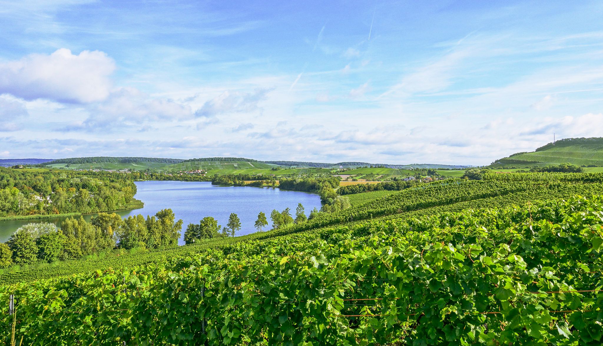
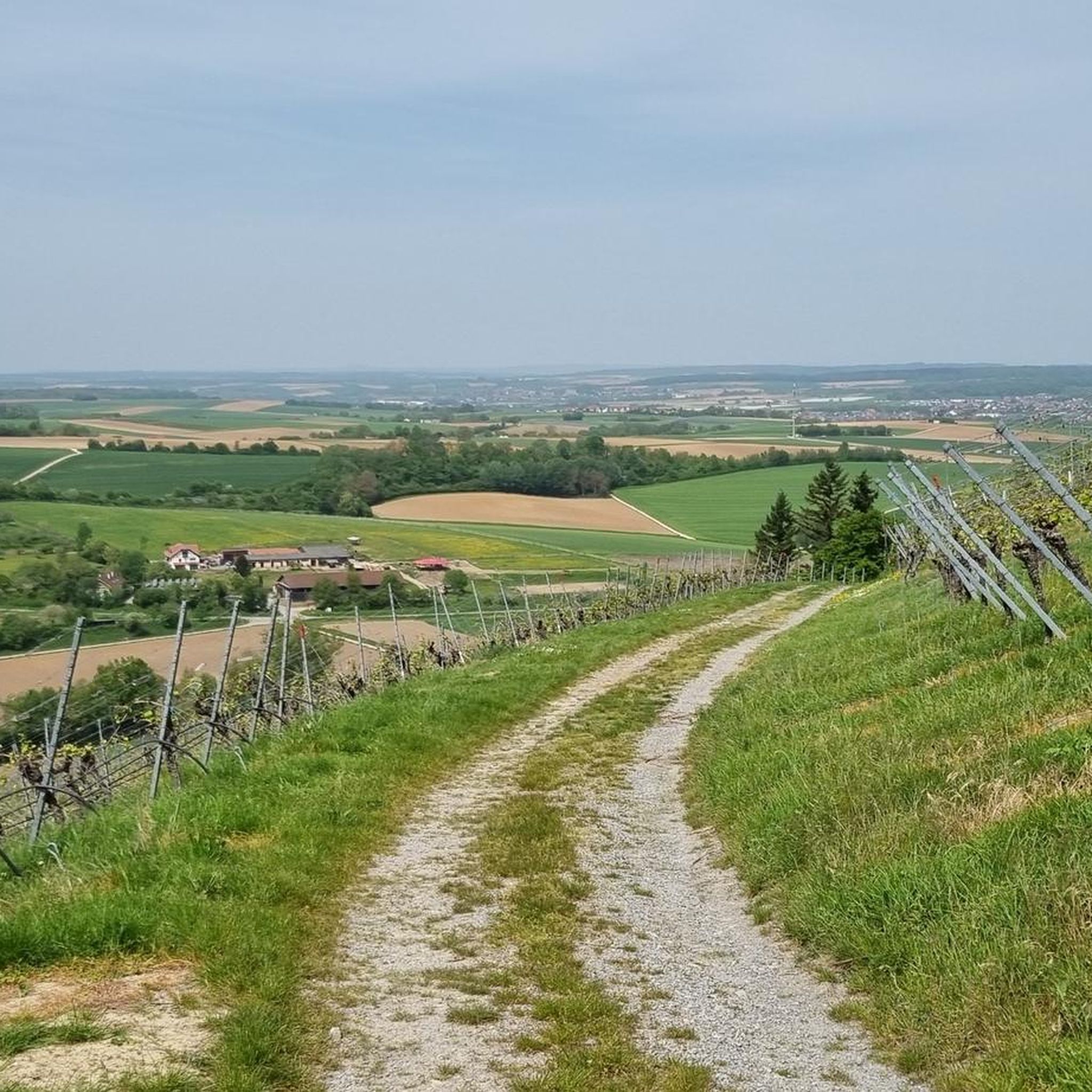
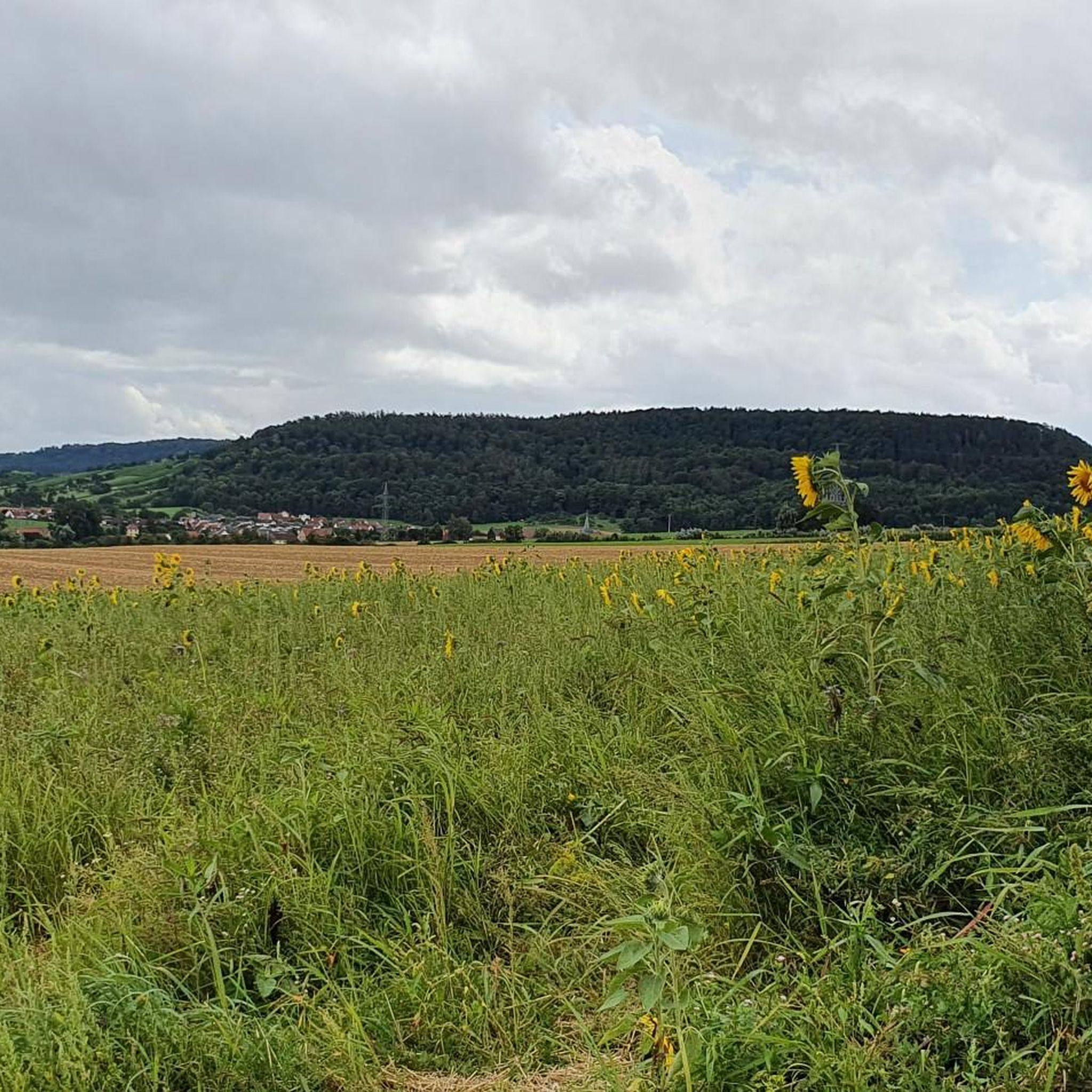
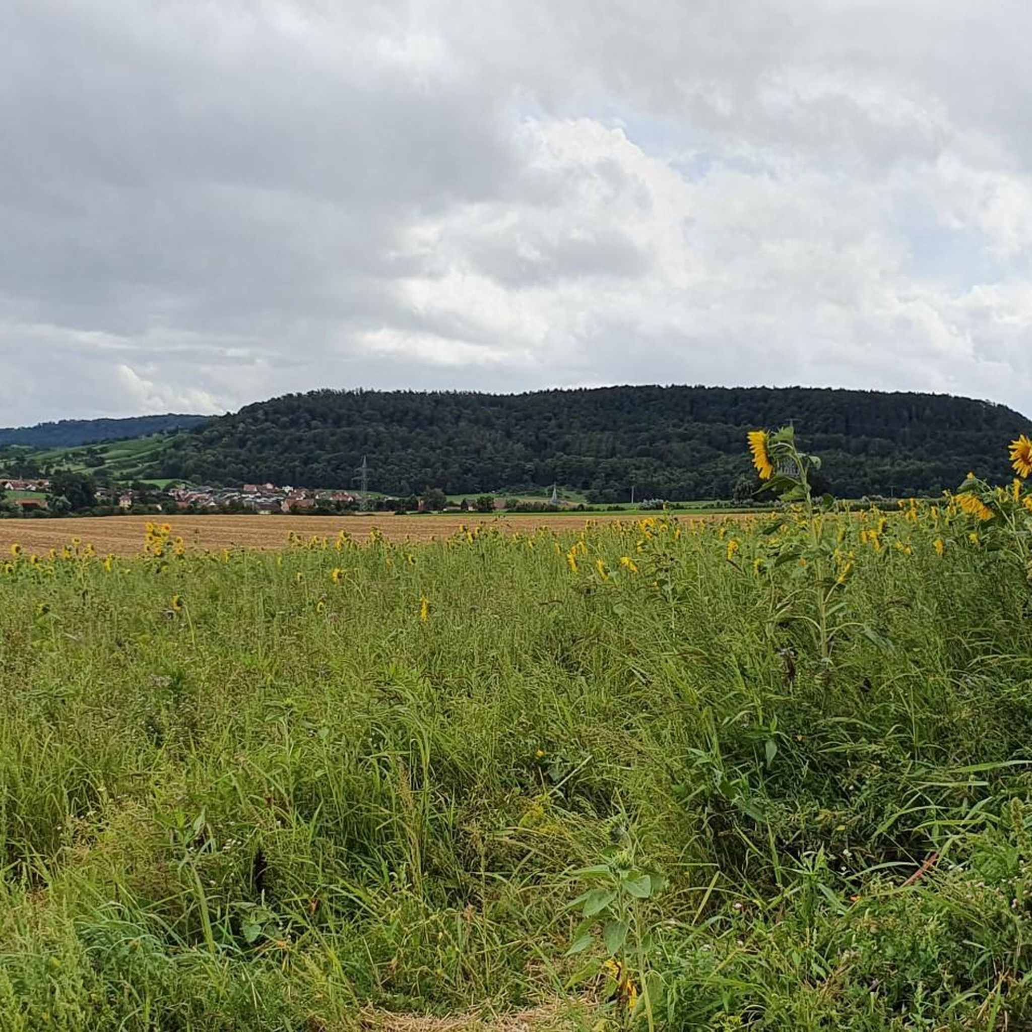
Hiking trails around Neuenstadt am Kocher feature varied terrain shaped by the Kocher river and its tributaries. The region is characterized by extensive forests, open fields, and the presence of several small lakes, offering diverse natural environments for exploration. Gentle rolling hills define much of the landscape, providing accessible paths for walkers.
Best hiking trails around Neuenstadt am Kocher
- The most popular hiking route is Parking lot at Waldsee – Brettach Forest Lake loop from Cleversulzbach, a 5.2 miles…
Last updated: July 23, 2026
4.6
(48)
139
hikers
8.36km
02:23
180m
180m
Moderate hike. Good fitness required. Easily-accessible paths. Suitable for all skill levels.
4.4
(17)
71
hikers
13.5km
03:45
250m
250m
Moderate hike. Good fitness required. Easily-accessible paths. Suitable for all skill levels.

Sign up for free
4.1
(9)
32
hikers
Easy hike. Great for any fitness level. Easily-accessible paths. Suitable for all skill levels.
4.9
(9)
41
hikers
Moderate hike. Good fitness required. Easily-accessible paths. Suitable for all skill levels.
5.0
(8)
51
hikers
Easy hike. Great for any fitness level. Easily-accessible paths. Suitable for all skill levels.
Get access to more routes and recommendations from other explorers.
Sign up for free
Already have an account?
Our route recommendations are based on thousands of hikes, rides, and runs completed by other people on komoot.
Start today with a free account
Your next adventure awaits.
Login or Signup

Other adventures around Neuenstadt am Kocher

Tips from the Community


Beautiful tour with views, forest, vineyards, sights and the possibility to extend the tour with additions.
0
0

View of Brettach estuary Bach
0
0

In the cemetery of Stein am Kocher, there is an old cemetery chapel, also known as a Marian chapel, as well as a statue of Mary with the Christ Child. The chapel dates back to a building from 1382 and was once located outside the city walls. Between 1748 and 1750, the dilapidated chapel was rebuilt in its present form and integrated into the town's fortifications. Towards the end of World War II, on April 9, 1945, the chapel was largely destroyed by flying sparks. From 1999 to 2002, the chapel underwent extensive restoration and renovation. It was rededicated on September 28, 2002.
0
0

Remnants of the medieval city wall with a passageway, which have been integrated into the new development.
5
0
The former guardhouse at the Brettach bridge now houses the tourist information office. The oldest bowling alley in Neuenstadt was located in the annex to the guardhouse and was still in operation until 2003.
5
0
Frequently Asked Questions
How many hiking trails are available around Neuenstadt am Kocher?
There are over 150 hiking trails around Neuenstadt am Kocher, offering a wide variety of options for different skill levels and preferences. You'll find everything from easy strolls to more challenging routes.
Are there easy hiking trails suitable for beginners or families in Neuenstadt am Kocher?
Yes, Neuenstadt am Kocher offers many easy hiking trails. With 95 routes classified as easy, you can find gentle paths perfect for a relaxed walk or a family outing. An example is the Lake View Near Haifischbar – War Memorial Stein am Kocher loop from Stein am Kocher, which is 5.3 km long and takes about 1 hour 27 minutes.
What kind of terrain can I expect on hikes around Neuenstadt am Kocher?
The terrain around Neuenstadt am Kocher is varied, shaped by the Kocher river and its tributaries. You'll encounter extensive forests, open fields, and several small lakes. The landscape is generally characterized by gentle rolling hills, making many paths accessible and pleasant for walking.
Are there any circular walks in the Neuenstadt am Kocher area?
Yes, many of the trails around Neuenstadt am Kocher are circular, allowing you to start and end at the same point. For instance, the War Memorial Stein am Kocher – Presteneck Moated Castle loop from Stein am Kocher is a moderate 14.6 km circular route.
What are some scenic viewpoints or landmarks to look out for on hikes?
The region offers several scenic viewpoints and historical landmarks. You can find beautiful vistas like the View of Neckarsulm and Heilbronn from the Scheuerberg or the Trail Cross at Kleiner Schemelsberg with View. For historical interest, consider exploring areas near Möckmühl Old Town or Guttenberg Castle.
What do other hikers say about the trails in Neuenstadt am Kocher?
The hiking trails in Neuenstadt am Kocher are highly regarded by the komoot community, holding an average rating of 4.3 stars from over 240 reviews. Hikers often praise the diverse landscapes, including river valleys, dense woodlands, and tranquil lakes, as well as the well-maintained paths suitable for various abilities.
Are there any routes that pass by castles or historical sites?
Yes, the region around Neuenstadt am Kocher is rich in history and features several castles and historical sites. You can find routes that lead near places like Guttenberg Castle or the Weibertreu castle ruins, offering a blend of nature and culture.
What is the best time of year to go hiking in Neuenstadt am Kocher?
The region is enjoyable for hiking throughout much of the year. Spring and autumn offer pleasant temperatures and beautiful scenery with blooming flowers or vibrant fall foliage. Summer is also popular, especially for routes near lakes or shaded forests. Even in winter, some trails are suitable for a crisp walk, though conditions can vary.
Are there any hikes that offer views of the Kocher river?
Yes, the Kocher river is a defining feature of the landscape, and many trails follow its course or offer views of it. The region's river valleys provide picturesque settings for walks, often leading to tranquil spots along the water.
Are there any longer, more challenging hikes available for experienced hikers?
While the majority of trails are easy to moderate, there are options for longer hikes. For example, the War Memorial Stein am Kocher – Presteneck Moated Castle loop from Stein am Kocher is a moderate 14.6 km route that provides a longer excursion through varied terrain.
Most popular routes around Neuenstadt am Kocher
Most popular attractions around Neuenstadt am Kocher

Get inspired with the komoot mobile app


Explore more
Browse the best Hikes in other regions.
