The best hikes from bus stations around Neuenstadt am Kocher
4.5
(9315)
39,552
hikers
117
hikes
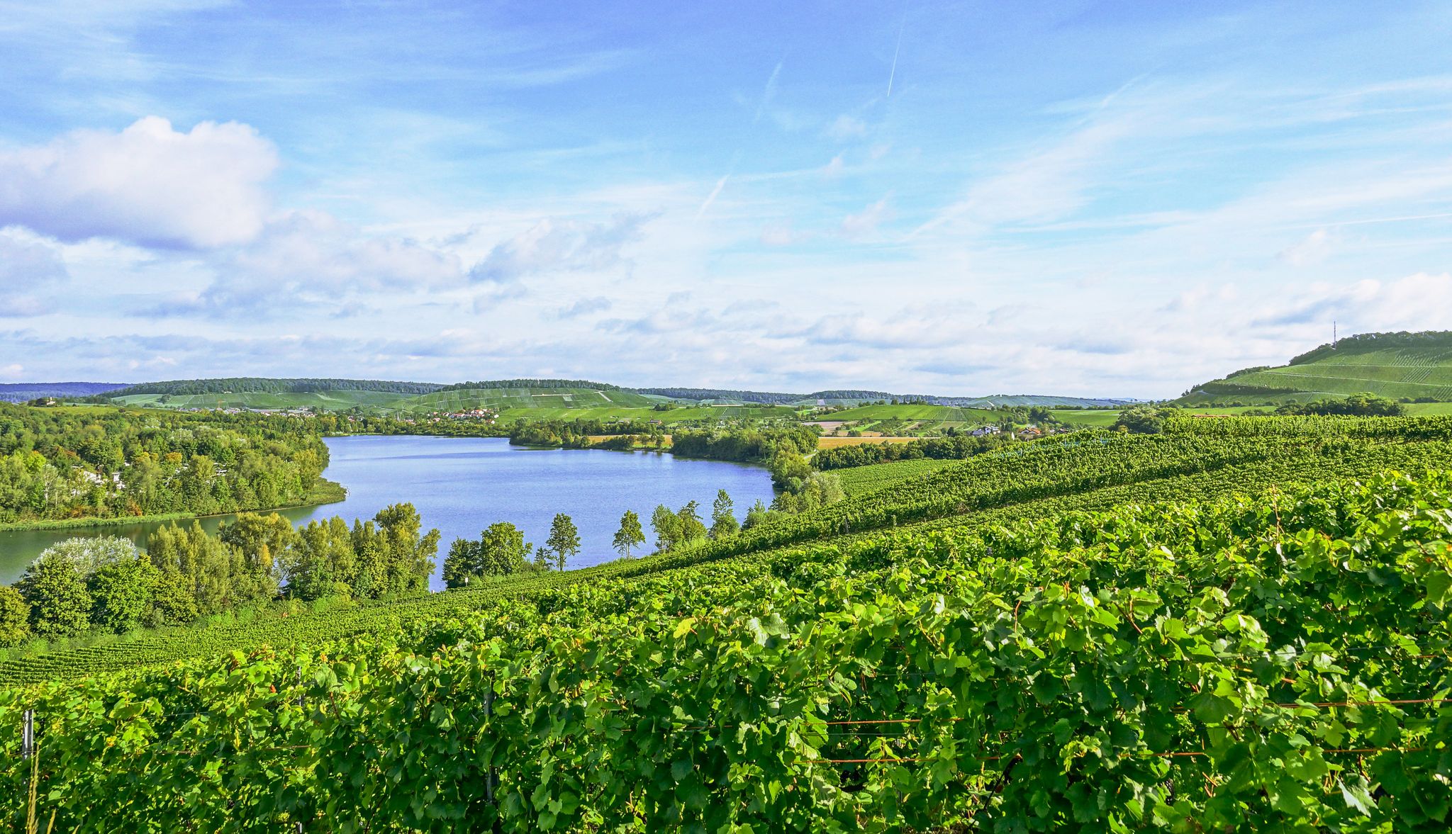
Bus station hiking trails around Neuenstadt am Kocher are situated within the scenic Kocher Valley, characterized by the winding Kocher River and surrounding vineyards. The region features a varied topography of gentle river valleys, high plateaus, and fertile agricultural lands. Hikers can explore routes through picturesque vineyards and idyllic orchards, often with views of the river.
Best bus station hiking trails around Neuenstadt am Kocher
- The most popular bus station hiking route is Lake View Near Haifischbar – War Memorial…
Last updated: July 24, 2026
4.6
(48)
139
hikers
8.36km
02:23
180m
180m
Moderate hike. Good fitness required. Easily-accessible paths. Suitable for all skill levels.
4.4
(17)
71
hikers
13.5km
03:45
250m
250m
Moderate hike. Good fitness required. Easily-accessible paths. Suitable for all skill levels.

Sign up for free
4.1
(9)
32
hikers
Easy hike. Great for any fitness level. Easily-accessible paths. Suitable for all skill levels.
4.9
(9)
41
hikers
Moderate hike. Good fitness required. Easily-accessible paths. Suitable for all skill levels.
32
hikers
Easy hike. Great for any fitness level. Easily-accessible paths. Suitable for all skill levels.
Get access to more routes and recommendations from other explorers.
Sign up for free
Already have an account?
Our route recommendations are based on thousands of hikes, rides, and runs completed by other people on komoot.
Start today with a free account
Your next adventure awaits.
Login or Signup
Popular around Neuenstadt am Kocher
Other adventures around Neuenstadt am Kocher

Tips from the Community


Beautiful tour with views, forest, vineyards, sights and the possibility to extend the tour with additions.
0
0

Church ruins in Neuenstadt am Kocher
0
0

In the cemetery of Stein am Kocher, there is an old cemetery chapel, also known as a Marian chapel, as well as a statue of Mary with the Christ Child. The chapel dates back to a building from 1382 and was once located outside the city walls. Between 1748 and 1750, the dilapidated chapel was rebuilt in its present form and integrated into the town's fortifications. Towards the end of World War II, on April 9, 1945, the chapel was largely destroyed by flying sparks. From 1999 to 2002, the chapel underwent extensive restoration and renovation. It was rededicated on September 28, 2002.
0
0

The ruins of Helmbund Church are the last remnant of the vanished settlement of Helmbund near Neuenstadt am Kocher. The church served as the parish church for the new town until 1481, when it became the parish church of St. Nicholas, the former castle chapel, as well as for the nearby village of Cleversulzbach. The surrounding churchyard served as the burial ground for Neuenstadt and Cleversulzbach until 1636, when the church was destroyed in the Thirty Years' War. However, various regional nobles continued to be buried in the church crypt until the 18th century. Memorial services were held there until 1790.
7
0

The vineyard hut offers a great panoramic view and funny sayings. However, it appears to be a private hut, so you're not allowed to sit down...
2
0
Frequently Asked Questions
How many bus-accessible hiking trails are available around Neuenstadt am Kocher?
There are over 115 bus-accessible hiking trails around Neuenstadt am Kocher, offering a wide variety of options for all skill levels. These routes allow you to explore the scenic Kocher Valley, vineyards, and charming local landscapes without needing a car.
Are there easy, family-friendly hikes accessible by bus in the area?
Yes, many routes are suitable for families and beginners. For an easy and pleasant walk, consider the Kocher Bridge in Neuenstadt – Brettach Confluence loop from Neuenstadt am Kocher. This 5.3 km route has minimal elevation gain and follows the river, perfect for a relaxed outing.
What kind of landscapes can I expect on bus-accessible hikes near Neuenstadt am Kocher?
Hikes from bus stations in this region often lead through diverse landscapes. You'll encounter picturesque vineyards, tranquil river valleys along the Kocher and Brettach, and high plateaus offering panoramic views. Many trails also pass through idyllic orchards and charming forests.
Are there any circular walks starting directly from a bus station?
Yes, many routes are designed as circular walks, making them convenient for public transport users. An example is the Lake View Near Haifischbar – War Memorial Stein am Kocher loop from Stein am Kocher, an easy 5.3 km route that starts and ends in Stein am Kocher, easily reachable by bus.
What can I see along the bus station hiking trails in terms of natural monuments or landmarks?
Along the trails, you can discover several interesting points. The region features natural monuments like the Schilfsandstone Quarry near the Jägerhaus Nature Reserve and the serene Waldheide Meadow. You might also pass by historical sites such as the Weibertreu castle ruins, adding a cultural dimension to your hike.
Are the bus-accessible hiking trails dog-friendly?
Generally, the hiking trails around Neuenstadt am Kocher are dog-friendly. However, it's always recommended to keep your dog on a leash, especially when passing through vineyards, agricultural areas, or nature reserves, to protect wildlife and local flora. Always carry water for your pet.
What is the best time of year to go hiking from bus stations in Neuenstadt am Kocher?
The spring and autumn months are particularly beautiful for hiking. In spring, the orchards are in bloom and the vineyards begin to green. Autumn offers stunning foliage colors and the opportunity to experience local wine festivals. Summer is also pleasant, especially for walks along the Kocher River, while winter can offer peaceful, crisp walks, though some paths might be muddy.
Are there any longer, more challenging routes accessible by bus?
For those seeking a longer adventure, the War Memorial Stein am Kocher – Presteneck Moated Castle loop from Stein am Kocher offers a moderate 14.6 km hike. Another option is the Grünhäusle – Brettach Forest Lake loop from Cleversulzbach, which is 13.5 km and also rated moderate, providing a good challenge with varied terrain.
What do other hikers enjoy most about the bus-accessible trails in Neuenstadt am Kocher?
The area is highly rated by the komoot community, with an average score of 4.5 stars. Reviewers often praise the well-maintained paths, the peaceful atmosphere of the Kocher Valley, and the beautiful views over the vineyards. The convenience of accessing these diverse trails via public transport is also frequently highlighted.
Can I find places to eat or drink near the bus-accessible hiking trails?
Yes, many villages and towns along the bus routes, such as Neuenstadt am Kocher itself or Stein am Kocher, offer local restaurants and cafes where you can refuel after your hike. During harvest season, you might also find seasonal wine taverns (Besenwirtschaften) in the vineyard areas.
Are there any routes that pass by a lake?
Yes, some routes will bring you close to water features. For example, the Parking lot at Waldsee – Brettach Forest Lake loop from Cleversulzbach is a moderate 8.4 km hike that includes the scenic Brettach Forest Lake, offering a refreshing stop along the way.
Most popular routes around Neuenstadt am Kocher
Most popular attractions around Neuenstadt am Kocher

Get inspired with the komoot mobile app


Explore more
Browse the best Hikes in other regions.
