The best road cycling routes around Nesselwängle
4.6
(637)
15,353
riders
92
rides
Road cycling routes around Nesselwängle are set within the scenic Tannheimer Tal in Austria, characterized by alpine landscapes, prominent mountains, and clear lakes. The region features well-maintained cycling paths, including asphalt sections and some forestry roads, offering varied gradients suitable for different fitness levels. Cyclists can explore valleys, pass by lakes like Haldensee, and enjoy views of the surrounding Allgäu Alps.
Best road cycling routes around Nesselwängle
- The most popular road cycling route is Unterjoch – View of Aggenstein loop…
Last updated: May 14, 2026
4.8
(69)
1,150
riders
49.2km
02:15
480m
480m
Moderate road ride. Good fitness required. Some segments of this route may be unpaved and difficult to ride.
4.3
(4)
174
riders
33.8km
01:33
400m
400m
Moderate road ride. Good fitness required. Mostly well-paved surfaces and easy to ride.

Sign up for free
5.0
(3)
40
riders
90.6km
04:09
1,020m
1,020m
Hard road ride. Very good fitness required. Some segments of this route may be unpaved and difficult to ride.
4.8
(14)
433
riders
44.1km
02:02
370m
370m
Moderate road ride. Good fitness required. Mostly well-paved surfaces and easy to ride.
4.0
(1)
34
riders
18.9km
00:47
140m
140m
Easy road ride. Great for any fitness level. Mostly well-paved surfaces and easy to ride.
Get access to more routes and recommendations from other explorers.
Sign up for free
Already have an account?
Our route recommendations are based on thousands of hikes, rides, and runs completed by other people on komoot.
Start today with a free account
Your next adventure awaits.
Login or Signup
Popular around Nesselwängle
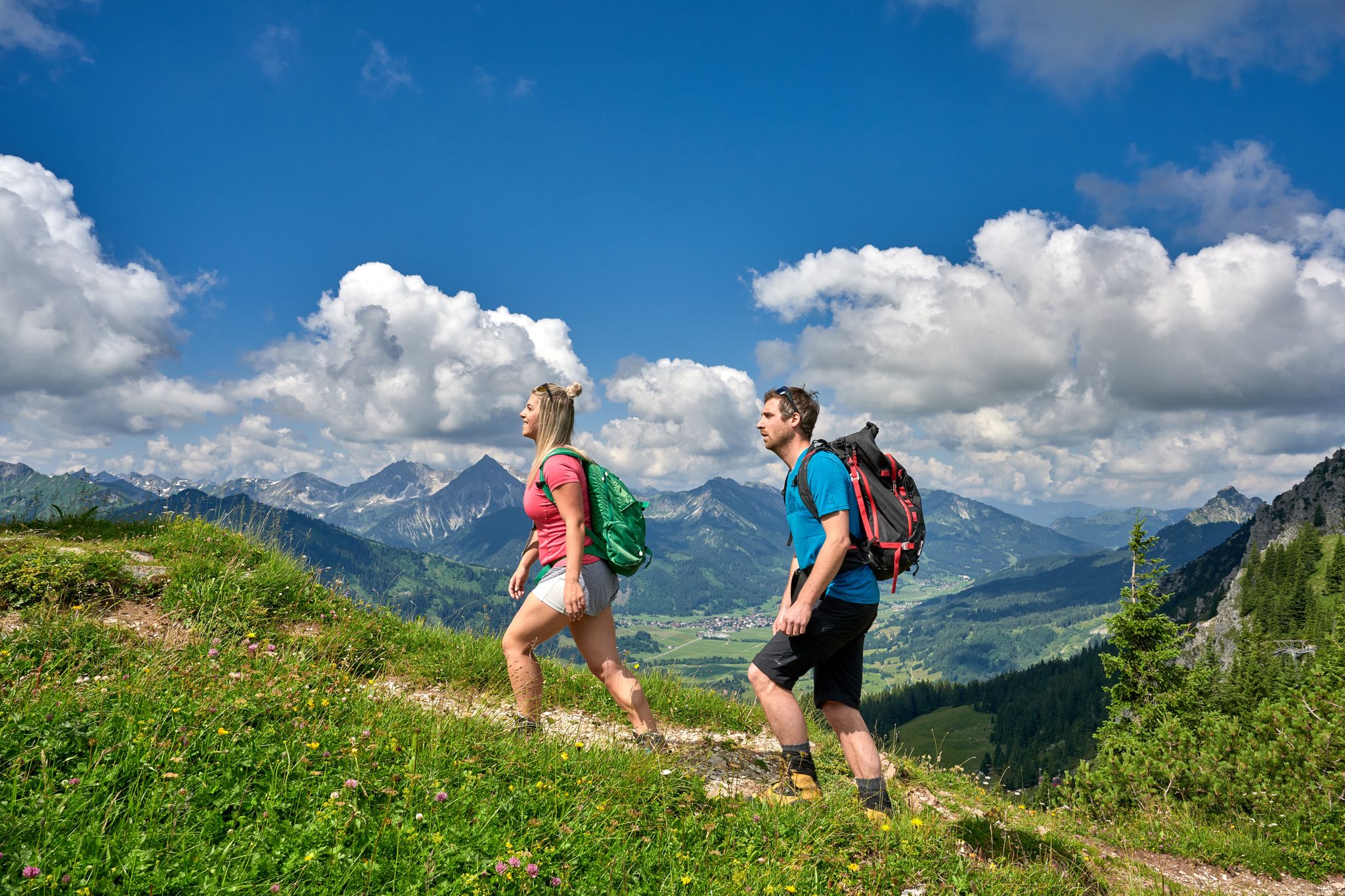
Beautiful alpine hikes with mountain huts in Austria’s Tannheimer Tal
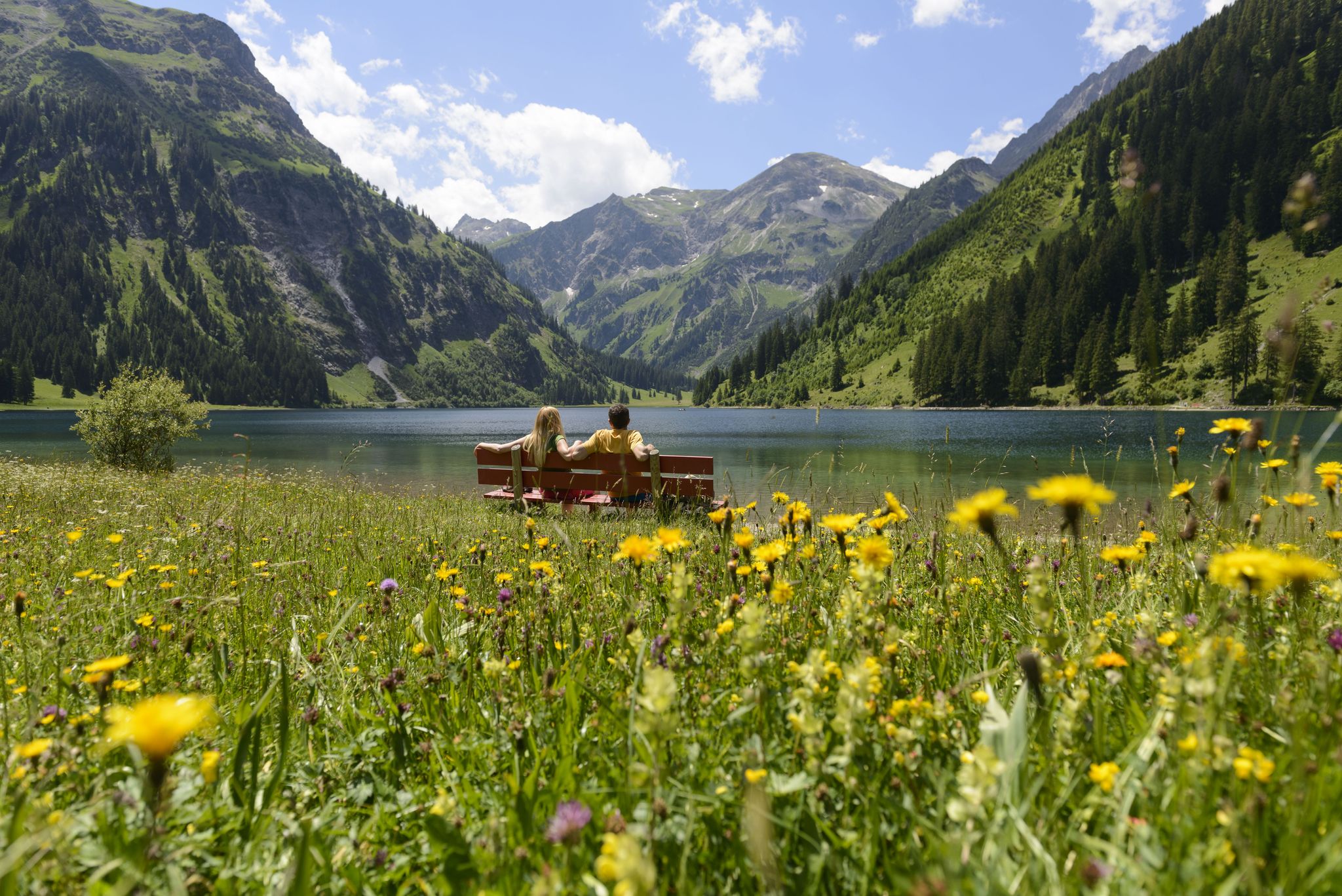
Summits, lakes & pleasure — Hiking in the Tannheimer Valley
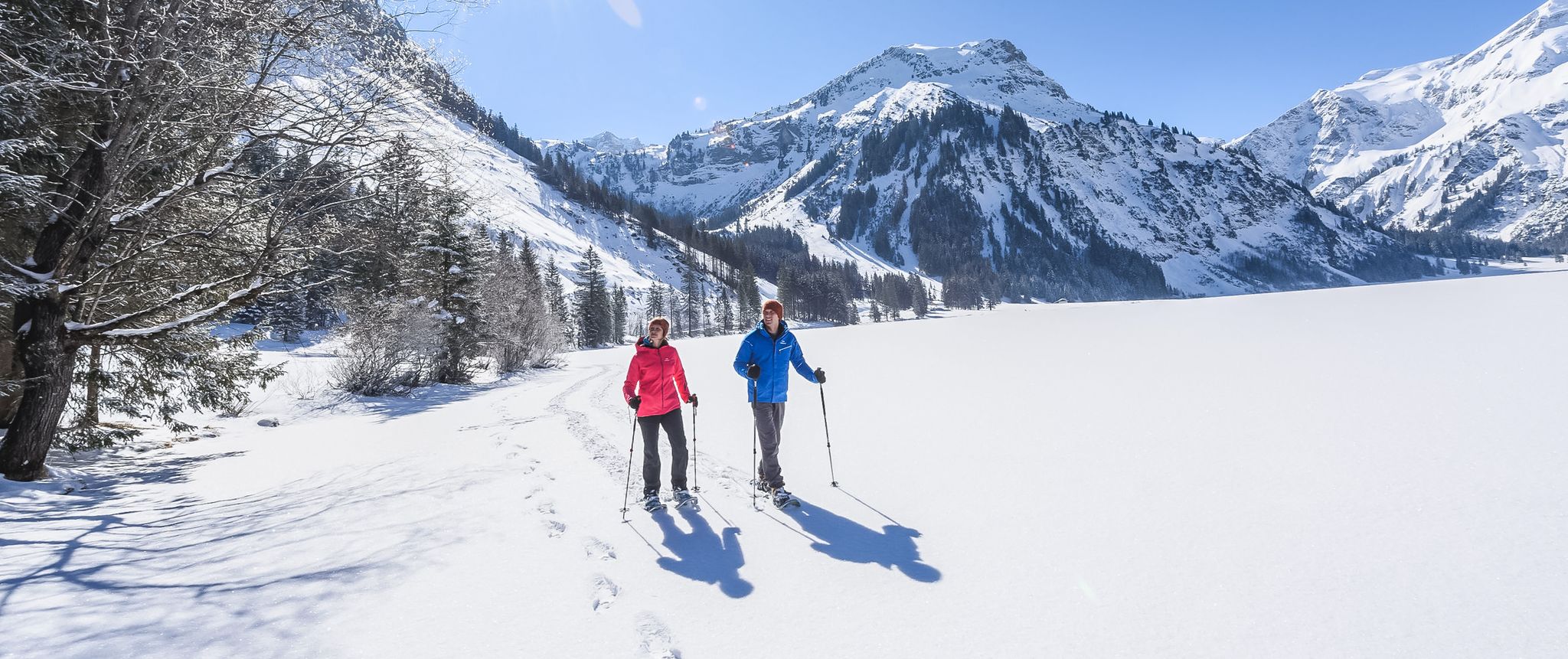
Mountains, snow & a clear blue sky – winter hikes in the Tannheimer Valley
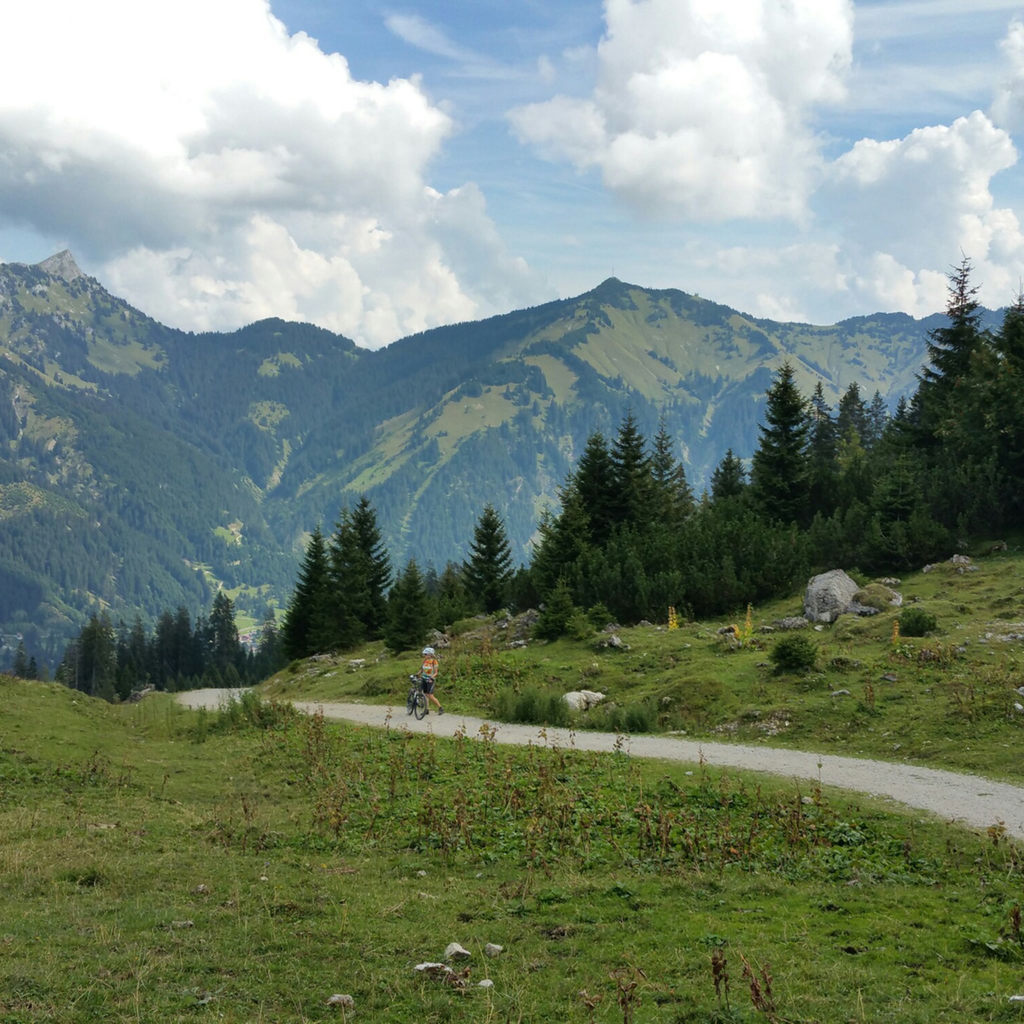
Hiking around Nesselwängle
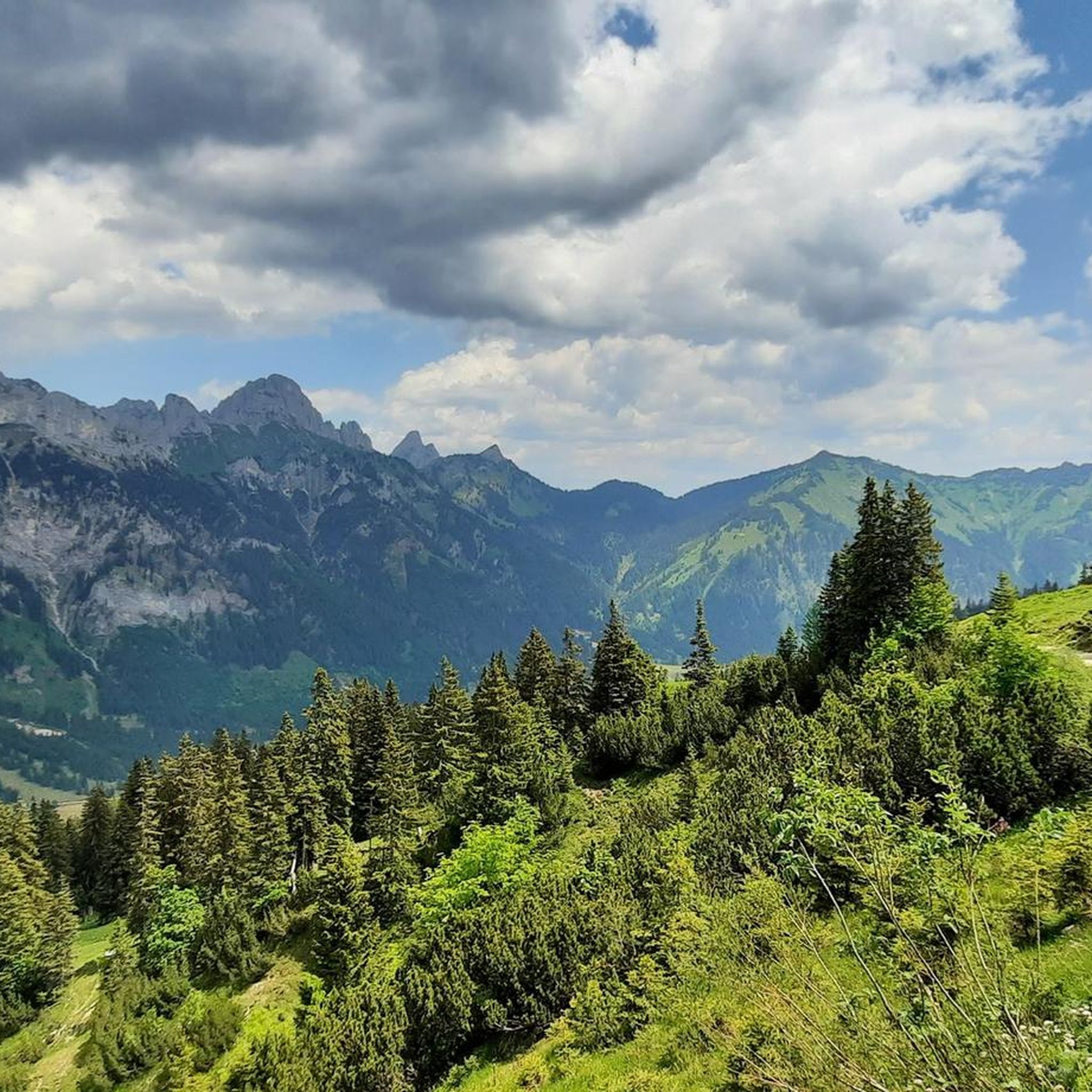
MTB Trails around Nesselwängle
Mountain Hikes around Nesselwängle
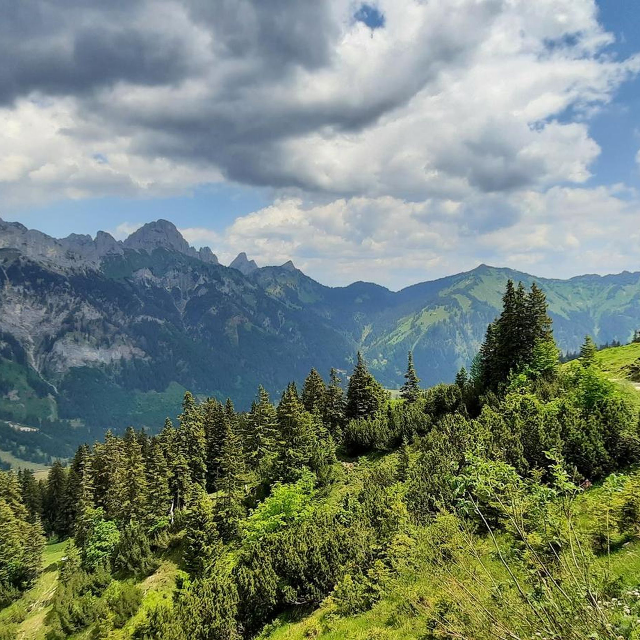
Cycling around Nesselwängle
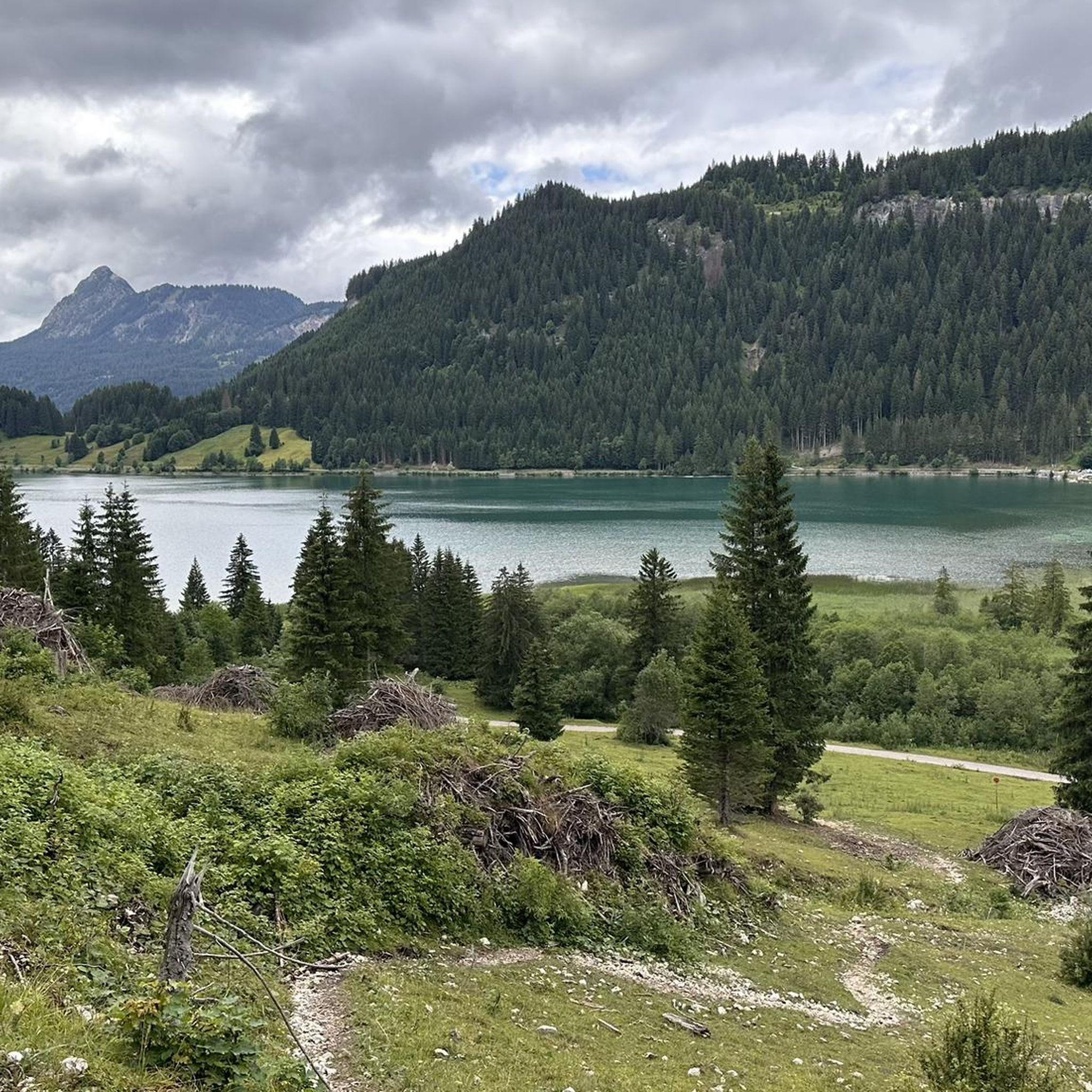
Running Trails around Nesselwängle

Gravel biking around Nesselwängle
Other adventures around Nesselwängle

Tips from the Community

Great view, beautiful panorama
0
0

Despite the traffic, a beautiful and strenuous climb
0
0

Very nice descent, but cyclists should be especially careful at the cow grids, as they can be slippery
0
0

A very beautiful lake in the Tannheimer Valley. The lake can also be easily circumnavigated (the entry point is somewhat hidden on an inconspicuous road). However, the asphalt quickly turns into a fine gravel path. Doable for road bikes with careful riding – a Strade Bianche feeling.
0
0

Great climb! Even beginners can do it, as there are plenty of opportunities to take a breather :) This challenge is worth it!
1
0


The most beautiful descent in the Allgäu region! I love it so much! Be careful in summer/autumn, as it's also a pasture and there are often cows on the road.
0
0

A perfect view of the Aggenstein on a beautiful route with many impressions of nature
0
0
Frequently Asked Questions
How many road cycling routes are available around Nesselwängle?
Nesselwängle offers a wide selection of road cycling routes, with over 90 different tours to explore. These routes cater to various skill levels, including easy, moderate, and challenging options.
Are there easy road cycling routes suitable for beginners in Nesselwängle?
Yes, Nesselwängle provides several easy road cycling routes perfect for beginners or those seeking a relaxed ride. A great option is the Haldensee – View of Haldensee loop from Nesselwängle, which is just under 19 km with minimal elevation gain. Another easy route is the Haldensee – Haldensee loop from Grän, a 12 km path with gentle gradients.
What are some challenging road cycling routes around Nesselwängle?
For experienced cyclists looking for a challenge, Nesselwängle offers routes with significant elevation. While specific challenging routes are not detailed in the top picks, the region's connection to the Allgäu Alps means you can find tours with considerable climbs and durations of up to five hours, requiring good fitness.
What scenic viewpoints or natural attractions can I see along road cycling routes in Nesselwängle?
Road cycling routes in Nesselwängle often feature stunning alpine vistas and natural attractions. You can enjoy views of prominent mountains like Rote Flüh and Gimpel. Many routes pass by the beautiful Lake Vilsalp, known as one of Tyrol's most picturesque mountain lakes, and the serene Haldensee. Some tours even offer enchanting panoramic views, including distant glimpses of Neuschwanstein Castle.
Can I find circular road cycling routes in the Nesselwängle area?
Yes, many road cycling routes around Nesselwängle are designed as loops, allowing you to start and end at the same point. Examples include the popular Unterjoch – View of Aggenstein loop from Grän and the Unterjoch – View of Haldensee loop from Nesselwängle, both offering diverse scenery.
When is the best time of year for road cycling in Nesselwängle?
The Tannheimer Tal, where Nesselwängle is located, is ideal for road cycling during the warmer months. Late spring through early autumn typically offers the most favorable weather conditions, with pleasant temperatures and clear skies, allowing you to fully enjoy the alpine landscapes and well-maintained paths.
What kind of terrain and gradients can I expect on road cycling routes in Nesselwängle?
The terrain around Nesselwängle is varied. You'll find predominantly asphalt paths, especially on the scenic Tannheimer Tal Cycle Path, though some routes may include short gravel sections. Gradients range from barely noticeable, like the 50-meter rise on the Tannheimer Tal Cycle Path, to more significant ascents over passes such as the Gaicht Pass, catering to different fitness levels.
Can I connect to other regional cycle routes from Nesselwängle?
Absolutely. Nesselwängle serves as an excellent starting point for broader exploration. You can connect to other regional cycle routes, such as sections of the Lech Cycle Route and the Allgäu round tour, expanding your cycling possibilities across the wider alpine region.
What do other road cyclists appreciate most about Nesselwängle?
The road cycling experience in Nesselwängle is highly rated by the komoot community, with an average score of 4.6 stars from over 600 reviews. Cyclists often praise the stunning alpine landscapes, the well-maintained paths, and the diverse routes that cater to all abilities, from leisurely rides around lakes to challenging mountain ascents.
Are there family-friendly road cycling options in Nesselwängle?
Yes, the region offers family-friendly road cycling options, particularly along the Tannheimer Tal Cycle Path. This route is predominantly asphalt with a gentle gradient, making it accessible for families. It often utilizes agricultural and forestry roads, keeping cyclists away from main traffic for a safer and more enjoyable experience.
Are road cycling routes in Nesselwängle accessible by public transport?
While specific public transport connections to trailheads are not detailed, the Tannheimer Tal region is generally well-connected. It's advisable to check local bus schedules, as public transport often serves villages and popular starting points within the valley, potentially allowing access to various road cycling routes.
Most popular routes around Nesselwängle
Most popular attractions around Nesselwängle

Get inspired with the komoot mobile app


Explore more
Browse the best Road cycling routes in other regions.
