The best walks and hikes in Neckar-Odenwald-Kreis
4.6
(15407)
51,595
hikers
3,135
hikes
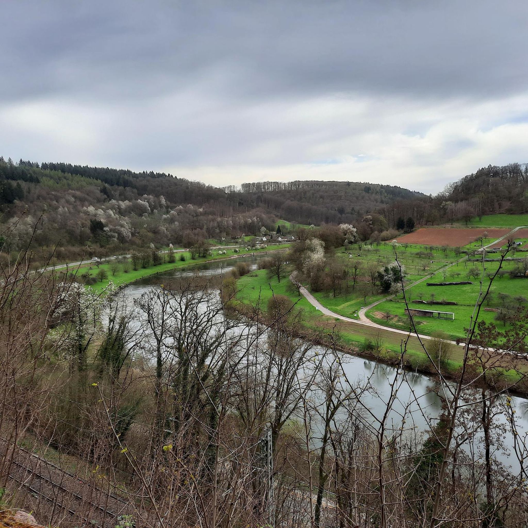
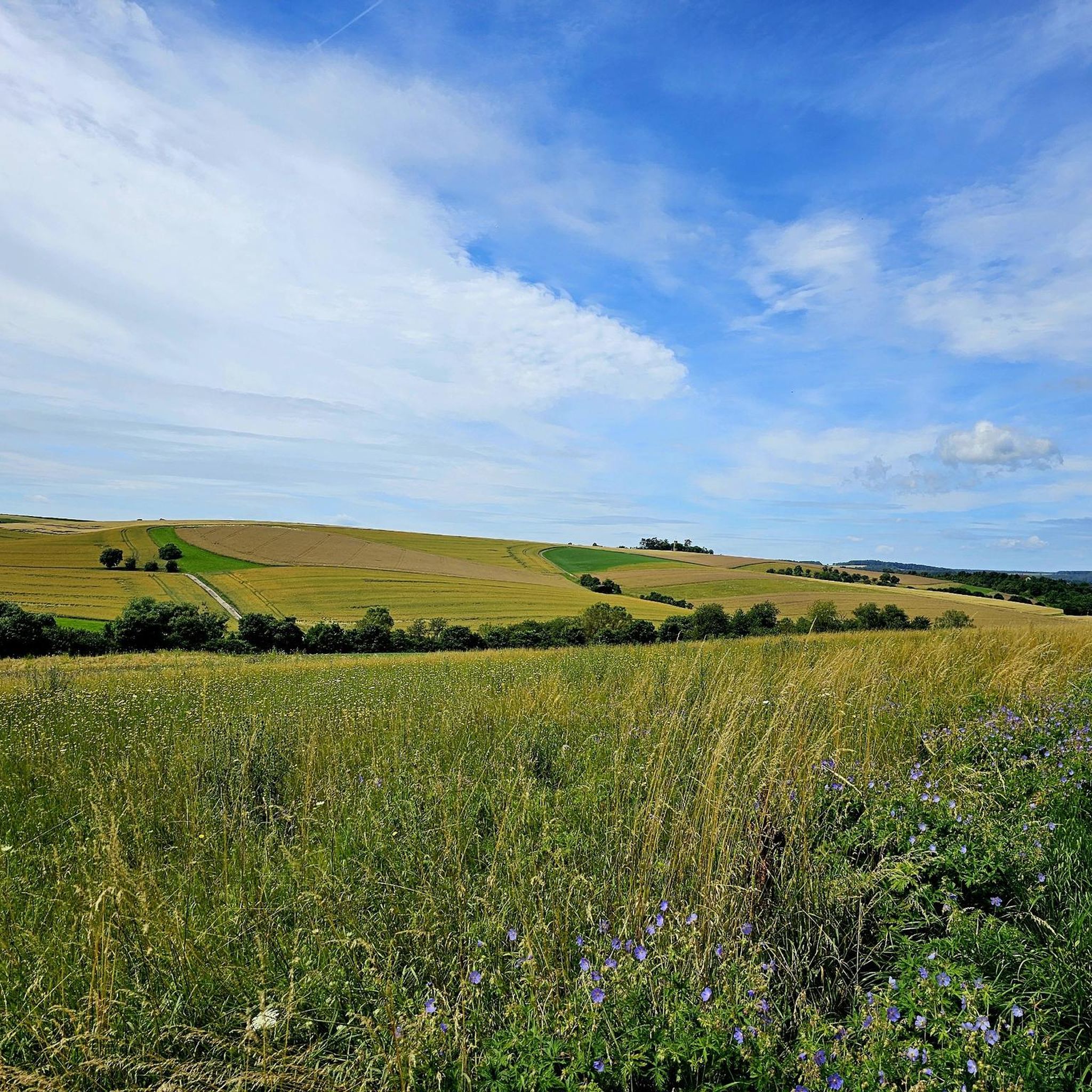
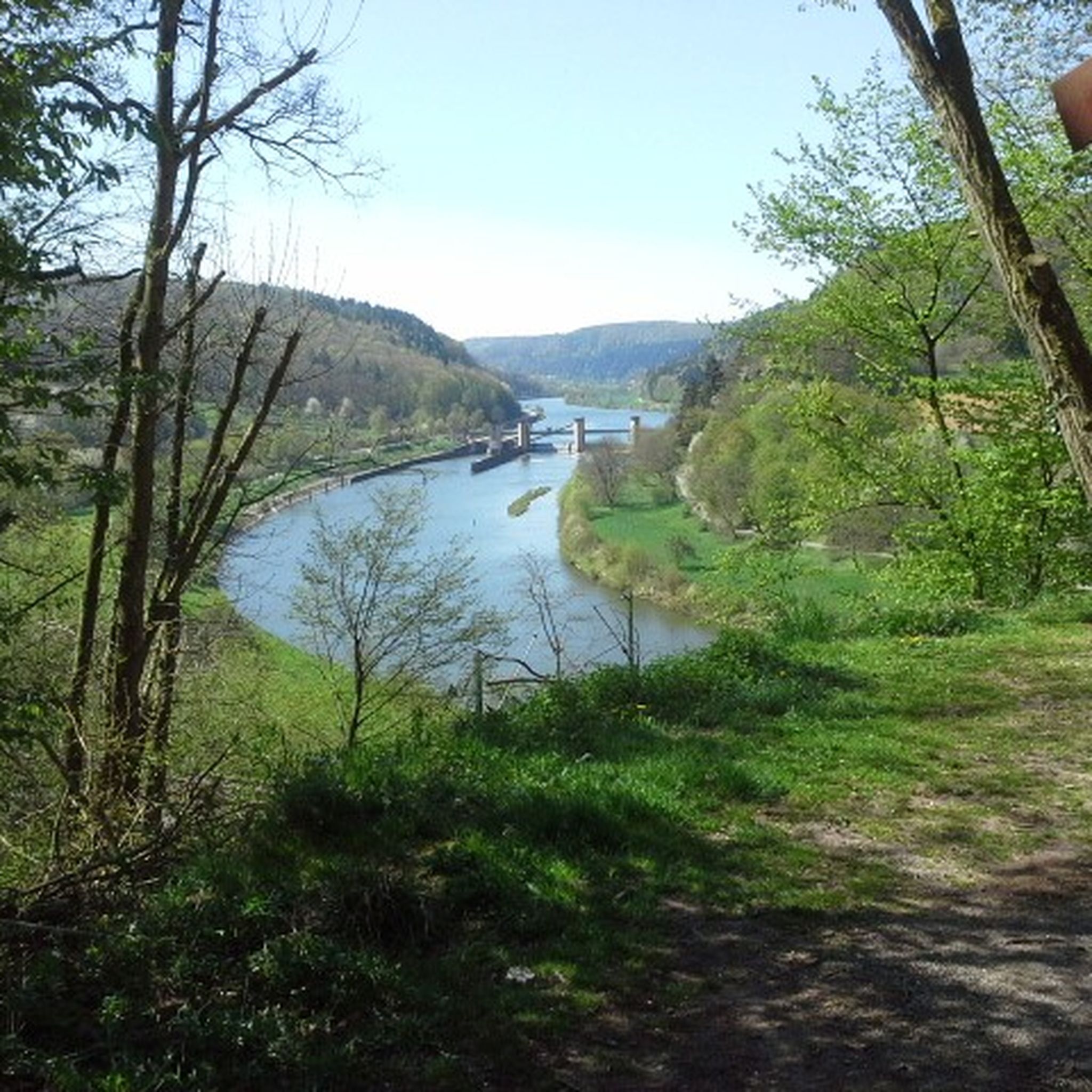
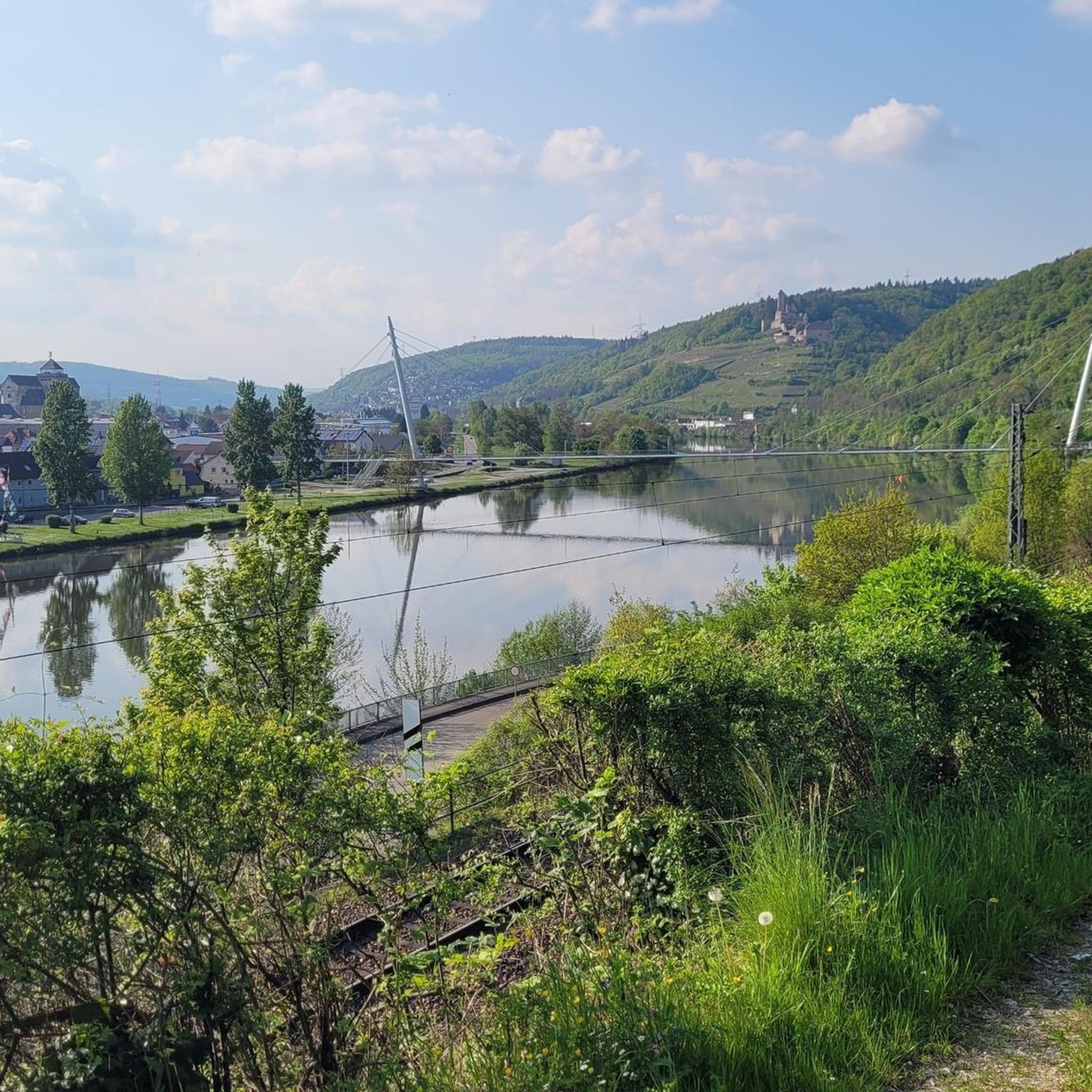
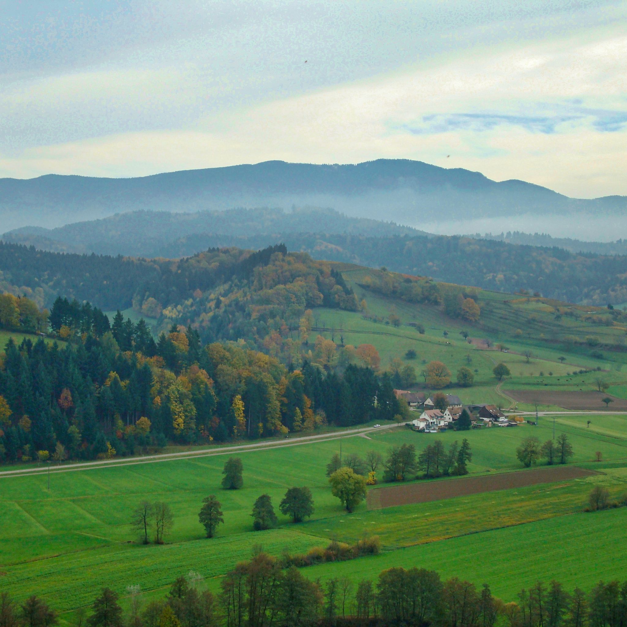
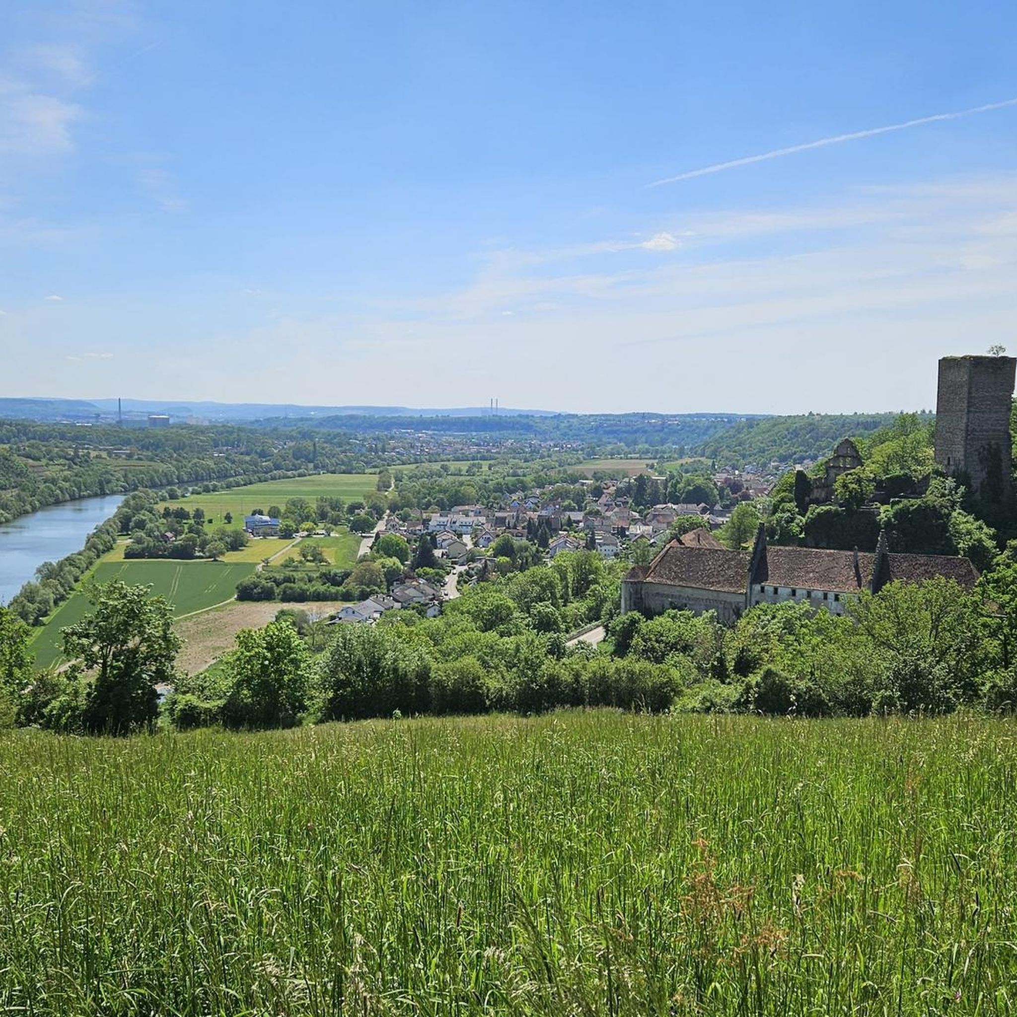
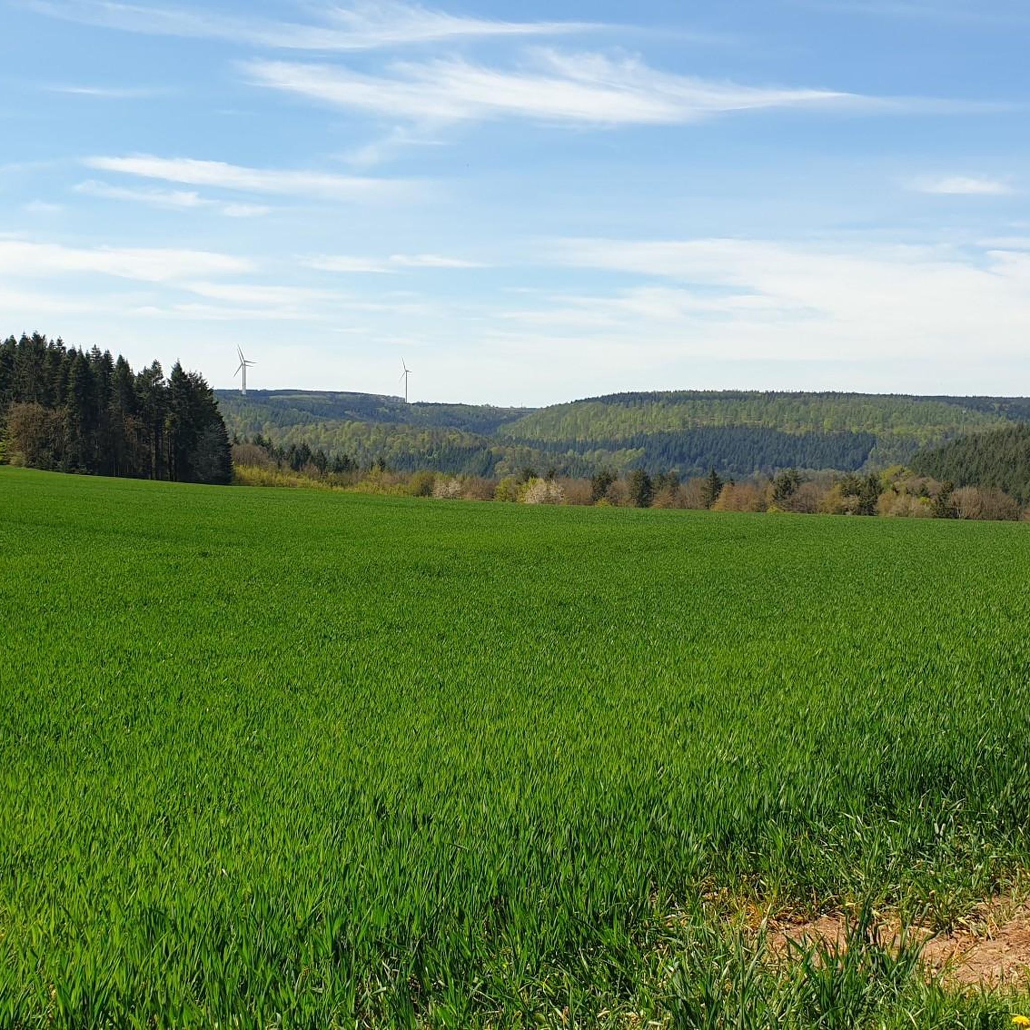
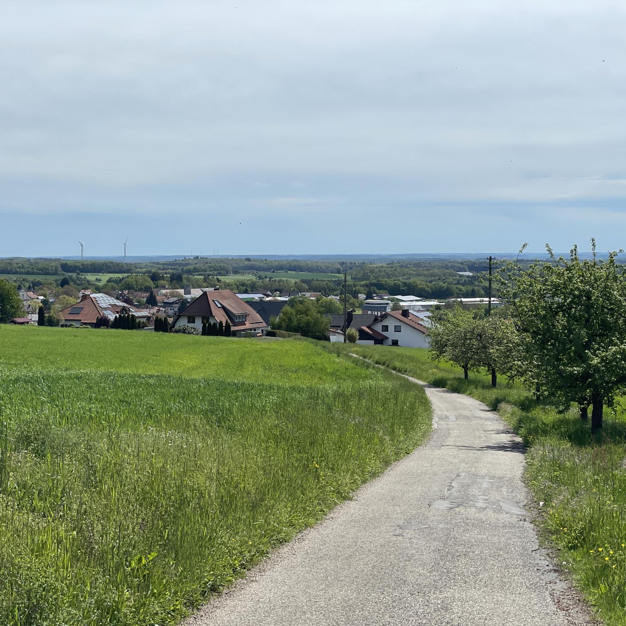
Hiking in Neckar-Odenwald-Kreis offers diverse terrain characterized by dense forests, rolling hills, and the picturesque Neckar River valley. The region, part of the Odenwald, features extensive woodlands and undulating landscapes. Trails often follow the Neckar River, providing views of vineyards and historical sites, particularly within the Neckartal-Odenwald Nature Park. The area also includes nature reserves and numerous lookout points across the Odenwald.
Best hiking trails in Neckar-Odenwald-Kreis
- The most popular hiking route is Stage 7: From Neckargerach to Mosbach –…
Last updated: October 1, 2026
4.7
(418)
1,454
hikers
13.4km
03:59
330m
330m
Hard hike. Good fitness required. Sure-footedness, sturdy shoes and alpine experience required.
4.5
(69)
235
hikers
13.5km
03:45
240m
240m
Moderate hike. Good fitness required. Easily-accessible paths. Suitable for all skill levels.

4.6
(135)
382
hikers
8.76km
02:24
140m
140m
Moderate hike. Good fitness required. Mostly accessible paths. Sure-footedness required.
4.8
(777)
2,211
hikers
10.3km
02:54
200m
200m
Moderate hike. Good fitness required. Easily-accessible paths. Suitable for all skill levels.
4.6
(112)
292
hikers
14.4km
04:02
280m
280m
Moderate hike. Good fitness required. Easily-accessible paths. Suitable for all skill levels.
4.5
(76)
200
hikers
10.2km
02:54
220m
220m
Moderate hike. Good fitness required. Easily-accessible paths. Suitable for all skill levels.
4.7
(95)
283
hikers
8.23km
02:10
70m
70m
Moderate hike. Good fitness required. Easily-accessible paths. Suitable for all skill levels.
4.7
(95)
283
hikers
8.24km
02:11
80m
90m
Moderate hike. Good fitness required. Easily-accessible paths. Suitable for all skill levels.
4.4
(58)
194
hikers
9.32km
02:33
150m
150m
Moderate hike. Good fitness required. Mostly accessible paths. Sure-footedness required.
4.6
(78)
215
hikers
7.98km
02:13
150m
130m
Moderate hike. Good fitness required. Easily-accessible paths. Suitable for all skill levels.
Get access to more routes and recommendations from other explorers.
Already have an account?
Our route recommendations are based on thousands of hikes, rides, and runs completed by other people on komoot.
Start today with a free account
Your next adventure awaits.
Other adventures in Neckar-Odenwald-Kreis


Tips from the Community

Like some other Roman paths, a great replica of a palisade fence.
0
0

Beautiful mountain chapel with a magnificent view over Rinsche
0
0

The watchtower in the Odenwald recalls the strategic importance of this elevated position, from which paths, borders, and trade routes were monitored. Today, peace reigns here instead of busy border traffic, but the historical backdrop hints at the role this place once played.
3
0
Even though the bench has become a bit dated over time, this place has lost none of its charm. Anyone who takes a short break here can enjoy the vastness of the landscape and let the special atmosphere of the Odenwald take effect.
8
0
The field cross near Limbach is particularly striking due to its unusual vegetation. Almost completely covered in green, it appears from a distance as if it were wearing a natural robe.
7
0
The goddess of victory, Victoria, was considered a symbol of success, protection, and power. The faithfully reconstructed representation on the Balsbacher Weg trail provides a vivid impression of the former Roman culture and is one of the most striking historical stations on the Venuspfad trail.
8
0
The Heunebuckel was once an important checkpoint on a historical transport route between the Neckar and Main rivers. A guard post was located here, monitoring travelers and merchants and controlling border traffic. Even today, visible rampart and ditch remains recall this strategically important facility and offer an exciting glimpse into the eventful history of the Odenwald.
8
0

Very interesting museum, worth seeing if you are nearby.
4
0
Frequently Asked Questions
How many hiking trails are available in Neckar-Odenwald-Kreis?
The Neckar-Odenwald-Kreis offers a vast network of hiking opportunities, with over 3,200 routes available. This includes a diverse range of trails suitable for various preferences and fitness levels.
What types of terrain and difficulty levels can I expect on hikes in this region?
The region features diverse terrain, from dense forests and rolling hills to the picturesque Neckar River valley. You'll find a good mix of difficulty levels: over 1,800 easy routes, nearly 1,200 moderate trails, and around 130 more challenging hikes, ensuring options for everyone.
Are there any family-friendly hiking options in Neckar-Odenwald-Kreis?
Yes, the Neckar-Odenwald-Kreis has many family-friendly options. Look for trails like the Römerpfad Quality Trail: Limbach Venus Path, which is moderate in difficulty and offers historical insights. The region also features themed trails such as the Walderlebnispfad (Forest Experience Path) and easy forest trails around Katzenbuckel, perfect for younger hikers.
Can I bring my dog on the hiking trails in Neckar-Odenwald-Kreis?
Most hiking trails in the Neckar-Odenwald-Kreis are dog-friendly, but it's always recommended to keep your dog on a leash, especially in nature reserves or areas with wildlife. Always check local signage for specific restrictions.
Are there any circular hiking routes in the Neckar-Odenwald-Kreis?
Yes, many circular routes are available. For example, the Binauer Rundweg – Odenwald und Neckartal is a moderate 9.3 km loop that offers varied scenery through the Odenwald and Neckar valley.
What are some notable natural features or landmarks to see while hiking?
The region is rich in natural beauty and historical sites. You can explore the impressive Margaretenschlucht (Margaret Gorge), known for its geological formations, or visit the Cat hump tower on Katzenbuckel for panoramic views. The Neckar River valley itself offers stunning vistas, vineyards, and castles.
Are there any hikes that feature waterfalls?
Yes, the Margaretenschlucht is a highlight for those seeking waterfalls. The Margaretenschlucht Waterfalls loop from Neckargerach is a challenging but rewarding 4.1 km hike that takes you through this impressive gorge with its cascading water features.
What is the best season for hiking in Neckar-Odenwald-Kreis?
The Neckar-Odenwald-Kreis is beautiful year-round, but spring and autumn are particularly recommended. In spring, the forests burst with new growth, and in autumn, the foliage along the Neckar River valley offers spectacular colors. Summer provides lush green landscapes, while winter can offer serene, snow-covered trails, though some routes might be more challenging.
Are there historical trails or Roman paths in the area?
Absolutely. The region is home to several 'Römerpfade' (Roman Paths) that combine hiking with history. One example is the Römerpfad Quality Trail: Herkulespfad Buchen, a moderate 14.4 km route that delves into the local Roman heritage.
What do other hikers enjoy most about hiking in Neckar-Odenwald-Kreis?
The area is highly rated by the komoot community, with an average score of 4.6 stars from over 13,500 reviews. Hikers often praise the diverse landscapes, from dense forests to the scenic Neckar River valley, as well as the well-marked trails and the blend of natural beauty with historical sites like Roman paths and castles.
Are there any long-distance hiking trails that pass through the region?
Yes, the Neckar-Odenwald-Kreis is part of the larger Odenwald region and is traversed by notable long-distance trails. The Neckarsteig, a 126.4 km certified trail from Heidelberg to Bad Wimpfen, offers segments like Stage 7: From Neckargerach to Mosbach – Neckarsteig, which is a challenging 13.4 km section.
Are there good starting points for hikes that are accessible by public transport?
Many charming towns in the region, such as Mosbach, Buchen, and Binau, serve as excellent starting points for hikes and are often accessible by public transport. The Neckarsteig, for instance, is well-connected by S-Bahn and passenger ships, allowing for individual day tours or multi-day hikes with convenient access.
Most popular routes in Neckar-Odenwald-Kreis
Most popular attractions in Neckar-Odenwald-Kreis

Get inspired with the komoot mobile app


Didn’t find what you were looking for?
Check out more Hikes throughout Neckar-Odenwald-Kreis below and find the perfect route in your destination.
Explore more
Browse the best Hikes in other regions.
