The best traffic-free bike rides around Beverino
4.1
(27)
229
riders
3
rides
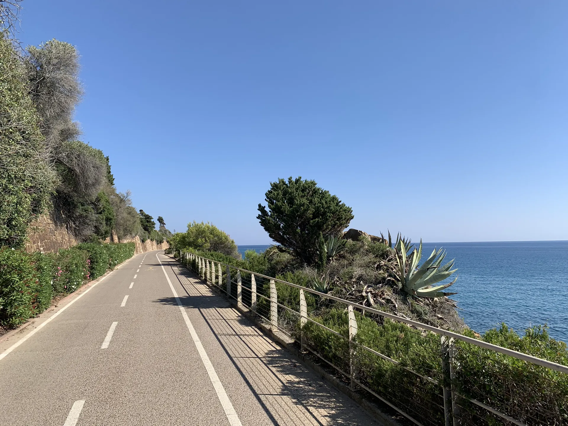
Gravel biking around Beverino offers a diverse landscape where the Apennine Mountains meet the Ligurian Sea. The region is characterized by the Vara Valley, featuring a mix of gentle hills, dense forests, and agricultural areas. Riders can experience significant elevation changes, traversing routes that weave from challenging mountain passes to coastal trails with distant views of the Ligurian coast. The terrain includes both paved and unpaved surfaces, providing a dynamic riding experience for gravel bikers.
Best no traffic gravel bike…
Last updated: November 8, 2026
3
riders
43.0km
03:30
1,170m
1,170m
Hard gravel ride. Very good fitness required. Mostly paved surfaces.
3
riders
43.4km
03:29
1,180m
1,180m
Hard gravel ride. Very good fitness required. Mostly paved surfaces.

2
riders
26.1km
02:02
620m
620m
Hard gravel ride. Very good fitness required. Mostly paved surfaces.
Our route recommendations are based on thousands of hikes, rides, and runs completed by other people on komoot.
Start today with a free account
Your next adventure awaits.

Other adventures around Beverino

Tips from the Community

Foce del Termine is a mountain pass located at an altitude of 1,008 meters in the territory of the municipality of Zignago (province of La Spezia), along the route of the Alta Via dei Monti Liguri (AVML).
0
0

Passo Alpicella is located at 710m above sea level and is part of the 42nd stage of the Alta Via dei Monti Liguri. It is located on the watershed ridge between Val di Vara and Valle del Magra, offering open views that on clear days reach the Apuan Alps and the Gulf of Poets.
1
0
The dirt road that connects the hamlet of Bagatello to Valico dei Solini follows the route of the 43rd stage of the Alta Via dei Monti Liguri (Ceparana–Valico dei Solini) and also partly coincides with a segment of the Lunigiana Gravel. The route is easy to ride: the surface is largely compact and stable, ideal for gravel and MTB. Some short sections have a slightly more unstable surface, with loose gravel or uneven terrain, but overall the ride is smooth and pleasant, even uphill. The natural setting is very suggestive, with wooded sections and open views towards the Val di Vara.
1
0

Here the dirt road runs along the ridge of the mountains between the Vara Valley and the Magra Valley
0
0
The Alta Via dei Monti Liguri unites in a single long trekking itinerary the paths of the peaks of the Apennines from Val di Vara to Val Nervia, connecting the existing regional parks from Ceparana to Ventimiglia. The stretch we walked starts near the medieval village of Bolano and first climbs to the Solini pass and then reaches the Apicella pass and from there goes back up to the Casoni pass. Continuing on the ridge it touches the slopes of Mount Cornovigilio and the Rastrello and Calzavitello passes.
0
0
Shaded place, ideal for a stop in the summer.
0
0

ALPICELLA PASS WHICH DIVIDES LIGURIA FROM TUSCANY PHOTO OF THE OLD RESTAURANT
2
0

Small fountain along the way. Good for a short break.
1
0
Frequently Asked Questions
How many no-traffic gravel bike trails are available around Beverino?
There are at least 4 challenging no-traffic gravel bike trails detailed in this guide, all offering a unique experience away from busy roads. These routes are carefully selected to provide a serene and immersive cycling adventure through the region's stunning landscapes.
What kind of terrain can I expect on no-traffic gravel bike trails around Beverino?
The no-traffic gravel trails around Beverino offer a diverse mix of terrain, from gentle hills and dense forests in the Val di Vara to more rugged sections with significant elevation changes as you approach the Apennine foothills. You'll encounter a blend of unpaved surfaces, making for a dynamic and engaging gravel biking experience. Distant views of the Ligurian coast are a common reward.
What is the difficulty level of the no-traffic gravel trails in this area?
All the no-traffic gravel bike trails featured in this guide are classified as difficult. They involve considerable elevation gains and distances, making them suitable for experienced gravel bikers looking for a challenging and rewarding ride. For example, the View of Lerici and the Gulf of La Spezia – Montemarcello Village loop from Cà dei Boschetti covers nearly 47 km with over 1000 meters of elevation gain.
Are there any circular no-traffic gravel bike routes available?
Yes, all the no-traffic gravel bike routes highlighted in this guide are circular loops. This allows for convenient starting and ending points, ensuring you return to your origin without needing additional transport. An example is the Telegrafo Pass – Sant'Antonio Pass loop from La Spezia Centrale, which offers a challenging loop experience.
What landmarks or viewpoints can I see along no-traffic gravel bike trails in Beverino?
Many trails offer breathtaking views and pass near significant landmarks. For instance, routes might provide glimpses of the iconic Cinque Terre villages or panoramic views of the Ligurian Sea. While cycling, you could be near viewpoints like the View of Vernazza and the sea or the View of Vernazza from the Vernazza–Corniglia Trail, offering stunning coastal vistas.
What are the elevation gains like on these no-traffic gravel trails?
The no-traffic gravel trails around Beverino feature significant elevation gains, reflecting the region's hilly and mountainous terrain. You can expect climbs ranging from approximately 600 meters to over 1100 meters on a single route. For example, the Rastrello Pass – Alta Via dei Monti Liguri loop from Brugnato involves over 1100 meters of ascent.
What is the best time of year to gravel bike on these no-traffic trails in Beverino?
The unique geographical position of Beverino, where the Apennines meet the Ligurian Sea, generally offers pleasant conditions for gravel biking for much of the year. Spring and autumn are often ideal, with milder temperatures and lush landscapes. Summer can be warm, especially at lower elevations, so early morning rides are recommended. Winter rides are possible but require checking weather conditions for higher passes.
Are these no-traffic gravel bike trails suitable for families?
Given that all the no-traffic gravel bike trails in this guide are classified as difficult and involve significant distances and elevation gains, they are generally not recommended for young children or beginners. These routes are better suited for experienced adult riders or families with older, very fit teenagers who are accustomed to challenging gravel biking.
Can I bring my dog on these no-traffic gravel routes?
While many outdoor areas in Italy are dog-friendly, it's essential to consider the difficulty and length of these specific gravel routes. For the comfort and safety of your dog, especially on challenging trails with significant climbs and descents, ensure they are fit enough for such an undertaking. Always keep dogs on a leash, especially in areas with wildlife or livestock, and carry enough water for both yourself and your pet.
What do other gravel bikers enjoy most about the no-traffic trails in Beverino?
The no-traffic gravel trails around Beverino are highly rated by the komoot community, with an average score of 4.86 stars. Reviewers often praise the challenging yet rewarding climbs, the stunning panoramic views of the Ligurian coast and the Val di Vara, and the peaceful, car-free environment that allows for an immersive experience in nature. The diverse terrain and the sense of adventure are frequently highlighted.
Where can I find parking for these no-traffic gravel bike trails?
Parking availability varies depending on the specific starting point of each trail. For routes like the Passo Alpicella (710 m) – Moon Trail loop from Piana Battolla, you can often find designated parking areas in or near the villages where the loops begin. It's advisable to check the route details on komoot for specific parking recommendations for your chosen trail.
How can I reach the starting points of these trails by public transport?
While some routes, like the Telegrafo Pass – Sant'Antonio Pass loop, start from larger hubs like La Spezia Centrale, which is well-connected by train, reaching other more remote starting points in the Val di Vara might require a combination of regional buses or a short taxi ride. Public transport options can be limited in smaller villages, so planning ahead is recommended.
Most popular routes around Beverino
Most popular attractions around Beverino

Get inspired with the komoot mobile app


Explore more
Browse the best Gravel rides in other regions.
