The best walks and hikes around Fuentelespino De Moya
9
hikers
6
hikes
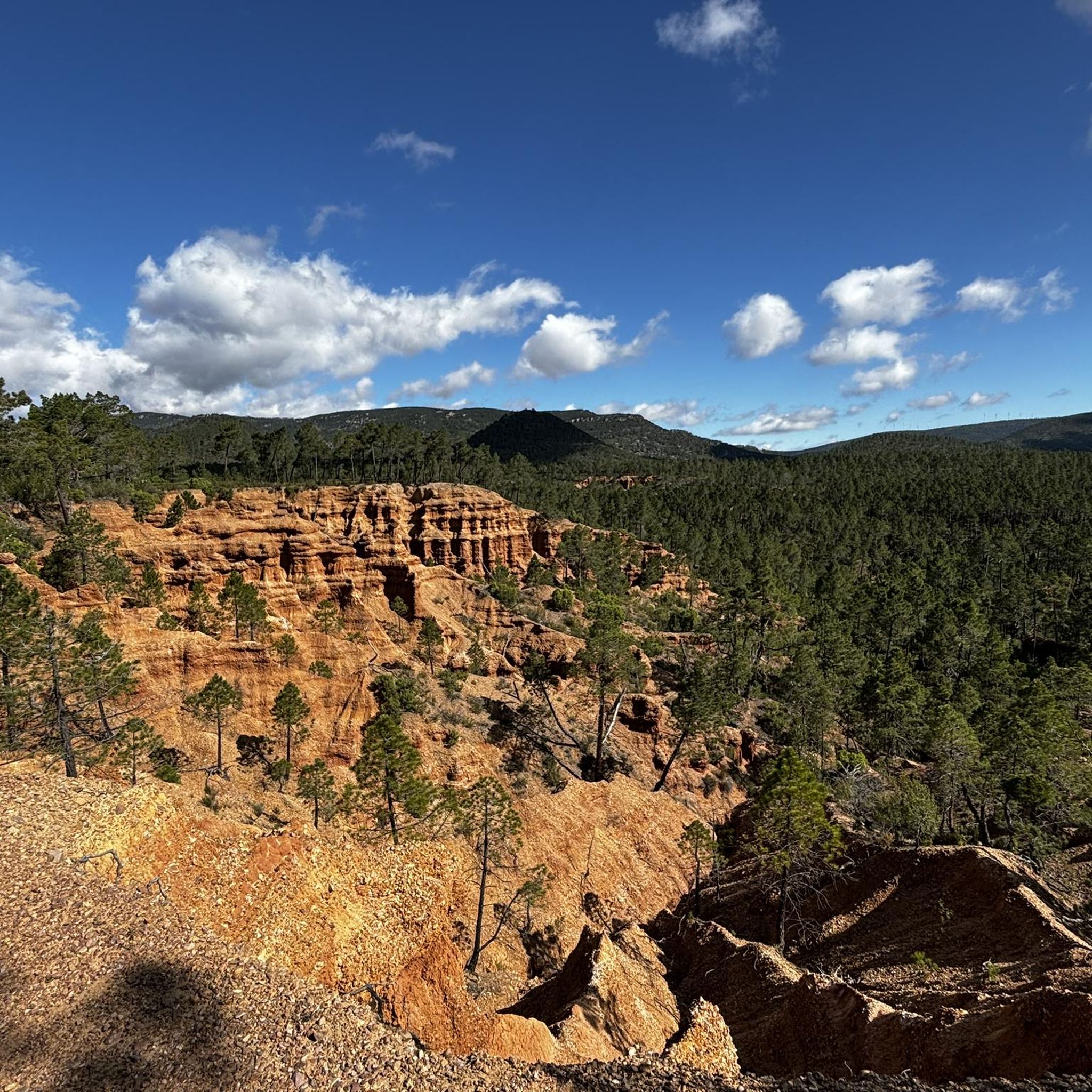
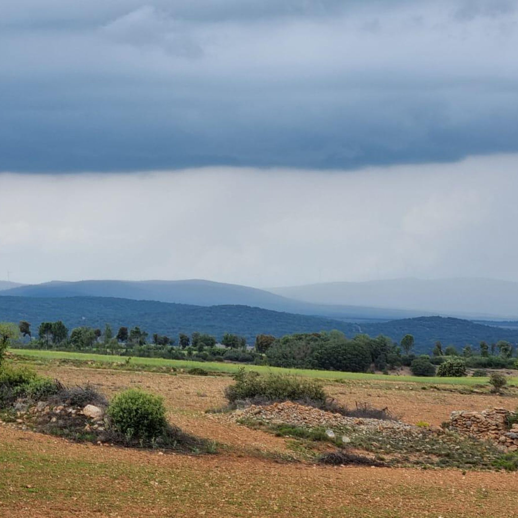
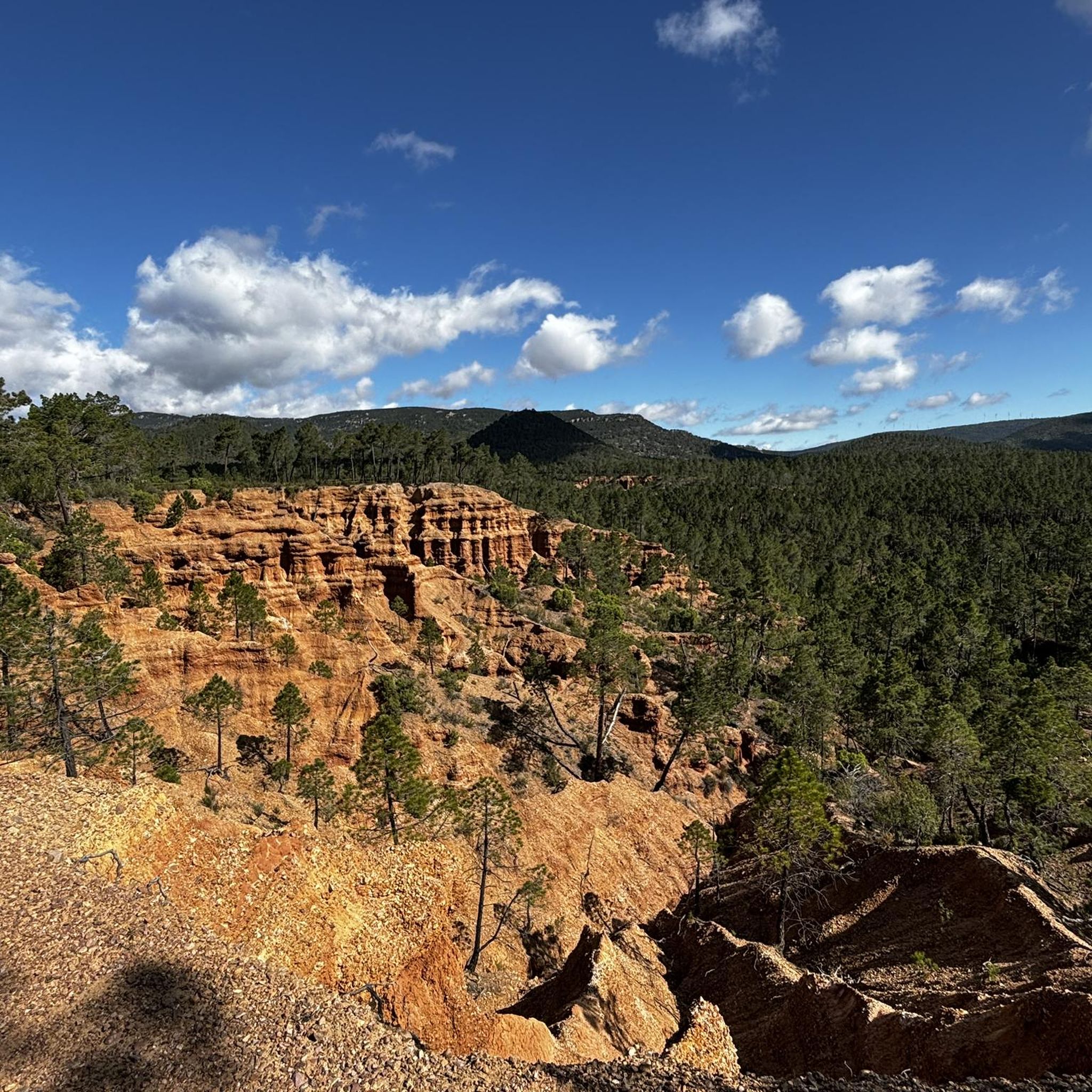
Hiking around Fuentelespino de Moya offers routes through a mountainous landscape in the Serranía Baja de Cuenca, Spain. The region is characterized by barrancos (ravines) and extensive pine forests, providing a rugged and picturesque environment. Situated at approximately 1,100 meters above sea level, the area features natural springs and river routes, contributing to diverse natural attractions.
Best hiking trails around Fuentelespino de Moya
- The most popular hiking route is Moya Trail, a 2.2 miles (3.6 km) trail that takes…
Last updated: October 1, 2026
3.59km
01:03
100m
100m
Easy hike. Great for any fitness level. Easily-accessible paths. Suitable for all skill levels.
2
hikers
6.05km
01:44
140m
140m
Easy hike. Great for any fitness level. Easily-accessible paths. Suitable for all skill levels.

2
hikers
5.41km
01:25
40m
40m
Easy hike. Great for any fitness level. Easily-accessible paths. Suitable for all skill levels.
2
hikers
10.5km
02:56
210m
200m
Moderate hike. Good fitness required. Easily-accessible paths. Suitable for all skill levels.
2
hikers
6.46km
01:50
140m
140m
Easy hike. Great for any fitness level. Easily-accessible paths. Suitable for all skill levels.
Our route recommendations are based on thousands of hikes, rides, and runs completed by other people on komoot.
Start today with a free account
Your next adventure awaits.

Tips from the Community

The town of Landete offers many services that make it the ideal place to start your route or take a break and have a delicious snack. The Plaza Mayor is very picturesque, the parish church and the town hall building stand out for their beauty and are usually the social center of the town.
1
1
It is one of the main archaeological sites of the medieval era, the ruins of the old town of Moya are worth visiting and it is a nice tour for the whole family. It dates from the 13th century and in its heyday it was the seat of the former Marquesado de Moya who occupied a vast area of land in the area.
3
0
Frequently Asked Questions
How many hiking trails are available in Fuentelespino de Moya?
You'll find a selection of 5 hiking routes around Fuentelespino de Moya on komoot, ranging from easy strolls to more challenging treks. These trails allow you to explore the diverse landscapes of the Serranía Baja de Cuenca.
What kind of landscapes and natural features can I expect to see while hiking here?
The region is characterized by its stunning mountainous relief, featuring deep barrancos (ravines) and extensive pine forests. You'll encounter tranquil forest areas, natural springs, and river routes. Many paths lead to small elevations offering broad panoramic views of the serrano territory, providing a serene and immersive natural experience.
Are there any easy or family-friendly hiking routes?
Yes, Fuentelespino de Moya offers 2 easy routes perfect for beginners or families. A great option is the Moya Trail, which is just over 3.5 km long and takes about an hour to complete, offering a gentle introduction to the area's beauty.
Are there any circular hiking routes in the area?
Absolutely! Many of the routes are designed as loops, allowing you to start and end in the same location. For example, the Old town of Moya loop from Moya is an easy 6 km circular trail, and the Dirt road to Moya loop from Moya offers a moderate 7.8 km option.
What historical sites or landmarks can I explore near the hiking trails?
Fuentelespino de Moya is rich in history. You can explore the ruins of the ancient Villa de Moya, a 13th-century historical site offering panoramic views, which is one of the most significant archaeological sites in the area. The Old Town of Moya is a must-see. You might also encounter other historical structures and traditional village architecture, including the Church of San Bartolomé.
What is the best time of year to go hiking in Fuentelespino de Moya?
The mountainous terrain and pine forests make Fuentelespino de Moya enjoyable for hiking across multiple seasons. Spring and autumn generally offer the most pleasant temperatures and vibrant natural colors. Summer can be warm, but the higher altitude and shaded forest paths provide some relief. Winters are serene, though some trails might require appropriate gear for colder conditions.
Are there any longer or more challenging hikes for experienced trekkers?
Yes, for those seeking a greater challenge, the region offers more demanding routes. The Cerro de la Tasonera loop from Moya is a difficult 26.8 km trail with significant elevation gain, perfect for experienced hikers looking for a full day's adventure.
Can I bring my dog on the hiking trails in Fuentelespino de Moya?
Generally, dogs are welcome on many trails in natural areas like Fuentelespino de Moya, especially given its rural and mountainous character. However, it's always advisable to keep your dog on a leash, especially in areas with wildlife or near livestock, and to check for any specific local regulations or protected areas that might have restrictions.
Is there public transport available to reach the hiking trailheads?
Fuentelespino de Moya is a rural municipality in the Serranía Baja de Cuenca. Public transport options might be limited. It's generally recommended to travel by car to access the trailheads, as this provides the most flexibility for exploring the various routes and nearby attractions.
Where can I find parking when visiting the hiking areas?
As a rural area, parking is typically available in or near the villages, such as Moya, which serves as a common starting point for several trails. Look for designated parking areas or suitable roadside spots, always ensuring you do not obstruct local access or private property.
Are there any viewpoints or panoramic spots along the trails?
Yes, the mountainous relief and small elevations throughout the region offer numerous opportunities for panoramic views. The ruins of the ancient Villa de Moya, for instance, provide breathtaking vistas of the surrounding serrano territory. Many trails are designed to showcase these scenic outlooks, allowing you to appreciate the vastness of the pine forests and ravines.
Most popular attractions around Fuentelespino De Moya

Get inspired with the komoot mobile app


Explore more
Browse the best Hikes in other regions.
