The best MTB trails around Fuentelespino De Moya
4.0
(1)
17
riders
13
rides
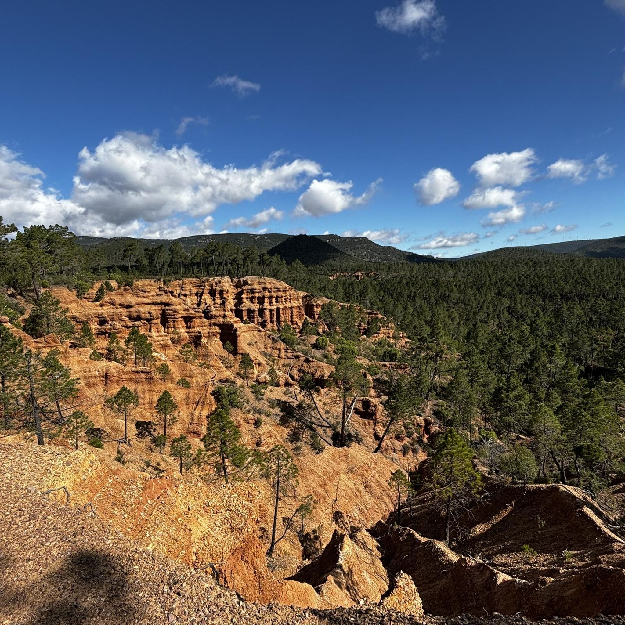
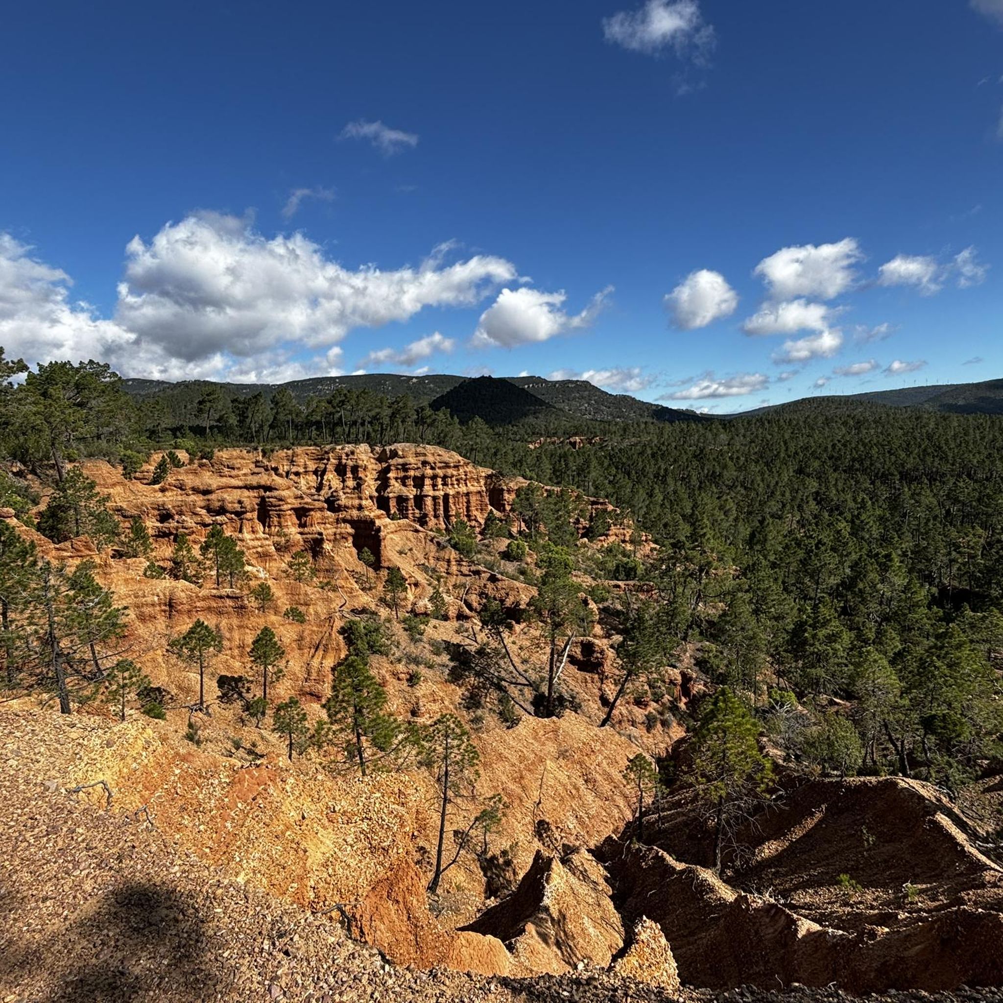
Mountain bike trails Fuentelespino de Moya are set within the rugged, natural landscapes of the Cuenca province in Spain. The region features mountainous terrain, characterized by hills and valleys, offering a suitable environment for outdoor exploration. This area provides a mix of natural scenery and varied topography, making it amenable to different mountain biking experiences.
Best mountain bike trails around Fuentelespino De Moya
- The most popular mountain bike trail is Moya Ruins Loop from Landete, an easy 11.5 miles…
Last updated: October 1, 2026
4.0
(1)
1
riders
18.5km
01:30
200m
200m
This easy 11.5-mile mountain biking route from Landete takes you to the historical Old villa of Moya, offering panoramic views.
38.3km
03:46
820m
820m
This difficult 23.8-mile mountain bike loop explores the Peña del Escrito Cave and Balbina Tower in Villar de Humo.

7
riders
49.1km
04:16
670m
680m
Moderate mountain bike ride. Good fitness required. Suitable for all skill levels.
3
riders
51.7km
03:33
650m
650m
Moderate mountain bike ride. Good fitness required. Suitable for all skill levels.
3
riders
52.8km
03:36
620m
620m
Moderate mountain bike ride. Good fitness required. Suitable for all skill levels.
Get access to more routes and recommendations from other explorers.
Already have an account?
Our route recommendations are based on thousands of hikes, rides, and runs completed by other people on komoot.
Start today with a free account
Your next adventure awaits.


Tips from the Community

The Balbina Tower is usually included as a final or intermediate stage in the routes that cover the Levantine and schematic rock art complex of Villar del Humo, declared a World Heritage Site by UNESCO.
1
0
Torre Balbina is a natural rock formation of red sandstone (rodeno) that stands out for its height and vertical silhouette, resembling a large stone tower sculpted by erosion over millions of years. Its height exceeds 25 meters. Its geological age is estimated at more than 230 million years. It is one of the symbols of the Villar del Humo Cultural Park, sharing importance with the rock shelters of Peña del Escrito, Marmalo, and Selva Pascuala.
1
0
La Peña del Escrito is a group of rock shelters located in the municipality of Villar del Humo (Cuenca), one of the most outstanding sites of Levantine Rock Art and Schematic Art on the Iberian Peninsula. It is situated in the heart of the Sierra de las Cuerdas mountain range and has been a UNESCO World Heritage Site since 1998 as part of the Rock Art of the Mediterranean Basin.
1
0
16th century Trinitarian Monastery transformed into a charming hotel that offers all the comforts.
6
0

Municipality that is mainly dominated by its castle that is located at the top of the hill that accompanies the mountain. The wall starts at the foot of the town and climbs up the mountain making the turn!
0
0
In the passage of the Río de los Ojos de Moya we find this beautiful town located at the foot of the valley created by the river and surrounded by mountains on both sides. One of the most characteristic parts is the Monastery of Tejeda which is located to the north of the same nucleus and which had been very important in past times.
0
0

The path offers wonderful views when approaching the road from where you can see the town of Moya and the castle that stands out among the ruins.
1
2
It is one of the main archaeological sites of the medieval era, the ruins of the old town of Moya are worth visiting and it is a nice tour for the whole family. It dates from the 13th century and in its heyday it was the seat of the former Marquesado de Moya who occupied a vast area of land in the area.
1
1
Frequently Asked Questions
How many mountain bike trails are available around Fuentelespino De Moya?
There are 5 mountain bike trails documented around Fuentelespino De Moya. These routes offer a variety of experiences across the region's natural scenery and mountainous terrain.
What is the general difficulty level of mountain biking in Fuentelespino De Moya?
The mountain bike trails around Fuentelespino De Moya cater to various skill levels. You'll find one easy route, three moderate routes, and one difficult route, offering options for different abilities.
Are there any easy mountain bike trails suitable for beginners or families?
Yes, for an easier ride, consider the Moya Ruins Loop from Landete. This 18.5 km (11.5 miles) trail is rated easy and takes approximately 1 hour 30 minutes to complete, exploring historical ruins and the surrounding natural environment.
What kind of terrain can I expect on the mountain bike trails in Fuentelespino De Moya?
The terrain around Fuentelespino De Moya is characterized by rugged, natural landscapes, including hills and valleys. You can expect varied topography, which provides a mix of riding experiences, from less challenging paths to routes with significant elevation changes.
Are there any mountain bike routes that pass by historical sites or landmarks?
Yes, several routes offer glimpses of historical sites. The Moya Ruins Loop from Landete explores historical ruins. Additionally, the Villar del Humo Rock Art and Balbina Tower Loop passes by ancient rock art and a historic tower, offering a cultural dimension to your ride.
What are some notable attractions or points of interest near the mountain bike trails?
While mountain biking, you can explore several interesting points. The Old Town of Moya and the Views of the old town of Moya are significant historical sites. You might also encounter the Monasterio de Tejeda, a religious building, or pass through the settlements of Landete and Algarra.
Are there any long-distance mountain bike routes for experienced riders?
For experienced riders seeking a longer challenge, the Santuario de Tejeda – Landete loop from Henarejos is a moderate 53.7 km (33.4 miles) trail. Another option is the Dirt road to Moya – Old Town of Moya loop from Fuentelespino de Moya, a moderate 44.2 km (27.5 miles) route.
What is the best time of year to go mountain biking in Fuentelespino De Moya?
The region of Cuenca, where Fuentelespino De Moya is located, generally offers suitable conditions for outdoor activities. Spring and autumn typically provide pleasant temperatures for mountain biking, avoiding the intense heat of summer and potential colder, wetter conditions in winter.
Are there any circular mountain bike routes in the area?
Yes, all the mountain bike routes listed for Fuentelespino De Moya are circular. Examples include the Moya Ruins Loop from Landete and the Villar del Humo Rock Art and Balbina Tower Loop, allowing you to start and finish at the same point.
What do other mountain bikers enjoy most about the trails in Fuentelespino De Moya?
The komoot community rates the mountain bike trails around Fuentelespino De Moya highly, with an average score of 4.0 stars. Reviewers often praise the natural scenery, rugged landscapes, and the variety of routes available for different skill levels.
Is there a particularly challenging mountain bike trail for advanced riders?
For those seeking a significant challenge, the Villar del Humo Rock Art and Balbina Tower Loop is rated as difficult. This 38.3 km (23.8 miles) route features substantial elevation changes, making it suitable for experienced mountain bikers.
Most popular attractions around Fuentelespino De Moya

Get inspired with the komoot mobile app


Explore more
Browse the best MTB trails in other regions.
