The best traffic-free bike rides in Pike And San Isabel National Forests
4.2
(17)
441
riders
42
rides
Gravel biking in Pike And San Isabel National Forests offers access to nearly three million acres of diverse landscapes across central Colorado. The region is characterized by extensive forest roads, high-altitude mountain passes, and varied ecosystems, with elevations ranging from 7,500 feet to over 14,000 feet. Majestic mountain peaks, including several "fourteeners," define the terrain, providing a range of experiences for gravel bikers. These forests feature a network of trails suitable for various skill levels.
Best no traffic gravel bike…
Last updated: August 17, 2026
22
riders
37.1km
03:19
610m
610m
Hard gravel ride. Very good fitness required. You may need to push your bike for some segments of this route.
5.0
(1)
16
riders
Hard gravel ride. Very good fitness required. You may need to push your bike for some segments of this route.

Sign up for free
3.0
(1)
10
riders
52.1km
04:25
950m
950m
Hard gravel ride. Very good fitness required. You may need to push your bike for some segments of this route.
20
riders
32.8km
03:02
790m
790m
Hard gravel ride. Very good fitness required. Mostly paved surfaces. Suitable for all skill levels.
11
riders
Hard gravel ride. Very good fitness required. Mostly paved surfaces. Suitable for all skill levels.
Get access to more routes and recommendations from other explorers.
Sign up for free
Already have an account?
Our route recommendations are based on thousands of hikes, rides, and runs completed by other people on komoot.
Start today with a free account
Your next adventure awaits.
Login or Signup
Popular around Pike And San Isabel National Forests

The Colorado Trail — Ten incredible days in the Rocky Mountains

Colorado Trail — The pinnacle of wild Colorado

Mountain bike paradise around Salida in Colorado

Unforgettable MTB Adventures – IMBA Epic Trails in USA and Canada
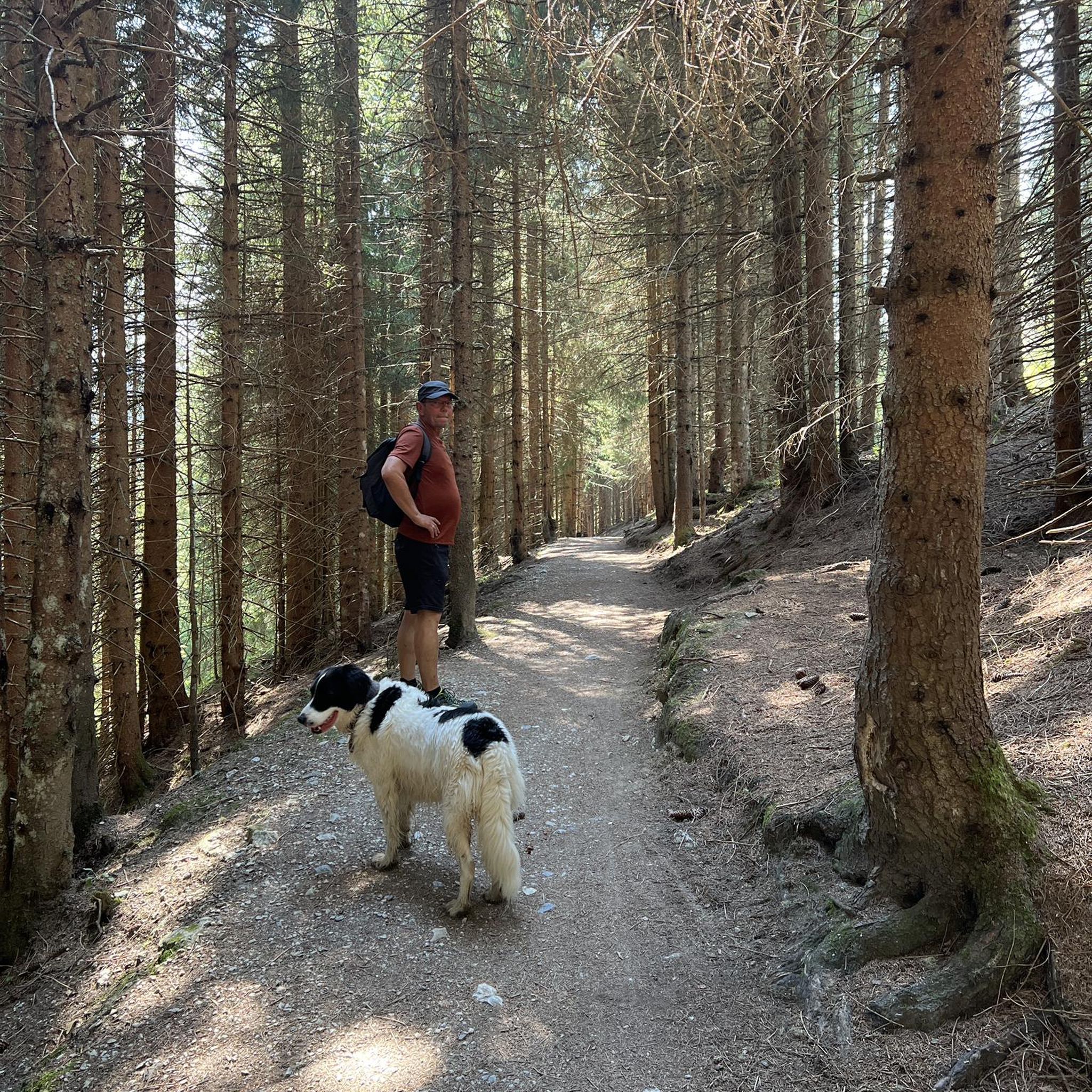
Traffic-free bike rides in Pike And San Isabel National Forests

Traffic-free bike rides in Pike And San Isabel National Forests
Other adventures in Pike And San Isabel National Forests


Tips from the Community

Here you can find peace and relaxation in a beautiful landscape that always reminds me of the ochre cliffs of Roussillon in France.
1
0
Giants that have withstood the test of time and erosion. We call it a Zeugenberg.
1
0

The wide meadow on the eastern side of the Ute Trail Cameron Mtn Watershed Divide is a gradual section of the gravel forest road, with several seasonal and some permanent springs flowing toward Willow Creek. There are some convenient dispersed camping options along the edges of the meadow.
2
0
The summit of Calumet Mountain at 2956 m {about 9000 feet) rises to the west of Ute trail -here viewed across the west flank of the Continental divide, with higher snowcapped ranges in the distance
1
0
Large open meadow on the East side below this highpoint of Ute Trail, forming the gentle headwaters of Willow Creek. There are some good dispersed camp spots in respectful distance of the water and the forest road.
1
0
Once roaming wild by the millions, almost hunted to extinction, bison are now raised by some ranchers for specialty meat.
1
0
State Trust Land with Hunting and Fishing Access on more than 900,000 acres of land leased to Colorado Parks and Wildlife (CPW) for seasonal public hunting and fishing opportunities. Most properties are open seasonally for hunting and fishing ONLY, unless specifically authorized for wildlife viewing. STLs are typically open from Sept. 1 through the end of February, unless noted otherwise and are closed to public access all other times of the year. A valid hunting or fishing license is required to access State Trust Lands in this program, and unauthorized use or activity on these lands may be subject to enforcement from CPW or local authorities. From Hartsel, go 1.75 miles S on Hwy. 9 to CR 53. Go S for 15 miles to parking area on E boundary, S of CR 53.
2
0
Sweeping views across open prairie to the snow-capped Rocky Mountains
1
0
Frequently Asked Questions
How many no-traffic gravel bike trails are available in Pike And San Isabel National Forests?
There are nearly 40 dedicated no-traffic gravel bike trails in Pike And San Isabel National Forests. These routes range from easy to difficult, offering diverse experiences across the region's varied landscapes.
What kind of terrain can I expect on gravel bike trails in Pike And San Isabel National Forests?
The terrain varies significantly, from high-altitude routes along the Continental Divide to lower elevation paths winding through diverse ecosystems. You'll encounter extensive forest roads, high-alpine scenery, and challenging mountain passes. Elevations range from 7,500 feet to over 14,000 feet, so be prepared for significant climbs and descents.
Are there any family-friendly no-traffic gravel trails in the Pike And San Isabel National Forests?
Yes, while many routes are challenging, there are options suitable for families. For example, the historic Gold Camp Road offers a mix of gravel surfaces and panoramic views, generally suitable for various skill levels. Always check the specific route details for distance and elevation to ensure it matches your family's abilities.
What are some notable natural features or landmarks I might see while gravel biking?
The forests are rich with natural beauty. You might encounter majestic mountain peaks like Pikes Peak or Mount Elbert, unique rock formations such as the Siamese Twins, and picturesque rivers and lakes like the Arkansas River, Twin Lakes, and Turquoise Lake. Some routes also pass by stunning waterfalls like Helen Hunt Falls or Agnes Vaille Falls.
What is the best season for gravel biking in Pike And San Isabel National Forests?
The best time to visit is generally from late spring through early fall, when most trails are free of snow and weather conditions are more favorable. High-altitude routes may remain snow-covered into early summer. Always check local weather and trail conditions before heading out, especially for higher passes.
Are there any loop gravel bike trails in the region?
Yes, many routes are designed as loops, allowing you to start and end at the same point. An example is the challenging Calumet Valley Overlook – Calumet Mountain Overlook loop from Austin Trail (Railroad Gulch) Trailhead, which covers over 111 km. Another option is the Boreas Pass Gravel – Boreas Pass loop from Gold Dust Trailhead, offering a significant climb through scenic landscapes.
What do other gravel bikers enjoy most about the trails here?
The komoot community rates the gravel biking experience in Pike And San Isabel National Forests highly, with an average score of 4.5 stars. Reviewers often praise the extensive network of quiet forest roads, the breathtaking mountain views, and the sense of solitude found on these no-traffic routes. The diverse terrain and challenging climbs are also frequently highlighted.
Can I bring my dog on these gravel bike trails?
Many trails within the Pike And San Isabel National Forests are dog-friendly, but regulations can vary by specific area or trail. It's always best to check the local rules for the particular trail you plan to ride. Generally, dogs should be kept on a leash and all waste should be packed out.
Are there any easy or beginner-friendly no-traffic gravel bike trails?
Yes, out of the nearly 40 routes, 7 are classified as easy. These routes offer a gentler introduction to gravel biking in the region. For example, the Start of the Colorado Trail – View from Chatfield Dam loop from Kassler trailhead is a moderate option that can be a good starting point for those looking for less intense elevation gains.
What kind of wildlife might I encounter while gravel biking?
The forests are home to diverse wildlife. You might spot black bears, mountain lions, elk, mule deer, lynx, golden eagles, and peregrine falcons. Remember to maintain a safe distance and never feed wild animals.
Are there any historical sites along the gravel routes?
Yes, the region has a rich history, particularly from its mining past. You can explore remnants of old mining towns and heritage sites, especially along routes like the historic Gold Camp Road, which was once an abandoned railway. These sites offer a glimpse into Colorado's past amidst stunning natural scenery.
Most popular routes in Pike And San Isabel National Forests
Most popular attractions in Pike And San Isabel National Forests

Get inspired with the komoot mobile app


Explore more
Browse the best Gravel rides in other regions.
