The best walks and hikes in Pike And San Isabel National Forests
4.7
(912)
27,017
hikers
459
hikes
Hiking in Pike And San Isabel National Forests offers access to nearly 3 million acres of diverse landscapes across central Colorado. The region is characterized by majestic mountain peaks, including 23 fourteeners, and varied ecosystems ranging from grasslands to alpine zones, dense forests, and river valleys. Hikers can explore glacial formations, picturesque lakes, and unique rock formations. This extensive area provides a wide array of terrain for outdoor activities.
Best hiking trails in Pike And San Isabel National Forests
- The most popular hiking route is Mount Buckhorn via Gold Camp, 622, Jones Park, and Captain Jacks Loop, an 11.7 miles (18.8 km) trail that takes 6 hours 21 minutes to complete. This difficult route offers challenging climbs through varied terrain.
- Another top favourite among local hikers is Raspberry Mountain Loop, a moderate 5.2 miles (8.4 km) path. This trail features significant elevation gain and views of the surrounding mountainous landscape.
- Local hikers also love the Siamese Twins Trail, a 0.5 miles (0.9 km) trail leading through unique rock formations, often completed in about 15 minutes.
- Hiking in Pike And San Isabel National Forests is defined by majestic mountain peaks, diverse forests, and river valleys, with options for easy day hikes to strenuous multi-day backpacking trips.
- The routes in Pike And San Isabel National Forests are highly rated by the komoot community with an average score of 4.7 stars from over 800 reviews. More than 24,000 hikers have used komoot to explore Pike And San Isabel National Forests's varied terrain.
Last updated: October 11, 2026
4.8
(6)
78
hikers
18.8km
06:22
970m
690m
Embark on the Mount Buckhorn via Gold Camp, 622, Jones Park, and Captain Jacks Loop for a challenging hiking adventure. This difficult route spans 11.7 miles (18.8 km) and demands a significant 3192 feet (973 metres) of elevation gain, typically taking around 6 hours and 21 minutes to complete. As you traverse the trail, you will experience a diverse landscape, winding through dense coniferous forests, vibrant aspen groves, and expansive high mountain meadows. Reaching Captain Jack's Peak rewards you with sweeping vistas of Colorado's varied terrain, including lush woodlands, rugged peaks, and vast plains.
When planning your visit, be aware that this is a multi-use trail system, so you may encounter mountain bikers, equestrians, and even some motorcycles. The route includes sections with steep climbs and areas of loose gravel, making sturdy, grippy shoes essential for your safety and comfort. Parking is generally available at the trailheads that provide access to North Cheyenne Cañon Park, where this loop is located.
Beyond the physical challenge, this loop offers a rich blend of natural beauty and historical interest. The Gold Camp Road section of the trail adds a unique historical dimension with its old railroad grade and distinctive rock formations. From various points along the route, you can catch glimpses of other notable landmarks like Red Rock Canyon Park and the Garden of the Gods, adding to the scenic rewards of this comprehensive mountain journey.
5.0
(2)
32
hikers
8.37km
02:52
430m
400m
The Raspberry Mountain Loop provides a rewarding hike through varied terrain, from winding switchbacks to open meadows filled with aspen and pine trees. This moderate route covers 5.2 miles (8.4 km) and involves a significant elevation gain of 1416 feet (432 metres), typically taking about 2 hours and 52 minutes to complete. The true highlight is reaching the summit, where you are treated to sweeping 360-degree panoramic views, including Pikes Peak to the east and the distant Sangre de Cristo and Sawatch mountain ranges to the west.
When planning your visit, remember that the trail's high elevation, over 10,600 feet, can be challenging if you are not acclimated to it. Parking is usually available right at the trailhead, offering convenient access. If you choose to hike in winter, be prepared for packed snow and icy patches along the path, which require appropriate gear and caution. Always check current conditions before heading out.
This trail offers a distinct sense of solitude, setting it apart from more frequently visited peaks in the region. Beyond the stunning vistas, you might also encounter diverse wildlife, such as marmots or deer, especially during quieter times. In warmer seasons, the meadows burst with abundant wildflowers, adding another layer of natural beauty to your experience on Raspberry Mountain.

5.0
(3)
29
hikers
7.45km
02:13
240m
90m
Embark on the Shaft House via Goose Creek Trail, a moderate hiking route spanning 4.6 miles (7.5 km) with an elevation gain of 803 feet (245 metres). You can expect to complete this journey in about 2 hours and 13 minutes, navigating through a landscape rich with unique red granite rock formations and towering boulders. As you follow Goose Creek, you will encounter lush forests and picturesque spots, making for a rewarding outdoor experience.
Before you head out, be aware that the road leading to the trailhead can be quite washboarded, so prepare for a bumpy drive. Self-issue permits are required at the trailhead, so make sure to pick one up before you begin your hike. While the trail is generally accessible, some sections can be steep, so wear appropriate footwear and be ready for varied terrain.
This route offers a fascinating blend of natural beauty and historical intrigue within the Lost Creek Wilderness. The trail leads you to the historic Shaft House, a notable landmark, and also highlights the intriguing point where Lost Creek re-emerges as Goose Creek. Keep an eye out for Harmonica Arch and consider the fishing and wading opportunities along Goose Creek as you explore this distinctive area.
25
hikers
39.9km
11:48
1,080m
1,260m
Embark on Colorado Trail: Segment 8, a difficult 24.8 miles (39.9 km) hike that takes you through diverse terrain and expansive high-alpine scenery. You will gain 3528 feet (1075 metres) of elevation, requiring an estimated 11 hours and 47 minutes to complete. Expect breathtaking views of the Holy Cross Ridgeline and the majestic Mount of the Holy Cross, especially as you ascend to higher elevations. The route also winds through vibrant alpine tundra, showcasing wildflowers between Searle and Kokomo Passes, with additional vistas of peaks like Jacque Ridge and Sugarloaf Peak.
When planning your visit, be prepared for potential thunderstorms, particularly due to the high-elevation exposure between Searle Pass and Kokomo Pass. It is crucial to check weather forecasts before you start your hike. Be aware that camping is prohibited in certain sections around Camp Hale, so plan your overnight stops accordingly. You might also share parts of the trail with mountain bikers, so stay alert and share the path respectfully.
This segment of the Colorado Trail traverses the stunning White River National Forest, offering a true wilderness experience. The restrictions on camping near Camp Hale are due to its historical significance as a former World War II training site, where unexploded munitions may still be present. This unique historical context adds another layer to your journey, reminding you of the area's past while you enjoy its natural beauty.
5.0
(1)
29
hikers
872m
00:15
20m
30m
The Siamese Twins Trail offers a quick, easy hike through the striking red sandstone landscape of Garden of the Gods. As you follow the path, you will find yourself surrounded by towering rock formations and scattered green pines, creating a unique desert atmosphere. The route is an easy 0.5 miles (0.9 km) long, with a gentle elevation gain of just 79 feet (24 metres), making it perfect for a leisurely 15-minute stroll. The highlight is undoubtedly the Siamese Twins formation itself, where a natural arch perfectly frames distant Pikes Peak, providing an iconic photo opportunity. This short loop delivers big views without much effort.
When planning your visit, consider arriving in the early morning to avoid the busiest times, as this is one of the park's more popular routes. The trail is generally family-friendly and you can bring your dog along, provided it stays on a leash. While the path is mostly hard-packed dirt, be aware that you might encounter some sandy stretches and gravelly scree, which can be uneven underfoot. No special permits or fees are required to enjoy this accessible trail.
This trail is notable for its unique geological features within the Garden of the Gods Park, a designated National Natural Landmark. The Siamese Twins formation, with its natural arch, is a prime example of the park's dramatic erosion patterns over millions of years. It offers a distinct perspective on the region's natural beauty, showcasing the interplay of rock and sky. The trail provides a memorable, short outdoor experience that highlights the park's iconic scenery.
Get access to more routes and recommendations from other explorers.
Already have an account?
Our route recommendations are based on thousands of hikes, rides, and runs completed by other people on komoot.
Start today with a free account
Your next adventure awaits.
Popular around Pike And San Isabel National Forests

Colorado Trail — The pinnacle of wild Colorado

The Colorado Trail — Ten incredible days in the Rocky Mountains

Mountain bike paradise around Salida in Colorado

Unforgettable MTB Adventures – IMBA Epic Trails in USA and Canada
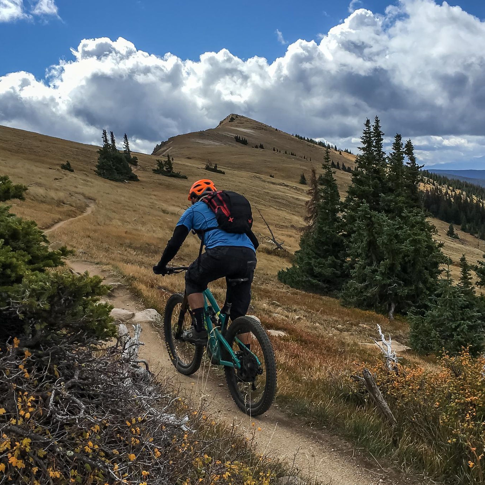
MTB Trails in Pike And San Isabel National Forests
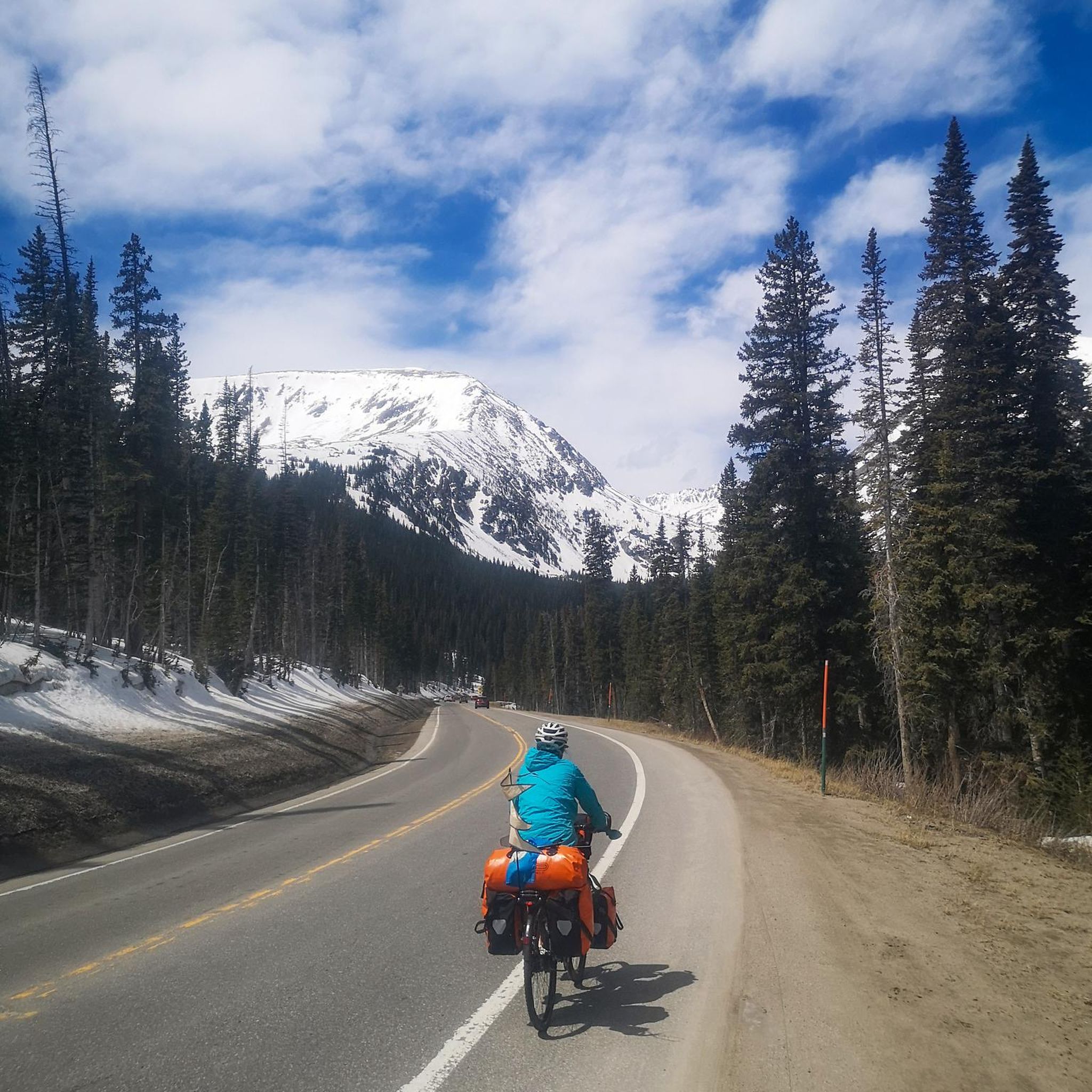
Cycling in Pike And San Isabel National Forests
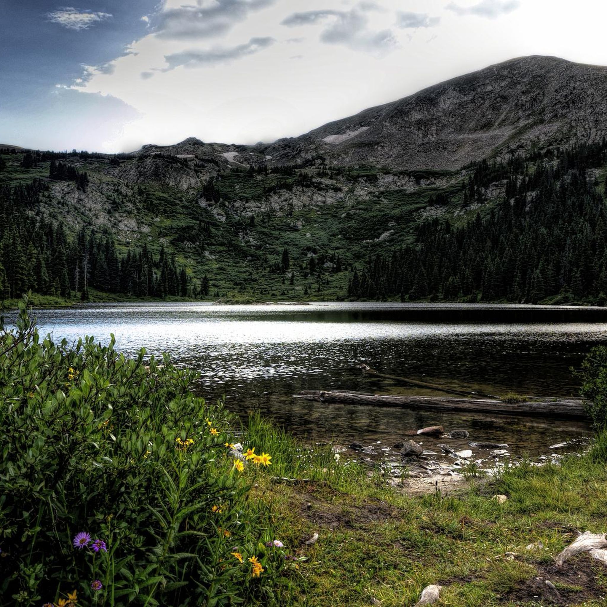
Running Trails in Pike And San Isabel National Forests
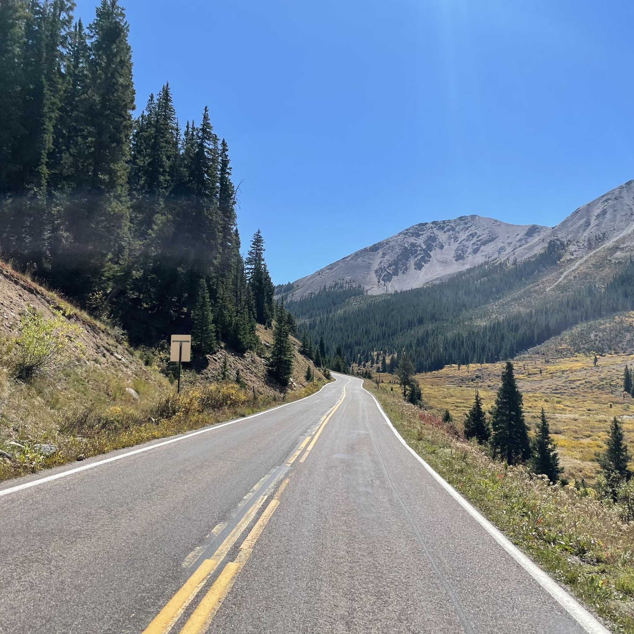
Road Cycling Routes in Pike And San Isabel National Forests
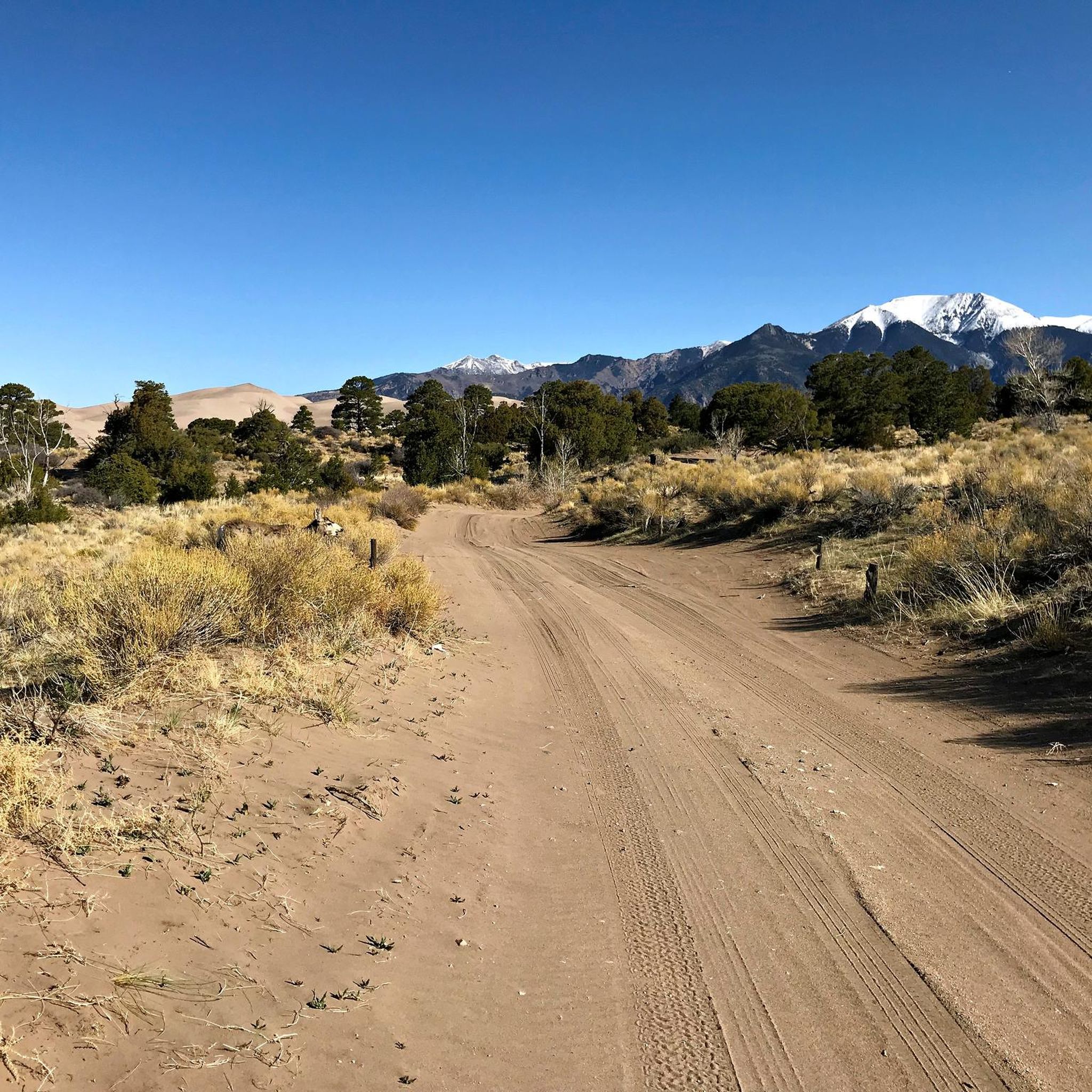
Gravel biking in Pike And San Isabel National Forests
Other adventures in Pike And San Isabel National Forests


Tips from the Community

A huge memorial and an information board commemorates the 10th Mountain Division right at Tennessee Pass. It honors the 990 men who gave their lives on the WWII battlefields of Italy and the Aleutian Islands.
1
0
At this point, the Colorado Trail/ Continental Divide Trail meets with the Treeline Loop Ski Trail. There is a nice protected spot to pitch your tent pretty close to Tennessee Pass.
2
0
These coke ovens are similar to the famous charcoal kilns in Death Valley, but not in such a good shape anymore. Coke ovens were used to convert the coal mined in the local area into industrial coke, a relatively clean-burning fuel used in the smelting of iron ore. In a process known as “coking,” coal was shoveled into an insolated beehive-shaped and ignited.
2
0

The best view is from above, not from below!
0
0
At this location, the CDT/ Colorado Trail crosses Highway 24 (aka Tenth Mountain Division Memorial Highway) and is therefore a good access point to get on or off the trail. It can also serve as an access point into Leadville, although the more common one is further south at Tennessee Pass.
4
0
The East Fork Eagle River is a great place to fill up your bottles, take a break and investigate the nearby ruins of former Camp Hale. If you would like to camp here, there are some campsites nestled into the trees just before the upcoming climb to the south.
3
0
These ruins are highly likely part of the remains of Camp Hale, former training grounds for the US Army's Tenth Mountain Division during Word War II. The concrete structure sits just next to Eagle River. You can enter the structure, but I would not recommend camping in there as rodents have moved in.
3
0

Here you cross the Colorado Trail and CDT. The Colorado Trail runs all the way from Durango to Denver. The CDT follows the Continental Divide over 3,100 miles from Mexico to Canada, overlapping the former.
0
0
Frequently Asked Questions
How many hiking trails are in the Pike and San Isabel National Forests?
There are over 300 hiking trails to explore across the Pike and San Isabel National Forests. The network includes a wide variety of options, with roughly 55 easy trails, 120 moderate routes, and over 120 difficult trails for experienced hikers.
Are there easy, family-friendly hikes available?
Yes, there are many options suitable for families and casual walkers. Look for trails in areas like Manitou Park and Rampart Reservoir, which offer gentler terrain and shorter distances. Many paths follow creek beds or lead to scenic picnic spots, making for a perfect day out.
Can I bring my dog on the trails?
Generally, dogs are welcome on trails within the Pike and San Isabel National Forests, but they must be kept on a leash no longer than 6 feet at all times. It's important to be aware that you are in wildlife habitat, so keeping your dog under control is crucial for their safety and the protection of local animals. Always pack out any waste.
How should I prepare for a high-altitude hike in this region?
Acclimatization is key. If possible, spend a day or two in the area at a moderate elevation (like Colorado Springs or Salida) before attempting a high-altitude trail. On the day of your hike, start early, drink more water than you think you need, and eat salty snacks. Pay close attention to symptoms of altitude sickness, such as headache or nausea, and be prepared to turn back if they appear.
What kind of scenery can I expect on the trails?
The scenery is incredibly diverse. You can hike through dense forests of ponderosa pine and aspen, follow trails alongside rushing creeks, and ascend above the treeline for panoramic views of the Rocky Mountains. The forests are home to iconic peaks, alpine lakes, and unique geological formations.
Are there any good backpacking loops?
Yes, the forests are a premier destination for backpacking. The Lost Creek Wilderness area is particularly popular for its challenging multi-day loops through remote and rugged landscapes. Portions of the long-distance Colorado Trail and the Continental Divide National Scenic Trail also pass through the forests, offering world-class backpacking opportunities.
What are some hikes with great scenic viewpoints?
For incredible panoramic views, the trail to Devil's Head Lookout is a fantastic choice, leading to Colorado's last active fire tower. Another great option for summit views without extreme difficulty is the hike to Mount Lincoln — Pike National Forest, which rewards you with stunning vistas from over 14,000 feet.
When is the best time of year to hike here?
The primary hiking season is from late May to October. Summer (July and August) offers the warmest weather and beautiful wildflowers, but be prepared for afternoon thunderstorms, especially at high elevations. September is often considered ideal, with cooler temperatures, fewer crowds, and stunning golden aspen foliage.
Are there any trails that follow creeks or rivers?
Many trails follow waterways, offering a peaceful hiking experience. The San Isabel Creek Trail is a beautiful example, following the creek through a valley of aspens and cottonwoods. These creek-side trails are often less strenuous and are great for spotting wildflowers in the summer.
What do other hikers enjoy most about this area?
The region is highly regarded by the komoot community. Hikers frequently praise the sheer variety of the trails, from the challenge of summiting 14,000-foot peaks to the tranquility of forested valley walks. The stunning high-alpine scenery and the vastness of the wilderness are consistently highlighted as major draws.
Do I need a 4x4 to access the trailheads?
It varies. Many popular trailheads, especially those near towns like Colorado Springs or Leadville, are accessible with a standard passenger car. However, more remote trailheads, particularly those leading into wilderness areas or up rough forest service roads, may require a high-clearance or 4x4 vehicle. Always check the specific access conditions for your planned hike beforehand.
Most popular routes in Pike And San Isabel National Forests
Most popular attractions in Pike And San Isabel National Forests

Get inspired with the komoot mobile app


Explore more
Browse the best Hikes in other regions.
