The best traffic-free bike rides in Inyo National Forest
5.0
(6)
970
riders
16
rides
Road cycling in Inyo National Forest offers diverse terrain across high desert and alpine environments in the Eastern Sierra Nevada. The region is characterized by towering peaks, including Mount Whitney, vast valleys like Owens Valley, and numerous alpine lakes. Cyclists can navigate paved roads through pine forests, past volcanic formations, and alongside ancient Bristlecone Pine groves. This landscape provides a variety of no traffic road cycling routes, from gentle valley rides to challenging mountain ascents.
Best no traffic road cycling…
Last updated: August 3, 2026
5.0
(1)
24
riders
38.9km
02:54
1,440m
1,440m
Prepare for a challenging road cycling experience on the Whitney Portal route, a difficult 24.2 miles (38.9 km) climb that takes about 2 hours and 53 minutes. As you ascend,…
23
riders
70.6km
04:56
2,070m
2,070m
Prepare for a demanding road cycling adventure on the Horseshoe Meadows route, a difficult climb spanning 43.9 miles (70.6 km). As you pedal, you will gain an impressive 6804 feet…

Sign up for free
10
riders
26.0km
01:12
80m
80m
The Warm Springs loop offers a delightful 16.2-mile (26.0 km) road cycling route near Bishop, providing an easy ride with stunning vistas. You'll pedal through expansive farmlands and open high…
2
riders
27.3km
02:03
620m
620m
This road cycling route from Mammoth Mountain to Devil's Postpile National Monument via Minaret Road offers a journey through some of the Sierra Nevada's most dramatic landscapes. You'll climb through…
5.0
(1)
110
riders
29.6km
01:33
460m
460m
Moderate road ride. Good fitness required. Mostly well-paved surfaces and easy to ride.
Get access to more routes and recommendations from other explorers.
Sign up for free
Already have an account?
Our route recommendations are based on thousands of hikes, rides, and runs completed by other people on komoot.
Start today with a free account
Your next adventure awaits.
Login or Signup
Popular around Inyo National Forest

John Muir Trail – Along the legendary trail through the magical Sierra Nevada

The Sierra High Route — Solitude in California's alpine country

Pacific Crest Trail from Mexico to Canada – 4,200 kilometres of wilderness
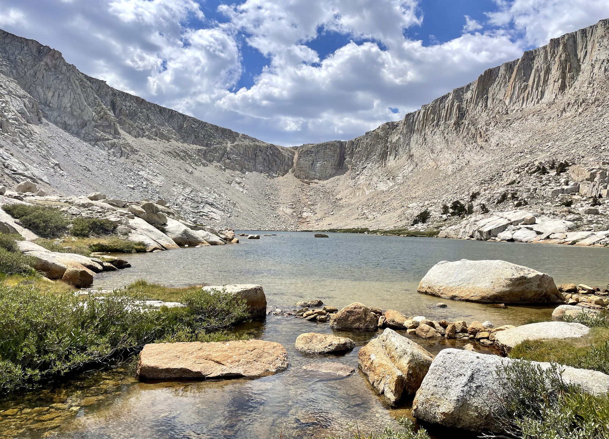
Cottonwood Lakes Loop — Exploring the Golden Trout Wilderness

Traffic-free bike rides in Inyo National Forest

Traffic-free bike rides in Inyo National Forest
Other adventures in Inyo National Forest


Tips from the Community

There is a campground here at around 10,000 feet and numerous hiking trails that radiate outward to explore this absolutely breathtaking valley. If you cycled up into the valley via the switchbacks, then kick back and enjoy the views. Congratulations on making it up one of the most difficult and rewarding climbs in the U.S.!
0
0

Lone Pine, California, is a small town nestled at the base of the Sierras. The main street is lined with locally-owned shops, cozy cafes, and restaurants, making it a great place to start or end an outdoor adventure. Lone Pine truly is a gateway to adventure; the nearby Alabama Hills, famous for their unique rock formations and movie history, offer excellent hiking, mountain biking, rock climbing, and photography opportunities, and Mount Whitney, the highest peak in the contiguous United States, attracts hikers from around the world. Owens River also provides fishing, kayaking, and bird-watching activities. The town's proximity to Death Valley National Park also makes it an ideal base for exploring the park's dramatic landscapes.
0
0

Twin Falls connects Twin Lakes and Mamie Lake. This small stretch of river cascades down the rocks, flowing through a small patch of forest. It can be viewed from the trail or the road, and if you venture a little further up, you’ll also get a view of Twin Lakes.
0
0
Lake Mary is nestled in front of a red basalt cliff and surrounded by forest, creating a scenic setting. In the winter, the area is blanketed in snow, making it ideal for cross-country skiing.
1
0

Great mountain lake that invites you to swim and is ideal for a short walk.
0
0
Lone Pine, California, is a small town nestled at the base of the Sierras. The main street is lined with locally-owned shops, cozy cafes, and restaurants, making it a great place to start or end an outdoor adventure. Lone Pine truly is a gateway to adventure; the nearby Alabama Hills, famous for their unique rock formations and movie history, offer excellent hiking, mountain biking, rock climbing, and photography opportunities, and Mount Whitney, the highest peak in the contiguous United States, attracts hikers from around the world. Owens River also provides fishing, kayaking, and bird-watching activities. The town's proximity to Death Valley National Park also makes it an ideal base for exploring the park's dramatic landscapes.
0
0

Twin Lakes, as its name suggests, is a park comprised of a set of connected lakes to the southeast of Mammoth Mountain. Eruptions of Mammoth Mountain caused the formation of lava cliffs on one side of the lakes. The other side has a campground and ski lodge.
0
0
Lake Mary is the largest lake of the over one hundred lakes that comprise the Mammoth Lakes area. The lake has a campground to the northeast and two marinas offering boat and kayak rentals.
0
0
Frequently Asked Questions
How many no-traffic road cycling routes are available in Inyo National Forest?
Inyo National Forest offers a wide selection of road cycling routes designed to minimize traffic exposure. Our guide features 17 such routes, ranging from easy to difficult, ensuring options for various skill levels.
What kind of terrain can I expect on no-traffic road cycling routes in Inyo National Forest?
You'll find diverse terrain, from flat valley rides in areas like the Owens Valley to challenging mountain ascents with significant elevation gain. The landscape shifts from high desert to pine forests, offering stunning views of towering peaks like Mount Whitney and pristine alpine lakes. Many routes provide wide-open vistas and clean air, characteristic of the Eastern Sierra.
What is the best time of year for no-traffic road cycling in Inyo National Forest?
The best time for road cycling in Inyo National Forest is generally from late spring through early fall. Many higher elevation roads, including scenic passes, are subject to seasonal closures due to snow, typically reopening in late May or early June. Always check local conditions before planning your ride, especially for routes at higher altitudes.
Are there any long-distance, traffic-free road cycling routes in Inyo National Forest?
Yes, for those seeking longer rides with minimal traffic, routes like Horseshoe Meadows offer substantial distances and elevation gains. This route covers over 70 km (43 miles) and provides a challenging, rewarding experience through scenic landscapes.
Are there any loop routes for traffic-free road cycling in Inyo National Forest?
Absolutely. Loop routes are popular for experiencing varied scenery without retracing your path. The Warm Springs loop is a great example, offering a gentler 26 km (16 miles) ride with minimal elevation gain and marvelous views of the White Mountains. Another option is the Horseshoe Lake – Lake Mary loop from Mammoth Lakes, which provides a moderate ride through alpine lakes.
Are there easy, beginner-friendly no-traffic road cycling routes in Inyo National Forest?
Yes, Inyo National Forest offers several easy routes suitable for beginners or those looking for a relaxed ride. The Warm Springs loop is an excellent choice, featuring minimal elevation gain over its 26 km (16 miles), making it perfect for an enjoyable, traffic-free experience.
What are some challenging, advanced traffic-free road cycling routes in Inyo National Forest?
For experienced cyclists seeking a challenge, routes like Whitney Portal and Horseshoe Meadows offer significant elevation gains and demanding climbs. These routes provide an intense workout amidst some of the most breathtaking mountain scenery in the region.
Are the no-traffic road cycling routes in Inyo National Forest suitable for families?
Many areas within Inyo National Forest offer family-friendly cycling options, particularly on designated paths or quieter roads. Routes with minimal elevation gain and away from heavy traffic, such as portions of the Warm Springs area near Bishop or the Benton Crossing Road near Mammoth Lakes, are often suitable for families. Always check the specific route details for difficulty and terrain before heading out.
What can I see along the no-traffic road cycling routes in Inyo National Forest?
Beyond the stunning mountain vistas, you can encounter unique natural features. Keep an eye out for geological formations like the Earthquake Fault or the picturesque Twin Lakes. The region is also home to ancient forests and volcanic formations, offering diverse points of interest.
Where can I find parking for these quiet road cycling routes?
Parking availability varies by trailhead and route. Popular cycling hubs like Bishop and Mammoth Lakes offer various parking options, often near the start of well-known routes. For specific routes, it's advisable to check the route details on komoot or local visitor information centers for designated parking areas to ensure a smooth start to your ride.
Are there cafes, pubs, or accommodation options near the traffic-free road cycling routes?
Yes, towns like Bishop, Mammoth Lakes, and June Lake serve as excellent basecamps for cyclists. These communities offer a range of amenities including cafes, restaurants, pubs, and various accommodation options from hotels to campgrounds. They are strategically located to provide easy access to many of the region's best cycling routes.
What do other road cyclists enjoy most about road cycling in Inyo National Forest?
The Inyo National Forest is highly rated by the komoot community, with an average score of 4.8 stars. Reviewers often praise the breathtaking scenery, the challenge of the mountain climbs, and the sense of solitude found on the less-trafficked roads. The diverse landscapes, from high desert to alpine lakes, are frequently highlighted as a major draw.
Most popular routes in Inyo National Forest
Most popular attractions in Inyo National Forest

Get inspired with the komoot mobile app


Explore more
Browse the best Road cycling routes in other regions.
