The best family-friendly hikes and walks around Area B (South Fraser Canyon/Sunshine Valley)
4.6
(200)
2,068
hikers
9
hikes
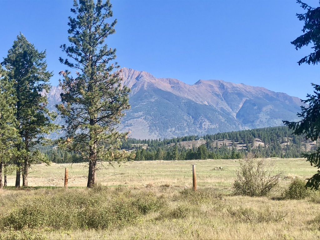
Family friendly hiking trails around Area B (South Fraser Canyon/Sunshine Valley) traverse a landscape defined by rugged canyons, towering mountains, and lush subalpine forests. The region features the dramatic Fraser Canyon, carved by the Fraser River, alongside the diverse terrain of the Coquihalla Summit Recreation Area. Hikers can explore valleys, rivers like the Sumallo, and lakes such as Cedar Lake, offering varied natural environments. This area provides a range of trails suitable for families seeking outdoor experiences amidst its distinct…
Last updated: November 8, 2026
4.4
(5)
15
hikers
1.00km
00:25
80m
80m
Easy hike. Easily walkable paths.
1
hikers
4.00km
01:02
20m
20m
Easy hike. Easily walkable paths.

27.7km
07:36
440m
440m
Hard hike. Very good fitness required. Easily walkable paths.
1.29km
00:22
30m
30m
Easy hike. Easily walkable paths.
6.24km
04:31
830m
830m
Hard hike. Good fitness required. Sure-footedness, sturdy shoes and alpine experience required.
Get access to more routes and recommendations from other explorers.
Already have an account?
Our route recommendations are based on thousands of hikes, rides, and runs completed by other people on komoot.
Start today with a free account
Your next adventure awaits.
Popular around Area B (South Fraser Canyon/Sunshine Valley)
Other adventures around Area B (South Fraser Canyon/Sunshine Valley)


Tips from the Community

This small gravel parking area provides quick access to Flood Falls. The trailhead begins just a few steps from the roadside, with space for a limited number of vehicles and easy access from Flood Hope Road near Highway 1. There are no toilets, bins, or other facilities here, so be prepared to pack out anything you bring with you.
0
0
This short trail packs a lot into less than one kilometre. Starting just off Highway 1 near Hope, the route follows a well-worn forest path through moss-covered trees before arriving at the base of Flood Falls. The trail gains only around seventy metres in elevation and can be completed in about twenty to thirty minutes, making it a great option for families, dogs on leash, or anyone looking for a quick stop while travelling through the Fraser Valley.
0
0
Flood Falls plunges down a steep rock face from high above the valley, creating one of the most striking waterfall views in the area. The lower cascade crashes into a rocky basin surrounded by dense forest, with mist often filling the air during spring runoff and after heavy rain. While the waterfall can be viewed from the base, it's best admired from a safe distance, as loose rocks occasionally fall from the cliffs above.
0
0

Following along the Coquihalla River near its confluence with the Fraser River, this well-maintained trail is the most popular in Hope. Along with great river and mountain views you'll have a good chance at spotting wildlife ranging from eagle, bear, and deer, to beavers and snakes.
0
0
Although the original bridge that was used in the film "First Blood" was replaced in 2011, fans of the movie can still visit the location to look out over the river and relive a part of cinematic history.
1
0

The path is quite short, making it an easy adventure for you and your family, but the real excitement begins when you reach the massive rock formations. As you explore, you will see deep cracks and small openings in the giant granite boulders.
0
0
The rocks here were formed by the movement of glaciers and water over a very long time. You will notice that the air inside feels much cooler than the air outside, even on a hot summer day. It is very dark inside, so you must bring a bright flashlight and wear sturdy shoes to help you walk on the uneven, rocky floor.
0
0
As you cross the small, mountain-fed streams along the path, look closely at the water. Because the ground is often frozen or covered in deep snow for much of the year, the water you see is incredibly cold and pure, coming directly from snowmelt.
0
0
Frequently Asked Questions
How many family-friendly hiking trails are available in Area B (South Fraser Canyon/Sunshine Valley)?
This guide features a selection of 9 family-friendly hiking trails in Area B, offering a variety of experiences suitable for different ages and abilities. You'll find a mix of easy, moderate, and some more challenging options to explore with your family.
What is the best time of year to visit Area B for family hikes?
The region is beautiful year-round, but for family-friendly hiking, late spring through early fall (May to October) is generally ideal. During these months, trails are typically clear of snow, and the weather is pleasant. The early fall is particularly vibrant with changing foliage, especially along Highway 3 (Crowsnest Highway) and Highway 1.
What do other hikers enjoy most about hiking in Area B (South Fraser Canyon/Sunshine Valley)?
The komoot community highly rates the trails in Area B, with an average score of 4.68 stars. Hikers often praise the dramatic landscapes of the Fraser Canyon, the diverse natural features, and the well-maintained paths that make for enjoyable family outings. The blend of rugged canyons, towering mountains, and lush forests provides a memorable experience.
Are there any easy trails suitable for young children or toddlers?
Yes, there are several easy options perfect for younger children. A fantastic choice is the Othello Tunnels loop from Coquihalla Canyon Provincial Park, which is a relatively flat 5.5 km trail featuring historic railway tunnels and scenic river views. It's a unique and engaging experience for the whole family.
Can we bring our dog on these family hikes?
Many trails in Area B are dog-friendly, but it's always best to check specific park regulations before you go. For example, the Othello Tunnels trail is generally welcoming to dogs on leash. Always ensure your dog is under control and that you pack out any waste to keep the trails enjoyable for everyone.
Are there any circular routes for families in the area?
Yes, several trails offer a loop experience, which can be great for families as you don't retrace your steps. The Dog Mountain Trail loop provides a rewarding circular hike, though it is rated as difficult, so it might be better suited for families with older, more experienced hikers. For an easier loop, the Othello Tunnels loop is an excellent choice.
What kind of natural attractions can we see along the family-friendly trails?
Area B is rich in natural beauty. Along the trails, you can encounter stunning features like the deep chasms of the Fraser Canyon, lush subalpine forests, and beautiful lakes. For instance, you might spot Lindeman Lake, known for its vibrant turquoise waters, or explore the unique geological formations around the Hope Slide. Many trails offer panoramic mountain views, granite ridges, and diverse forest ecosystems.
Are there any historical sites or landmarks to explore with the family?
Absolutely! The region is steeped in history. The Othello Tunnels are a prime example, offering a fascinating glimpse into the area's railway history. You can also visit Alexandra Bridge Provincial Park to walk across the historic Alexandra Bridge, which played a significant role in the construction of transcontinental railways through the Fraser Canyon.
Is public transport available to reach any of the family-friendly trailheads?
While public transport options directly to remote trailheads can be limited in this region, some areas like Hope, which is close to the Othello Tunnels, might have more accessible transport links. However, for most trailheads, especially those deeper in the Sunshine Valley or Coquihalla Summit Recreation Area, personal vehicle access is generally recommended for convenience and flexibility with family.
What about parking availability at family-friendly trailheads?
Most popular family-friendly trailheads, such as those for the Othello Tunnels or trails around Lightning Lake, typically have designated parking areas. It's advisable to arrive earlier in the day, especially on weekends or holidays, to secure a spot, as these areas can become busy. Always check for any specific parking fees or regulations before your visit.
Are permits required for family hiking in Area B?
For most general family-friendly day hikes in provincial parks or recreation areas within Area B, specific permits are not typically required. However, if you plan to venture into more remote backcountry areas or engage in overnight camping, permits may be necessary. Always check the official websites for specific parks or recreation areas for the most up-to-date information on permits and regulations.
Are there any wheelchair-accessible options for families?
While many trails in the rugged Fraser Canyon and Sunshine Valley feature uneven terrain, some sections of popular trails or park areas may offer more accessible options. For example, parts of the Othello Tunnels trail are relatively flat, but it's best to verify current conditions and accessibility features directly with the park authorities for specific wheelchair-friendly sections.
What amenities are available near the trails for families?
Towns like Hope, located near many trailheads, offer a range of amenities including cafes, restaurants, grocery stores, and accommodations. Sunshine Valley also provides some amenities. It's a good idea to pack essentials like water and snacks, but you'll find options for refreshments and supplies in the nearby communities before or after your hike.
Most popular routes around Area B (South Fraser Canyon/Sunshine Valley)
Most popular attractions around Area B (South Fraser Canyon/Sunshine Valley)

Get inspired with the komoot mobile app


Explore more
Browse the best Hikes in other regions.
