The best family-friendly hikes and walks in St. Louis County
4.9
(37)
1,091
hikers
61
hikes
Family friendly hiking trails in St. Louis County offer a diverse landscape characterized by river bluffs, varied woodlands, and natural areas. The region features extensive park systems with trails winding through forests, alongside rivers like the Meramec and Missouri, and past wetlands. Hikers can expect gentle elevation changes in many areas, making it accessible for families. These natural spaces provide opportunities to observe local wildlife and enjoy scenic views.
Best family friendly hiking trails in St. Louis County
- The most…
Last updated: October 11, 2026
1
hikers
18.9km
04:52
80m
90m
Embark on The Lakewalk, a moderate hiking route spanning 11.8 miles (18.9 km) with a gentle elevation gain of 250 feet (76 metres), typically completed in about 4 hours and…
505km
139:53
8,950m
8,670m
Embark on the challenging Superior Hiking Trail, a demanding 314.0 miles (505.4 km) journey that winds through dense boreal forests, deep gorges, and serene lakes. You will experience frequent glimpses…

5.0
(1)
16
hikers
9.24km
02:26
80m
80m
Embark on the Bass Lake Trail, a moderate hiking route spanning 5.7 miles (9.2 km) with an elevation gain of 251 feet (76 metres). You can expect to complete this…
5.0
(3)
17
hikers
5.34km
01:23
30m
30m
Embark on an easy hike along the Dry Lake Trail, a peaceful loop through the natural beauty of Superior National Forest. You will enjoy tranquil views as you pass the…
5.0
(1)
8
hikers
9.78km
02:38
120m
120m
Embark on the Lester River Trail and Amity East, a moderate hike that takes you through a beautiful forest setting. You will wind past towering pines, aspens, and mixed hardwoods,…
Get access to more routes and recommendations from other explorers.
Already have an account?
Our route recommendations are based on thousands of hikes, rides, and runs completed by other people on komoot.
Start today with a free account
Your next adventure awaits.
Popular around St. Louis County

Family-friendly hikes around Duluth

Family-friendly hikes in Voyageurs National Park

Family-friendly hikes in Bear Island State Forest

Family-friendly hikes in Lake Vermillion-Soudan Underground Mine State Park

North Country Trail – 4,800 Miles along the edge of northern U.S.
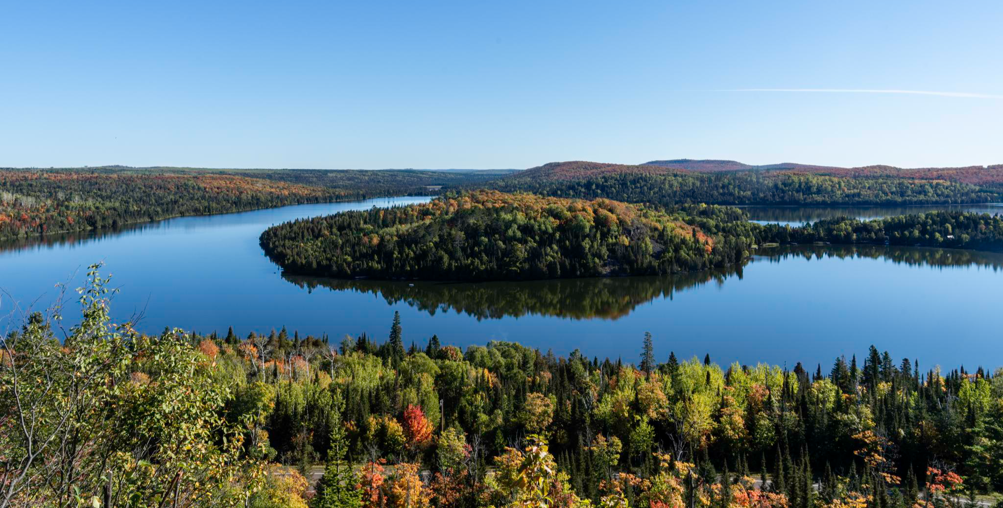
Superior Hiking Trail — Where the forest meets the lake

Mesabi Trail — Riding Minnesota’s Iron Range


Tips from the Community


This overlook is a fantastic spot to catch a glimpse of Lake Superior from an elevated vantage point. It's a great spot to take a break and capture a few memorable photos while enjoying this beautiful park.
0
0

The Martin Road Trailhead marks the northern starting point of the Superior Hiking Trail's North Shore section, offering access to 94 backcountry campsites along a 260-mile stretch to the Canadian border. From here, the trail leads through diverse landscapes, including mixed forests and occasional ponds, providing a relatively flat and scenic route.
0
0
Sucker River Campsite is a well-maintained, tranquil spot nestled in the forest along the Superior Hiking Trail, offering the soothing sounds of the river nearby. It offers a quiet, scenic overnight option, with a nearby water source and a back country latrine. The site is well-marked and accessible, making it a convenient stop for those on the Superior Hiking Trail.
0
0

Should you want to tip your toes in the water, the stream is easily accessible from the trail.
2
0

Here you can explore the westernmost point of the Great Lakes and look out across the mighty expanse of Lake Superior. There is a carriage road, paved bike path, and boardwalk that all run in parallel along the shore from Duluth to the northern lighthouse pier.
0
0


Dry Falls is formed by a small stream flowing from Dry Lake into Bass Lake. Beautiful spot to stop and have a look out over Bass Lake.
0
0
Frequently Asked Questions
How many family-friendly hiking trails are available in St. Louis County?
St. Louis County offers a wide selection of outdoor adventures, with over 60 hiking trails suitable for families. Many of these, around 38, are rated as easy, making them perfect for outings with children.
What do other hikers enjoy most about the family-friendly trails in St. Louis County?
The komoot community highly rates the family-friendly trails in St. Louis County, with an average score of 4.95 stars. Hikers often praise the diverse landscapes, opportunities for wildlife spotting, and well-maintained paths that make for enjoyable outings with kids.
Are there any easy, short trails suitable for toddlers or very young children?
Yes, many parks in St. Louis County offer easy, shorter trails perfect for toddlers. For example, the Dry Lake Trail is an easy option that provides a gentle walk. Parks like Powder Valley Nature Area and Creve Coeur Lake Memorial Park also feature accessible paths ideal for little ones.
Which trails offer scenic viewpoints or natural landmarks for families to explore?
St. Louis County is rich with scenic spots. Castlewood State Park's Riverscene Trail offers stunning limestone bluffs overlooking the Meramec River. You can also find beautiful lake views along trails in Creve Coeur Lake Memorial Park, especially around Mallard Lake, which is great for birdwatching. For unique natural features, Rockwoods Reservation provides a taste of the Ozarks with diverse plant life and rock formations.
Are there any dog-friendly family hiking options in St. Louis County?
Many parks in St. Louis County welcome dogs on their trails, provided they are kept on a leash. It's always a good idea to check specific park regulations before you go, but generally, you'll find plenty of opportunities to bring your furry family member along for the hike.
What kind of wildlife can we expect to see on family hikes in St. Louis County?
St. Louis County offers fantastic opportunities for wildlife viewing. Lone Elk Park is particularly notable, where you can spot elk and bison. Other parks like Powder Valley Nature Area are home to deer and various bird species. Mallard Lake in Creve Coeur Lake Memorial Park is a treasure for birdwatchers, offering sightings of many different avian species.
Are there any circular routes that are good for families?
Yes, many parks offer circular routes that are ideal for families, allowing you to start and end at the same point without retracing your steps. For instance, the Riverscene Trail loop in Castlewood State Park is a popular choice. The Bass Lake Trail also provides a pleasant loop experience.
What are some good trails for families interested in river views?
For beautiful river views, the Al Foster Memorial Trail is an excellent choice, offering lush green scenery along the Meramec River and paths leading to Sherman Beach. Castlewood State Park's trails, such as the Riverscene Trail, also provide stunning overlooks of the Meramec River from limestone bluffs.
Are there any historical or cultural points of interest along the family trails?
While the focus is on nature, some areas have historical significance. Route 66 State Park, for example, features an inner loop that showcases wetlands and wooded areas with views of the historic Route 66 bridge. Greensfelder Park also has a rich history dating back to the 19th century, offering a blend of nature and heritage.
What is the best time of year to go hiking with family in St. Louis County?
Spring and fall are generally the most pleasant seasons for family hiking in St. Louis County, with mild temperatures and beautiful foliage. Spring brings wildflowers and budding trees, while fall offers vibrant autumn colors. Summer can be warm and humid, so early mornings or late afternoons are best, and winter hikes can be enjoyable on clear, crisp days, though some trails might be icy.
Are there any trails that feature lakes or water activities?
Creve Coeur Lake Memorial Park is centered around a 320-acre lake, offering scenic views and opportunities for non-motorized boating and fishing. The trails around the lake, including the Lakeview Loop, are perfect for family walks. The Lakewalk also provides a great experience near water.
Where can we find parking for family-friendly hikes?
Most major parks in St. Louis County, such as Castlewood State Park, Lone Elk Park, Greensfelder Park, and Babler Memorial State Park, offer dedicated parking areas at their trailheads. It's always advisable to check the specific park's website or komoot tour details for parking information before your visit.
Most popular routes in St. Louis County
Most popular attractions in St. Louis County

Get inspired with the komoot mobile app


Didn’t find what you were looking for?
Check out more Hikes throughout St. Louis County below and find the perfect route in your destination.
Explore more
Browse the best Hikes in other regions.
