The best road cycling routes in St. Louis County
4.9
(18)
468
riders
30
rides
Road cycling in St. Louis County features an extensive network of greenways and paved paths, offering diverse landscapes for cyclists. The region is characterized by riverfront views along the Mississippi and Missouri Rivers, rolling hills, and woodlands. Cyclists can explore areas with lakes, wetlands, and limestone bluffs, providing varied terrain.
Best road cycling routes in St. Louis County
- The most popular road cycling route is The Lakewalk, a 14.9 miles (24.0 km) trail that takes 58 minutes to complete.…
Last updated: July 21, 2026
5.0
(4)
21
riders
24.0km
00:59
90m
90m
Easy road ride. Great for any fitness level. Mostly well-paved surfaces and easy to ride.
5.0
(2)
59
riders
Easy road ride. Great for any fitness level. Mostly well-paved surfaces and easy to ride.

Sign up for free
5.0
(2)
49
riders
Moderate road ride. Good fitness required. Some segments of this route may be unpaved and difficult to ride.
5.0
(1)
39
riders
Moderate road ride. Good fitness required. Mostly well-paved surfaces and easy to ride.
5.0
(4)
24
riders
25.5km
01:06
110m
110m
Easy road ride. Great for any fitness level. Mostly well-paved surfaces and easy to ride.
5.0
(1)
24
riders
44.5km
01:44
140m
140m
Easy road ride. Great for any fitness level. Mostly well-paved surfaces and easy to ride.
21
riders
70.6km
04:09
450m
450m
Moderate road ride. Good fitness required. Some segments of this route may be unpaved and difficult to ride.
5.0
(1)
15
riders
25.5km
01:11
160m
160m
Moderate road ride. Great for any fitness level. Some segments of this route may be unpaved and difficult to ride.
13
riders
41.0km
01:59
310m
310m
Moderate road ride. Good fitness required. Some segments of this route may be unpaved and difficult to ride.
23
riders
Moderate road ride. Good fitness required. Some segments of this route may be unpaved and difficult to ride.
Get access to more routes and recommendations from other explorers.
Sign up for free
Already have an account?
Our route recommendations are based on thousands of hikes, rides, and runs completed by other people on komoot.
Start today with a free account
Your next adventure awaits.
Login or Signup
Popular around St. Louis County
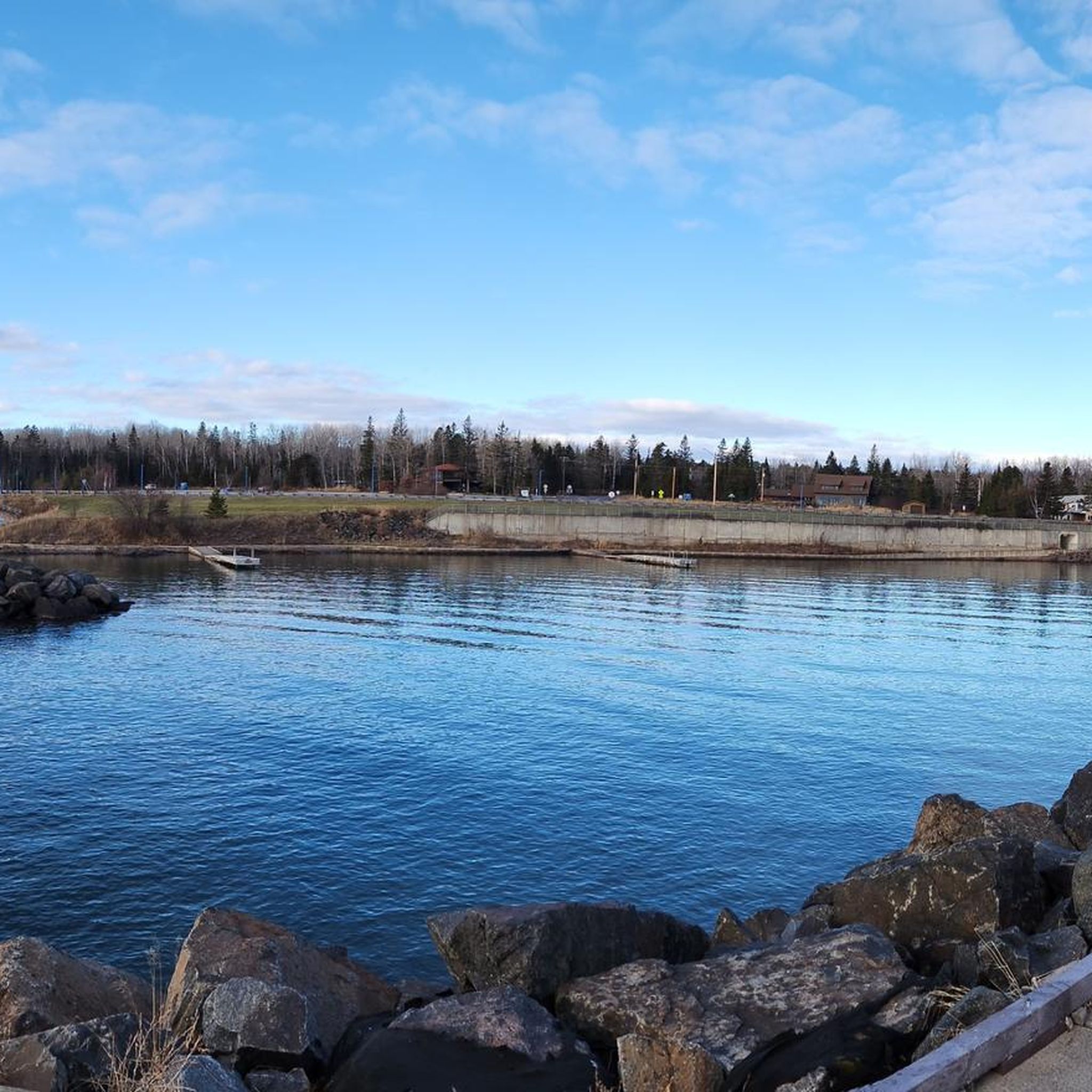
Road Cycling Routes around Duluth
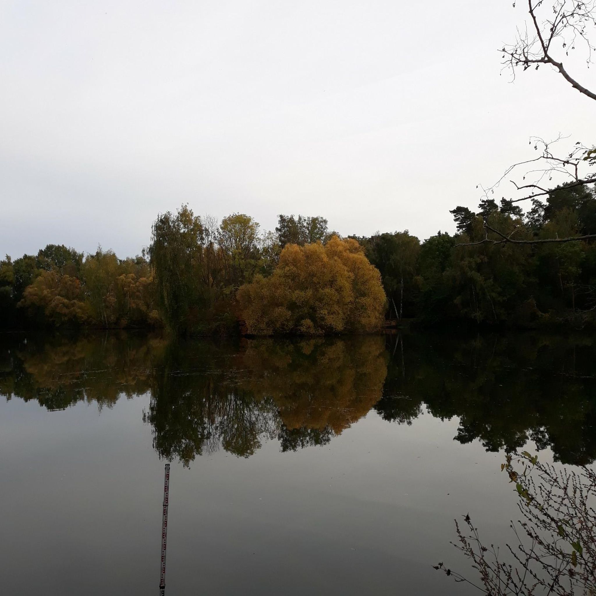
Road Cycling Routes around Hermantown

Road Cycling Routes around Rice Lake
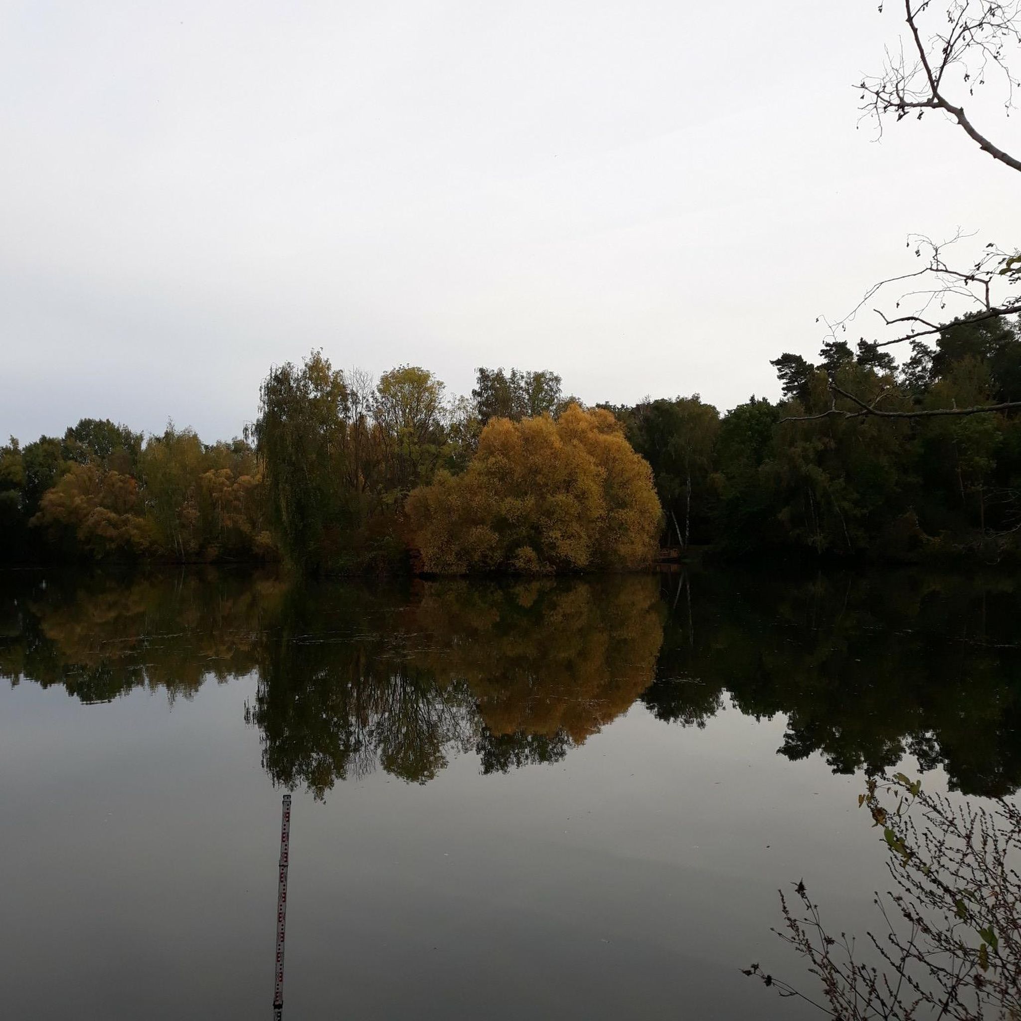
Road Cycling Routes around Proctor
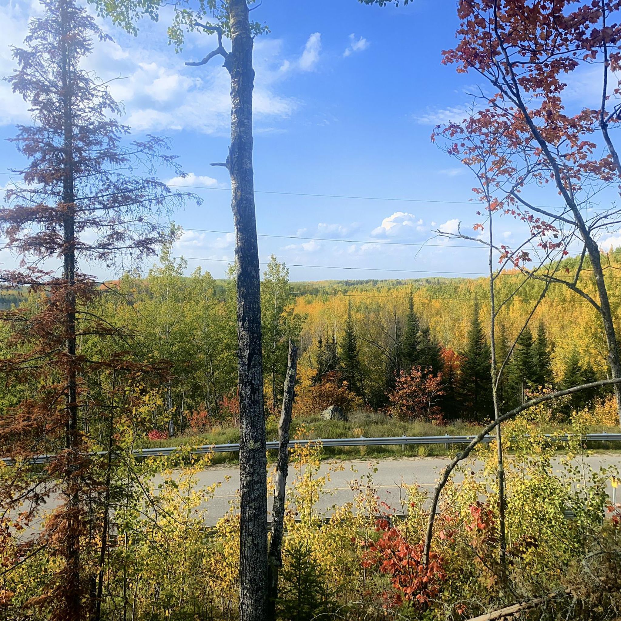
Road Cycling Routes in Bear Island State Forest
Road Cycling Routes around Ely

Road Cycling Routes around Hibbing

Road Cycling Routes around Virginia

Road Cycling Routes around Gilbert

Road Cycling Routes around Mckinley


Tips from the Community


Ely is a key gateway town and a meeting point for several trails, including the Mesabi Trail, the NCT, and the Kekekabic Trail. It’s a convenient stop before or after heading into the Boundary Waters Wilderness. Stock up on trail gear or food, enjoy a meal at Insula or the Boat House Brewpub, and stretch your legs on the Trezona Trail around Miners Lake. If you have time, make the short trip to Kawishiwi Falls—it’s well worth it for the beautiful views and a welcome break from the long trail miles.
0
0

Armstrong Lake is a 382-acre lake, reaching depths of 34 feet, and is popular for fishing for largemouth bass, bluegill, northern pike, crappie, perch, pumpkinseed, rock bass, and smallmouth bass.
0
0
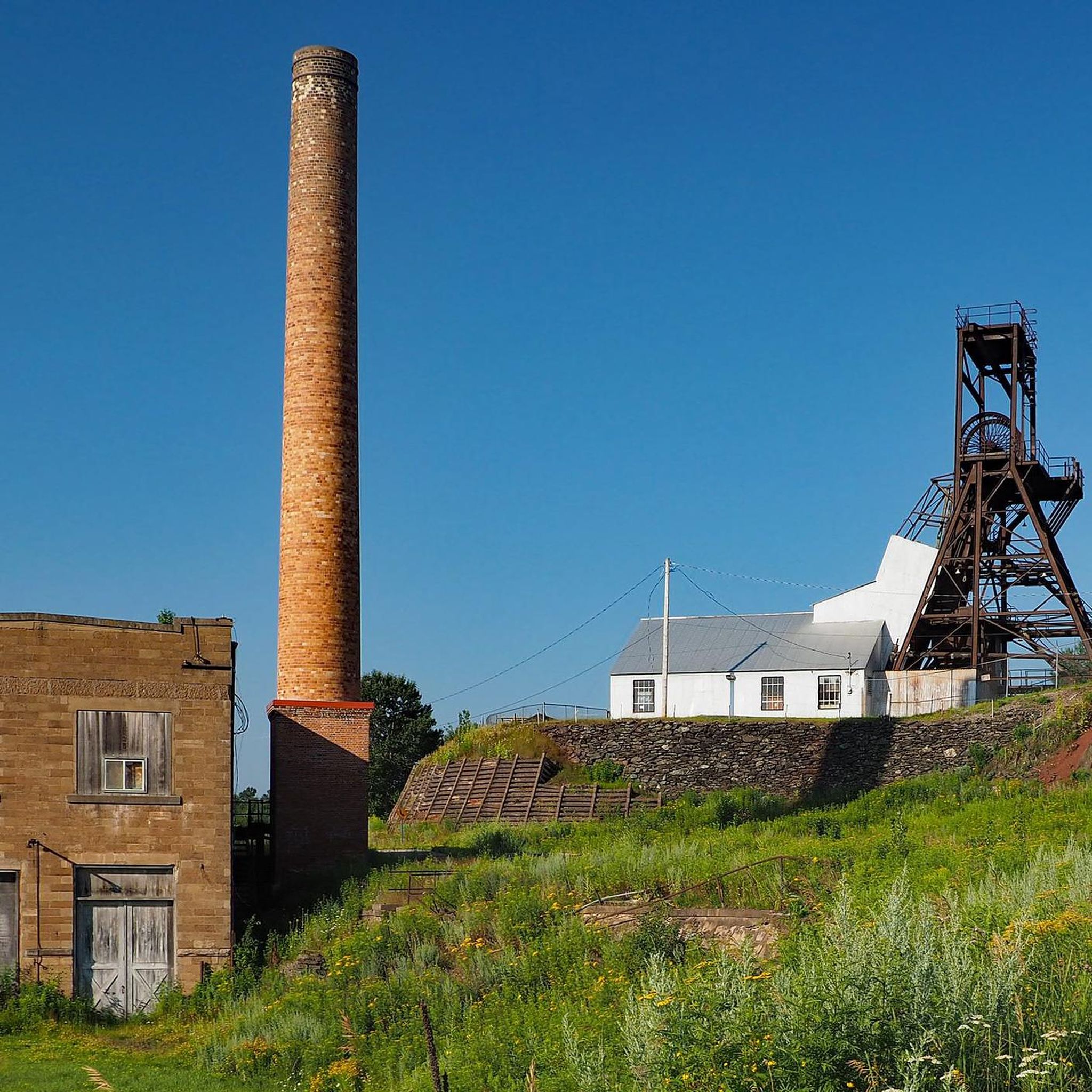
Lake Vermilion–Soudan Underground Mine State Park hosts a mix of industrial history and outdoor recreation. The historic Soudan Underground Mine State Park merged with the Lake Vermilion State Park in 2014 to create this 3,000-acre park along the southern shore of Lake Vermilion. Visitors can visit the Soudan Underground Mine, Minnesota's oldest and deepest iron mine, which reopened for tours in 2024 after extensive renovations.
0
0
The eastern terminus of the Mesabi Trail in Ely marks one end of the 165-mile trail, which takes riders to Grand Rapids, Minnesota. If you hear howling, don't be alarmed; less than .1 mile away is the International Wolf Center.
0
0

Leif Erikson Park is a small park just off the side of the Lakewalk path. You get great views of the water, and the park sometimes plays host to live music and theater events.
0
0

A paved multi-use that runs roughly eight miles long, most of it along the shore of Lake Superior.
0
0

Seven Bridges Road in Duluth, Minnesota, is a scenic stretch of road located in the eastern part of the city, leading into the Amity Creek area. The road is named for its seven unique, historic stone bridges, each crafted from local materials. These bridges span Amity Creek, offering stunning views of waterfalls, forests, and the surrounding hills. This winding road is a popular destination year round, but is especially popular in the autumn, when the area becomes a vibrant display of fall colors. In the winter from November to May, the road is closed to cars, making it a cool (sometimes literally!) spot to ride for adventurous cyclists.
0
0
Frequently Asked Questions
How many road cycling routes are available in St. Louis County?
St. Louis County offers over 25 road cycling routes, catering to various skill levels. You'll find a mix of easy and moderate paths to explore the region's diverse landscapes.
What do other road cyclists enjoy most about the routes in St. Louis County?
The road cycling routes in St. Louis County are highly rated by the komoot community, with an average score of 4.9 stars from over 10 reviews. Cyclists often praise the varied terrain, from riverfront views to rolling hills, and the extensive network of greenways and paved paths.
Are there road cycling routes suitable for beginners in St. Louis County?
Yes, St. Louis County has 8 easy road cycling routes perfect for beginners or those looking for a relaxed ride. Routes like The Lakewalk offer gentle terrain and scenic views, ideal for an enjoyable outing.
What kind of terrain can I expect on road cycling routes in St. Louis County?
Road cycling in St. Louis County features diverse terrain. You'll encounter extensive greenways and paved paths, riverfront views along the Mississippi and Missouri Rivers, rolling hills, and woodlands. Some routes also pass by lakes, wetlands, and limestone bluffs, offering varied scenery.
Are there any challenging road cycling routes in St. Louis County?
While there are no routes officially graded as 'difficult' in our guide, St. Louis County offers 17 moderate routes that provide a good challenge with significant elevation changes. For example, the Jasper Peak – Lake Vermilion State Park loop from Armstrong River features over 460 meters of elevation gain, offering a more demanding ride.
What are some scenic landmarks or attractions I can see along the road cycling routes?
Many routes offer scenic views and pass by notable landmarks. For instance, the View of St. Louis River Gorge – Trail cut through the rock loop from Norton Park provides stunning vistas of the St. Louis River Gorge. You can also find highlights like the Trail cut through the rock, Seven Bridges Road, and Canal Park along various paths.
Are there any circular road cycling routes in St. Louis County?
Yes, many road cycling routes in St. Louis County are designed as loops, allowing you to start and end at the same point. Examples include The Lakewalk and the Ely loop from Burntside Lake, which offer convenient circular journeys.
What is the best season for road biking in St. Louis County?
The best seasons for road biking in St. Louis County are typically spring and fall, when temperatures are mild and the natural scenery is vibrant. Summer can also be enjoyable, though it's advisable to ride earlier in the morning or later in the afternoon to avoid the peak heat. Winter cycling is possible, but some trails may be affected by snow or ice.
Are there family-friendly road cycling options in St. Louis County?
Absolutely. St. Louis County boasts numerous greenways and paved paths that are ideal for families. Many of the easy routes, such as the The Lakewalk, offer flat, well-maintained surfaces away from traffic, making them safe and enjoyable for all ages. The region's extensive greenway system, including parts of the Great Rivers Greenway, is designed with accessibility in mind.
Are there any road cycling routes that offer river views?
Yes, St. Louis County is known for its riverfront views. Routes like the Mississippi River Trail and the Florissant and Mississippi River Trail Loop provide stunning vistas of the Mississippi and Missouri Rivers. The View of St. Louis River Gorge – Trail cut through the rock loop from Norton Park also offers picturesque river gorge landscapes.
Where can I find parking for road cycling routes in St. Louis County?
Many popular road cycling routes in St. Louis County, especially those part of the greenway system, offer designated parking areas. For instance, trails like Grant's Trail and the River des Peres Greenway typically have accessible parking lots at various trailheads. It's always recommended to check specific trail information for the most convenient parking options.
Are there cafes or amenities near the road cycling routes?
Yes, several road cycling routes in St. Louis County pass through or near urban areas and parks where you can find amenities. For example, routes around Forest Park and Tower Grove Park are often close to cafes and other facilities. The Great Rivers Greenway system also aims to connect communities, increasing the likelihood of finding services nearby.
Most popular routes in St. Louis County
Most popular attractions in St. Louis County

Get inspired with the komoot mobile app


Didn’t find what you were looking for?
Check out more Road cycling routes throughout St. Louis County below and find the perfect route in your destination.
Explore more
Browse the best Road cycling routes in other regions.
