The best traffic-free bike rides around Sayago
5.0
(1)
14
riders
3
rides
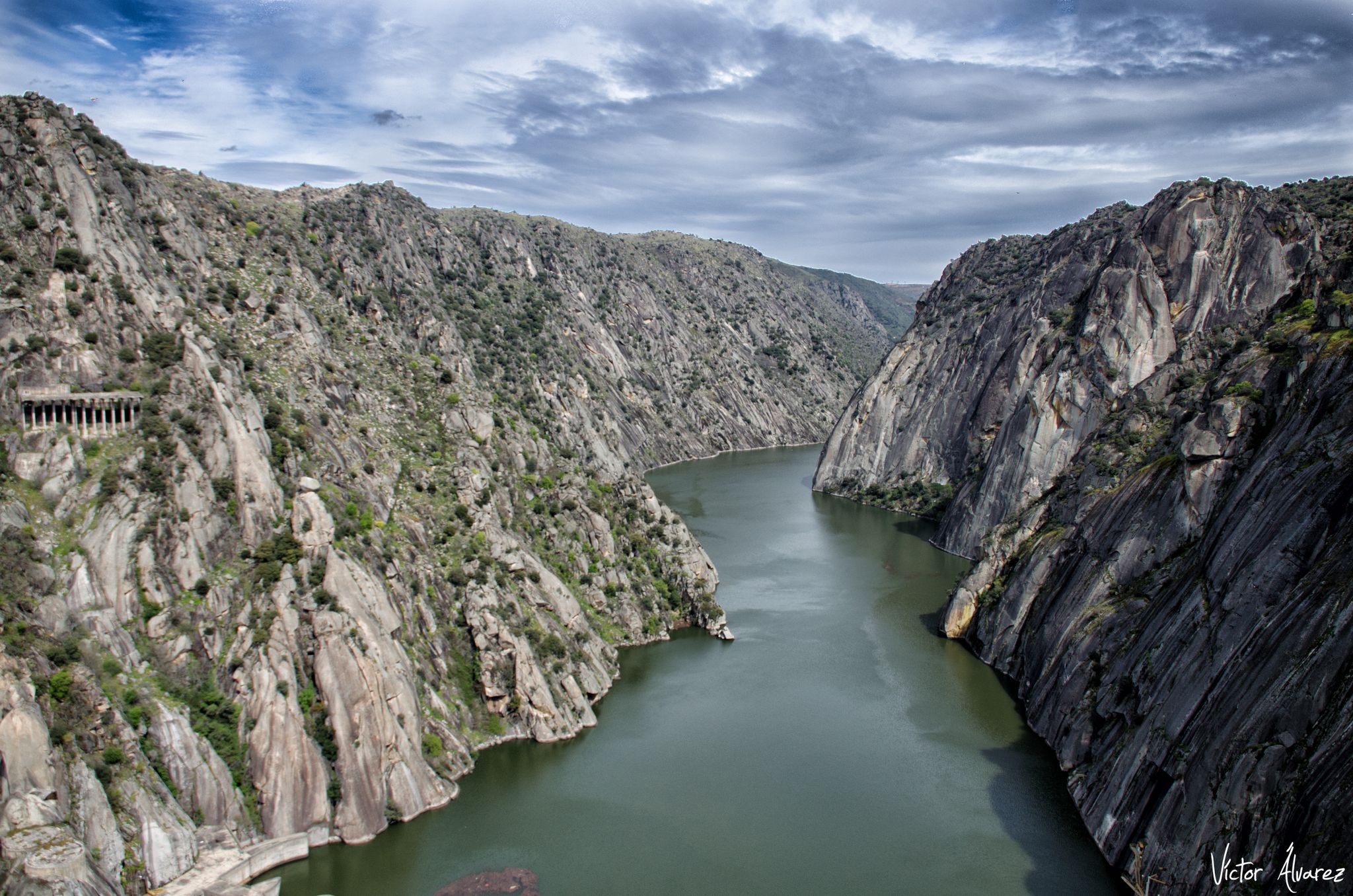
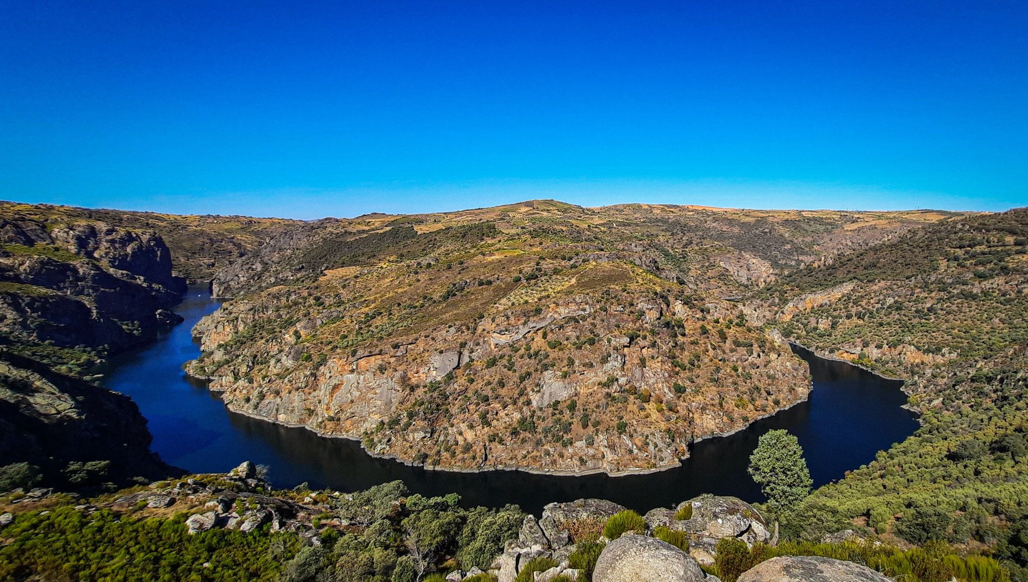
Gravel biking around Sayago offers access to a landscape characterized by ancient roads, granite formations, and diverse natural features. The region is crisscrossed with old Roman roads and restored drovers' paths, providing an extensive network for no traffic gravel bike trails. Cyclists can explore the dramatic canyons of the Arribes del Duero Natural Park, along with oak and cork oak forests, and traditional stone walls. This varied terrain provides a dynamic environment for gravel biking.
Best no traffic gravel bike…
Last updated: July 20, 2026
5.0
(1)
5
riders
47.1km
03:13
320m
320m
Moderate gravel ride. Good fitness required. Mostly paved surfaces. Suitable for all skill levels.
2
riders
Hard gravel ride. Very good fitness required. Mostly paved surfaces. Suitable for all skill levels.

Sign up for free
1
riders
45.4km
03:13
510m
510m
Hard gravel ride. Very good fitness required. Mostly paved surfaces. Suitable for all skill levels.
2
riders
60.7km
03:55
570m
570m
Hard gravel ride. Very good fitness required. Mostly paved surfaces. Suitable for all skill levels.
Our route recommendations are based on thousands of hikes, rides, and runs completed by other people on komoot.
Start today with a free account
Your next adventure awaits.
Login or Signup



Tips from the Community

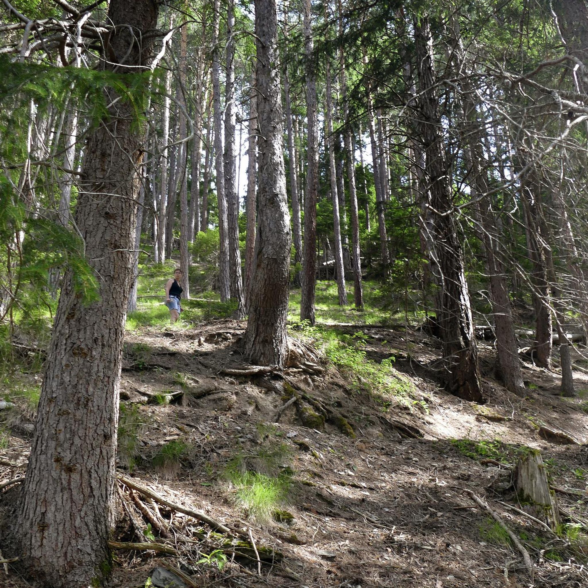
The Sofreral de Cerezal is a cork oak forest (called sofreros in the area), the largest in Castile and León. Leaving the village, you cross a wonderful path about 4 km long.
0
0

Mirador do Penedo Amarelo. It is located on Rua do Penedo Amarelo, in the urban area of Miranda do Douro. It offers wide panoramic views of the Douro River surrounded by green hills, the dam, the historic center and the co-cathedral of Miranda do Douro. It is one of the most outstanding urban viewpoints in the area.
3
0
It spans the Duero River in Zamora (Castilla y León), connecting Avenida de Portugal (Pinilla neighborhood) with Calle de Salamanca in the city. The project began in 1882, with construction starting in 1892, under the direction of engineer Prudencio Guadalajara, to alleviate the overloading of the old Stone Bridge. Inaugurated in 1900, it represented a significant improvement in handling the growing traffic in the city. It was designed in steel, using a metal lattice structure of the St. Andrew's Cross type, typical of the late 19th century.
3
0
This monument consists of three monoliths representing the three roads that converge at this location: the Via de la Plata, the Calzada Mirandesa, and the Via Dalmacia; and a curb where pilgrims can write a wish on a stone and throw it into the curb for it to come true.
1
0

Bar Peña Unai Simon A great place to stop and have a coffee.
0
0
The Ricobayo Reservoir, also known as Salto de Ricobayo or Embalse del Esla, is an impressive hydroelectric engineering project located on the Esla River, less than 1 km from Ricobayo de Alba, in the municipality of Muelas del Pan. The reservoir is located in the area known as the Arribes del Esla, a deep geographic depression with spectacular landscapes.
1
0
The Cadozos Waterfall, located in Muelas del Pan (Zamora), is a little-known but very special natural spot, ideal for hiking and nature lovers. It's a seasonal waterfall, meaning its flow depends on rainfall, being most spectacular in spring or after days of heavy rain.
1
0
It's striking to find a church of this size in a small town, but its origin lies in a tradition that dates back to the late 13th century. Tradition tells us that while King Sancho IV was in Zamora recovering from a fever and wanting to escape his boredom, he organized a hunting trip. During the hunt, one of his falcons shot down a partridge and, upon hunting, found it sheltered among some broom bushes, protected by a small statue of the Virgin. The king ordered the statue of the Virgin to be immediately moved to the Church of San Antolín in the city of Zamora and ordered a church dedicated to Santa María la Real to be erected in her honor on the spot where the statue was found.
1
0
Frequently Asked Questions
How many traffic-free gravel bike trails are available in Sayago?
Sayago offers a curated selection of gravel bike routes designed to keep you away from traffic, allowing you to explore its unique landscapes. While this guide highlights specific tours, the region is known for its extensive network of ancient unpaved roads, perfect for quiet cycling adventures.
What kind of landscapes can I expect on these traffic-free gravel routes in Sayago?
You'll experience a diverse and rugged landscape, characterized by granite formations, traditional stone walls known as 'cortinas', and forests of oak and cork oak. Many routes traverse the dramatic canyons of the Arribes del Duero Natural Park, offering breathtaking views of the Duero and Tormes rivers.
Are there any challenging traffic-free gravel routes for experienced riders?
Yes, for those seeking a challenge, Sayago offers routes with significant elevation changes and technical sections. For example, the Ricobayo Reservoir – Cadozos Waterfall loop from Central Hidroelectrica Ricobayo is rated as difficult, featuring over 540 meters of elevation gain over 42 km. Another demanding option is the Palomares – Olivares Watermills loop from Zamora, covering 61 km with similar elevation.
What natural attractions can I see along the traffic-free gravel bike trails?
Many routes pass by stunning natural features. You might encounter the impressive Abelón Waterfall, especially beautiful after rainfall, or enjoy panoramic views from the Mirador de las Barrancas, overlooking the Duero canyon. The Staircase Viewpoint also offers memorable vistas.
Are there any historical or cultural landmarks to explore on these routes?
Absolutely. Sayago is rich in history. You can cycle past ancient Roman roads, medieval bridges like the Pisón Stream Bridge, and traditional villages. The region is often called an 'open-air ethnology museum,' with well-preserved architecture and archaeological remains. The Hermitage of Santa Cruz is one such cultural highlight you might discover.
What is the best time of year for gravel biking in Sayago to avoid traffic?
Spring and autumn are generally ideal for gravel biking in Sayago. The weather is milder, and the natural scenery is vibrant. During these seasons, you'll find the trails less crowded, enhancing the 'no traffic' experience. Winters can be cool but offer a unique, quiet beauty, while summers can be hot, making early morning or late afternoon rides preferable.
Are there any loop routes available for traffic-free gravel biking?
Yes, several routes are designed as loops, allowing you to start and finish at the same point. An excellent example is the Monoliths of the Three Causeways – Zamora Stone Bridge loop from Zamora, a moderate 47 km ride that takes you through diverse terrain and past interesting features.
Can I find routes that are suitable for beginners or those looking for an easier ride?
While many routes in Sayago offer a good challenge, the region's extensive network of ancient paths includes sections that are less demanding. Look for routes described as 'moderate' or check the elevation profiles to find flatter sections, which are perfect for those new to gravel biking or seeking a more relaxed pace away from cars.
What makes Sayago a unique destination for traffic-free gravel biking?
Sayago's uniqueness lies in its combination of untouched natural beauty, deep historical roots, and a vast network of ancient, unpaved roads. These 'drovers' roads' and Roman paths naturally lend themselves to traffic-free exploration, offering a genuine sense of discovery through an 'open-air ethnology museum' where every turn reveals traditional landscapes and cultural heritage.
Are there viewpoints along the traffic-free gravel routes where I can stop and enjoy the scenery?
Sayago is dotted with numerous viewpoints, especially within the Arribes del Duero Natural Park. Beyond the Mirador de las Barrancas, you might also find the São João das Arribas Viewpoint or the Teso de Santa Bárbara, offering spectacular vistas of the canyons and the Sayagués landscape, perfect for a break during your ride.
Most popular routes around Sayago
Most popular attractions around Sayago

Get inspired with the komoot mobile app


Explore more
Browse the best Gravel rides in other regions.
