The best traffic-free bike rides around Hulst
4.5
(52)
605
riders
43
rides
No traffic gravel bike trails around Hulst offer a diverse landscape for cyclists, characterized by its well-preserved 17th-century fortified city walls and ramparts. The region features expansive flat polder landscapes and varied forest areas like the Clingse Bossen and Heather Stropersbos. Riders can also explore paths along quiet waterways such as the Moervaart Towpath and the Stekense Canal.
Best no traffic gravel bike trails around Hulst
- The most popular no traffic gravel bike trail is Clingebos Forest Path – The…
Last updated: July 20, 2026
4.5
(2)
56
riders
53.2km
03:04
70m
70m
Moderate gravel ride. Good fitness required. Mostly paved surfaces. Suitable for all skill levels.
41
riders
46.4km
02:55
50m
50m
Hard gravel ride. Good fitness required. You may need to push your bike for some segments of this route.

Sign up for free
4.2
(5)
56
riders
46.3km
02:35
50m
50m
Moderate gravel ride. Good fitness required. Mostly paved surfaces. Suitable for all skill levels.
21
riders
47.2km
03:00
60m
60m
Moderate gravel ride. Good fitness required. Mostly paved surfaces. Suitable for all skill levels.
5.0
(2)
16
riders
49.8km
02:56
60m
60m
Moderate gravel ride. Good fitness required. Mostly paved surfaces. Suitable for all skill levels.
Get access to more routes and recommendations from other explorers.
Sign up for free
Already have an account?
Our route recommendations are based on thousands of hikes, rides, and runs completed by other people on komoot.
Start today with a free account
Your next adventure awaits.
Login or Signup
Popular around Hulst
Tips from the Community

The creek area of Saleghem is more than the sum of its parts. The nature reserve consists of the Grote Saleghemgeul on one side, and the Sint-Jakobsgat and the Kieldrechtse Watergang on the other. This triumvirate of water creeks then flows into the Grote Geule in Kieldrecht. Each separately is beautiful, yes. But together they are magical. The succession of gently sloping banks, grassland and hay, rare birds and colourful flowers, rustling reeds and melancholic willows: it silences a person. It inspires awe for the magic of nature. And everyone can enjoy it – even wheelchair users, because there is a special wheelchair walk around the creek lakes. This is what waasland.be writes... and there is nothing to contradict it.
2
0

On this segment, you will get to know the Stropersbos. A bench awaits you at the heathland restoration area. About the Stropersbos: the Stropersbos is a must-see natural gem with its stately avenues, valuable alder swamp forests, open spaces with heathland, and its large grazers! Together with the adjacent green areas, the Stropersbos forms one of the largest forest and nature complexes in East Flanders. Numerous walking and cycling opportunities allow visitors to discover the Stropersbos.
5
1
This open water (creek) is a remnant of a military inundation in the fight against the French in the War of the Spanish Succession - period 1701–1713. By breaching this dike, the polders behind it around Koewacht were flooded. When restoring the dike, they went around the deepest part of the stream channel.
6
0
An ideal stopping point on your cycling or hiking experience: Step back in time and discover a hidden piece of history: Fort Sint-Jacob. This fascinating remnant from the Eighty Years' War takes you back to a period when borders were still fought over and waterways made the difference between safety and danger. Located on the Passageule, this fort once formed a crucial link between the Spanish Netherlands and the States' territories. As part of the impressive States-Spanish Lines, Fort Sint-Jacob guarded the border and held back enemy infiltrations from the north. After the Peace of Münster, the fort lost its military function and slowly faded into obscurity. Nature took over, until around 2010 it was restored with care and respect for the past. Today, you can once again experience the contours of the past, including a replica of a cannon that symbolises the struggle that was once waged here. But Fort Sint-Jacob is more than just history. It is a place where peace and nature meet. The ramparts and moats now form a unique landscape where special plants and animals feel at home, typical of the brackish Zeeland area. Whether you are walking or cycling, this is an ideal place to pause, enjoy, and let yourself be carried away by the past. Let yourself be surprised and experience Fort Sint-Jacob for yourself.
3
0
The gravel path is semi-hardened. The landscape you see here was partly shaped during the Spanish-Dutch struggle in the Eighty Years' War. Note the dikes and elevations in the landscape. These were important during the turbulent war years.
6
0

single track that requires concentration
0
1
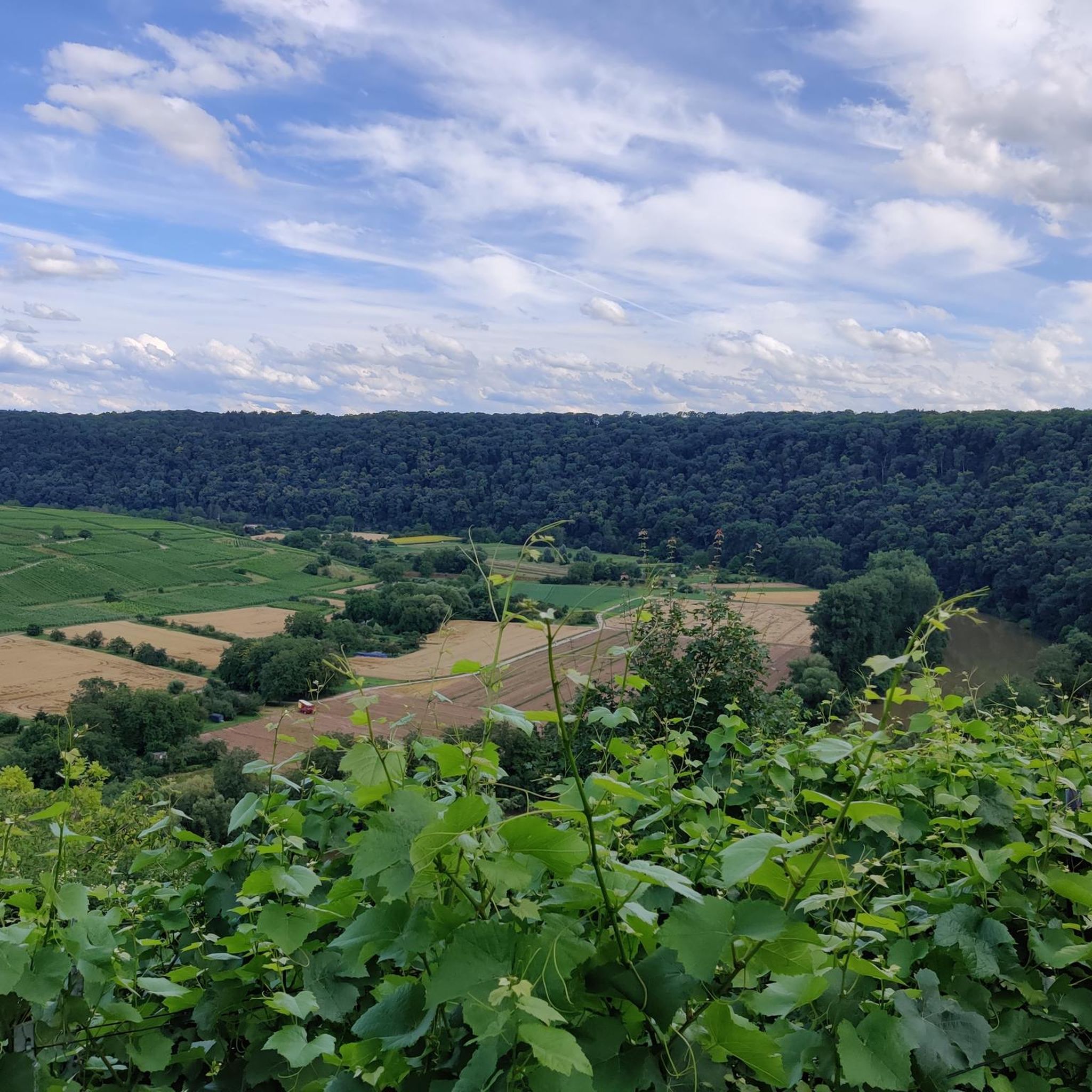
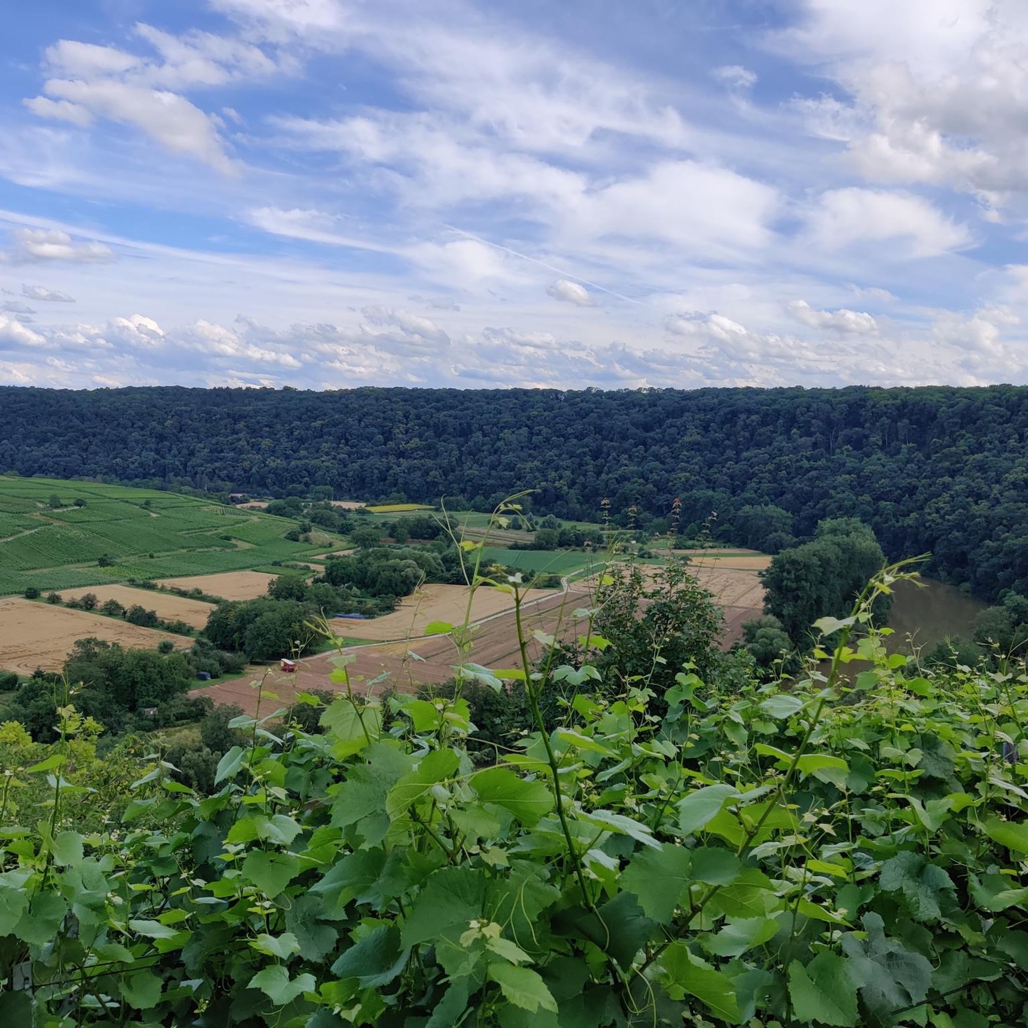
beautiful view over the Polders
1
0

Very well-developed cycle path
0
0
Frequently Asked Questions
How many traffic-free gravel bike trails are available around Hulst?
There are over 35 traffic-free gravel bike trails around Hulst, offering a variety of experiences for different skill levels. These routes are highly rated by the komoot community, with an average score of 4.7 stars.
What kind of terrain can I expect on the gravel bike trails in Hulst?
The Hulst region offers a diverse mix of terrain. You'll find routes through the characteristic flat polder landscapes of Zeeland, paths along quiet waterways like the Moervaart Towpath, and trails winding through varied forest areas such as the Clingse Bossen and the Heather Stropersbos. While generally flat, some routes incorporate sandy soil or gentle inclines.
Are there any easy, traffic-free gravel bike routes suitable for beginners in Hulst?
Yes, Hulst offers several easy, traffic-free gravel bike routes perfect for beginners. Many of the trails through the flat polder landscapes are ideal, providing a relaxed riding experience. For example, the Great Saleghem Channel – Trompkapel loop from De Klinge is a moderate route that traverses these scenic, quiet areas.
What natural features or landmarks can I see along the traffic-free gravel trails?
You can explore a wealth of natural and historical features. Many routes pass through the Heather Stropersbos, known for its diverse flora and wildlife. You might also cycle along the Stekense Canal or near the unique tidal area of the Verdronken Land van Saeftinghe. The fortified city walls of Hulst itself also offer unique cycling paths with panoramic views.
Are there any circular gravel bike routes around Hulst?
Yes, many of the traffic-free gravel bike trails around Hulst are designed as loops, allowing you to start and end at the same point. Examples include the Clingebos Forest Path – The Koningsdijk loop from Nieuw Namen and the Moervaart Towpath – Liniewegel Singletrack loop from Sint Jansteen.
What is the best time of year for gravel biking in Hulst to avoid traffic?
Hulst's flat landscapes and dedicated bike paths make it suitable for gravel biking year-round. To best enjoy the quiet routes and natural beauty, spring and autumn offer pleasant temperatures and vibrant scenery. Even in winter, many trails remain accessible and offer a serene, traffic-free experience.
Are the traffic-free gravel bike trails in Hulst family-friendly?
Yes, the generally flat and traffic-free nature of many routes makes them very family-friendly. The region's extensive network of dedicated bike paths, including a former railway line, provides safe and enjoyable cycling for all ages. Look for routes with lower difficulty grades for the most suitable family outings.
Can I bring my dog on the gravel bike trails around Hulst?
While many natural areas in the Netherlands are dog-friendly, specific rules can vary by location, especially in nature reserves or protected forests like the Clingse Bossen or Heather Stropersbos. It's always best to check local signage or the specific regulations for the area you plan to cycle through to ensure dogs are permitted, often on a leash.
Where can I find parking or public transport access for these gravel bike trails?
Hulst and its surrounding villages offer various parking options, often near trailheads or town centers. For public transport, regional buses connect Hulst with nearby towns, and some routes may be accessible from bus stops. Planning your route in advance on komoot can help identify convenient starting points with parking or public transport links.
What do other gravel bikers enjoy most about the traffic-free routes in Hulst?
The komoot community highly rates gravel biking in Hulst, with an average score of 4.7 stars. Reviewers frequently praise the region's quiet, diverse landscapes, from the expansive polders to the serene forest paths, and the well-maintained network of traffic-free trails that allow for peaceful and immersive rides.
Are there any challenging traffic-free gravel routes for experienced riders?
While Hulst is generally known for its flat terrain, experienced riders can find longer routes that combine various surfaces and natural features to create a more challenging experience. Routes that delve deeper into forest areas or connect multiple polder sections can offer extended distances and varied gravel conditions. The Stiltepad Gravel Path – Hinnen Singletrack loop from Stropersbos, for instance, offers a moderate challenge over nearly 50 km.
Most popular attractions around Hulst

Get inspired with the komoot mobile app


Explore more
Browse the best Gravel rides in other regions.
