The best traffic-free bike rides around Taurinya
4.7
(103)
2,787
riders
10
rides
No traffic road cycling routes around Taurinya are set within the Pyrénées-Orientales department, presenting a diverse landscape for cyclists. The area is characterized by challenging mountain passes, serene valleys, and proximity to both the Pyrenees and the Mediterranean coast. This geographical diversity provides varied terrain, from high mountain environments dominated by Pic du Canigou to more gentle valley roads and rolling vineyards.
Best no traffic road cycling routes around Taurinya
- The most popular no traffic road cycling route is Prades and Lac de Vinça Loop, a 28.9 miles (46.6 km) trail that takes 2 hours 29 minutes to complete. This route explores the area around Prades and the Lac de Vinça, offering views of the surrounding valleys.
- Another top favourite among local road cyclists is Arboussols Village – Marcevol loop from Prades - Molitg-les-Bains, a moderate 29.8 miles (48.0 km) path. This route navigates through villages and diverse landscapes, showcasing the region's lush scenery.
- Local road cyclists also love the Grand Menhir de Counozouls – Eus loop from Prades - Molitg-les-Bains, a 20.0 miles (32.2 km) trail leading through varied terrain and past the Grand Menhir, often completed in about 1 hour 34 minutes.
- Road cycling around Taurinya is defined by rugged peaks, deep valleys, and lush landscapes, with routes offering options for different ability levels.
- The routes in Taurinya are highly rated by the komoot community with an average score of 4.6 stars from over 90 reviews. More than 2,200 road cyclists have used komoot to explore Taurinya's varied terrain.
Last updated: May 9, 2026
5.0
(3)
89
riders
46.6km
02:30
770m
770m
Moderate road ride. Good fitness required. Mostly well-paved surfaces and easy to ride.
5.0
(5)
71
riders
54.7km
02:44
840m
840m
Moderate road ride. Good fitness required. Mostly well-paved surfaces and easy to ride.

Sign up for free
5.0
(1)
24
riders
48.3km
02:33
900m
900m
Moderate road ride. Good fitness required. Mostly well-paved surfaces and easy to ride.
12
riders
15.0km
01:07
520m
520m
Moderate road ride. Good fitness required. Mostly well-paved surfaces and easy to ride.
11
riders
32.1km
01:41
590m
590m
Moderate road ride. Good fitness required. Mostly well-paved surfaces and easy to ride.
Get access to more routes and recommendations from other explorers.
Sign up for free
Already have an account?
Our route recommendations are based on thousands of hikes, rides, and runs completed by other people on komoot.
Start today with a free account
Your next adventure awaits.
Login or Signup
Popular around Taurinya
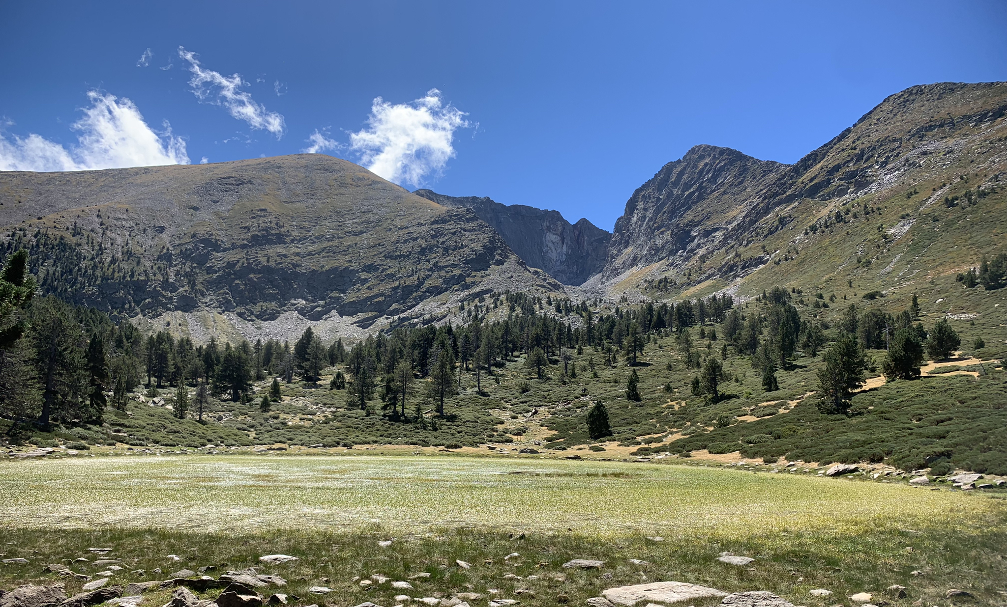
Tour du Canigou – Through the heart of the Mediterranean Pyrenees

Haute Route Pyrénéenne – Pyrenees Crossing
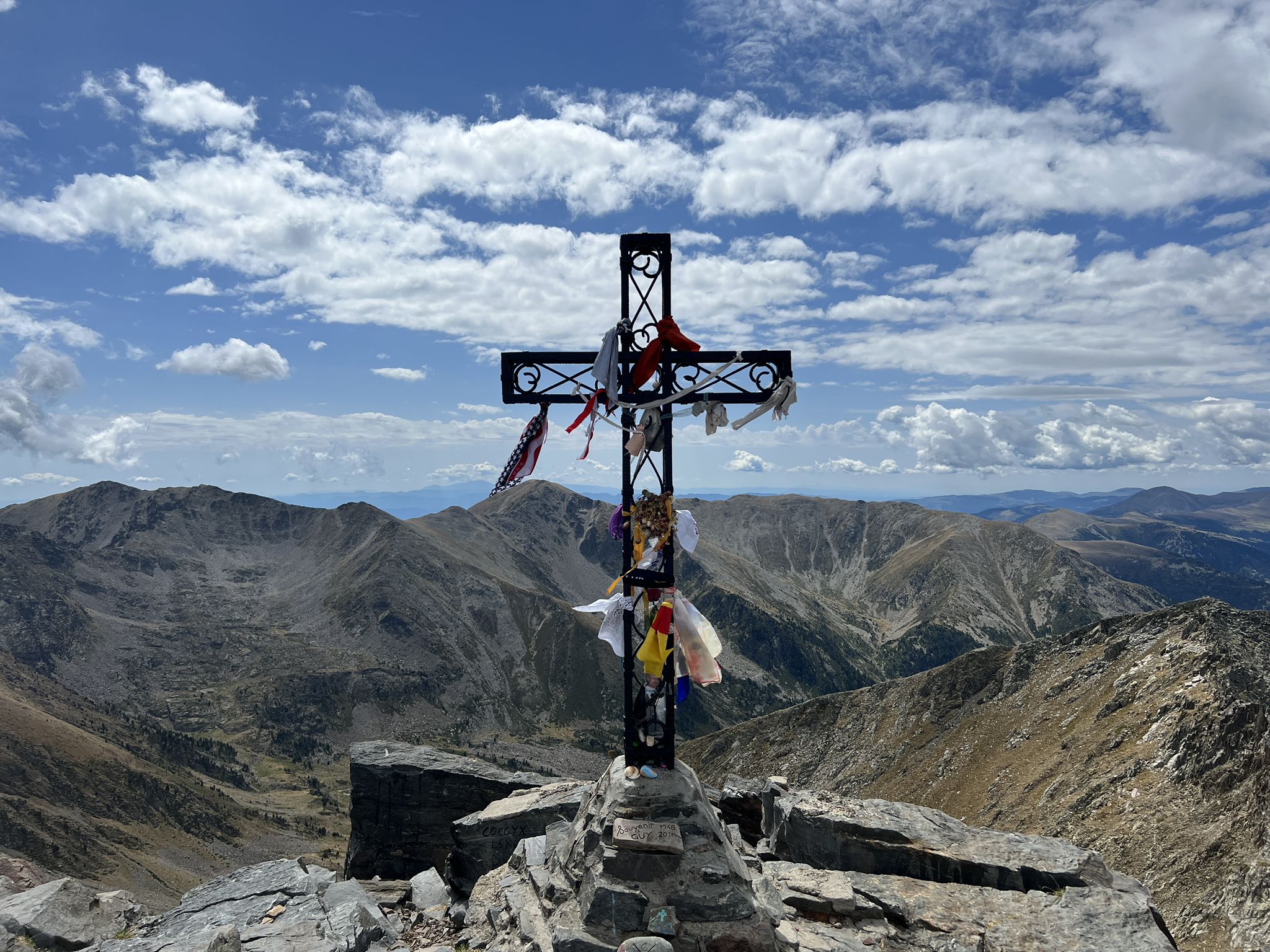
Tour of Canigo — The last great massif of the Pyrenees

On wild ridges: Catalonia to Ariège – Hexatrek, Eastern Pyrenees
Traffic-free bike rides around Taurinya

Traffic-free bike rides around Taurinya
Other adventures around Taurinya


Tips from the Community

The Grand Menhir of Counozouls weighs 50 tons and is 8.9m high. It is the largest menhir in Southern France.
1
0

The Col de Jou from Villefranche de Conflent is a climb in the French Pyrenees. This climb is 11.4 kilometers long and has a positive elevation gain of 687 meters. The Col de Jou from Villefranche de Conflent has an average gradient of 6%.
15
0

Not only found in Brittany
1
0


Easy to access spot, very beautiful view, even in muscular terrain which is largely doable.
1
0

The Col de Jou peaks at an altitude of 1,125 meters. It is a well-known rallying point for local hikers. Indeed, the GR 10 passes through there, and it is the starting point for many hikes including the one that connects Canigou peak.
1
0

Formerly fortified around a castle, this defensive place made it possible to repel attacks by French armies in the 16th century and then by Spanish troops in the 18th century. Now dominated by a church built on the ruins of the old castle, the village is renowned for being one of the sunniest in France. Largely pedestrianized, dotted with artisan boutiques, restaurants and shops, Eus (around 400 inhabitants) is a member of the association of the most beautiful villages in France.
0
0
Frequently Asked Questions
How many no-traffic road cycling routes are available around Taurinya?
There are 6 dedicated no-traffic road cycling routes around Taurinya featured in this guide. These routes range from easy to moderate difficulty, offering varied experiences for cyclists.
What kind of terrain can I expect on these quiet road cycling routes near Taurinya?
The Pyrénées-Orientales region, where Taurinya is located, offers a diverse landscape. You can expect a mix of serene valleys and more challenging ascents as you approach the Pyrenees. Routes like the Prades and Lac de Vinça Loop feature over 700 meters of elevation gain, while easier options provide gentler rolling terrain.
Are there any easy, traffic-free road cycling routes suitable for beginners in Taurinya?
Yes, there are 2 easy, traffic-free road cycling routes in the area. For instance, the Eus – View of Eus loop from Prades - Molitg-les-Bains is a shorter, less demanding option, perfect for those new to road cycling or looking for a relaxed ride.
What are some notable landmarks or natural features I might see along these routes?
The region is rich in natural beauty and historical sites. You'll be cycling with views of the iconic Pic du Canigou. Some routes also pass by charming villages like Eus, and you can explore nearby mountain passes such as Jou Pass. The area is part of the Regional Natural Park of Catalan Pyrenees, ensuring well-preserved natural sites.
Are there any circular no-traffic road cycling routes around Taurinya?
Yes, many of the routes are designed as loops, allowing you to start and end in the same location. Examples include the Prades and Lac de Vinça Loop and the Arboussols Village – Marcevol loop from Prades - Molitg-les-Bains, offering convenient circular journeys.
What is the best time of year to enjoy traffic-free road cycling in Taurinya?
The Pyrénées-Orientales region generally offers pleasant cycling conditions from spring through autumn. Spring (April-June) and early autumn (September-October) are often ideal, with comfortable temperatures and vibrant landscapes. Summers can be warm, especially in the valleys, but higher elevations offer cooler air.
Is it possible to find family-friendly, no-traffic road cycling routes in the Taurinya area?
While many routes involve some elevation, the easier options, such as the Eus – View of Eus loop from Prades - Molitg-les-Bains, are shorter and have less climbing, making them more suitable for families with older children or those seeking a relaxed pace away from traffic.
Can I bring my dog on these quiet road cycling routes?
While the routes themselves are public roads with minimal traffic, road cycling with dogs can be challenging due to speed and distance. If your dog is accustomed to running alongside a bike for longer distances, ensure they are on a leash and consider the terrain and weather conditions. Always respect local regulations regarding dogs in natural parks or villages.
Where can I park my car when starting a no-traffic road cycling route near Taurinya?
Many routes start from towns like Prades or Vernet-les-Bains, where public parking is generally available. It's advisable to check local parking options in the specific starting village of your chosen route. For example, the Col de Jou – Jou Pass loop starts from Vernet-les-Bains.
Are there options for public transport access to these cycling routes in Taurinya?
Public transport in the more rural areas of the Pyrénées-Orientales can be limited. While some regional buses connect larger towns, bringing bikes on board might require specific arrangements or be restricted. It's best to check with local transport providers for their bike policies if you plan to use public transport to reach a starting point.
What do other cyclists say about the no-traffic road cycling experience in Taurinya?
The area is highly rated by the komoot community, with an average score of 4.58 out of 5 stars from 91 ratings. Reviewers often praise the stunning Pyrenean landscapes, the quiet roads perfect for uninterrupted cycling, and the rewarding climbs that offer panoramic views of the region.
Most popular attractions around Taurinya

Get inspired with the komoot mobile app


Explore more
Browse the best Road cycling routes in other regions.
