The best traffic-free bike rides around Tramont-Saint-André
4.0
(3)
113
riders
5
rides
Road cycling around Tramont-Saint-André is characterized by its varied terrain within the Meurthe-et-Moselle department of France. The region features the valley of the Aroffe river, surrounded by a plateau with elevations ranging from approximately 350 to 495 meters. This landscape offers both relatively flat valley rides and more challenging ascents, notably towards the Colline de Sion. Cyclists can experience a mix of forests and open countryside, typical of the Grand Est region.
Best no traffic road cycling routes around Tramont-Saint-André
…Last updated: May 9, 2026
10
riders
41.7km
01:46
340m
340m
Moderate road ride. Good fitness required. Mostly well-paved surfaces and easy to ride.
2
riders
53.3km
02:19
450m
450m
Moderate road ride. Good fitness required. Mostly well-paved surfaces and easy to ride.

Sign up for free
2
riders
71.3km
03:15
620m
620m
Moderate road ride. Good fitness required. Mostly well-paved surfaces and easy to ride.
5.0
(1)
2
riders
40.2km
02:01
400m
400m
Moderate road ride. Good fitness required. Mostly well-paved surfaces and easy to ride.
4.0
(1)
2
riders
16.6km
00:44
80m
80m
Easy road ride. Great for any fitness level. Mostly well-paved surfaces and easy to ride.
Our route recommendations are based on thousands of hikes, rides, and runs completed by other people on komoot.
Start today with a free account
Your next adventure awaits.
Login or Signup
Popular around Tramont-Saint-André
Tips from the Community

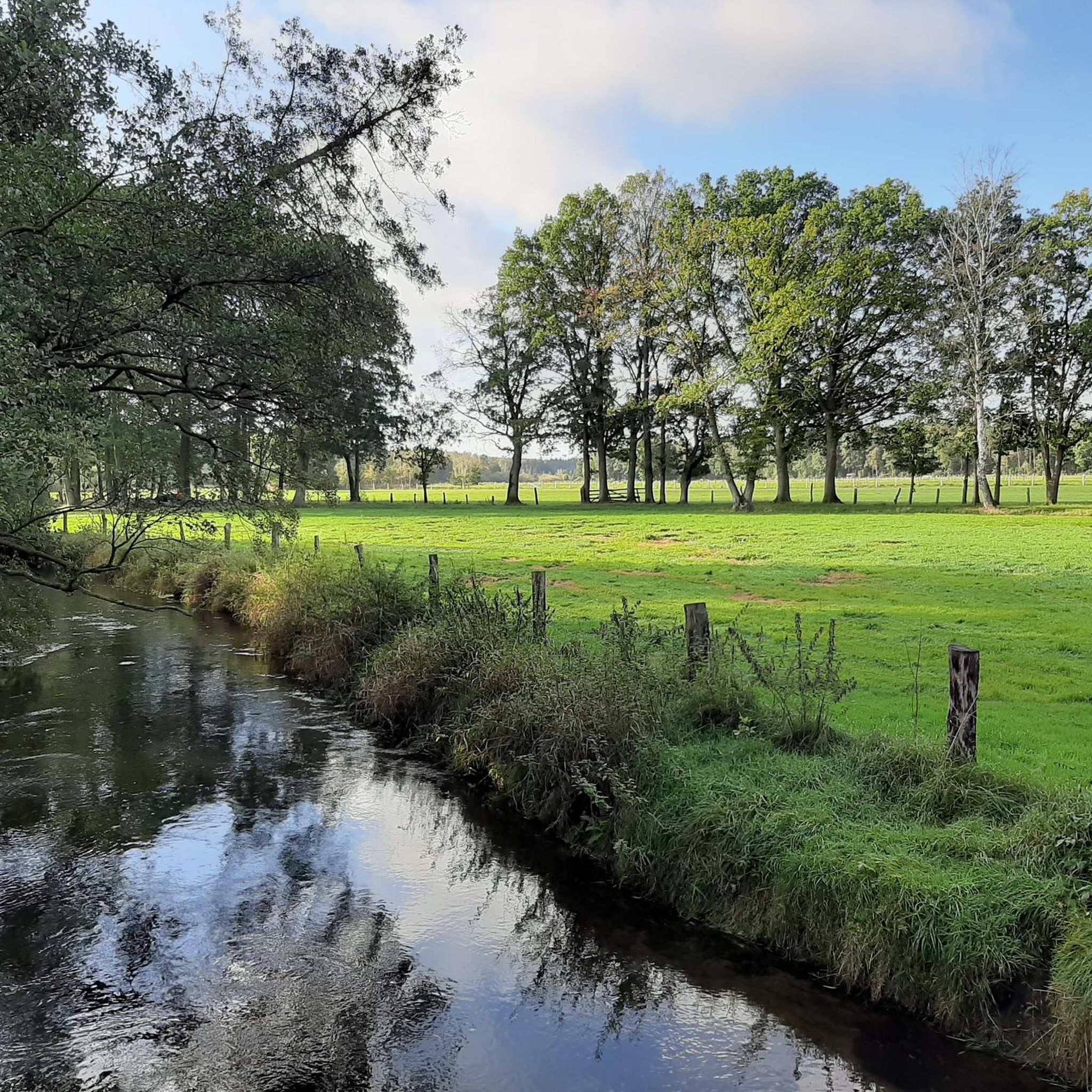
Along the Route du Xaintois cycle route, this section offers beautiful views of the rolling countryside. The road is good and fairly quiet. You will ride alongside fields, and this section can be exposed to sun and wind.
2
0

Frequently Asked Questions
How many no-traffic road cycling routes are available around Tramont-Saint-André?
There are currently 6 dedicated no-traffic road cycling routes around Tramont-Saint-André listed in this guide. These routes offer a mix of easy and moderate challenges, perfect for exploring the region's quiet roads.
What kind of terrain can I expect on these no-traffic road cycling routes?
The terrain around Tramont-Saint-André is varied, featuring both relatively flat valley rides along the Aroffe river and more challenging ascents onto the surrounding plateau. You can expect undulating landscapes with altitudes ranging from approximately 350 to 495 meters, providing diverse experiences for road cyclists.
Are there any easy no-traffic road cycling routes suitable for beginners?
Yes, there is at least one easy route available. The Col de Gugney loop from Thorey-Lyautey is classified as easy, offering a gentler introduction to road cycling in the area while still enjoying traffic-free conditions.
What scenic highlights can I expect to see along these routes?
Many routes offer panoramic views of the surrounding countryside, including glimpses of the Vosges mountains on clear days. The region is characterized by a beautiful mix of forests and open landscapes. For breathtaking vistas, routes that ascend the Colline de Sion are particularly rewarding.
Are there any notable landmarks or attractions along the no-traffic road cycling routes?
Yes, several routes pass by significant landmarks. For instance, the Brunehaut Tower – Barrès Monument loop from Vandeléville takes you past the historic Barrès Monument and the Brunehaut Tower, offering cultural points of interest amidst your ride.
What is the best time of year to go road cycling in Tramont-Saint-André?
The best time for road cycling in Tramont-Saint-André is generally from spring through autumn. During these seasons, the weather is typically mild, and the landscapes are vibrant, making for pleasant riding conditions. Always check the local forecast before heading out.
Are there any challenging no-traffic road cycling routes for experienced cyclists?
While all routes in this guide are moderate or easy, the region itself, particularly around the Colline de Sion, offers demanding ascents. Routes like the Brunehaut Tower – Barrès Monument loop from Vandeléville feature significant elevation gain, providing a good test for cyclists seeking a challenge within a no-traffic context.
Are there any circular no-traffic road cycling routes?
Yes, all the routes listed in this guide are circular, allowing you to start and end your ride at the same point. Examples include the Château Lyautey loop from Vandeléville and the Etang de la Lochère – Le Petit Bois loop from Viocourt.
What do other road cyclists enjoy most about cycling in Tramont-Saint-André?
The area is highly rated by the komoot community, with an average score of 4.0 stars. Reviewers often praise the quiet, traffic-free roads, the diverse terrain, and the rewarding panoramic views from elevated points like the Colline de Sion.
Where can I find parking for these no-traffic road cycling routes?
Many of the routes start from villages like Vandeléville, Viocourt, or Thorey-Lyautey. You can typically find public parking in these smaller communes, often near the starting points of the loops. Always check local signage for parking regulations.
Is there public transport access to the starting points of these routes?
Tramont-Saint-André and its surrounding villages are rural areas. While local bus services might connect some villages, public transport options are generally limited. It's often more convenient to arrive by car, especially when transporting bicycles. For broader regional cycling networks, you might consider parts of "La Voie Bleue" which is more accessible.
Are there any family-friendly no-traffic road cycling options?
While the routes in this guide are primarily for road cycling and range from easy to moderate difficulty, the general Meurthe-et-Moselle department offers over 600 km of cycling paths. For very young families, consider exploring sections of "La Voie Bleue" (The Blue Way) cycle route, which is largely paved and offers a more accessible, long-distance option along the Moselle river, suitable for various skill levels.
Most popular attractions around Tramont-Saint-André

Get inspired with the komoot mobile app


Explore more
Browse the best Road cycling routes in other regions.
