The best road cycling routes around Tramont-Saint-André
4.3
(6)
161
riders
51
rides
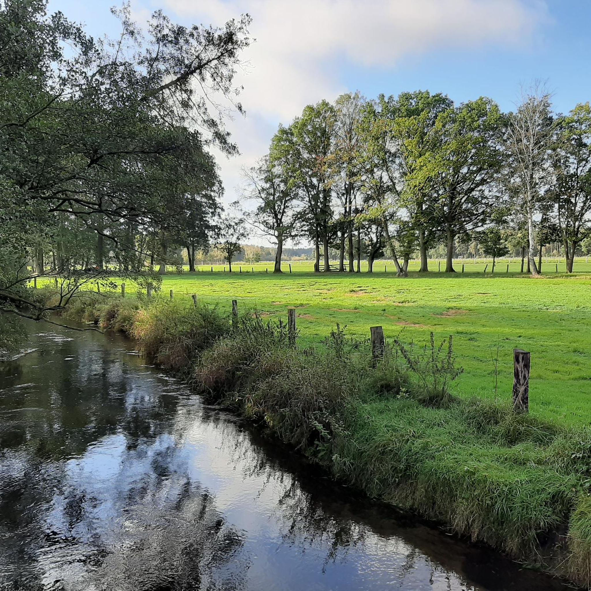
Road cycling around Tramont-Saint-André, located in France's Grand Est region, offers diverse terrain within the Aroffe river valley. The landscape features a mix of forests, arable land, and prairies, providing varied scenery for cyclists. Elevations in the commune range from 352 to 466 meters, contributing to routes with both gentle sections and more challenging climbs. This topography makes the area suitable for road cyclists seeking different levels of physical engagement.
Best road cycling routes around Tramont-Saint-André
- The most popular road…
Last updated: November 7, 2026
4.0
(1)
17
riders
79.4km
03:25
500m
500m
Moderate road ride. Good fitness required. Some segments of this route may be unpaved and difficult to ride.
9
riders
41.7km
01:46
340m
340m
Moderate road ride. Good fitness required. Mostly well-paved surfaces and easy to ride.

4.0
(1)
7
riders
193km
08:41
1,630m
1,630m
Hard road ride. Very good fitness required. Some segments of this route may be unpaved and difficult to ride.
8
riders
31.9km
01:35
380m
380m
Moderate road ride. Good fitness required. Mostly well-paved surfaces and easy to ride.
3.0
(1)
7
riders
47.7km
02:06
470m
470m
Moderate road ride. Good fitness required. Mostly well-paved surfaces and easy to ride.
Get access to more routes and recommendations from other explorers.
Already have an account?
Our route recommendations are based on thousands of hikes, rides, and runs completed by other people on komoot.
Start today with a free account
Your next adventure awaits.


Tips from the Community

another lock on the canal
0
0
beautiful cycle path along the canal
0
0
Beautiful cycle path along the canal
0
0

Lovely greenway for cyclists. Pleasant setting.
0
0

Beautiful cycle path along the Canal de Vosges.
7
0

The lock belongs to the Canal des Vosges, on the right is the branch to the Canal de Jonction de Nancy
1
0
It is the 46th lock on the Canal des Vosges. Immediately next to the lock is the canal that connects the Moselle with the Meurthe.
1
0
Frequently Asked Questions
How many road cycling routes are available around Tramont-Saint-André?
There are over 40 road cycling routes around Tramont-Saint-André, offering a diverse range of options for cyclists. These routes vary in difficulty, from easy to challenging, catering to different fitness levels.
What kind of terrain can I expect on road cycling routes in Tramont-Saint-André?
The terrain around Tramont-Saint-André is quite varied. You'll find routes winding through the verdant Aroffe river valley, alongside mixed forests, and across open arable land and prairies. Elevations range from 352 to 466 meters within the commune, providing both gentle sections and more challenging climbs, especially towards higher points like the Lorraine plateau.
Are there any easy road cycling routes for beginners or those seeking a relaxed ride?
Yes, there are 7 easy road cycling routes around Tramont-Saint-André. These routes are designed for a more relaxed pace, allowing you to enjoy the picturesque landscapes without significant physical exertion.
What are some notable landmarks or scenic viewpoints I can discover while cycling in the region?
Cyclists can enjoy several notable landmarks and scenic viewpoints. A key highlight is the Maurice Barrès Monument, also known as the Colline Inspirée or Hill of Sion, which offers panoramic views from the highest point of the Lorraine plateau. You might also encounter historical sites like the ruins of the Brunehaut Tower, a vestige of the Counts of Vaudémont, and the impressive Château d'Haroue.
Are there any circular road cycling routes available?
Yes, many of the routes around Tramont-Saint-André are designed as loops. For example, the popular Haroué Castle – Canal Path (La Voie Bleue) loop from Vandeléville and the Roadbike loop from Vandeléville are excellent circular options, allowing you to start and end your ride in the same location.
What do other road cyclists enjoy most about cycling in Tramont-Saint-André?
The komoot community highly rates the road cycling experience in Tramont-Saint-André, with an average score of 4.0 stars. Cyclists often praise the varied terrain, which includes both gentle river valleys and challenging climbs, as well as the picturesque rural landscapes of forests, arable land, and prairies.
What is the best time of year for road cycling in Tramont-Saint-André?
Tramont-Saint-André experiences a semi-continental climate, with hot summers and cold winters. The distinct seasonal beauty means spring and autumn are generally ideal for road cycling, offering pleasant temperatures and vibrant scenery. Summer can also be enjoyable, though it may be warmer, while winter rides would require appropriate cold-weather gear.
Are there any routes that pass through charming villages or offer opportunities to explore local culture?
Many routes traverse the rural landscapes, often passing through or near charming neighboring communes. For instance, the area around Château Lyautey offers a glimpse into the local heritage. Communes like Dommarie-Eulmont, known for its vineyards, and Pulney, with its picturesque settings, also contribute to the regional charm and can be explored during extended rides.
What is the longest road cycling route available in the area?
One of the longer routes is the Haroué Castle – Canal Path (La Voie Bleue) loop from Vandeléville, which spans 50.9 miles (82.0 km) and features a significant elevation gain of 1765 feet (538 meters).
Are there any routes with significant elevation gain for experienced cyclists?
Yes, for experienced cyclists seeking a challenge, routes like the RAD RACE 96h - CP2 loop from Vandeléville offer substantial elevation gain, with 479 meters of ascent over 37.4 km. The region's diverse topography, including climbs to the Lorraine plateau, provides ample opportunities for challenging rides.
Is there public transport or parking available for cyclists in Tramont-Saint-André?
While specific public transport details for cyclists are not provided, the rural nature of Tramont-Saint-André suggests that personal vehicle transport to starting points is common. Parking is generally available in and around the small communes, though it's always advisable to check local signage for specific regulations.
Can I find cafes or places to stop for refreshments along the cycling routes?
As you cycle through the rural landscapes and neighboring communes, you may find small local establishments. While not explicitly detailed for every route, exploring villages like Dommarie-Eulmont or Pulney could offer opportunities for refreshments or a break.
Most popular attractions around Tramont-Saint-André

Get inspired with the komoot mobile app


Explore more
Browse the best Road cycling routes in other regions.
