The best traffic-free bike rides around Tourrettes
4.3
(425)
7,753
riders
5
rides
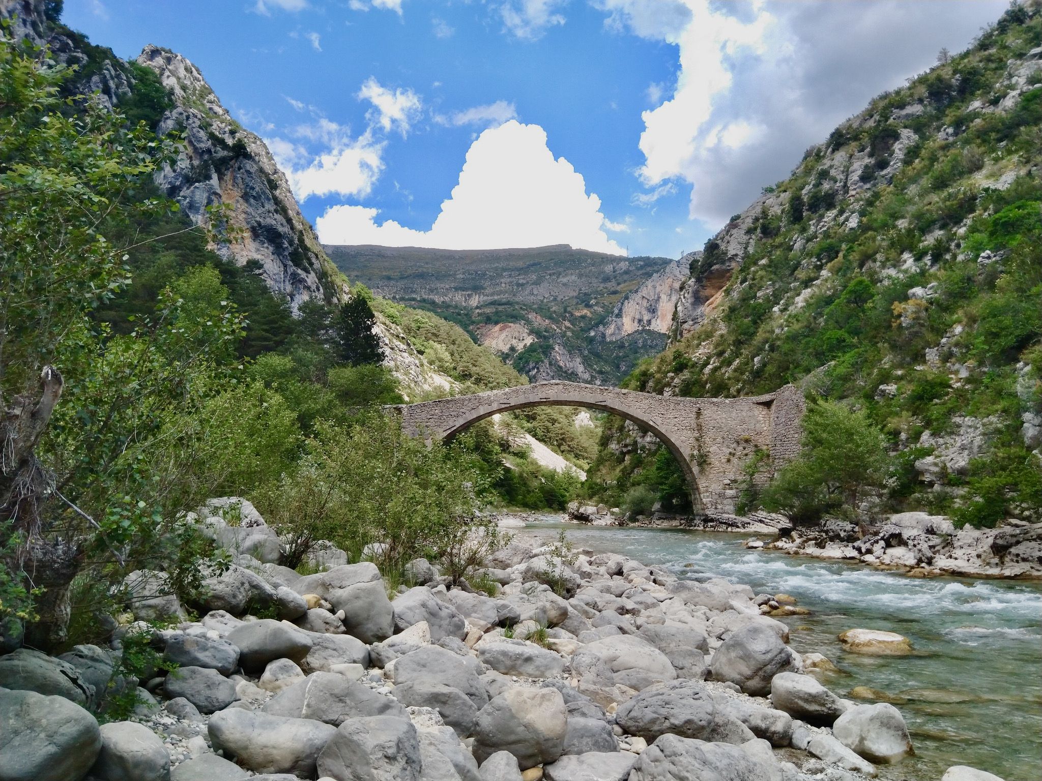
Road cycling around Tourrettes offers diverse terrain, situated between the Mediterranean coast and the Préalpes d'Azur Regional Natural Park. The region features winding roads that traverse limestone plateaus, dense forests, and dramatic gorges. Cyclists can expect routes with significant elevation changes and panoramic views, characteristic of the French Riviera hinterland. The landscape provides a varied backdrop for no traffic road cycling routes, catering to different skill levels.
Best no traffic road cycling routes around Tourrettes
- The most popular no traffic…
Last updated: August 16, 2026
61
riders
36.8km
02:02
720m
720m
Moderate road ride. Good fitness required. Mostly well-paved surfaces and easy to ride.
33
riders
34.0km
01:53
720m
720m
Moderate road ride. Good fitness required. Mostly well-paved surfaces and easy to ride.

Sign up for free
4.0
(1)
14
riders
19.7km
01:04
350m
350m
Moderate road ride. Good fitness required. Some segments of this route may be unpaved and difficult to ride.
4.0
(2)
11
riders
23.6km
01:17
480m
470m
Moderate road ride. Good fitness required. Mostly well-paved surfaces and easy to ride.
6
riders
25.0km
01:14
390m
390m
Moderate road ride. Good fitness required. Mostly well-paved surfaces and easy to ride.
Our route recommendations are based on thousands of hikes, rides, and runs completed by other people on komoot.
Start today with a free account
Your next adventure awaits.
Login or Signup

Other adventures around Tourrettes

Tips from the Community

Great ride! A gravel section before arriving in Callian.
0
0

A very pleasant walk along the Siagne Canal. A must-see for certain trail training sessions.
0
0

The climb up to the Col d'Avaye from the centre of Seillans is 7.1km long and climbs 360m at an average slope of 5%. The road is free of traffic and it has a good road surface. It had great views of the valley below.
1
0

There are locks around in front of the restaurant Securing bicycles if you don't have one with you as a racing cyclist.
0
0

Col d'Avaye can be taken by several routes. From Caillan it's 13.7 km of climbing at an average of 4.1% and a maximum gradient of 12%.
1
0
Steep slope lovers, this segment is made for you! After a slight descent on the road to Callian, turn left on the chemin des Touars. Here then stands a path for about 200 m, but with a demanding slope (8.8% on average) which will require you to develop the watts!
1
0

The Siagnole is a tributary of the Siagne in the French department of Var. It is sometimes also called Siagne de Mons or Roman Siagne. Here is.
2
0
Located at an altitude of 325m, the village owes its charm to its streets arranged in a spiral around the feudal castle (12th-13th century). Do not miss a visit to discover its rich heritage and its surroundings!
0
0
Frequently Asked Questions
How many no traffic road cycling routes are available around Tourrettes?
There are 7 dedicated no traffic road cycling routes around Tourrettes, all rated as moderate difficulty. These routes offer a great balance of scenic beauty and manageable challenges for most road cyclists.
What is the best time of year for no traffic road cycling in Tourrettes-sur-Loup?
The spring and autumn months are generally ideal for road cycling around Tourrettes-sur-Loup. The weather is pleasant, and the landscapes are vibrant. During warmer summer months, routes through areas like the Gorges du Loup can offer welcome shade, making them more comfortable.
Are there any no traffic road cycling routes suitable for beginners around Tourrettes?
All the listed no traffic road cycling routes around Tourrettes are rated as moderate. While none are specifically designated as 'easy,' a moderate route typically involves some elevation gain and distance but is generally manageable for cyclists with a reasonable level of fitness. Beginners might consider shorter options or routes with less overall climbing.
What notable landmarks or viewpoints can I expect to see along no traffic road cycling routes near Tourrettes?
The region offers stunning views and historical sites. You might encounter dramatic gorges, such as the Gorges du Blavet, or historical remnants like the Ruins of the Malpasset Dam. The medieval village of Tourrettes-sur-Loup itself, perched on a rocky spur, provides breathtaking panoramas over the surrounding valley and the Mediterranean Sea.
Are there any circular no traffic road cycling routes available?
Yes, many of the no traffic road cycling routes around Tourrettes are designed as loops, allowing you to start and finish in the same location. For example, the View of Mons – Saint-Cézaire Road loop from Montauroux offers a scenic circular ride through the countryside.
Where can I find parking for these no traffic road cycling routes?
Parking is generally available in and around the starting points of these routes, particularly in villages like Montauroux or Callian. It's advisable to check local parking regulations upon arrival, especially during peak seasons.
Can I reach the starting points of these routes using public transport?
While public transport options exist in the wider Provence-Alpes-Côte d'Azur region, direct access to all route starting points with a bike might be limited. It's best to research specific bus or train lines connecting to villages like Tourrettes-sur-Loup, Montauroux, or Callian and verify their bike carriage policies in advance.
Are there cafes or places to stop for refreshments along these routes?
Yes, many of the routes pass through or near charming Provençal villages where you can find cafes, bakeries, and small shops to refuel. The medieval village of Tourrettes-sur-Loup itself offers several options for refreshments and local delicacies.
What is the typical length and elevation gain for these no traffic road cycling routes?
The no traffic road cycling routes around Tourrettes vary in length, generally ranging from 20 to 35 kilometers. Elevation gain typically falls between 400 and 750 meters per route, providing a good workout with rewarding climbs and descents. For instance, the Gorges de la Siagne – View of Mons loop from Montauroux is about 30 km with nearly 600 meters of ascent.
What do other road cyclists enjoy most about road cycling in Tourrettes?
The area is highly rated by the komoot community, with an average score of 4.1 stars. Reviewers often praise the stunning panoramic views, the quiet, winding roads that minimize traffic, and the charming medieval villages encountered along the way. The diverse terrain, from gorges to plateaus, also contributes to a varied and enjoyable cycling experience.
Are there any routes that offer views of the Mediterranean Sea?
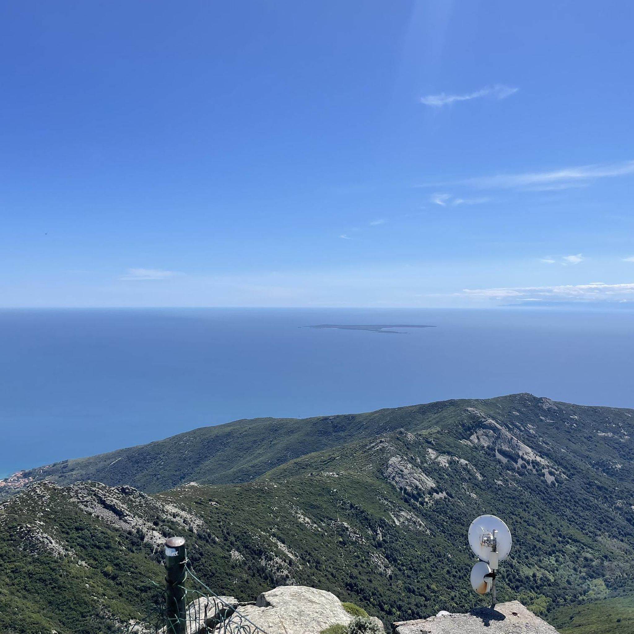
While Tourrettes-sur-Loup is nestled inland, its elevated position means that on clear days, some routes and viewpoints within the village itself offer glimpses of the shimmering Mediterranean Sea. Routes extending towards the coast, though potentially outside the immediate 'no traffic' focus, would provide more extensive sea views.
Most popular attractions around Tourrettes

Get inspired with the komoot mobile app


Explore more
Browse the best Road cycling routes in other regions.
