The best traffic-free bike rides around Authon
4.8
(21)
392
riders
5
rides
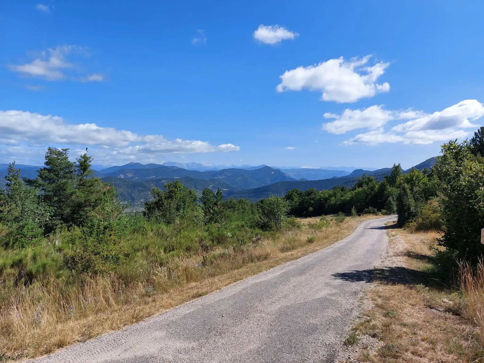
No traffic road cycling routes around Authon are set within the Massif des Monges, offering a natural setting with surrounding peaks and varied terrain. The region is part of the Haute-Provence Geopark, recognized by UNESCO, which contributes to diverse and visually striking scenery, including stratified cliffs and wooded hills. Road cyclists can experience routes that traverse between ridges and gorges, characterized by winding roads and challenging climbs. This area in the Alpes-de-Haute-Provence is known for its dramatic canyons and picturesque…
Last updated: July 19, 2026
4.0
(1)
14
riders
37.2km
02:00
720m
720m
Moderate road ride. Good fitness required. Mostly well-paved surfaces and easy to ride.
7
riders
34.1km
02:07
860m
860m
Moderate road ride. Good fitness required. Mostly well-paved surfaces and easy to ride.

Sign up for free
5.0
(1)
12
riders
29.5km
01:36
570m
570m
Moderate road ride. Good fitness required. Mostly well-paved surfaces and easy to ride.
6
riders
19.7km
01:12
540m
540m
Moderate road ride. Good fitness required. Mostly well-paved surfaces and easy to ride.
Our route recommendations are based on thousands of hikes, rides, and runs completed by other people on komoot.
Start today with a free account
Your next adventure awaits.
Login or Signup

Other adventures around Authon

Tips from the Community

Not the most beautiful highlight. But the drive there is definitely worth it! Especially if you're coming from the south. For campers at Le Clot du Jay: highly recommended!
0
0
The title says it all. But it is also very idyllic anyway
0
0
This whole path climbs steadily. You'll even have to push yourself a bit at times. But that's a great warm-up for the climbs to come!
0
0

Little traffic. It connects the Sasse valley to the Turriers basin. It is located at an altitude of 1,176 meters.
1
0

Located in the Prealps of Digne, near the confluence of the Sasse and the Vermeil, this small village dates back to Antiquity. Renowned for its wine-growing activity, it is also known for its agricultural operations, notably with the production of two AOCs and nine IGPs.
1
0

I can't, I have a bike...
0
1

Nice gravel track! Sometimes a bit rocky but rideable on a gravel bike
0
0

Near the rehabilitation and functional rehabilitation center "l'eau vive", the road offers a panorama of the village and the surrounding mountains.
0
0
Frequently Asked Questions
How many no-traffic road cycling routes are available around Authon?
There are 6 dedicated no-traffic road cycling routes around Authon, offering a range of moderate to difficult challenges for cyclists seeking quiet roads and stunning scenery.
What kind of terrain can I expect on these car-free road cycling routes?
The routes around Authon traverse varied terrain, from wooded hills and areas of black marl clay to dramatic ridges and gorges within the Massif des Monges. You'll encounter challenging climbs and passes, characteristic of the Alpes-de-Haute-Provence region, providing both physical challenge and breathtaking panoramic views.
Are there any challenging climbs on the no-traffic routes?
Yes, the region is known for its challenging mountain passes. For example, the Col de Fontbelle (1304 m) – Fontbelle Pass loop from Église d'Auribeau features a significant elevation gain of over 970 meters, making it a difficult but rewarding ride. The area is connected to the 'P'tites Routes du Soleil®' which includes climbs like the Col de Font-Belle and Col d'Hysope.
What do other road cyclists enjoy most about the no-traffic routes in Authon?
The komoot community highly rates the road cycling experience in Authon, with an average score of 4.6 stars from 13 ratings. Reviewers often praise the quiet, scenic roads, the challenging climbs, and the dramatic landscapes of the Haute-Provence Geopark.
Are there any natural attractions or viewpoints along these routes?
Absolutely. The region is part of the UNESCO Global Geopark, offering diverse and visually striking scenery. You can find highlights like the Saut de la Pie Waterfall and the dramatic Clue de Barles. Many routes offer panoramic views of peaks such as Les Monges and Coste Belle Summit.
Are there any circular no-traffic road cycling routes available?
Yes, many of the routes are designed as loops. For instance, the Valvoire slope – Clamensane loop from Bayons and the Les Tourniquets – Col des Sagnes loop from Clamensane are excellent options for circular rides, ensuring you return to your starting point without retracing your path.
What is the best time of year for no-traffic road cycling in Authon?
The Alpes-de-Haute-Provence region generally offers pleasant cycling conditions from spring through autumn. Summer provides warm weather, but spring and early autumn often have milder temperatures and vibrant scenery, ideal for tackling the climbs and enjoying the quiet roads.
How long are the no-traffic road cycling routes around Authon?
The routes vary in length, catering to different preferences. You can find rides like the Les Tourniquets – Col des Sagnes loop from Bayons, which is approximately 19.5 km, or longer options such as the Valvoire slope – Clamensane loop from Bayons, spanning over 37 km.
Are there any routes suitable for advanced road cyclists seeking a challenge?
Yes, advanced cyclists will find routes that offer significant challenges. The Col de Fontbelle (1304 m) – Fontbelle Pass loop from Église d'Auribeau is classified as 'difficult' with nearly 1000 meters of elevation gain, providing a demanding and rewarding experience through mountainous terrain.
Can I connect to larger cycling networks from Authon?
Authon is strategically located near the 'P'tites Routes du Soleil®' cycle route, a significant itinerary spanning approximately 900 km through the Pre-Alps. A segment of this route, from Sisteron to Digne-les-Bains, passes close to Authon, allowing for connections to broader cycling adventures. More information can be found on France Vélo Tourisme.
What makes the roads around Authon particularly quiet for cycling?
Authon's location within the Massif des Monges and its historical role on transhumance routes mean that many paths are less frequented by vehicle traffic. The focus on specific 'no-traffic' routes ensures a peaceful cycling experience away from busy roads, allowing you to fully immerse yourself in the natural surroundings.
Most popular attractions around Authon

Get inspired with the komoot mobile app


Explore more
Browse the best Road cycling routes in other regions.
