The best traffic-free bike rides around Authon
4.8
(26)
341
riders
9
rides
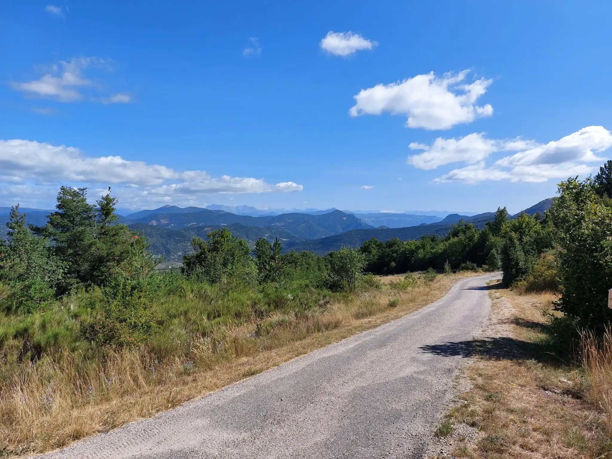
No traffic touring cycling routes around Authon traverse a region characterized by mountainous terrain and diverse natural features. The landscape includes elevated areas that offer challenging ascents and scenic descents, providing panoramic views. Natural scenery, including serene waterways and rugged river valleys, can be incorporated into cycling routes. The area also presents unique geological interests, adding educational and visual appeal for touring cyclists.
Best no traffic touring cycling routes around Authon
- The most popular no traffic touring cycling route is…
Last updated: May 25, 2026
5.0
(1)
6
riders
38.9km
03:27
1,060m
1,060m
Hard bike ride. Very good fitness required. Some segments of this route may be unpaved and difficult to ride.
14
riders
36.0km
03:22
820m
820m
Hard bike ride. Very good fitness required. You may need to push your bike for some segments of this route.

Sign up for free
5.0
(1)
8
riders
27.5km
01:54
510m
510m
Hard bike ride. Very good fitness required. Mostly paved surfaces. Suitable for all skill levels.
5
riders
22.0km
02:47
990m
990m
Hard bike ride. Very good fitness required. Mostly paved surfaces. Suitable for all skill levels.
3
riders
17.0km
01:59
730m
730m
Hard bike ride. Very good fitness required. Mostly paved surfaces. Suitable for all skill levels.
Get access to more routes and recommendations from other explorers.
Sign up for free
Already have an account?
Our route recommendations are based on thousands of hikes, rides, and runs completed by other people on komoot.
Start today with a free account
Your next adventure awaits.
Login or Signup

Other adventures around Authon

Tips from the Community

Not the most beautiful highlight. But the drive there is definitely worth it! Especially if you're coming from the south. For campers at Le Clot du Jay: highly recommended!
0
0

Little traffic. It connects the Sasse valley to the Turriers basin. It is located at an altitude of 1,176 meters.
1
0
The length of its watercourse is 39.2 km1. The Sasse has its source in the commune of Selonnet, north of the Tête Grosse summit (2,032 m), at an altitude of 1,920 m along the Tête Grosse ski lift in the Chabanon-Selonnet ski resort. It is also called the Piche ravine in this upper part. It flows generally from east-northeast to west-southwest. It flows into the left bank of the middle Durance4 in the commune of Valernes at an altitude of 470 m below the ruins of the Bastide Blanche.
2
0
The Astoin turnstiles refer to the series of hairpin bends described by the departmental road no. 1 to cross the rocky barrier formed by the Jurassic limestones that close the Sasse basin to the north. This road replaced the mule track that winds along the other bank of the Eau Amère and which is much older: it already appears on the Cassini map in the 18th century. This road allows the Bayons valley, its forests, its mountain pastures to communicate with the Turriers basin and, via the Garcinets pass, with Seyne and the Blanche valley. This RD 1 partly succeeded the main road from Seyne to Apt (1885), itself the heir to the D 17 of 1813. It should be noted that the village of Bayons is only served by this single road which must cross the Tourniquets upstream and the Clue de Bayons downstream.
0
0
The way to get there is essentially on the road but it is almost deserted and the view of the gorges is sublime.
2
0

We can thank the town for this mountain bike wash station along the Vanson. This also allows you to swim in the stream and refill your water bottles. There is also a car park for day trips by mountain bike or towards the Col de Fontbelle
1
0

Here, the trail passes a few meters from the Vanson. A tributary of the Durance, it is therefore a sub-tributary of the Rhône. There is an old destroyed bridge as well as a small footbridge. This place allows you to treat yourself to a pleasant moment of freshness.
1
0
Frequently Asked Questions
How many no-traffic touring cycling routes are available around Authon?
There are 9 dedicated no-traffic touring cycling routes around Authon, offering a variety of experiences for cyclists looking to explore the region's natural beauty without vehicle interference.
What is the typical difficulty level of touring cycling routes in Authon?
The majority of no-traffic touring cycling routes around Authon are classified as difficult, with 8 out of 9 routes falling into this category. These routes often feature significant elevation gains, reflecting the mountainous terrain of the Alpes-de-Haute-Provence region. There is one moderate route available for those seeking a slightly less strenuous ride.
Are there any circular touring cycling routes in Authon?
Yes, several routes around Authon are designed as loops, allowing you to start and finish at the same point. Examples include the challenging Tour de Fontbelle, the The Vanson – Queen Jeanne Bridge loop from Le Vançon, and the Coste Belle Summit – Les Monges loop from Authon.
What kind of natural scenery can I expect on these routes?
The routes around Authon traverse diverse landscapes, from mountainous terrain with panoramic views, as suggested by nearby ski resorts, to serene natural areas like the Plan d'eau des Marres. You'll encounter rugged valleys, and potentially picturesque river areas, offering a rich variety of natural beauty typical of the Alpes-de-Haute-Provence.
What attractions can I visit along or near the touring cycling routes?
You can explore several interesting attractions. Natural highlights include the dramatic Clue de Barles and Gorges d'Auzet. For a unique geological stop, consider visiting "La dalle aux ammonites" which is about 15.8 km from Authon. The Saut de la Pie Waterfall is another beautiful natural sight. Historically, the Sisteron Citadel is also within reach, offering a cultural detour.
What is the best time of year for touring cycling in Authon?
Given the mountainous nature of the region, spring through early autumn (roughly May to October) is generally the best time for touring cycling in Authon. During these months, the weather is typically more stable, and mountain passes are clear of snow, offering optimal conditions for enjoying the scenic routes. Winter cycling might be challenging due to snow and colder temperatures, especially at higher elevations.
Are there any routes suitable for beginners or families?
Most routes in this guide are classified as difficult, indicating they are better suited for experienced touring cyclists due to significant elevation changes. There is one moderate route available, but for families or beginners, it's advisable to carefully review the route profiles for distance and elevation before setting out. The region's challenging terrain means truly 'easy' no-traffic touring routes are less common.
What do other touring cyclists say about the routes in Authon?
The komoot community highly rates the touring cycling experience around Authon, with an average score of 4.8 stars. Reviewers often praise the stunning natural beauty, the challenging yet rewarding ascents, and the tranquility of the no-traffic routes that allow for an immersive experience in the Alpes-de-Haute-Provence landscape.
What are some of the longer no-traffic touring cycling routes available?
Among the longer options, the Tour de Fontbelle covers approximately 38.9 km with over 1000 meters of elevation gain, making it a substantial ride. Another significant route is The Vanson – Queen Jeanne Bridge loop from Le Vançon, which is about 36 km long.
Are there any hidden gems or unique spots to discover on these routes?
Beyond the main routes, the region offers unique spots like the Les Monges summit, which can be part of a challenging loop from Authon. The geological site "La dalle aux ammonites" also offers a distinctive point of interest. Exploring the various gorges, such as Bélier Ravine, can lead to less-traveled, scenic areas.
Is public transport accessible near the starting points of these routes?
Information on specific public transport links directly to the starting points of these no-traffic touring cycling routes is limited. Given Authon's rural location in the Alpes-de-Haute-Provence, public transport options might be infrequent. It is generally recommended to plan for personal vehicle access or check local bus schedules for the most up-to-date information if relying on public transport.
Most popular attractions around Authon

Get inspired with the komoot mobile app


Explore more
Browse the best Cycling routes in other regions.
