The best traffic-free bike rides around Aubepierre-Ozouer-Le-Repos
5.0
(1)
16
riders
4
rides
Gravel biking around Aubepierre-Ozouer-Le-Repos, located in the Seine-et-Marne department of the Île-de-France region, features a gentle, undulating French countryside. The terrain is characterized by a blend of agricultural fields and small woodlands, offering quiet countryside paths away from busier roads. This topography, combined with low elevation gains, makes the area suitable for various fitness levels.
Best no traffic gravel bike trails around Aubepierre-Ozouer-Le-Repos
- The most popular no traffic gravel bike trail is Old railway – Former Mandres Train Station loop…
Last updated: May 24, 2026
7
riders
28.0km
01:32
180m
180m
Moderate gravel ride. Good fitness required. Mostly paved surfaces. Suitable for all skill levels.
4
riders
43.2km
02:24
220m
220m
Moderate gravel ride. Good fitness required. Mostly paved surfaces. Suitable for all skill levels.

Sign up for free
5.0
(1)
2
riders
40.7km
02:25
190m
190m
Hard gravel ride. Good fitness required. You may need to push your bike for some segments of this route.
Our route recommendations are based on thousands of hikes, rides, and runs completed by other people on komoot.
Start today with a free account
Your next adventure awaits.
Login or Signup
Popular around Aubepierre-Ozouer-Le-Repos
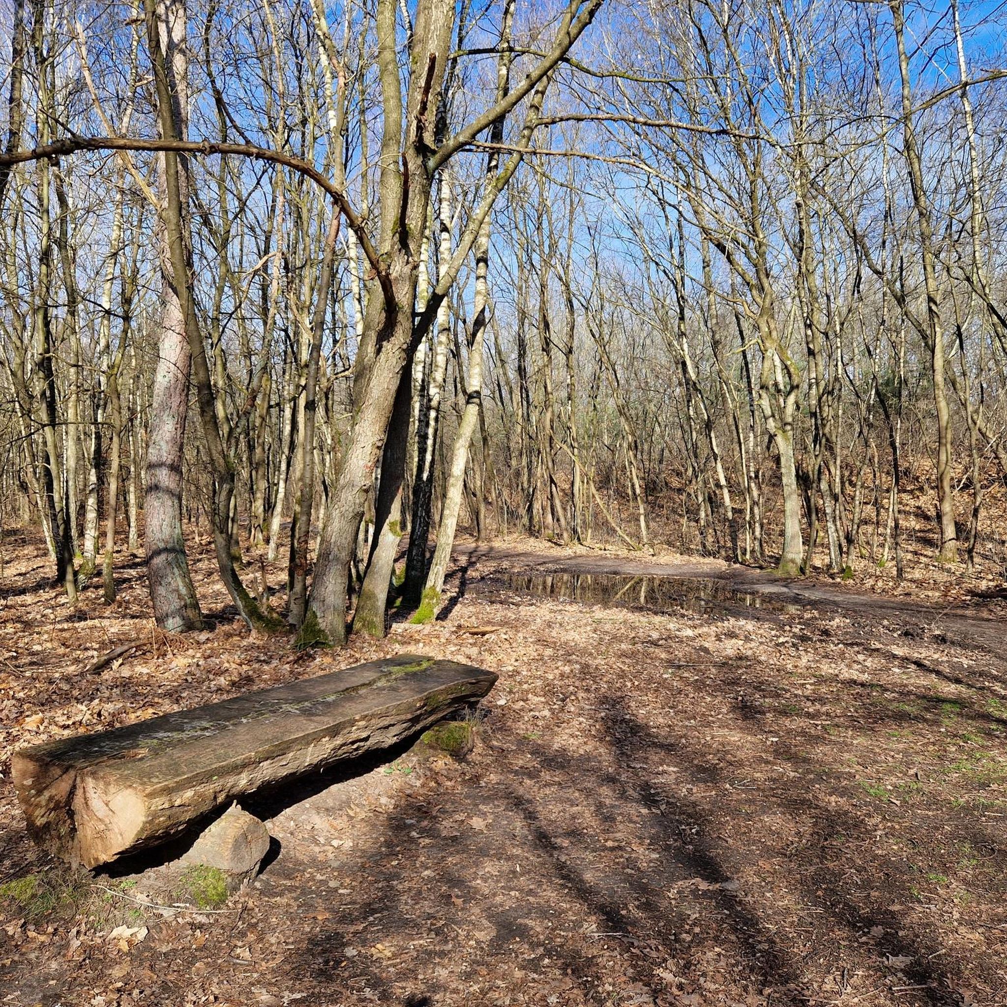
Tips from the Community

nice tour without major difficulties
0
0

a long and quiet road (except on Sundays in summer when there are more people)
0
0

Discover a fascinating monument: the menhir of Sainte-Flodoberthe. According to legend, this menhir is linked to the history of Sainte-Flodoberthe and her sister Sainte-Aubierge, illustrating both the historical heritage and local mythical stories. A fascinating place, combining mystery and beauty, ideal for cyclists in search of discovery and historical adventure.
0
0

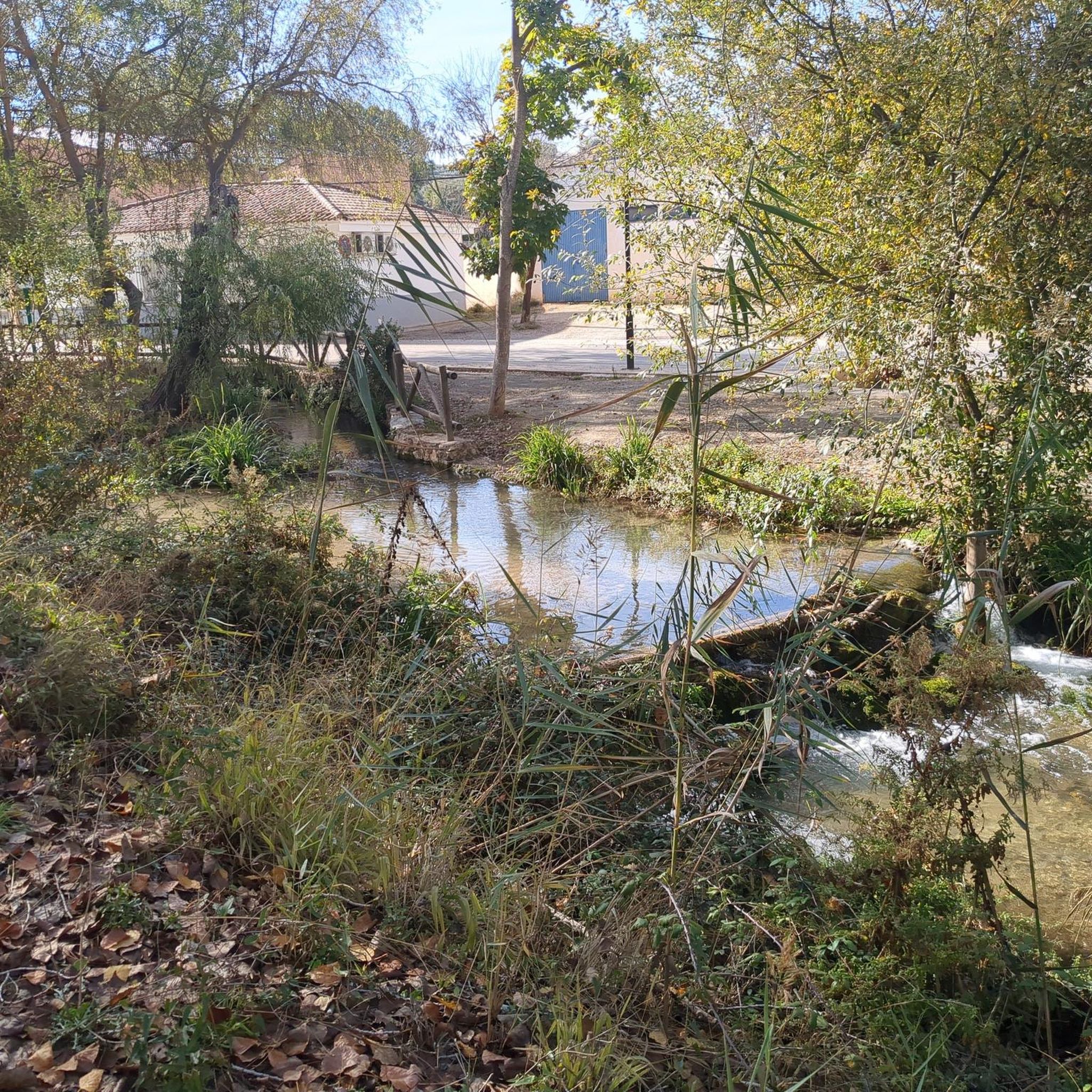
In the Yerres Valley, the Chemin des Roses is an opportunity for cyclists to stroll among walkers and horse riders to discover the region. Here, a bridge allows you to admire the river up close.
0
0

Excellent white path trail perfect for gravel
1
0

Menhir of Pierrefitte 3 m high is known under the name of Saint-Aubierge gable or Saint Flodoberthe. These names testify to the Christianization of pagan sacred places during the early Middle Ages. According to the legend Saint FlodoBerthe, a nun from Faremoutiers Abbey in the 7th century decided to establish a chapel between Faremoutiers and Saintes. Not finding a stone to carry out her project, she shared her wish with her sister Sainte Aubierge, the latter brought back the menhir in her apron, the shape of which evokes a church gable, she let go of the corner of her apron and the stone stuck. in the Maillard pond in its current place.
1
0

The route is very pleasant. Including when the weather is very humid like recently. Overall rideable in all weather conditions.
1
0
The menhir is made up of a large sandstone slab 3.50 m high with a width at the base of 2.40 m and an average thickness of 0.50 m. It has an oblique groove approximately 2 m long by 4 cm wide on its face and obtained by staking to a depth of 1 cm. An excavation carried out at the foot of the menhir did not yield any archaeological material2. Sainte-Flodoberthe and her sister Sainte-Aubierge both built their respective chapels in Amillis and Saint-Augustin. Sainte-Flodoberthe having finished building hers wanted to offer a beautiful stone to her sister but on the way she met the latter who came to tell her that she had also completed her project. Sainte-Flodoberthe then abandoned the stone on the spot. As for the groove, it would have been made by the handle of Sainte-Flodoberthe's distaff which spun while walking with the stone under her arm2. Source: https://fr.wikipedia.org/wiki/Pierre-Fitte_(Beautheil)
0
0
Frequently Asked Questions
How many no-traffic gravel bike trails are available in Aubepierre-Ozouer-Le-Repos?
There are 5 dedicated no-traffic gravel bike routes around Aubepierre-Ozouer-Le-Repos, all offering a moderate challenge and a peaceful ride through the countryside.
What is the typical terrain like on these gravel bike trails?
The terrain in Aubepierre-Ozouer-Le-Repos is characterized by a gentle, undulating French countryside. You'll find a mix of agricultural fields and small woodlands, providing diverse scenery from shaded trails to expansive views. The low elevation gains make these routes accessible and enjoyable.
What is the best time of year to go gravel biking in Aubepierre-Ozouer-Le-Repos?
Spring and autumn are generally ideal for gravel biking in this region, offering pleasant temperatures and beautiful scenery as the fields change color. Summer can also be enjoyable, especially in the woodlands, but be prepared for warmer weather.
Are the gravel bike trails in Aubepierre-Ozouer-Le-Repos suitable for beginners?
All the listed routes are rated as moderate difficulty, meaning they are suitable for riders with some cycling experience. The low elevation gains and quiet paths make them approachable, but a basic level of fitness is recommended for the distances involved.
Are there any circular gravel bike routes available?
Yes, all the no-traffic gravel bike routes in this guide are circular. For example, you can enjoy the Old railway – Former Mandres Train Station loop from Ozouer-le-Voulgis or the Chemin des Roses – Old railway loop from Ozouer-le-Voulgis, both starting and ending in the same location.
What historical landmarks can I see while gravel biking?
Many routes incorporate local villages and historical landmarks. You might pass by sites like the Château du Vivier or the impressive Blandy‑les‑Tours Castle, adding a cultural dimension to your ride. The Solers viaduct is another notable historical point of interest.
Are these no-traffic gravel routes suitable for families?
Given the moderate difficulty and distances (ranging from 28 km to 48 km), these routes are best suited for families with older children who are comfortable with longer rides. The quiet, traffic-free nature of the trails makes them safe and enjoyable for a family outing.
Can I bring my dog on these gravel bike trails?
While many rural paths in France are dog-friendly, it's always best to keep your dog on a leash, especially when passing through agricultural areas or near livestock. Be mindful of local regulations and ensure your dog is comfortable with the distance and terrain.
Where can I find parking near the trailheads?
The routes typically start from villages like Ozouer-le-Voulgis, Verneuil-l'Étang, or Rozay-en-Brie. You can usually find public parking available in these village centers, which serve as convenient starting points for your gravel biking adventure.
Are there places to eat or drink along the routes?
The routes pass through or near several small villages. While not every village will have extensive options, you can often find local bakeries, small cafes, or traditional pubs (auberges) to refuel. It's always a good idea to pack some snacks and water, especially for longer sections between villages.
What do other gravel bikers enjoy the most about gravel biking in Aubepierre-Ozouer-Le-Repos?
The komoot community highly rates the routes in this area, with an average score of 5.0 stars. Reviewers often praise the tranquility of the no-traffic paths, the picturesque rural scenery, and the opportunity to explore the quiet French countryside away from busy roads.
What is the longest no-traffic gravel bike route in this guide?
The longest route featured is the Old railway – The Chemin des Roses loop from Verneuil-l'Étang, which covers approximately 48 kilometers. It offers an extended exploration of the region's quiet paths and charming landscapes.
Most popular routes around Aubepierre-Ozouer-Le-Repos
Most popular attractions around Aubepierre-Ozouer-Le-Repos

Get inspired with the komoot mobile app


Explore more
Browse the best Gravel rides in other regions.
